Impressions Photographique de Montréal

It took a few days of walking, cycling, and driving around Montréal before Leah and I found our bearings from atop Mont Royal.

We roamed the rues and parcs of the city in search of historic, cultural, and architectural significance–with an emphasis on good food…and we found it in many of the neighborhoods we visited.

Nouilles de Lan Zhou – Noodle Shop

We followed in the steps of 6 million annual tourists who stroll, bike, blade and run between Notre-Dame-de-Bon-Secours Chapel (1771), 

and the Sailors’ Memorial Clock (1922) at the Vieux-Port de Montréal (Old Port).

We shared a laugh after spotting yet another monster-sized Ferris wheel on the pier, but La Grande Roue de Montréal, erected in 2017 to celebrate Montréal’s 350th anniversary is one of several family attractions that appeal to tourists near and far.

In 1642, New France took root on the banks of the Saint Lawrence River, where French traders and the Crown established a fort (Ville-Marie) in support of a flourishing fur trade. Roman Catholic missionaries followed, intending to establish a North American parish that could convert the Iroquois to Christianity, and build a cathedral that was worthy of a New World capital.

Notre-Dame Basilica was designed by James O’Donnell in a Gothic Revival style, and built behind the original parish church.

Robert Auchmuty Sproule (1799-1845)

The sanctuary was completed in 1830,

and the towers followed in 1841 and 1843.

The interior’s intricate stone and wood carvings were completed in 1879.

The pipe organ dates to 1891. It comprises four keyboards, 92 stops, 7000 individual pipes and a pedal board.

Arson destroyed the more intimate Sacre-Coeur Chapel in 1978, but it was rebuilt from original drawings, and finished with an immense bronze altarpiece by Quebec sculptor Charles Daudelin.

It’s a 5-minute Metro ride from downtown to Parc Jean-Drapeau, an island park surrounded by the Saint Lawrence River. Half the park is natural (Saint Helen’s Island) and the other half is artificial (Ile de Notre Dame), conceived with rock excavated from Montréal’s Metro tunnels.

The park is a fitting tribute and memorial for its namesake, Jean Drapeau. As mayor of Montréal (1954-1957, 1960-1986), he was instrumental in bringing Expo67 to his city. Drapeau is also remembered for securing the 1976 Summer Olympics for Montréal, as well as successfully lobbying Major League Baseball for a major league franchise during its 1969 expansion (Kansas City Royals, Montreal Expos, San Diego Padres, and Seattle Pilots).

Few pavilions from Expo67 remain on the island. Notably, the French pavilion has been repurposed as Canada’s largest casino.

And the United States pavilion, featuring Buckminster Fuller’s geodesic dome has also been preserved, despite a fire in1976 that burned through the structure’s acrylic bubble, leaving only the steel trusses.

Fortunately, the exhibition space within the dome was spared, and has been transformed into an interactive museum named Biosphere, that tells the story of our environment through several rooms of multimedia presentations,

and a wraparound theater space.

But its the iconic geodesic dome that most visitors have come to experience. The New York Times picked the dome as one of “the 25 Most Significant Works of Postwar Architecture.”

Geometry majors may discover 32 triangles from the center of each vertex to the next vertex.

Montréal is also a culinary haven for foodies. We sampled wood-oven-baked bagels from St-Viateur, and smoked meat from Chez Schwartz in the Jewish Quarter. For dinner, Leah and I migrated to Chinatown to sample the fare with Jennifer, a dear friend in town for business.

We settled on a tasty meal of soup dumplings at Mai Xiang Yuan Dumpling, but wondered out loud about the long queue out the the door for Gol’s Lanzhou Noodle Shop.

We made a mental note and returned to Gol’s the following evening, only to find another long line of future diners waiting patiently. I spent my wait time studying the noodle maker through the window…

and tasted his skillset in my meal when we were finally seated and served a tureen-sized portion of steaming heaven.

Authentic Lanzhou braised beef and noodles

These were beef noodles to stand in line for, whenever I’m back in Montréal.

Flowerpot Rocks

Every six hours, twice a day–give or take a few minutes, depending on the tidal charts–the Bay of Fundy empties into the Atlantic Ocean,

and exposes the ocean floor.

When the tide rolls out,

the effect at the harbor is dramatic enough to leave fishing vessels resting on their laurels.

And peculiar things happen on the Saint John River…

on its way to the Bay of Fundy.

When the Saint John River drains into the Bay of Fundy at the Reversing Falls Bridge…

it triggers a phenomena seen nowhere else: water being pushed up the channel to create an inverted waterfall.

At its highest, the Bay of Fundy’s tide reaches 56 ft.–equivalent to a 5-story building…or boat.

But when the bay recedes, what’s revealed is often surprising and stunning.

Consider the rocky reef at Cape Enrage,

which supports a pop-up sculpture park…

overseen by the Cape Enrage Lighthouse–still protecting New Brunswick’s coastline since 1870.

However, there’s a different phenomena to behold during low tide at Hopewell Rocks Provincial Park,

that’s absolutely enchanting.

Tidal erosion has sculpted these magnificent cliff remnants into distinctive shapes, with sizes ranging from 40 to 70 feet high.

Scientists have nicknamed these formations Flowerpot Rocks for obvious reasons.

The cape is vast,

with so much to explore,

but time for roaming the ocean floor is strictly regulated, and closely monitored by security,

lest a tourist get pinned to the rocks by the surging tide,

and get swept away by unexpected beauty.

`

Catching Up to Real Time*

For the past two months, Leah and I have been coasting along the coastlines of Maine,

Denning Brook–Mt. Desert, ME
Hadley Point Beach–Bar Harbor, ME

and the Canadian Provinces of Nova Scotia,

Cabot Trail–Cape Breton, NS
Hector Heritage Quay–Pictou, NS

New Brunswick,

Île-Aux-Foins Park–Neguac, NB
Hopewell Rocks–Hopewell Cape, NB

and Prince Edward Island…

MacKenzies Brook–Cavendish Beach, PEI
Greenwich Trailhead–Saint Peters Bay, PEI

in our Airstream Globetrotter,

Beach Rose RV Park–Salisbury, MA

with a stopover in Grand Falls, NB…

Grand Falls Gorge–Grand Falls, NB
Grand Falls Gorge Trail–Grand Falls, NB

before following the St. Lawrence River from Quebec City…

Saint Lawrence River–Quebec City, QC
Montmorency Falls–Quebec City, QC

to Montreal.

Mont Royal Park–Montreal, QC
Biosphere, Parc Jean-Drapeau–Montreal, QC

Yet all the while, I’ve been reporting on our epic, 2-week adventure in Iceland. Needless to say, it’s been a bit disorienting with my body in Canada and my mind’s eye in Iceland.

Dynjandi–Arnarfjörður, Iceland

And to further complicate the blog timeline, Leah and I recently bid ‘adieu‘ to Canada, without posting from our Canadian exploits.

Currently, we are spending the week in Lake Placid,

Lake Placid from Whiteface Mountain summit,–Wilmington, NY
AuSable Chasm–Wilmington, NY

where once again, I find myself struggling to regain my geographical balance within the space-time continuum.

Which presents a new dilemma: do I recreate my travel chronology (starting with Acadia National Park) and continue reliving the past, or do I write about where I am, here and now?

I’ve given it lots of thought, and have come to the conclusion that writing about faraway places is far easier when I’m not so far away–in space and time.

Of course, I reserve the right to blog about past Canadian adventures, but only from a distance.

*All photography taken with my Samsung GS20 Plus 5G smartphone.

A New Adventure

It’s been a while… nearly 5 months since my last post…

I could blame coronavirus for the lapse, but that would be cheating,

Truth is…

I took a vacation from writing just as Covid-19 was rolling out a fresh variant.

I was gathering details about Alex Jordan’s sprawling House on the Rock for a future photographic commentary on excessiveness,

when I folded my laptop and put my writing away… until it felt like less of a job.

I always intended on working my way back to it…

But then I got married…

to Leah, after 17 years of togetherness…

in front of friends and family!

We partied long into the night….

with historic St. Augustine as our magical backdrop.

And we’ve planned a super summer honeymoon. We’ve loaded up the Airstream and we’re heading for New River Gorge National Park in West Virginia. There’s a week stopover in NY/NJ, and then we’re off to Iceland for 2 weeks.

When we return, we’ll camp at Acadia National Park before crossing into Canada for a drive around the Bay of Fundy, the Cape Breton Highlands, Prince Edward Island, and down the St. Lawrence Seaway, with stops in Quebec City and Montreal.

Our southern route home includes time in Lake Placid, Lake Luzerne, the Jersey Shore, and northern Georgia.

I hope to share the highlights as soon as we make them.

A Change of Scenery

Plans change.

Long before COVID-19, Leah and I arranged a summer Airstream adventure that would start with a month at the Jersey shore–where we could spend quality time with friends and family. We were also looking forward to participating in granddaughter Lucy’s Bat Mitzvah ceremony which was three years in the making.

Kathel Matt Lucy sign

Thereafter, stops at the Cape and Portsmouth would precede a visit to Acadia National Park before crossing over to Canada to pub crawl along George Street in St. John’s, whale watch at Cape Breton, feast on PEI mussels, and stroll through Old Quebec before returning stateside.

It promised to be a rewarding road trip, worthy of miles of picturesque scenery and memories. However, the pandemic had other plans for us. For one, Canada had closed its border to us. And secondly, Northern New Jersey was adjusting to its epicenter outbreak.

It appeared that we were doomed to succumb to another of Florida’s steamy summers–unless we could tailor a brief, albeit cautious round trip to attend Lucy’s Bat Mitzvah. Of course, hauling our bedroom-kitchen-bathroom capsule would be a decided travel advantage, knowing we were insulated from motel maladies, risky restaurants, and nasty public restrooms on our way North.

So we sketched out a new plan, and off we went.

Ordinarily, to avoid RV resort and campground fees during overnight transitions, Leah and I would scout the area for Wal-Marts, since Wal-Mart has a long-standing tradition of allowing RVs and travel trailors to boondock in remote sections of their parking lot. But after driving 7 hours through stormy weather, we settled behind a quiet Cracker Barrel in Wilson, NC where drag racing and doughnuts were less likely to occur.

Cracker Barrel

Another 8 hours of driving the following day brought us to Lucy’s house, where a deep driveway in the front provided a perfect spot for suburban camping,

driveway Airstream

and the tent in the backyard provided the perfect cover for Lucy’s weekend ceremony.

backyard

Attending this Bat Mitzvah seemed like a miracle, considering the circumstances, although Lucy could never have imagined that her special day would become a rain-or-shine, mask-wearing, socially-distanced ceremony staged in her backyard.

Leah Jimmy Kathel

Lucy’s decision to become a Bat Mitzvah took many of us by surprise, because her dad, Matt was a lapsed Catholic who traditionally participated in holiday decorations and gift-giving, while Danielle, her mom was a non-practicing Jew who balanced Christmas with 8 nights of Hanukkah celebrations, which was always rewarding for Lucy.

Nevertheless, Lucy came by her decision independently, and was fully supported by both parents. Despite being Jewish by default (Judaism follows matrilineal descent), Lucy followed her curiosity, and with her tutor, Galia’s help, she slowly began to identify with Jewish history and culture, while looking for purpose in its doctrine.

After a year of discovering the Old Testament and learning the meaning of many age-old traditions, Lucy decided she wanted to become a Bat Mitzvah–to celebrate her coming of age and her beginning of life as a fully participating Jewish adult.

To that end, Danielle secured Cantor Barbra on Galia’s recommendation,

cantor

who home-schooled Lucy in Hebrew reading, challenged her to read from the Torah, and counseled her in conceiving a meaningful mitzvah project. It was a two-year task that Lucy embraced, along with her school work and dancing and gymnastics and music lessons and play dates with friends.

After brain-storming and soul-searching, and empathizing with the plight of immigrant children separated from their parents at the Mexican border, Lucy elected to stage a fundraising benefit for ASTEP Forward (Artists Striving to End Poverty).

She coordinated an evening of music and dance at Fairlawn Community Center, and recruited notable talent (including James Brennan, acclaimed Broadway actor, choreographer, director and grandfather) to fill the bill, ultimately raising $3500 in ticket sales and merchandise for the organization that delivers performing arts workshopss to underserved communities across metropolitan New York.

She also managed to perform a song and dance duet that featured Bumps (Grandpa Jimmy).


Two months later, Lucy was standing before us on her special day–her Bat Mizvah preparation now complete.

Lucy bimah

Lucy’s parents, Matt and Danielle had spaced 6 ft diameter tables under the canopy for appropriate distancing between guests,

tent service

while an internet audience joined us via Zoom.

self portrait

A small selection of family members managed to assemble from Vermont, Pennsylvania, New Jersey and Florida.

family1 (3)

Lucy’s closest friends were also on hand.

Lucyfriends

For the following hour, prayers were chanted;

Lucy points and cantor

rituals were observed;

Sarah torah

speeches were made;

speech

wine was sipped;

Lucy sipping wine

bread was broken;

motze

and Lucy’s Bat Mitzvah status was eventually conferred.

certificate

After an afternoon of spiritual enlightenment, it was party time!

lucy cutting cake (2)

Congratulations, Lucy on all of your hard work, and your accomplishment on becoming a responsible young woman.

Lucy w torah and parents


This is Detroit

Detroit has been working overtime on a public relations campaign to scrub the grime off its tarnished reputation and buff the rentability of its landmark towers. A downtown resurgence is helping to restore the luster of a once-burgeoning city that grew into an industrial and economic juggernaut during the first half of the 20th century, but became a municipal pariah after accruing $20 billion of debt since the 1950s.

In its heyday, Detroit was a magnet of opportunity, attracting new residents from all American sectors with the promise of manufacturing jobs. Consequently, its population swelled to 2 million.

The collapse of the city’s automobile industry was the catalyst for Detroit’s demise. Racial tensions culminated in riots in 1967 that led to a mass exodus, and Detroit shrank to a third of its size. Vacant lots and abandoned buildings became the norm. Ultimately, the city went bankrupt in 2013–the largest debt of its kind for an American city.

Today, Detroit is rebounding, but not without new growing pains. City leaders hope to strike a balance between renewed economic confidence and building a future that is more inclusive of long-term residents who have suffered the most.

As it’s explained by Pete Saunders for Forbes Magazine:

  • …A partnership between city and state government, business leaders and the city’s philanthropic community led an innovative effort to restructure the city’s debt, estimated at $19 billion.

  • Private investment in downtown Detroit, already on the upswing prior to the bankruptcy filing, continued to trend upward.  Last fall’s opening of Little Caesar’s Arena, part of the larger District Detroit business and entertainment area, the construction of a landmark mixed use development on a former iconic department store site, and the recent acquisition by Ford Motor Company of Michigan Central Station all demonstrate the accelerated pace of development in the city.

  • Detroit’s Midtown area, also just north of downtown and home to many of the city’s arts and cultural institutions and Wayne State University, has been the site of dozens of new mixed use developments with hundreds of new units designed to attract Millennial urban dwellers.

  • The city’s former warehouse district on the east riverfront is attracting development attention for high-end condos and apartments with downtown and waterfront views.

  • Detroit’s Corktown neighborhood, the city’s oldest neighborhood and one that’s grown in trendiness over the last half-decade, is set to receive more investment in commercial and residential development, pushing its recent successes to the next level.

  • The New Center area, further north of downtown, is beginning to see development activity tick upward as well.  Community anchor Henry Ford Hospital has just broken ground on a new cancer center.  The Detroit Pistons basketball team will build a new office and practice complex in the area as well.  More high-end condos and apartments are being constructed in New Center too, and the Motown Museum is planning for a $50 million expansion.

  • Detroit’s development resurgence is being tied together by a brand-new streetcar line that opened last year, the QLine.  The 3-mile streetcar connects downtown with the adjacent neighborhoods where activity is taking place, and there are hopes that the line could expand further outward and gain additional branches.

Leah and I took a walk around downtown to see for ourselves. First, we stopped at an Art Deco-styled landmark building celebrating its 90th anniversary.

front desk

Guardian arch

Guardian mural

Guardian entry

A short walk to the Detroit River brought us face to fist with an homage to Joe Louis.

homage to Joe Louis

Nearby, the Spirit of Detroit was undergoing a makeover.

Spirit of Detroit

We crossed E. Jefferson to arrive at Hart Plaza to gaze at Michigan’s Labor Legacy.

Labor's Legacy, Hart Plaza

Walking a short distance to the Detroit River brought us views of Windsor, Canada as once imagined by slaves making their escape through the Underground Railroad.

Windsor CA

In the distance, stands the Ambassador Bridge–the busiest crossing between U.S. and Canada–with 10,000 commercial vehicles making the trip daily.

Ambassador Bridge.jpg

Beyond Dodge Fountain, the GM Renaissance Tower rises from the International Riverfront. 

Dodge Fountain

A walk along the riverwalk delivered us to the GM Wintergarden, where a life-sized model of a Chevy Silverado was made entirely of Legos.

Lego Chevy left.jpg

It took 18 master builders over 2,000 hours and 334,544 “bricks” to complete. At 3,307 lbs., the sculpture stands at half the curb weight of its legitimate counterpart.

Lego Chevy rigft

Equally as impressive, and no less the engineering feat, the Fisher Building has been referred to as “Detroit’s largest art object.” 

Fisher Building

Finished in 1928, the 30-story building was financed by the Fisher family from the sale of Fisher Body Company to General Motors.

1928

Albert Kahn’s opulent 3-story barrel vaulted lobby…

Fisher Building arcade

decorated in paint…

Geza Maroti frescoe

and marble by Géza Maróti is considered a masterpiece.

Black marble

Alfred Kahn also spent time up river on Belle Isle (an island park originally designed by Frederick Law Olmstead in the 1880s), where he designed America’s first Aquarium and Conservatory in 1904.

Auquarium facade

Belle Isle Aquarium

Marlin mosaic

Belle Isle Conservatory

Conservatory

Another part of Detroit’s revitalization effort included the construction of Ford Field, the domed home of NFL’s Detroit Lions,

Ford Field

conjoined with Comerica Park, home to baseball’s Detroit Tigers.

Comerica Park.jpg

Detroit has been hailed as The Comeback City, emerging from Chapter 9 with a new vibe that seems to be drawing people back to a city that was broke and broken, and considered unliveable only six years ago. With continuing investment and broad community suport, the prospects for Detroit are bright,

lungfish

and turning naysayers into believers.

Looking Back in Pictures

Leah and I are winding down our Great Lakes circumnavigation 200 miles south of Lake Erie, where a hundred or more local and distant celebrants have gathered in Ligonier, PA to party with Tiff and Jim on their 25th wedding anniversary.

Appropriately, it was Ligonier and the surrounding Laurel Highlands where Leah and I broke our Airstream cherry. It was the cusp of winter/spring; it was the day after Leah’s 60ish birthday; and it was my first day of retirement.

We dug ourselves out of a major New Jersey snowstorm, and loaded up the Airstream and the F-150 with a year’s worth of gear and courage. Our maiden voyage left us white-knuckled as we precariously cruised the backroads to find Tiff and Jim’s country house in darkness. That was 29 months ago.

Today, we are seasoned road warriors who have grown in confidence, and somehow avoid repeating our original mistakes. Instead, we make new mistakes, which keeps us on our toes.

Circling back to Ligonier after three months of Great Lakes coastal roads has also given me time to reflect on the places I traveled, the things I’ve seen, and the moments I captured.

What follows is a snapshot retrospective along our route:

Niagara Falls ON
Niagara Falls, Ontario–Victoria Avenue

Wawa ON
Wawa, Ontario–Young’s General Store

St. Ignace MI
St. Ignace, Michigan–Castle Rock

Ft. Williams, ON
Fort William, Ontario–Mount McKay

Duluth MN
Duluth, Minnesota–Canal Park

Duluth MN (2)
Eldes Corner, Minnesota–Jay Cooke State Park

Carlton MN
Carlton, Minnesota–Buffalo Valley RV Campground

Cloquet MN
Esko, Minnesota–East Highway 61

Bayfield WI
Bayfield, Wisconsin–Howl Adventure Center

LaPointe WI
Bayfield, Wisconsin–1st Street

Musining MI
Munising, Michigan–The Dogpatch

Sturgeon Bay WI
Sturgeon Bay, Wisconsin–N. 3rd Avenue

Ellison Bay WI
Ellison Bay, Wisconsin–WI-42

Egg Harbor WI
Egg Harbor, Wisconsin–WI-42

Devil's Doorway, WI.jpg
Baraboo, Wisconsin–Devil’s Doorway, Devil’s Lake State Park

Baraboo, WI
Baraboo, Wisconsin–Circus World

Wisconsin Dells, WI
Wisconsin Dell, Wisconsin–Broadway

Plain, WI
Plain, Wisconsin–Ederer Dairy Supply

Milwaukee WI
Milwaukee, Wisconsin–Lakefront Brewery

Stay Puft
Highland Park, Illinois–Ravinia Festival

Niles IL
Niles, Illinois–Leaning Tower of Niles

Grand Rapids MI
Grand Rapids, Michigan–Frederik Meijer Gardens and Sculpture Park

Traverse City, MI
Traverse City, Michigan–Warehouse District

Dearborn, MI
Dearborn, Michigan–Ford Rouge Factory

Detroit, MI
Detroit, Michigan–Heidelberg Project

Detroit, MI1
Detroit, Michigan–Comerica Park

Long Live Rock Leah
Cleveland, Ohio–Rock and Roll Hall of Fame

Bellefountaine, OH
Bellefontaine, Ohio–S. Main Street

Pittsburgh, PA 1
Pittsburgh, Pennsylvania–Andy Warhol Museum (Keith Haring)

Pittsburgh, PA
Pittsburgh, Pennsylvania–Mattress Factory (Yayoi Kusama)

Willie and Leah
Pittsburgh, Pennsylvania–PNC Park (Willie “Pops” Stargell)

Ligonier PA
Ligonier, PA–Fort Ligonier

This is only the beginning for us. Stay tuned for more travel follies…

Sunset over Agawa Bay

When the sun’s last rays warm Agawa Bay,

sun over the hill

the bugs attack without delay.

Agawa Bay

They make their way, prepared to stay

breaking at sunset

on a patch of skin, where they can win

lake and sky

to my chagrin, a forearm or a shin.

Stones and surf

Mosquitoes take top billing, and black flies are willing

colored pines

to make a killing from their drilling.

trees and sky

But I remain to snap a frame, and find it’s still fulfilling.


Thunder Mountain

From a distance, Mt McKay is imposing, rising 1200 ft over Lake Superior and making it the largest of the Nor’Wester mountains. It gets its name from William Mackay, a Scottish fur trader from the mid-1800s, who lived for a time in the Fort William vicinity.

However, the Fort William First Nation, descendents of the Chippewa tribe, call the mountain Anemki Wajiw (ah-NIM-ih-key waw-JOO), meaning Thunder Mountain,

Thunder Mountain

and consider it sacred land.

In Honor of Our Ojibwa Elders

Mt McKay is a prominent landmark of the Fort Williams First Nation reserve, and offers sweeping views of Thunder Bay…

plane landing

from its boardwalk overlook on the eastern plateau…

boardwalk to overlook (2)

and beyond…

Fort William First Nation

Leah and I drove up Mission Road to a toll house, where a First Nation member collected $5.00. She advised us to hike the western trail to the flat cap for more commanding views, and encouraged us to return in 3 days to witness a powwow of the Lake Superior chapters. She also offered a menu and invited us to visit her lunch counter in town.

The trail was narrow, steep and challenging with shards of shale scattered over rocky formations. We took our time.

After a weary climb of 40 minutes, we welcomed the cooler air around us as we crossed onto a plate of volcanic rock formed over 1,100 million years ago.

Leah and me

The bright sun promised a crisp and dazzling vista,

Thunder Bay overlook

but it also seemed to energize the horse flies that soon regarded me as bait.

harbor view

That’s when I knew it was time to retreat to the bottom of the hill, oh-so-gingerly over long drops onto loose shale.

Once we landed at the trail head, I had decided (after checking with Leah) that we should attend the powwow on Satuday.


On the day of the powwow, we looked for news on the internet. and it was everywhere. The council was expecting over 5,000 attendees over two days with plenty of drumming and dancing. Food tents and crafts stalls would round out the affair. The rules were simple: No Alcohol. No Drugs. No hiking. Have a Safe Time.

We drove to Fort Williams First Nation ice arena, where we met a yellow school bus that shuttled us the rest of the way. Only three days ago, the area was empty and quiet, but today, it looked like a parking lot next to a fairground with fringe tents and trailer camping.

Participants were gathering inside the spirit circle and adjusting their costumes, while spectators were filling the grandstands, and the royalty was assembling in anticipation of the welcoming ceremony.

Welcome ceremony

It was a colorful and festive affair. A steady drum beat managed by eight drummers, accompanied a caterwauling chant of guttural highs and lows and occasional shrieks.

drum circle

After a prolonged opening procession and invocation, Chiefs and Elders presented flags,

Chiefs

and then it was time to drum and sing and dance again. Grass dancers followed Elders…

grass dancers

who were followed by family members…

procession

who also danced several times around the pavillion with their children…

father and son

tiny dancer

showing off their feathers,

eagle feathers

their elaborate ceremonial costumes…

teal man

red costume

blue costume

and their elaborate moves…

Little Bear 2

Little Bear

Little Bear 1

After a couple of hours, Leah and I returned to the boardwalk for a stroll to the memorial,

WW1 Indian memorial

where we discovered a trail to the right that hugged the cliff around the plateau. We hiked further along, scouting for poison ivy as we walked, and came to a clearing where three girls in training bras were sneaking cigarettes around a slab of concrete.

It was an amusing irony and signaled our time to return to the ice arena. The school bus that brought us circled the field–collecting passengers–and momentarily paused at a graphic display of Ojibwe insight and life lessons:

Ojibwe Code

They are good words to live by!

Neys Provincial Park

Dear Diary,

Today was unsettling, as nothing went as planned.

A high probability of intermittent rain had been forecasted throughout the day, which gave us very few options. Although we were snug in our pull-through campsite overlooking the northern boundary of Lake Superior from Neys Provincial Park in Ontario, Canada, we were looking forward to exploring the stark coastal beauty of an area once known from 1941 to 1946 as Neys Camp 100–an internment facility for German POWs and Japanese Canadians.

detention sign

Prisoners arriving (2)
Kreigsmarine and Luftwaffe prisoners of war arriving at Neys, ca. 1941

Prevailing wind from the west had whipped up whitecaps across the water, and threatening skies promised to restrict our outdoor time, but we were determined to make the most of current conditions: buggy, chilly, yet dry.

Terrace Bay

A short walk to the Visitor’s Centre for sight-seeing suggestions proved useless since the door was locked–maybe from campground inactivity, I surmised. There was, however, an interesting park bench design overlooking the lake by Sean Randell. 

Trout bench Neys PP

With 144 sites covering 4 areas, Leah and I spotted less than a dozen occupied sites. Many of the seasonal campers left their trailer set-ups behind for greater comforts nearby. With electricity only provided at less than half the sites, we had the showers practically to ourselves.

We were determined to get a hike in, so we selected the 1 km Dune Trail loop for its brevity (in case of sudden rain), and our fascination with sand dunes by the lake. We followed each other single file through a skinny path snaking through a plantation of red pines and a forest floor of lichens, mosses, and herbs. But we never found the dunes–only rolling mounds of sand over soil. We began the hike with an interpretive trail guide corresponding to 7 markers, but mosquitoes quickly put an end to that. We found ourselves marching through the forest just to complete the loop. The roundtrip walk to the trailhead proved to be longer than the entire trail.

With a faint drizzle falling, we planned a 35-mile drive to Terrace Bay, following TransCanada Highway 17 west around the top of Lake Superior, but the truck refused to start. Earlier in the week, I was stuck in a parking lot under similar circumstances, but Leah located a Samaritan willing to give me a battery boost. Today, however, was a different mater. After shlepping a spare battery around America for tens of thousands of miles, I finally got a chance to use it.

The battery installation set us back half an hour. And then the sky opened up the moment I dropped the hood and climbed inside the cab. It was an auspicious moment in my life!

We finally arrived at Terrace Bay (pop. 1100) and descended an elaborate boardwalk to a high viewing platform that distanced us from Aquasabon Fall’s 100-ft. drop,

Aquasabon Falls

and the granite gorge that carries the spill water to Lake Superior.

Aquasabon Falls and Gorge

Back at the boardwalk entrance, I stood alongside a millennial male. We were studying an oversized graphic together about the geological properties and commercial significance of the Falls.

Falls and Gorge graphic

My neighbor had a cat perched on his shoulder wearing a harness with a leash. Suddenly, a light rain began to fall, spooking the cat. It leapt to the ground, surprising the host. He had control for a moment, but it squirmed out of his arms, and wriggled free of its harness. He dove for the hind legs, but the cat was too fast. It bolted 50 yards to the trees, and disappeared in the brush with his girlfriend chasing after it and screaming its name. We briefly watched in amusement, wondering if the cat would reconnect with its owners, but we had our doubts.

While in town, we filled the truck with $130 Canadian of gas, and searched for a lunch spot, but ended up at a Chinese Canadian restaurant in a strip mall just to use the internet. I had fried chicken balls (no joke), and Leah ordered dry-rubbed spare ribs. The food was as disappointing as a dead car battery and tasteless as a lost cat in the woods.

spare ribs

A stubby white lighthouse planted in front of the strip mall parking lot offered a view of Lake Superior. To Leah’s amazement, I passed on a picture of the tower and a view from the bridge. 

The ride back to Neys was rainswept and uninteresting except for a cow moose that galloped across TransCanada Highway 17, followed closely by two calves. They hurdled the guard rail and instantly disappeared into the forest. Maybe they’ll discover the cat.


Agawa Rock Pictographs

The trail was advertised as 0.5 km.

“It’s probably very steep,” Leah figures.

“How hard can it be?” I wonder, still a skeptic.

“It says so in the brochure,” she states. “I quote, ‘Caution is advised when venturing onto this rock ledge due to its slope and the unpredictable nature of Lake Superior and its wave action.'”

“Sounds like fun. We should see it,” I suggest. “This is ancient historical shit!”

“It sounds a lot like the petroglyphs that we saw in Nevada,” she offers.

“You mean the Atlatl Rock in Valley of Fire State Park,” I acknowledge.

“Exactly!” she states.

“But this one’s on the water, and not the desert,” I tease.

“I know that, smart ass, and it’s also harder to get to, so you need to be careful!” Leah lectures.

“Like I said, how hard can it be?” I reiterate.

We park the truck only minutes from our campsite at Agawa Bay, and enter the trailhead where we are met with a screaming red sign:

warning (2)

“Like I said…” drops Leah.

I deflect the dig. “Check it out.” I direct Leah’s attention to a different sign to our right–a red diamond hammered to a tree with a white arrow and 400 km on it.

“That’s where the trail begins. And according to that sign, we’ve already walked 20% of the trail!”

It’s true the trail is rugged and a scramble. The descent runs through a narrow chasm, over sharp boulders and bulging roots. But it’s only treacherous if wearing flip flops, which a student rangerette at the visitor’s center admits can be a problem with some hikers.

Halfway to our destination, a gash in the cliff exposes a 10 ft granite chunk mysteriously wedged between darkness and daylight.

split rock (2)

In 15 minutes we arrive at a clearing of flat rock where the sky opens up to the water. A colorful cliff 15 stories high looms above us, grabbing my attention.

Painted Rock

Leah is content holding onto a pipe rail that separates the adventurous from the cautious.

“Are you coming?” I ask.

“Down there? Not a chance!” Leah answers instinctively.

A short drop onto a wet ledge of granite sloping into Lake Superior takes added time, but planting my feet with measured steps is the best method for staying safe.

on a ledge
courtesy of Leah

Knotted ropes threaded through embedded pipes are there to assist the daredevils who spill into 50° F water.

from Picturegraph ledge

Once I get my footing, I can sidle across the ledge for a better look at the cliff face.

painted rockface

Venturing further out on the ledge, I meet Mishipeshu, the Great Lynx, who was empowered by the ancient Ojibways to control Lake Superior.

Mishibizhiw Great Lynx, who controlled Lake Superior

There are dozens of sacred drawings set in stone, dating back to the 17th century, but most are faded and nearly unrecognizable from eons of sun, water, ice and wind. Their message remains unknown, but experts reason that the pictographs depict historical events, and could signify manitous from shamanistic ceremonies.

I carefully manuever onto terra firma,

Agawa Rock Lake Superior (3)

and we hike back to the parking lot.

“That was amazing, down there,” I exclaim.

“It was alright,” notes Leah.

“But you never got to see the pictographs,” I mention.

“That’s OK. You did all the hard work for me. I’ll just have a look at your photographs,” she laughs.


Great Lakes Hyperbole

Of course, the Great Lakes are great; they constitute the world’s largest above-ground freshwater system in the world, containing about 18 percent of the world’s supply.

However, beyond its scale (larger than all the Eastern seaboard states combined), what about all the other awesome attractions that border its shorelines? Are they equally as great, or big, or best, or exclusive?

Let’s take a look:

Given the many possibilities for food around the Great Lakes, the area’s largest hamburger rests atop Burger King in Niagara Falls, ON.

Burger King

And the largest hotdog can be found in Mackinaw City at Wienerlicious.

Wienerlicious (2)

Both can be purchased with the world’s largest nickel…

biggest nickel

the brainchild of Dr. Ted Szilva,

Dr. Rred Szilva (2)

and on display at Sudbury’s Dynamic Earth.

Dynamic Earth

Only one mile away, Inco’s superstack–the tallest chimney in the western hemisphere–rises 1250 feet atop Vale Inco’s Copper Cliff processing facility–the largest nickel smelting operation in the world.

INCO Superstack

Nowhere as tall, Castle Rock (commonly referred to as Pontiac’s Lookout) is a natural 200-foot limestone sea chimney…

Castle Rock

overlooking Lake Huron and Interstate 75,

I-75

and considered the oldest lookout in St. Ignace, Michigan…until the Mackinac Bridge was built in 1957.

Mackinaw Suspension Bridge

Spanning the Straits of Mackinac, and connecting the Upper and Lower Peninsulas of Michigan, the Mackinac Bridge is hailed as the longest suspension bridge in the western hemisphere.

Building the bridge

Although less of an engineering feat, the upside-down house, built in Niagara Falls, measures up to 1200 square feet of topsy-turvy, making it Canada’s most unusual landmark.

upside down house

Nearby, at Niagara on the Lake, locals can tee up at Niagara Golf Club, the oldest existing golf course (albeit, nine holes) in North America.

Niagara Golf

In Midland, Ontario, a grain elevator looms over a Georgian Bay harbor, featuring North America’s largest historic outdoor mural created by Fred Lenz.

Midland mural

mural history

History also abounds at Colonial Michilimackinac–

Fort Michilimackinac

a reconstructed 18th century frontier fortress originally garrisoned by the French during 1715, and later controlled by the British.

3 British Stooges

After 60 years of excavation, valuable relics from fort living continue to be unearthed, making it the longest ongoing archeological dig in North America.

digger

One of the many buildings discovered and recreated inside the fort belonged to Ezekiel Solomon, a fur trader who has been celebrated as Michigan’s first Jewish settler.

Solomon House

Solomon plaque (2)

And then there’s Niagara Falls, a natural wonder that needs little hyperbole.

While not the highest, or the widest falls, its combined falls (Horseshoe Falls, American Falls, and Bridal Veil Falls) qualify Niagara Falls as the most powerful, forming the highest flow rate of any waterfall in North America.

Niagara Falls horseshoe

While this “Great” list may not represent the best of all gilded attractions in the Great Lakes area to date, it’s the only list I’m likely to compile

…until the next one.

Rain or Shine…or Snow

It’s been two weeks since crossing over into Canada, and it’s been mostly cloudy and wet so far. I don’t know if this is a cause and effect circumstance, but locals are approaching me with snorkels and flippers.

The weather has put a damper on our outdoor time while extending our Airstream time. The mosquitoes have been hungry and swarming around the clock, turning mosquito swatting into a cabin past-time.

Nevertheless, it hasn’t been completely bleak and dismal. We had agreeable weather during a brief stay at Six Mile Lake Provincial Park, where we visited Georgian Bay National Park on an unusually clear day, and took a 15-minute ride on a Daytripper ferry…

daytripper.jpg

to explore the network of trails on Beausoleil Island, guiding us to Honeymoon Bay,

30,000 islands

Fairy Lake,

Fairy Lake

and a keyhole to the many island cottages that dot Chimney Bay.

island cottage

The weather also cooperated during a recent visit to Discovery Harbour, once a British naval and military base in Penetanguishene commissioned to secure back door access to Upper Canada after the War of 1812.

nautical history.jpg

Of the two warships safeguarding the King’s Wharf at the time,

skiff and Tecumeth

the H.M.S Tecumseth has been replicated to stand guard once again,

skiff hull.jpg

Yet the schooner has been deemed unseaworthy by authorities, and is destined to be a floating exhibit, much like the original.

Tecumseth replica

Because the Rush-Bagot agreement between Britain and the United States restricted the number of active warships on the Great Lakes, the H.M.S. Tecomseth was decommissioned in 1817, and kept in a state of readiness until it eventually rotted and was reportedly scuttled in 1828.

However, its 1815 hull was raised from Penetanguishene Bay in 1953, and placed in a climate-controlled museum inaugurated in 2014.

1815 hull.jpg

As day turned to twilight, the clouds began to thicken,

tree silhouette.jpg

providing a curtain call that few campers had seen in weeks.

Sunset over Lake Mindemoya

Moving our location to Manitoulin Island did little to change a now-familiar weather pattern. We pondered whether sandbagging the Airstream might become necessary, but that thought slipped our minds soon after being preoccupied with scratching our mosquito bites.

Working around the rain was challenging. Under cloudy skies, we hiked the trail leading to Bridal Veil Falls’ 35-foot drop near the town of Kagawong.

Bridal Veil Falls.jpg

And despite the threat of rain, we continued on, climbing the cliffs of M’Chigeeng on the Cup and Saucer Trail,

The Cup and Saucer Trail.jpg

for splendid views of the North Channel.

Cliffside overlook.jpg

But our luck ran out as we drove to Ten Mile Point for a stormy lookout of Georgian Bay…

10 Mile Point

and found similar blustery conditions at Providence Bay, on the edge of Lake Huron,

Lake Huron surf

before returning to the sanctuary of our Airstream.

The following day, our four-hour travel time to Sault Ste. Marie was compromised by a tire mishap (see Blowout!). And then it rained…a lot!

By now, mosquito bashing had turned into a bloodsport. There were a few brief intermissions that allowed us to explore Sault Ste Marie’s famed boardwalk, which carried us past a whimsical sculpture in Roberta Bondar Park,

Three Bears

on our way along St. Mary’s River…

Soo Locks Boat Tours

to Sault Ste. Marie Canal–transitioning between Lake Huron…

Sault Ste. Marie Canal (2)

and Lake Superior…

Lake locks

before continuing across to Whitefish Island, where the convergence of Lake Huron and Lake Superior forms St. Mary’s rapids.

St. Mary's Rapids

And then a ride through downtown Queen St. produced a completely different climate,

Queen St.

where traces of snow formed around a movie set,

Christman in June

looking much like fire foam…

Fire foam (2)

to create a wintery look…

Fire Foam

for a Hallmark Christmas production adapted from Kevin Major’s The House of Wooden Santas.

Lamp pole and steeple

The weather always sets the tone for the trip. At the moment, rain amounts are up 30% over past years, and lake levels continue to rise above one meter.

This is a time for the birds…

bird on bird

the mosquitoes, and black flies.

And while there’s little we can do to control or avoid the weather, at least we are now prepared.

netting

Falling for Waterfalls

Leah and I are back on the road again, touring in our Airstream and excited to explore and record our impressions.

Before mothballing the trailer in North Carolina for the past 11 months, we had traveled 44,000 miles, crossing 33 states, 4 Canadian Provinces, and 2 Mexican States in one-year’s time (see Epilogue).

Unfortunately, there were glaring omissions in our route that never took us through the Rust-Belt, so for our second act, we are circumnavigating the Great Lakes–visiting 8 States and 1 Province.

Our summer journey begins with a visit to historic Jim Thorpe, PA in the Pocono Mountains–
St. Mark's Episcapol Church
a famed destination for winter sports and whitewater rafting.

steeple

With water levels high, and water running fast, it was shoring up to be a high-water adventure.

Lehigh River1

Class II and III rapids would be the perfect way to jump-start this trip.
Danger sign
However, I scratched the raft ride after learning that only family floats were running the Lehigh River,
Lehigh River.jpg
with the earliest dam release scheduled for the following weekend.

Lehigh River whitewater.jpg

Nevertheless, Leah and I were content to take a leisurely, 26-mile cycling tour down the Lehigh Gorge Trail, where we followed an abandoned railroad grade-turned-trail, offering river view…

river view

copulating snakes…

copulating snakes

canal lock relics…

Lock wall

and several hillside trickles…

rushing water

culminating in captivating waterfalls by the Rockport Access, with fast water cascading 50 feet over flat rock and flora at Buttermilk Falls;

Buttermilk Falls

and Luke’s Falls, featuring 50-foot water flowing over mossy ledges;

Lehigh Gorge falls

and occasional Lehigh spillovers on the side of the trail.

Lehigh Falls

While in the White Haven neighborhood, we ventured to the Park Office at Lehigh Gorge State Park for information on hiking the fabled Glen Onoko Falls Trail, but were informed that effective May 1, the Game Commission had closed the trail indefinitely until all safety issues have been addressed.

Glen Onoko Falls warning

Apparently, the risky behavior of many irresponsible and inexperienced hikers ended with far too many serious consequences, necessitating aggressive action. It was disappointing being unable to experience the Niagara of Pennsylvania, on a hike dubbed by Outdoor Magazine as “one of the 10 best waterfall hikes in the Northeast.”

Instead, the rangers diverted us to Hickory Run State Park, where we walked upstream along the Shades of Death Trail…

above Stametz Dam

to Stametz Dam, culminating in a 25-foot splash.

Stametz Dam Falls

While not a disappointing hike, it was anti-climatic and not what we came for, requiring some forward thinking.

When we eventually crossed into Canada at Niagara Falls, we were ready for sweeping views of gushing water…and we were not disappointed!

Top of the Falls

As a basis of comparison, we observed the falls from multiple vantage points…

Hornblower to the Horseshoe

multiple perspectives…

into the falls

changing light…

Niagara Falls

varying focal lengths…

Niagara Falls--US & CA

and different dayparts.

Niagara Falls pm

And we both came to the same conclusion: that Victoria Falls was more spectacular than all other waterfalls combined.

horseshoe (4)

Now I fear that seeing the Holy Grail of waterfalls has tainted my impression of all other falls to come, and that’s okay for now.

Main Falls

Eventually, I will come around, and perhaps by that time the Glen Onoko Falls Trail will welcome us back in earnest.

Happy Trails

The shortest distance between two points of outdoor interest is rarely a straight line, but it’s always a trail–whether it’s over water…

Buffalo Pound Nicolle Flats Nature trail
Buffalo Pound–Nicolle Flats Nature Trail

Alligator River National Wildlife Refuge trail
Alligator River National Wildlife Refuge Trail

Drumheller Valley Star Suspension Bridge trail
Drumheller Valley–Star Suspension Bridge Trail

…or mud,

Great Smokys Andrews Bald trail
Great Smoky Mountain NP–Andrews Bald Trail

…or through a tunnel…

Great Smokys Lakeshore trail (2).jpg
Great Smoky Mountains NP–Lakeshore Trail

…through a tree…

Yosemite Tuolumne Grove Nature Ttrail
Yosemite–Tuolumne Grove Trail

…or under a rock;

Sequoia Potwisha trail.jpg
Sequoia NP–Potwisha Trail

Mammoth Cave trail
Mammoth Caves-NP–Historic Trail

Whether it requires a conventional staircase…

Valley of Fire Atlatl Rock trail
Valley of Fire–Atlatl Rock Trail

Moro Rock trail
Sequoia NP–Moro Rock Trail

Eureka Springs Center St to Main St trail
Eureka Springs–Center St. to Main St. Trail

Descending Lower Antelope Canyon trail

Ascending Lower Antelope Canyon trail
Lower Antelope Canyon Trail

Kentucky Natural Bridge trail
Kentucky Natural Bridge Trail

…or integrated steps,

Arches Windows trail
Arches NP–Windows Trail

…or at times, a ramp,

Hobe Mountain Observation Tower trail
Jonathan Dickinson State Park–Hobe Mountain Trail

trails can be linear or curvey, ascending or descending.

Tower ramp
Great Smoky Mountains–Crescent Mountain Observation Tower Trail

Some trails are meant for bicycles…

Tres Rios Cenotes trail

Tres Rios Cenotes Nature Trail
Tres Rios Ecopark–Cenotes Trail

John Dickinson bicycle trail.jpg
Jonathan Dickinson State Park–EaglesView Trail

…while others are intended for boats…

Everglades Airboat trail
Everglades Holiday Park–Everglades Canal Trail

…or horseback…

Palo Duro Canyon horse trail
Palo Duro Canyon Horse Trail

…or a four wheel drive vehicle.

Canyonlands Horshoe Canyon trail
Canyonlands NP–Horseshoe Canyon Trail

At times there are trails that require more extreme modes of transportation, like an all-terrain Ice Explorer…

all-terrain Ice Explorer
Columbia Icefields–Athabasca Glacier

…or a train to explore the Rockies…

Banff Rocky Mountaineer trail
Banff–Rocky Mountaineer Tracks

Pikes Peak mountain trail
Pikes Peak–The Broadmoor’s Cog Railway

…or a formation of F/A-18 Hornets…

Blu Angel formation contrails

Blue Angels contrails
Marine Corp Air Station Miramar–Air Show

or even a Space Shuttle.

Atlantis shuttle (3)
Kennedy Space Center

But mostly, hiking a trail is best accomplished by putting one foot in front of the other, although the terrain can vary from sand…

footprints
White Sands National Monument

couple taking a walk
Singer Island Beach

Saguaro Valley View Overlook trail
Saguaro NP–Valley View Overlook Trail

…to volcanic gravel,

Lassen Cinder Cone trail
Lassen Volcanic NP–Cinder Cone Trail

Lassen Volcanic Painted Dunes trail
Lassen Volcanic NP–Painted Dunes Trail

Olympic staircase trail
Olympic NP–Staircase Rapids Nature Loop Trail

or from ice…

Athabasca Glacier trail1
Columbia Icefields–Athabasca Glacier

…to salt;

Salt Flats (2)
Death Valley–Badwater Basin

and from granite…

Yosemite Four Mile trail
Yosemite–Four-Mile Trail

…to sandstone;

Valley of Fire White Domes trail
Valley of Fire–White Dome Trail

Valley of Fire Wave trail
Valley of Fire–Fire Wave Trail

Palo Duro Canyon Big Cave trail
Palo Duro Canyon–Big Cave Trail

Bryce Canyon Amphitheater trail
Bryce Canyon–Hoodoo Amphitheater Trail

Wildrose Peak trail
Death Valley–Charcoal Hives–Wildrose Mountain Trail

Death Valley Fall Canyon trail
Death Valley–Fall Canyon Trail

Death Valley Golden Canyon trail1
Death Valley–Golden Canyon Trail

and from tree bark…

Sequoia Cedar Grove trail
Yosemite–Cedar Grove Trail

…to tree roots…

Athabasca Falls trail
Athabasca Falls Trail

…to pavement.

Sioux Falls Falls Park trail.jpg
Sioux Falls–Falls Park Trail

Looking down Kill Devil Hill
Kill Devil Hill–Wright Brothers Memorial Trail

But in the end, regardless of the pot of gold at the end of the rainbow,

parhelic circle with sundogs
Great Smoky Mountains NP–Andrews Bald–Parhelic Circle with Sun Dogs

it’s the journey to get from here to there that matters most–because it’s the journey that builds character, and defines us like the lines on the palms of our hand.

palm and seed.jpg
Sequoia NP–Sequoia seed

The Aftermath, or If I Could Be Anywhere Else Right Now

It’s been 48 hours since arriving home after one year of steadily moving about the country. However, now that I’m physically situated in one place, it seems my mind continues to wander, yearning for places I’ve been or yet to experience. I fear I’m going through wanderlust withdrawal.

The feeling is eerily reminiscent of adjusting to the constant sway aboard a boat–to where I’ve finally gotten my sea legs–yet after docking, the motion of the ocean has robbed me of my equilibrium. Nothing seems normal to me. I still feel adrift, like a bobbing buoy.

Perhaps it’s some sort of jet lag (without the jet), or some kind of Post-Travel Stress Disorder, where my internal GPS continues to send rerouting instructions with every step taken, redirecting my brain and body back to the Airstream presently parked in Lakewood.

Acclimating to everyday life has been challenging, as I’ve yet to re-establish my new old routine, or shake off unsettling circadian rhythms of disorientation. Already, I’ve forgotten which cabinet holds the coffee mugs, or where to find the bottle opener, or what it was like to sleep on a king-sized mattress. Even after unpacking, I’m likely to open the wrong dresser drawer to find my socks.

Of course, it’s only been two days since landing, so I’m certain the confusion will abate and I will eventually adjust to a different way to fill my day without hesitation. But in the meantime, I will travel to my favorite places through my photographs, and dream about the possibilities.

One special destination–among more than a hundred visited in the past year–that still resonates to my core is reliving the beauty of Banff.

Mount Victoria (2)
Mt. Victoria watching over Lake Louise

Epilogue

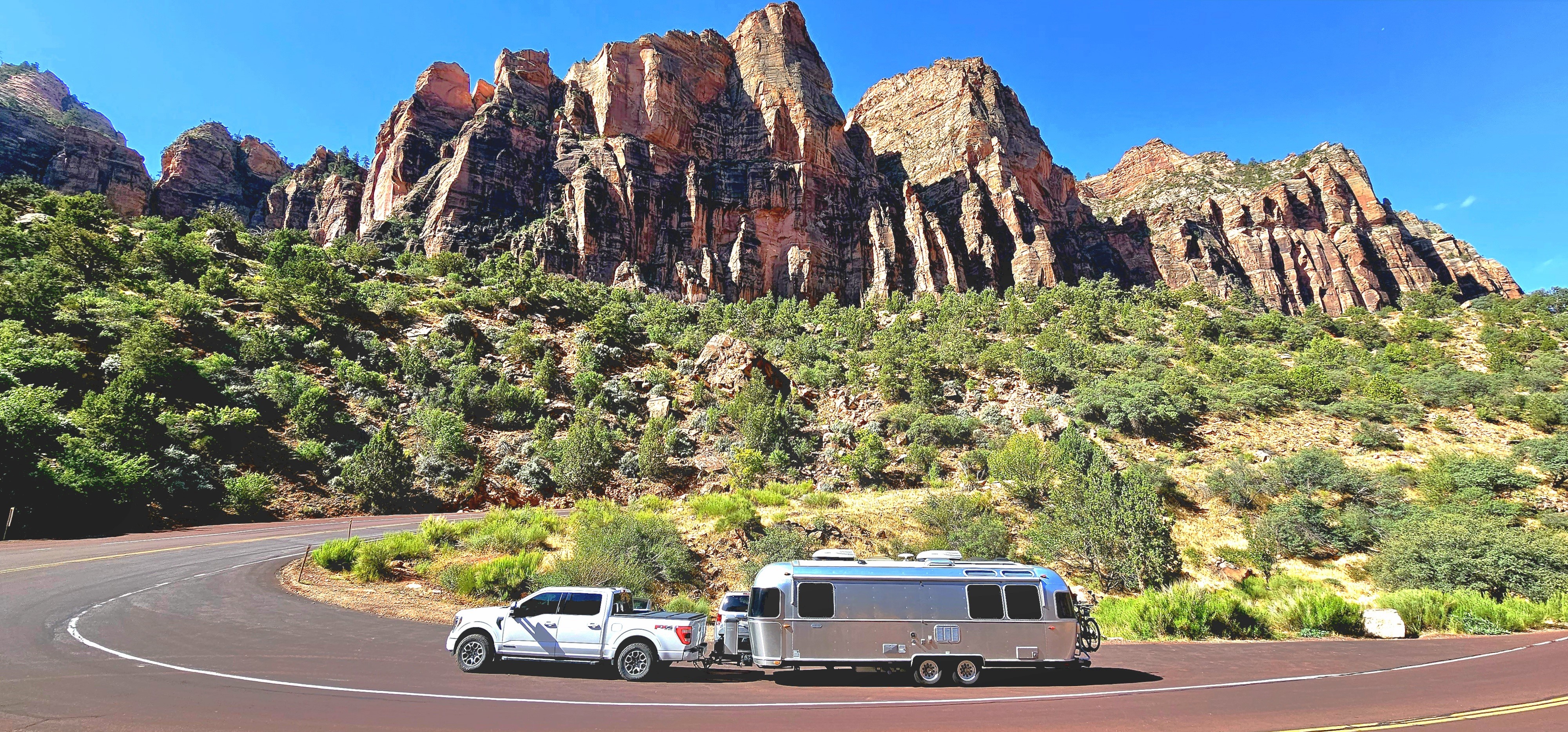
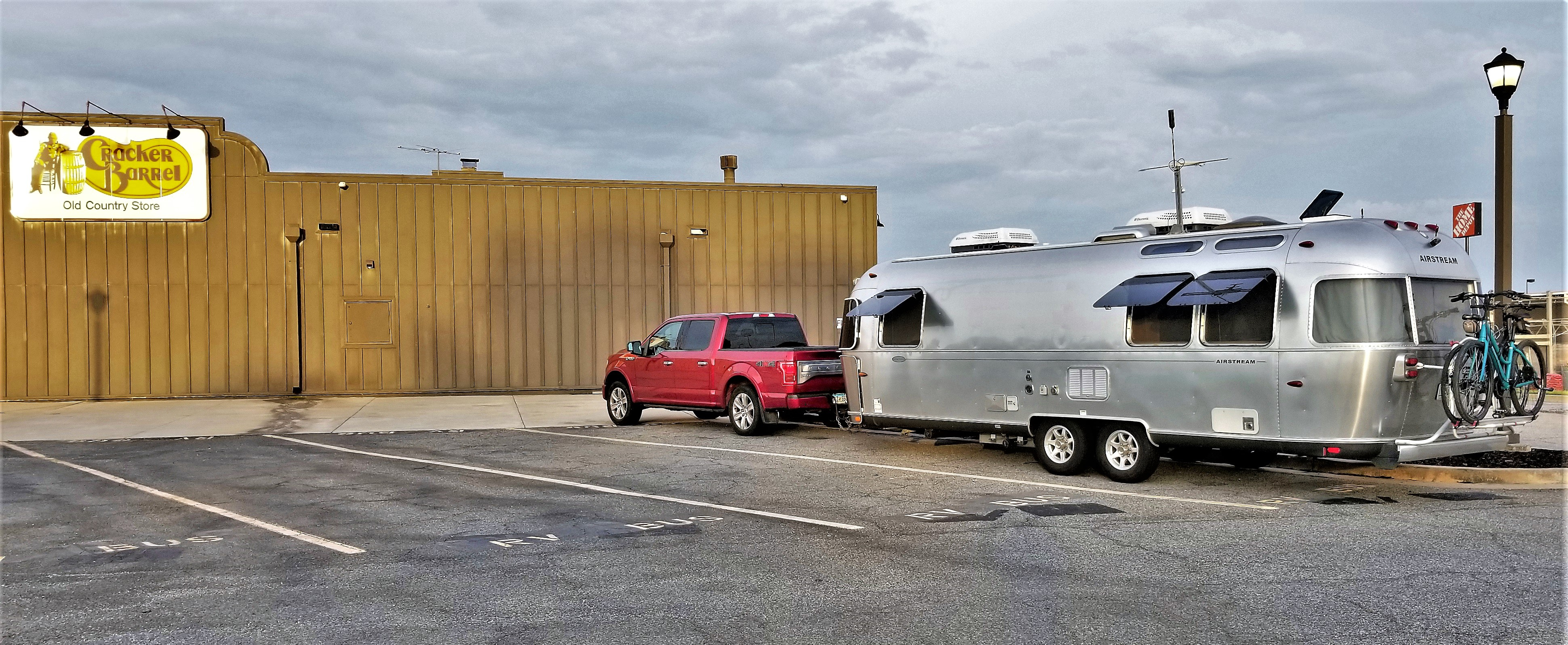
We pulled the Airstream onto Colonial Airstream’s parking lot in Lakewood NJ, on St. Patrick’s Day, ostensibly marking our one-year anniversary Streaming thru America, and my one-year anniversary of blogging with WordPress under the same moniker.

Colonial Airstream

This has been a journey of a lifetime after a lifetime of journeys. It seems that everything I’ve done up until last year’s departure has prepared me for this adventure: as a NYC taxi driver, I honed my driving skills; as a restaurateur, I learned to cook using simple ingredients to create meals with complex flavors; as a camper, I grew up with an appreciation of nature and an affinity for adventure; as a producer, I perfected a perspective for planning and budgeting; as a carpenter, I mastered my mechanical skills; and as a special educator, I learned how to gain acceptance with the many special people we’ve met along the way.

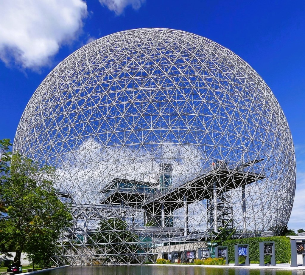
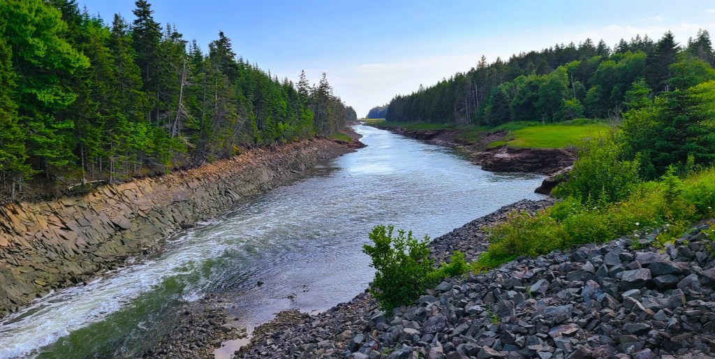
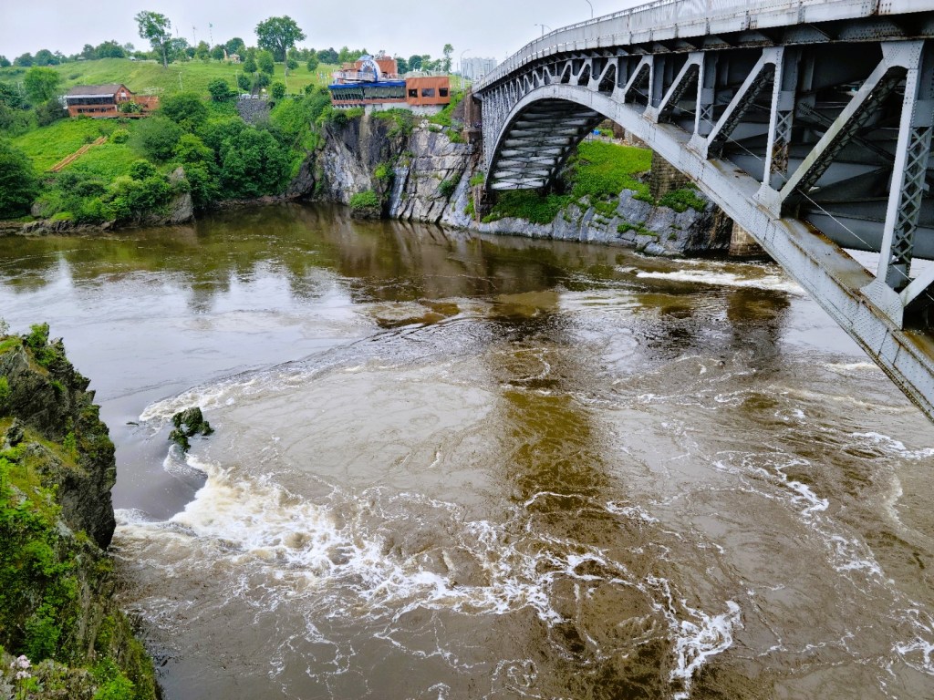
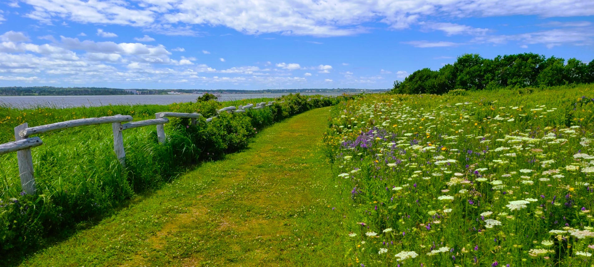
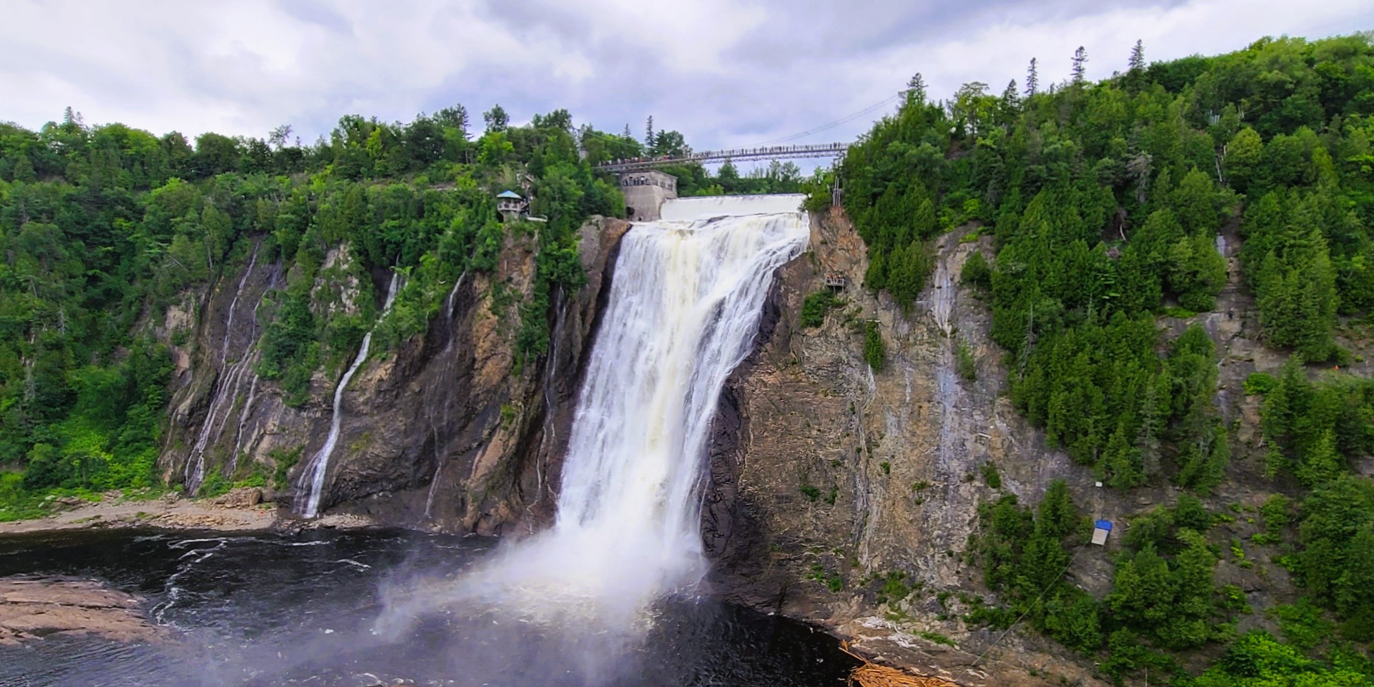
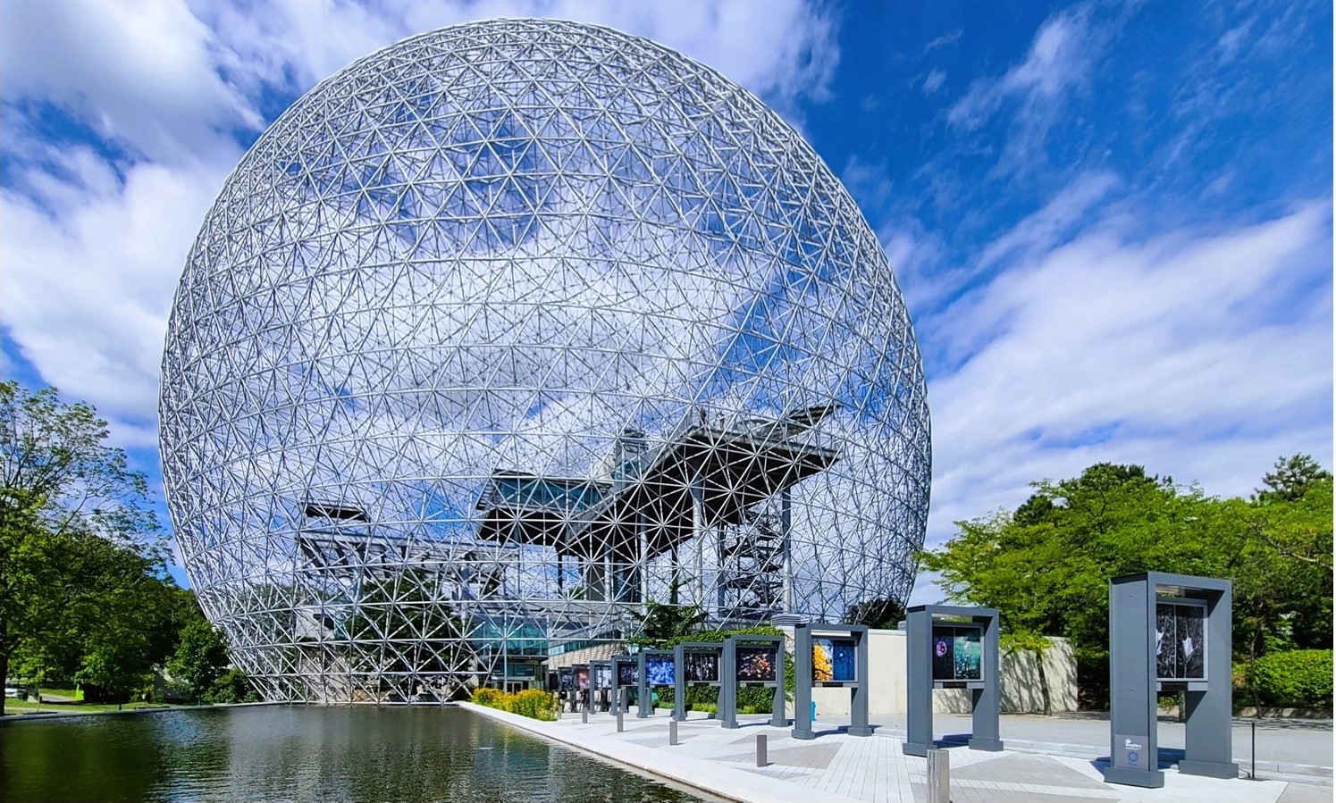
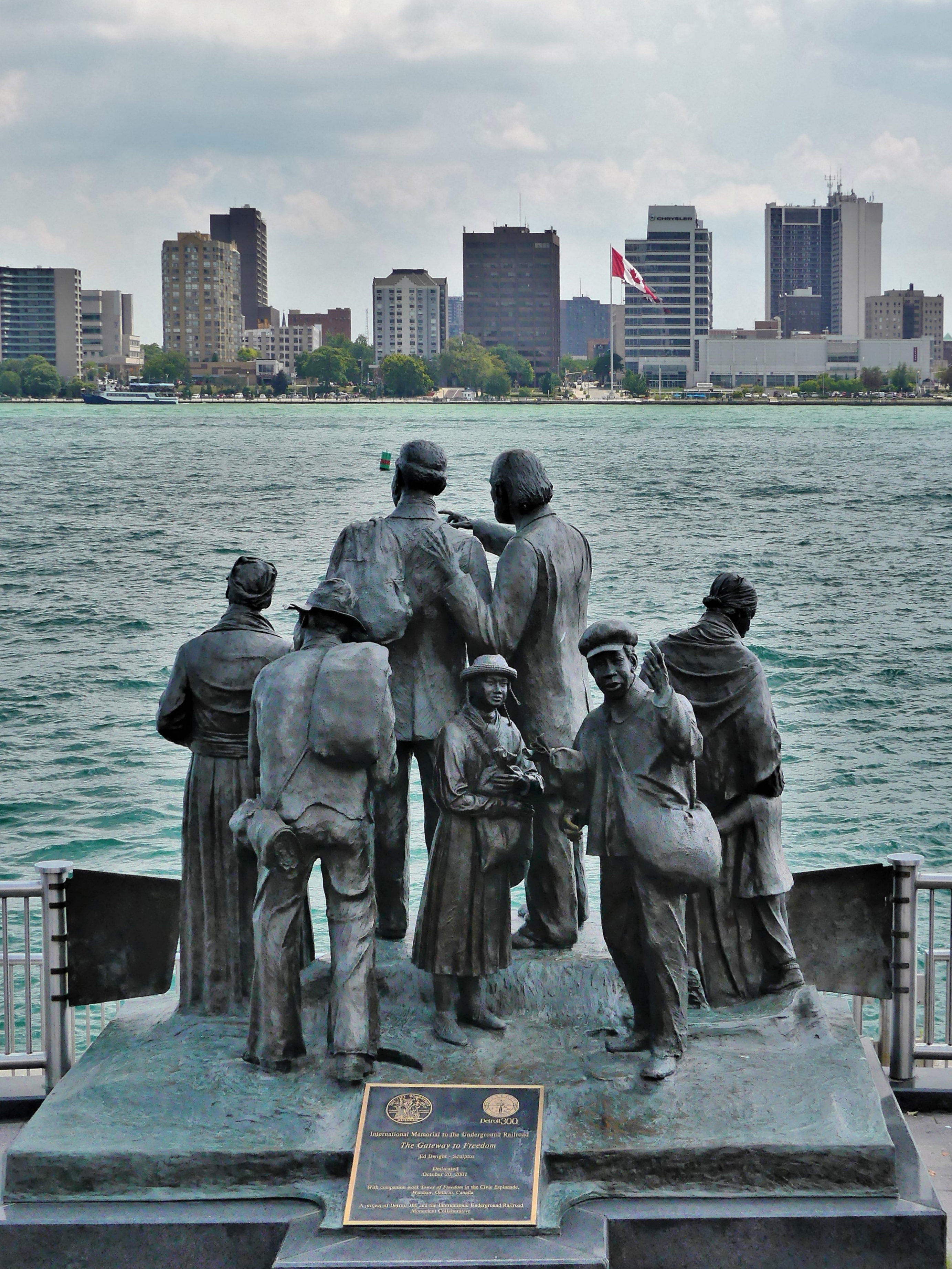
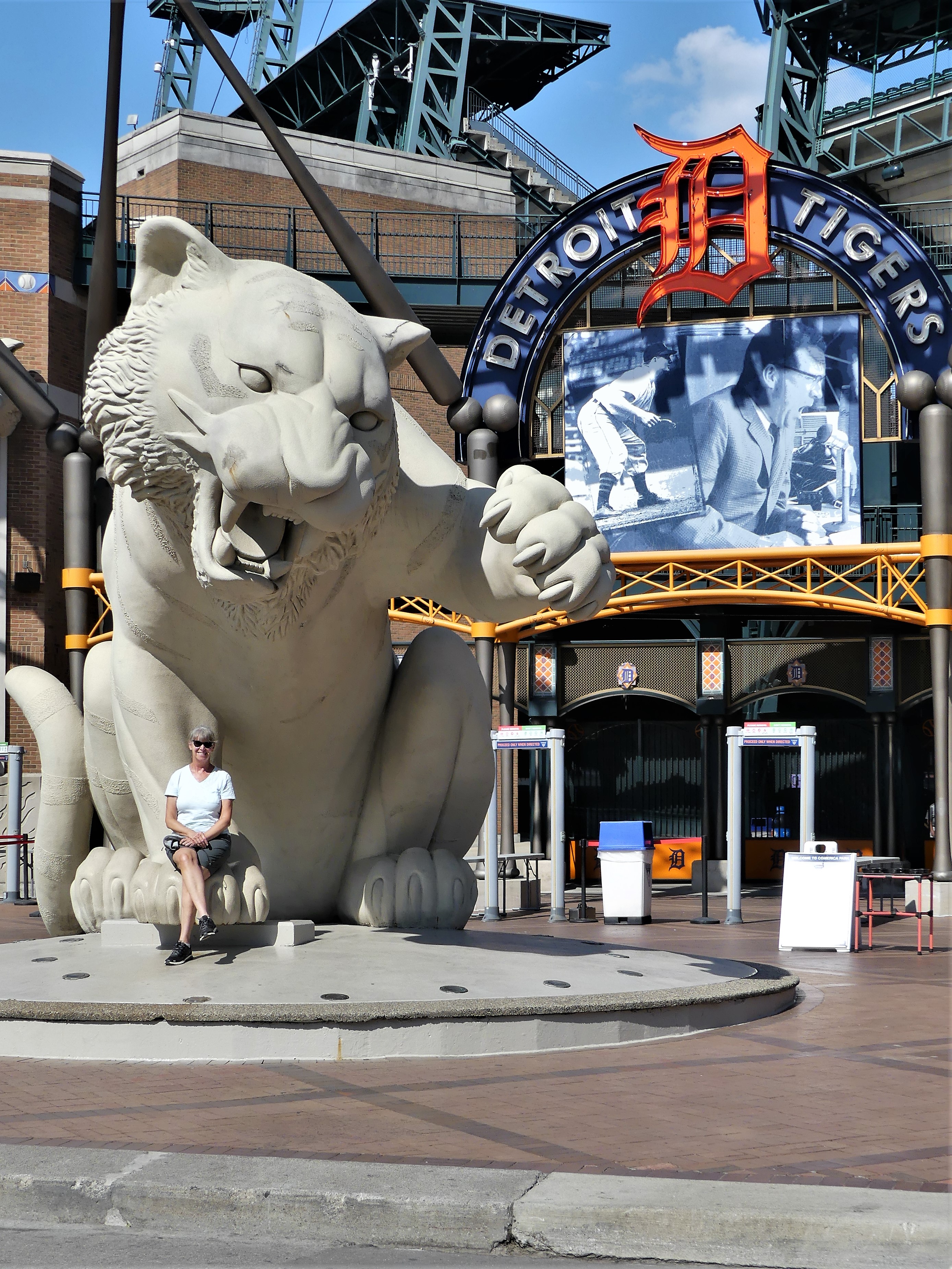
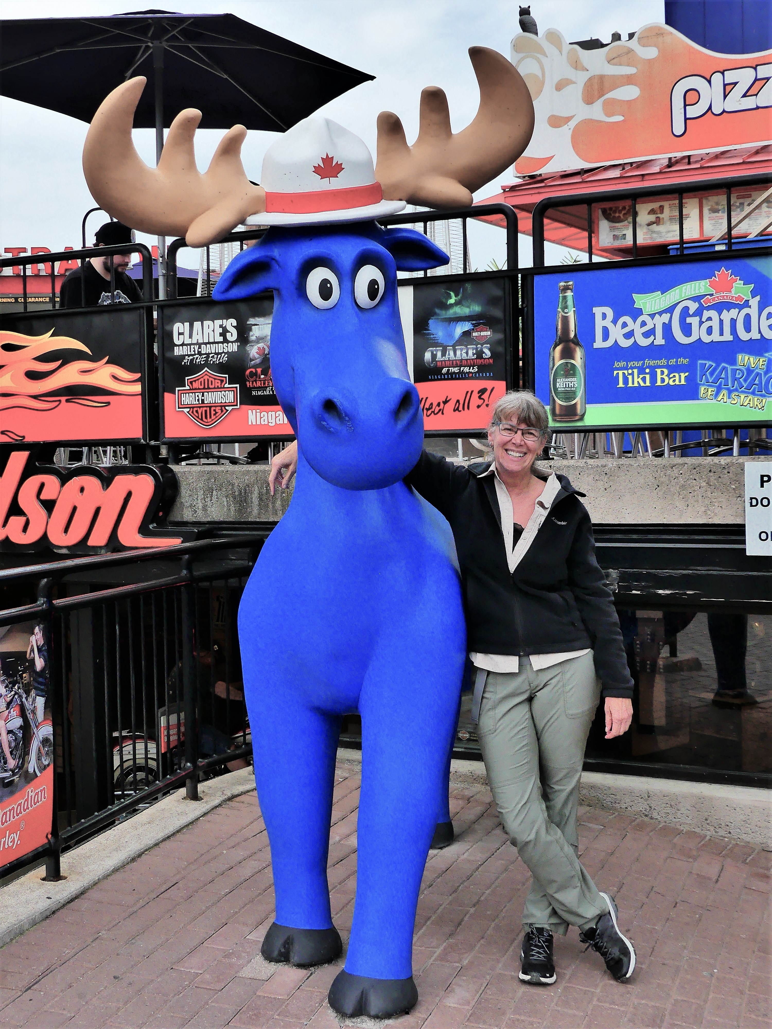
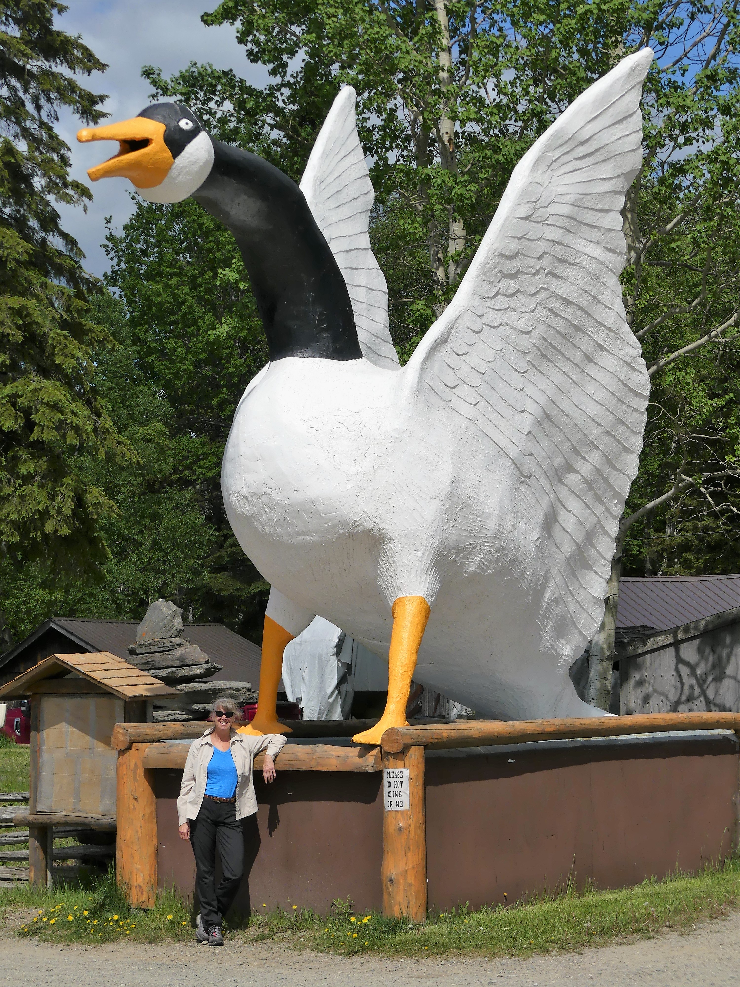
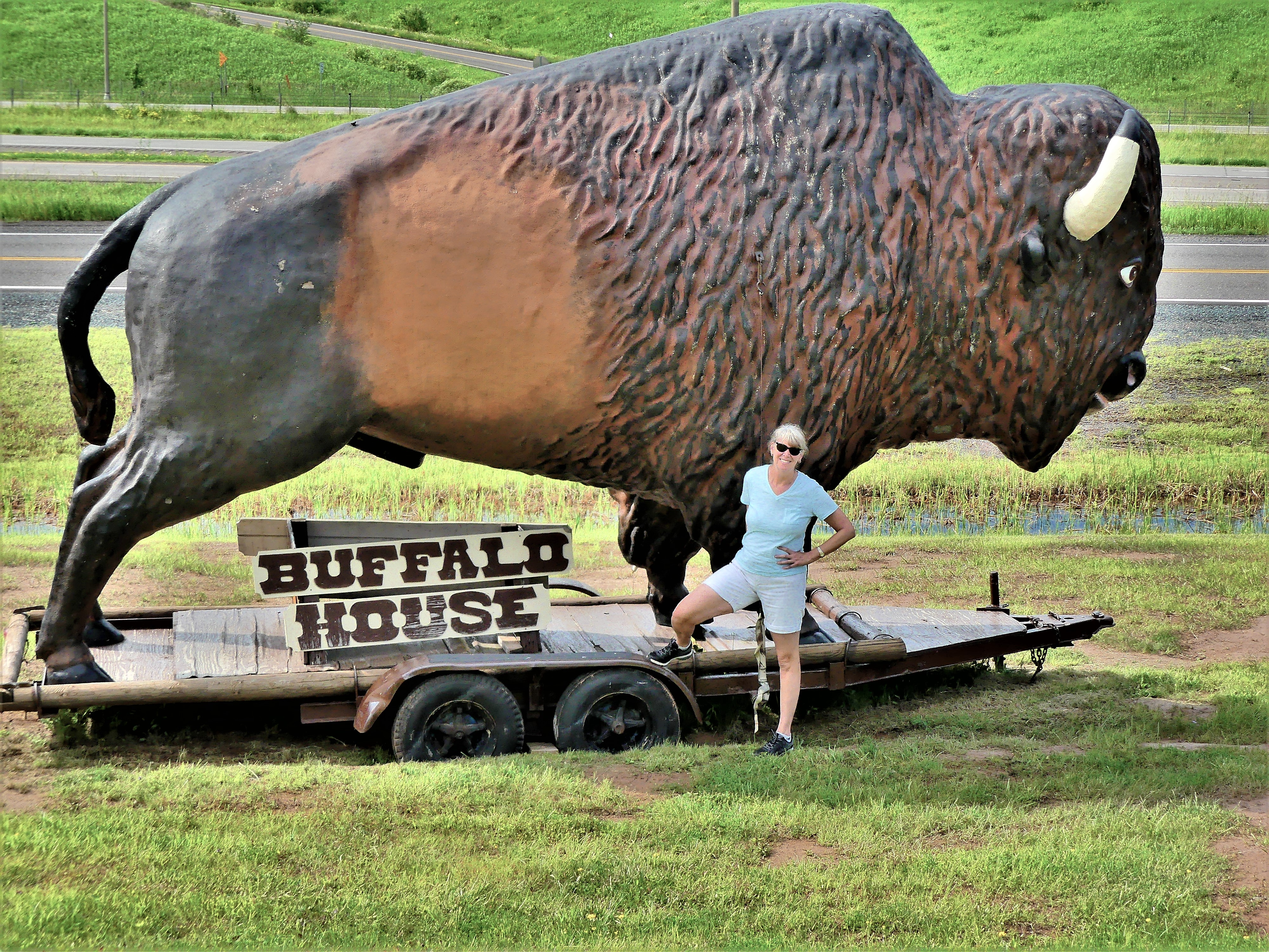
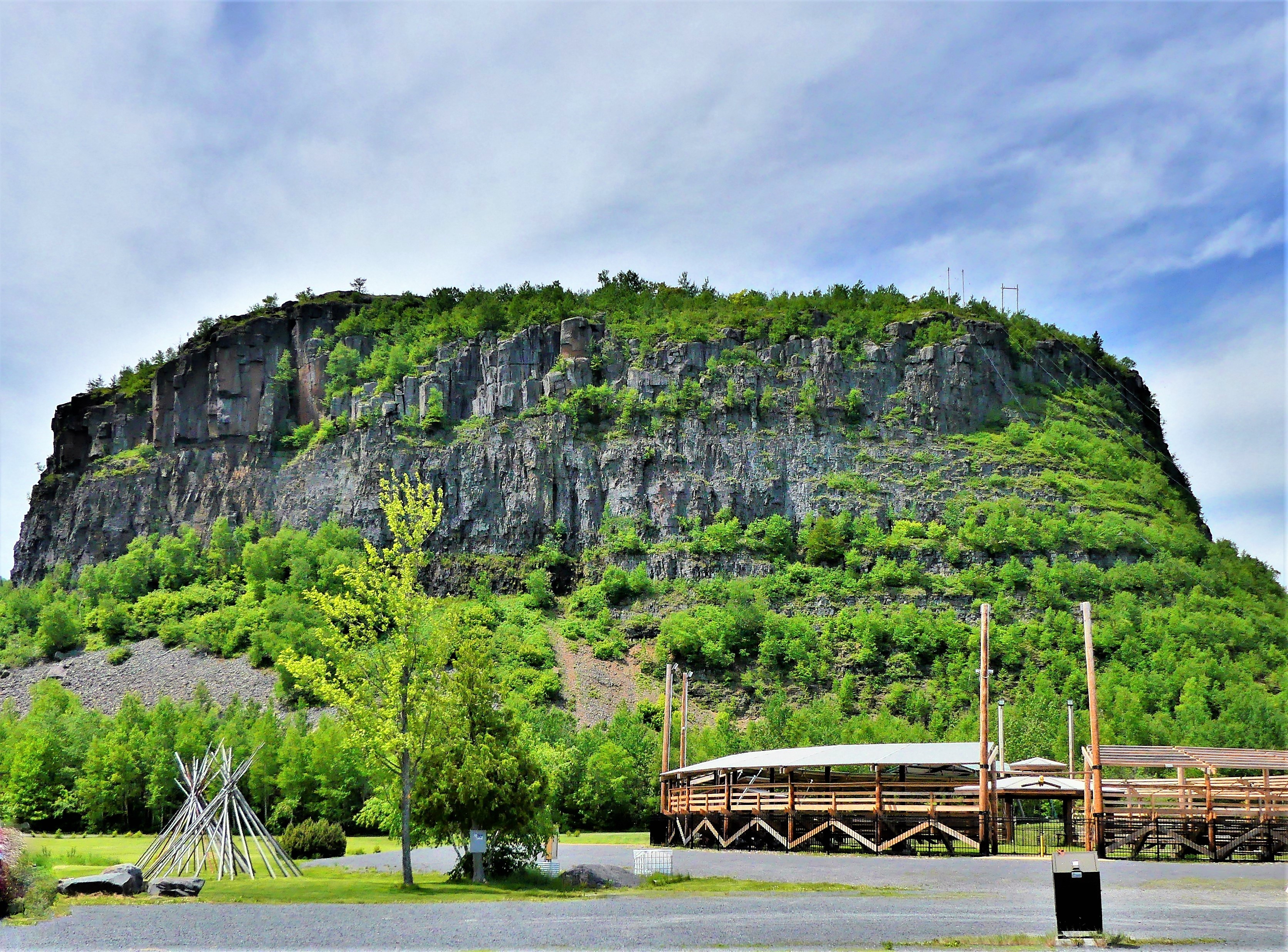
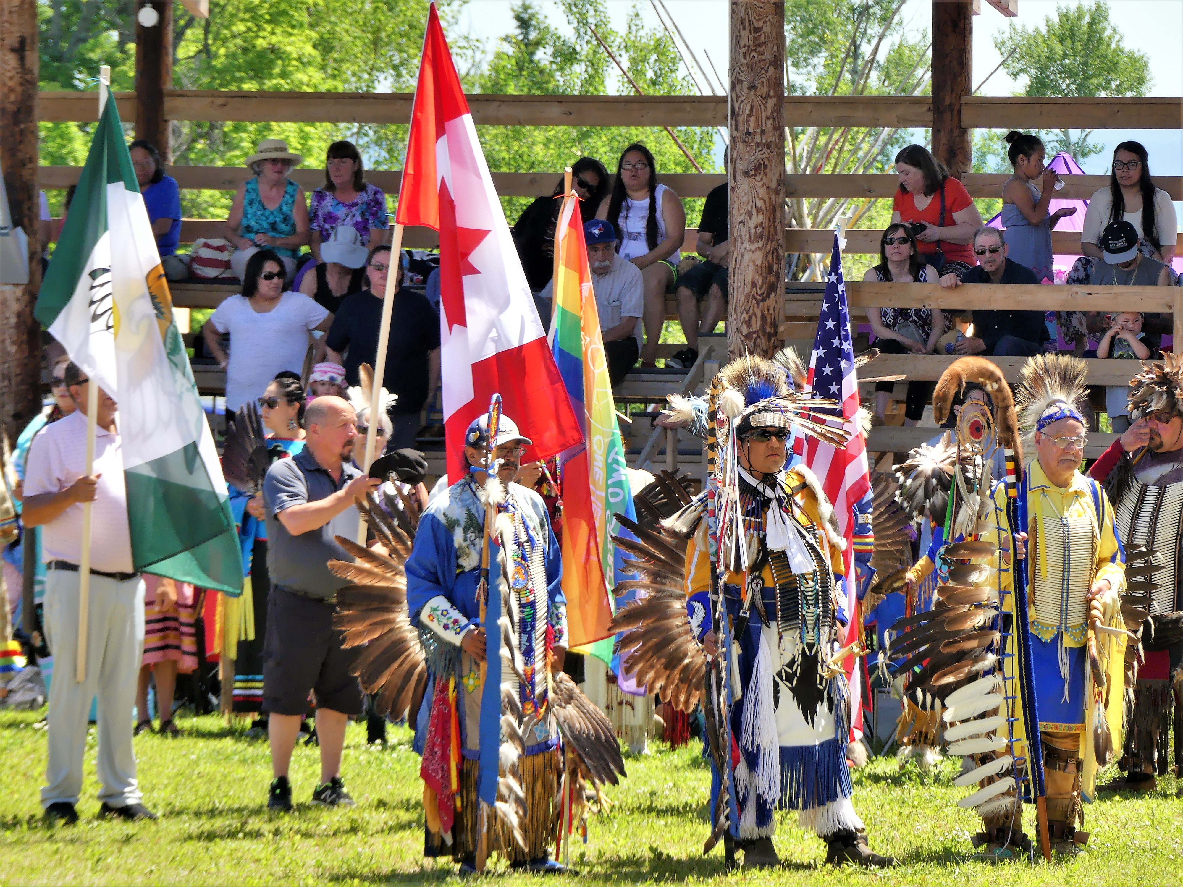
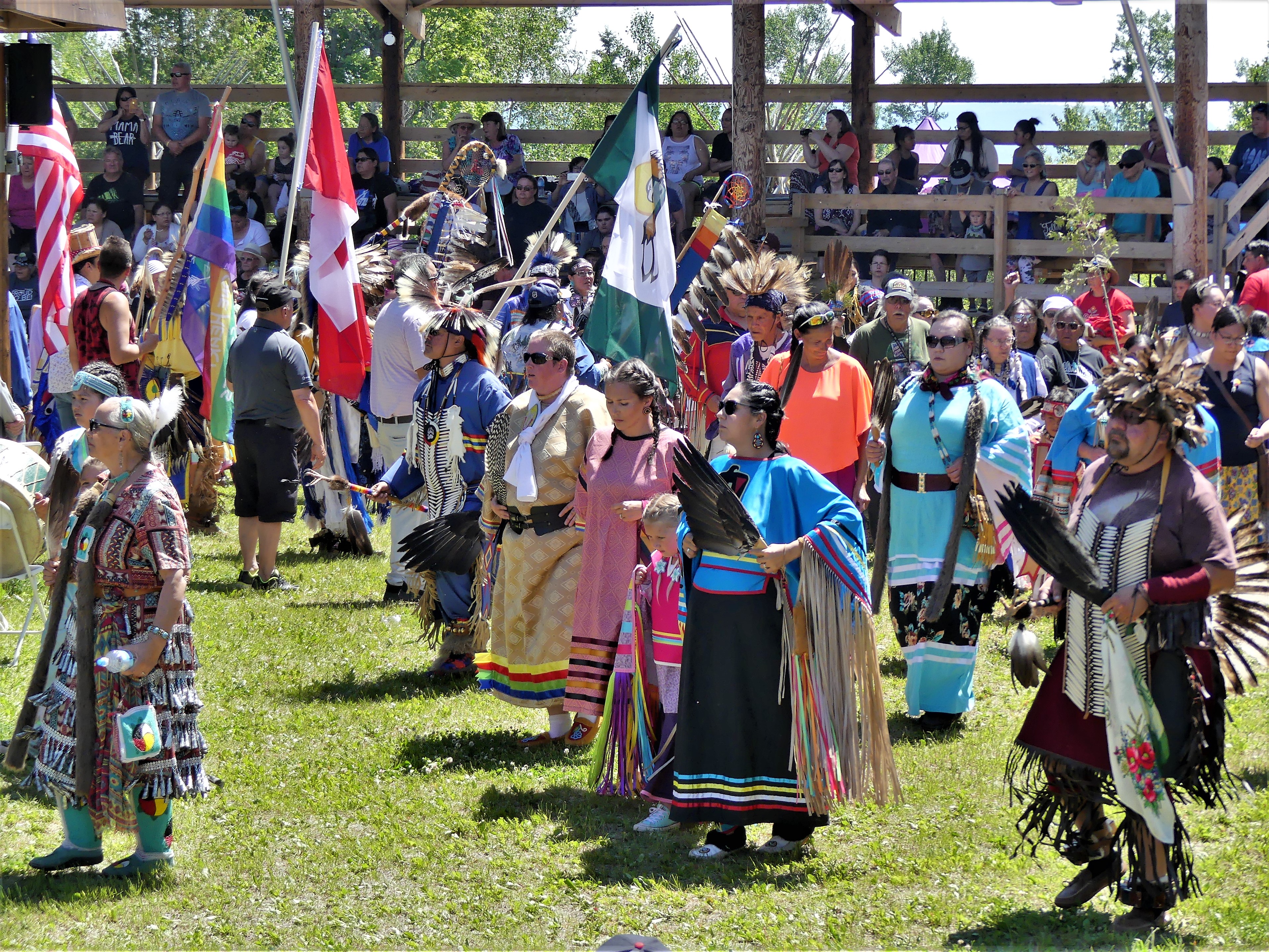
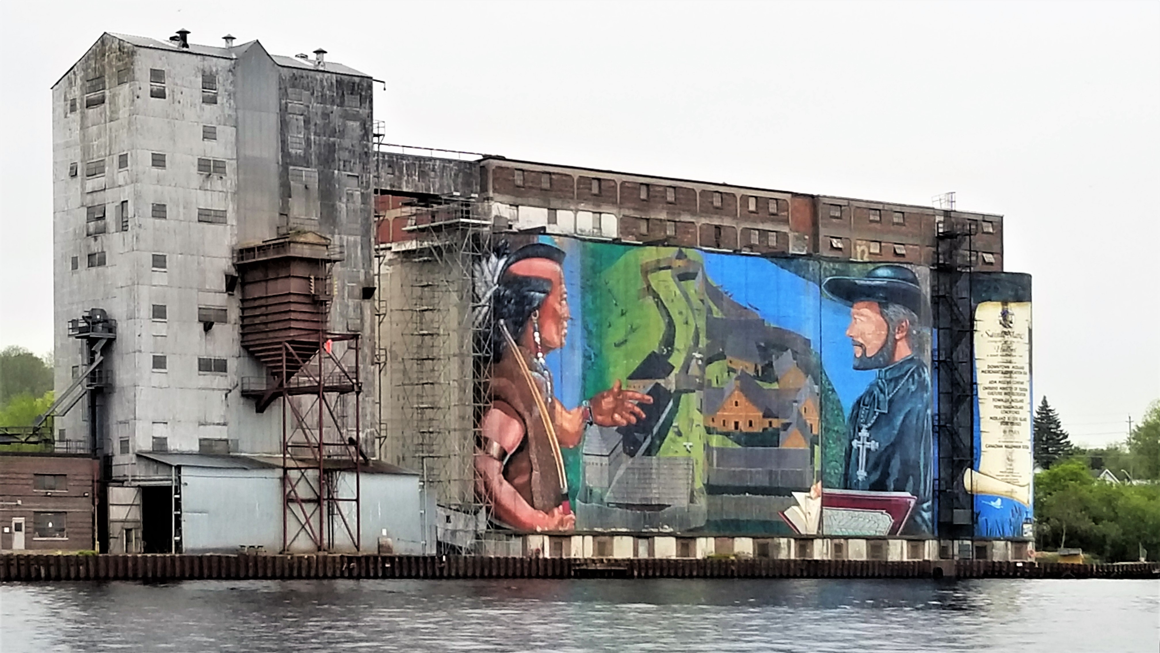
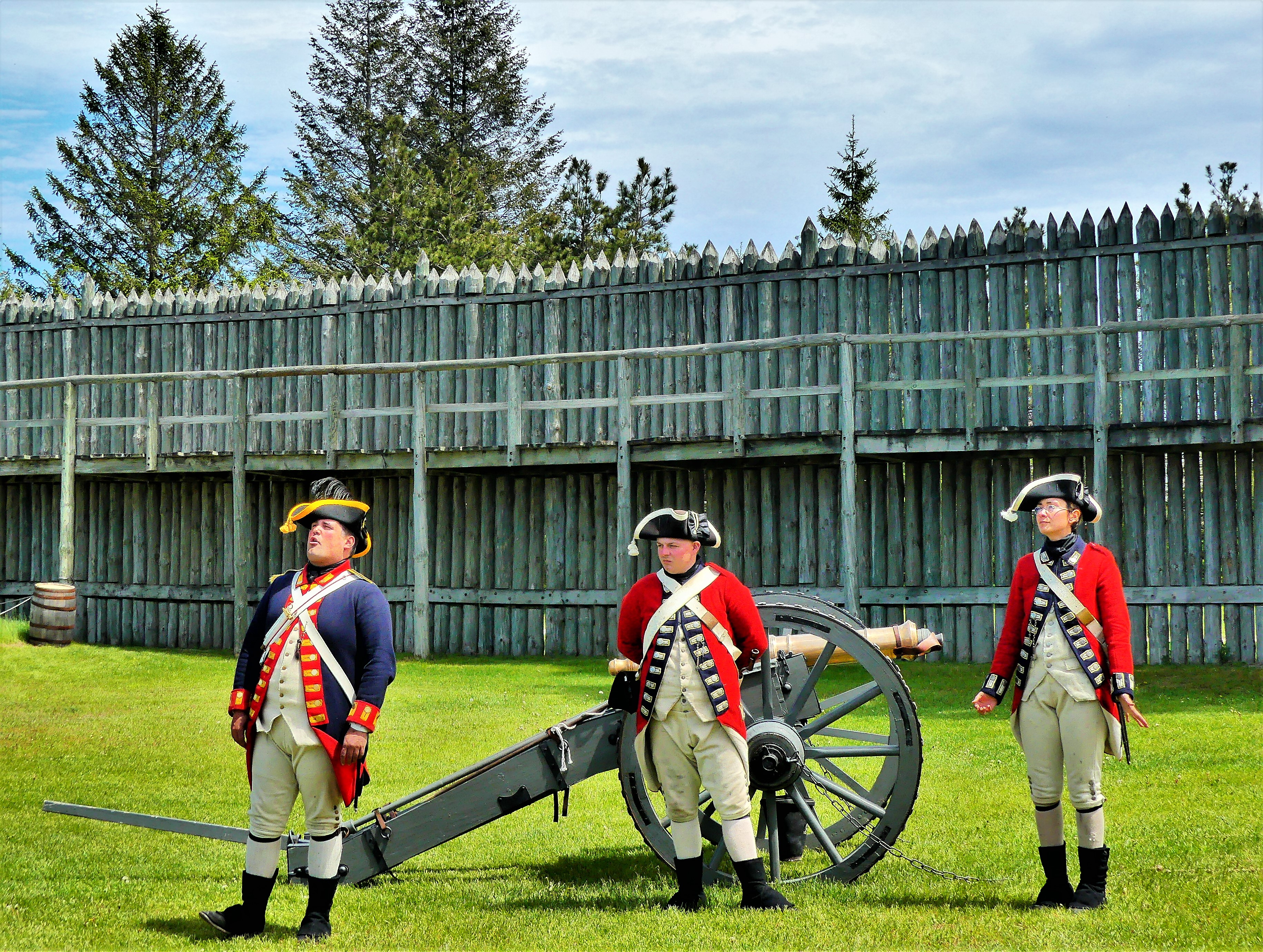
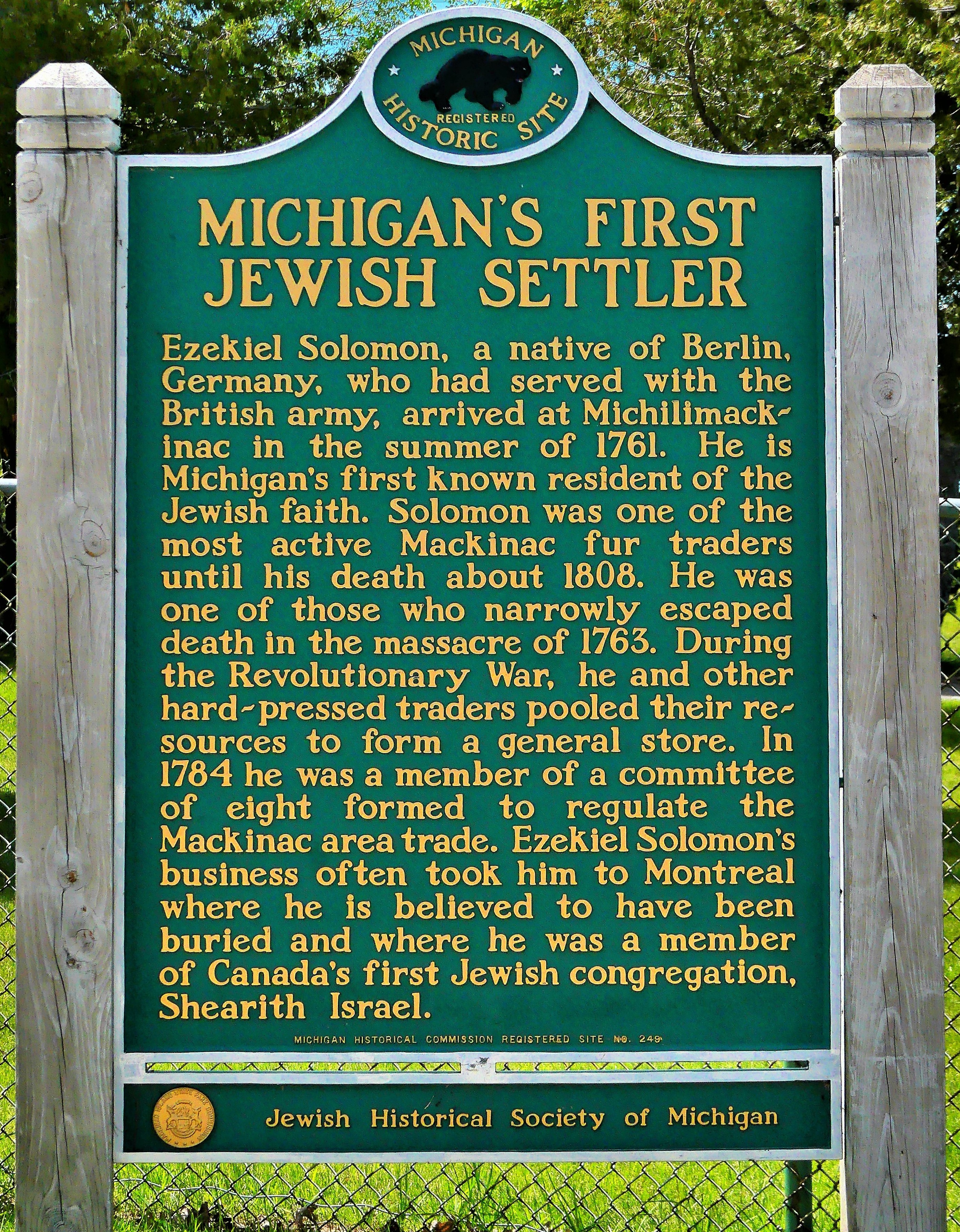
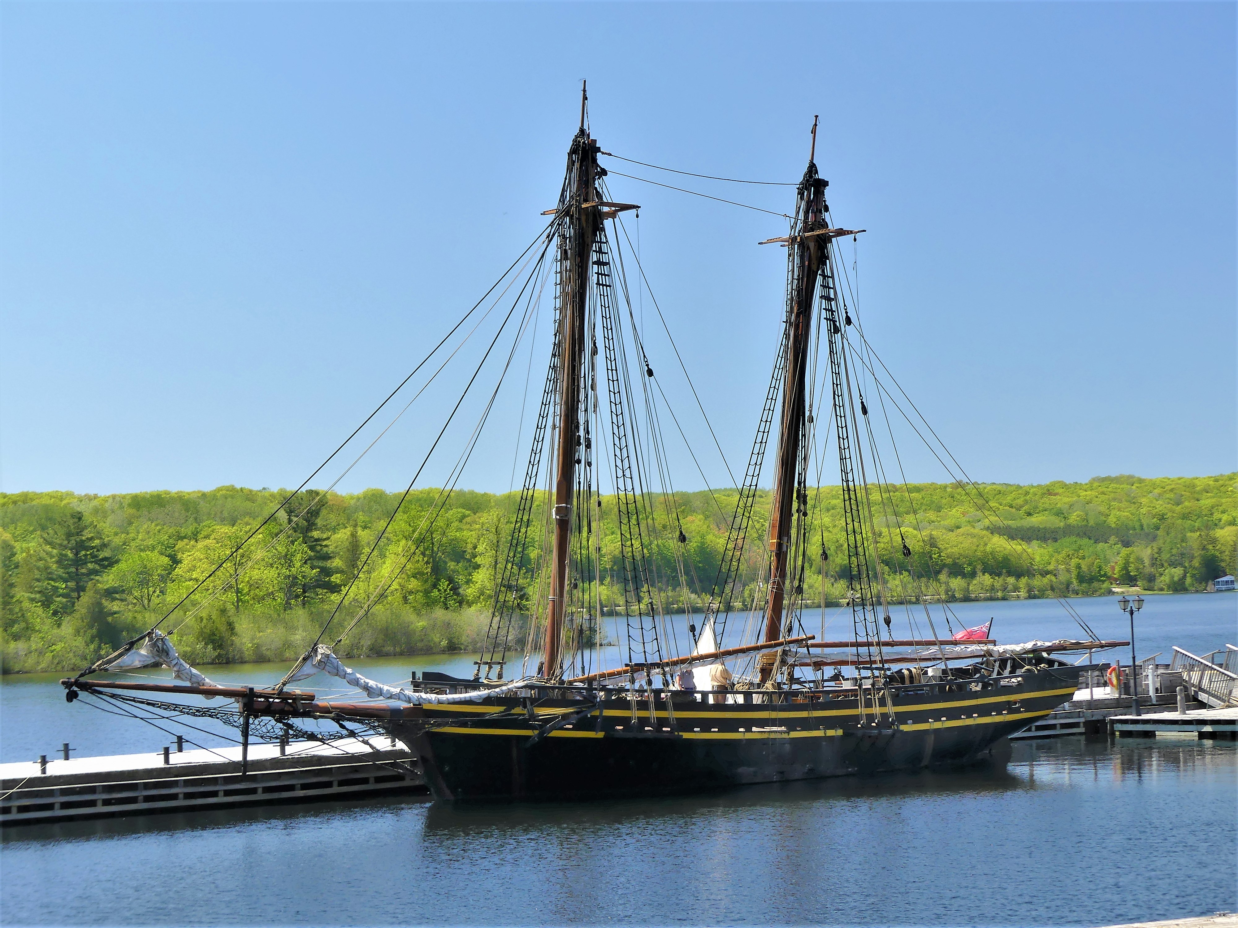
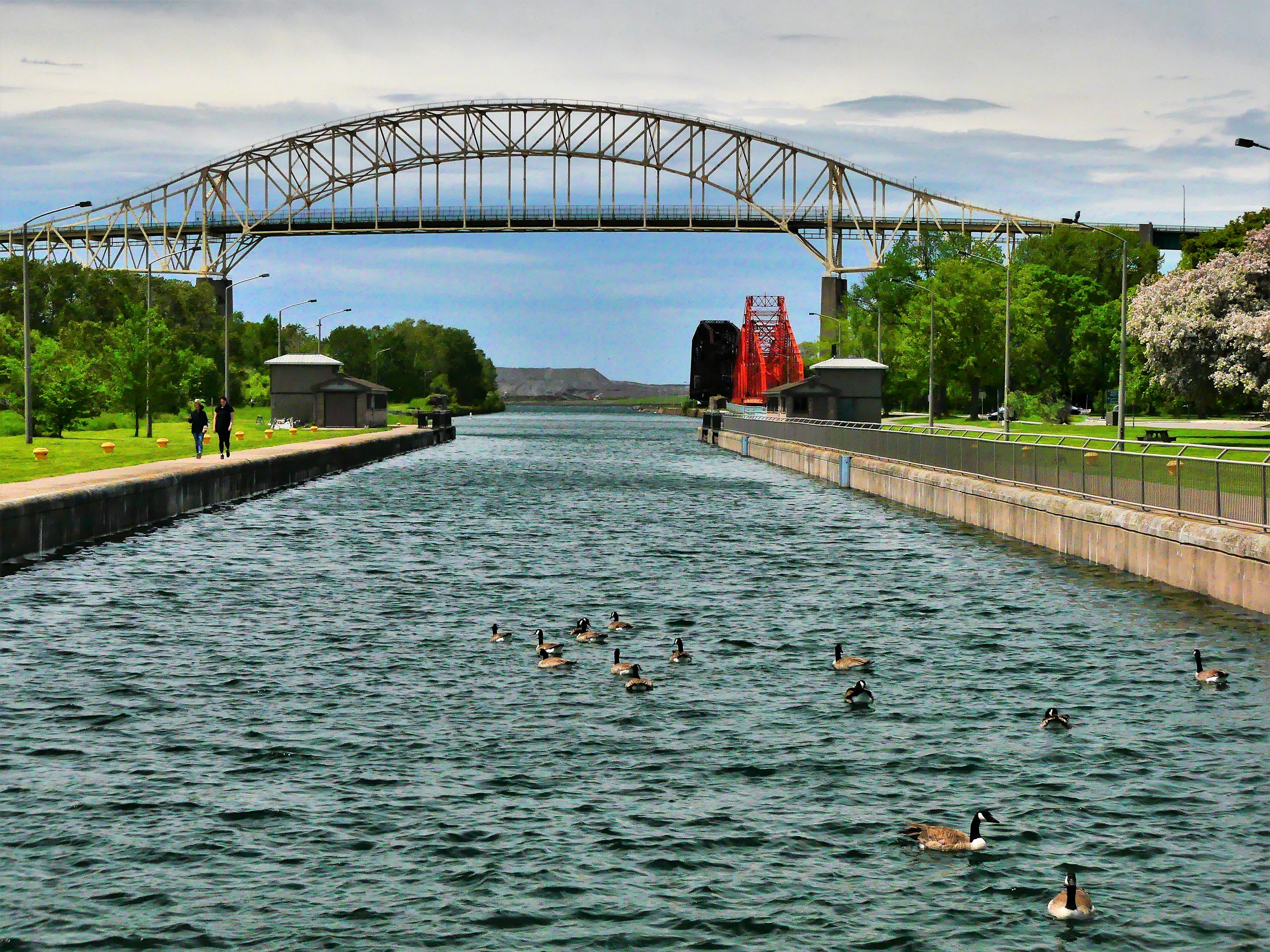
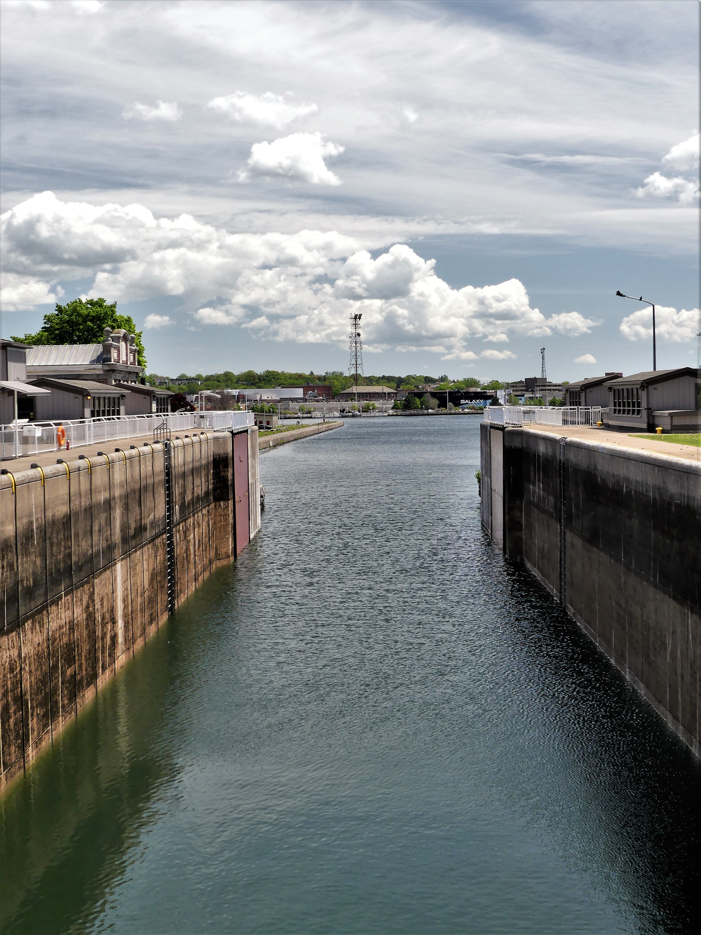
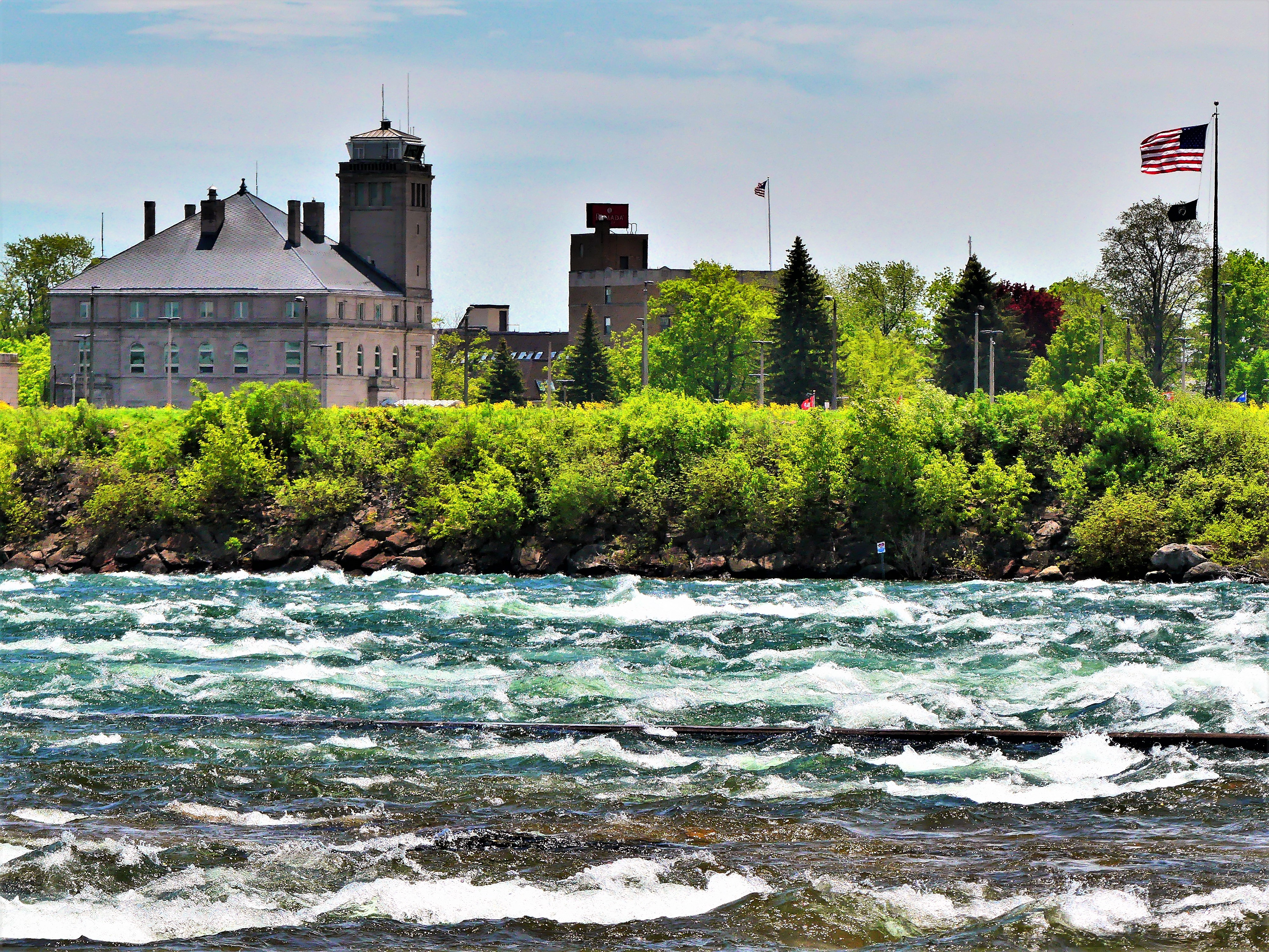
This has also been a trip of numbers. As road warriors, Leah and I have traveled to 127 destinations: covering a total of 44,600 miles (5,500 flying miles) to thirty-six U.S. States; one Mexican State (Quintana Roo); and four Canadian Provinces (Manitoba, Saskatchewan, Alberta, and British Columbia).

Cost-wise, Leah acted as bursar for the trip, and took responsibility for all data entry into a categorized spreadsheet. Using round numbers, our largest expense was campground fees at nearly $13,000. We stayed at a smattering of National Parks (only because gaining online reservations are fiercely contested up to a year in advance), a few State Parks, a handful of Provincial Parks, some County and City Parks, predominantly private RV parks (many Good Sam and KOA affiliates), and an occasional Walmart parking lot when we were transitioning between longer distances. As a rule, we rarely travelled further than a tankful of gas, or the rough equivalent of 400 miles.

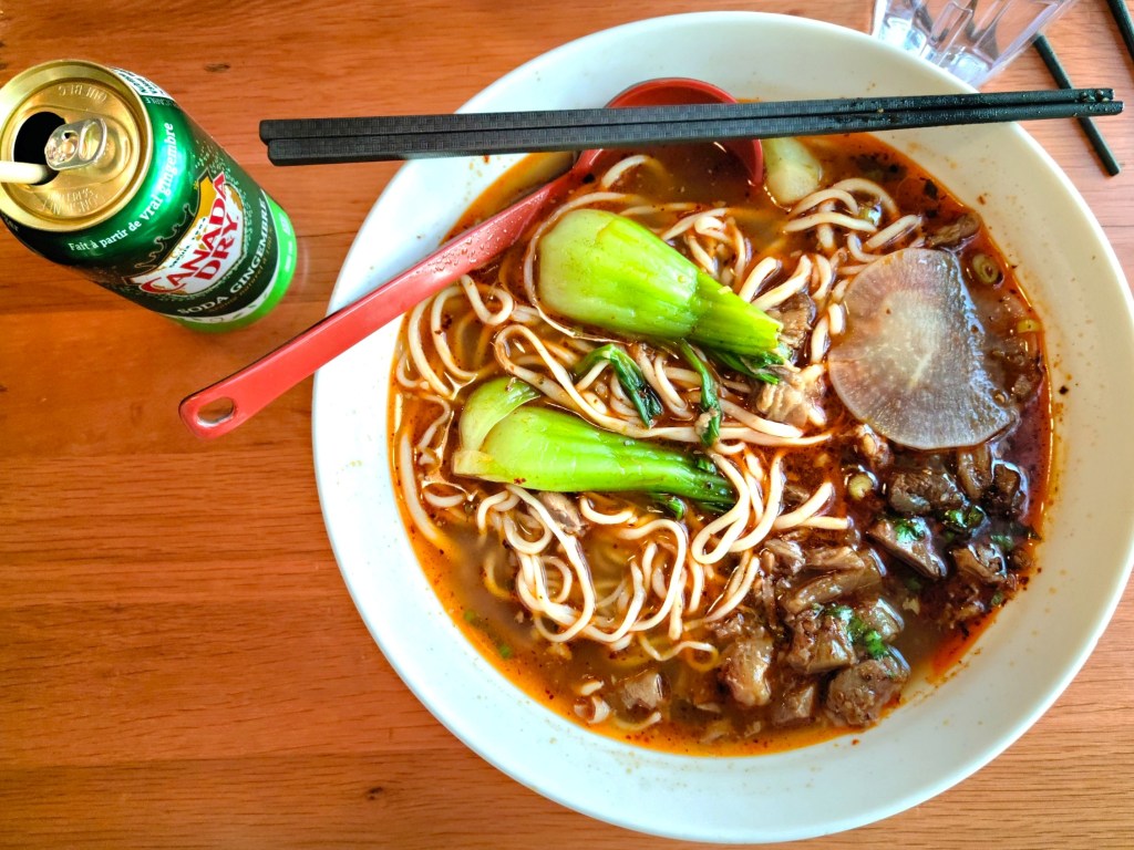
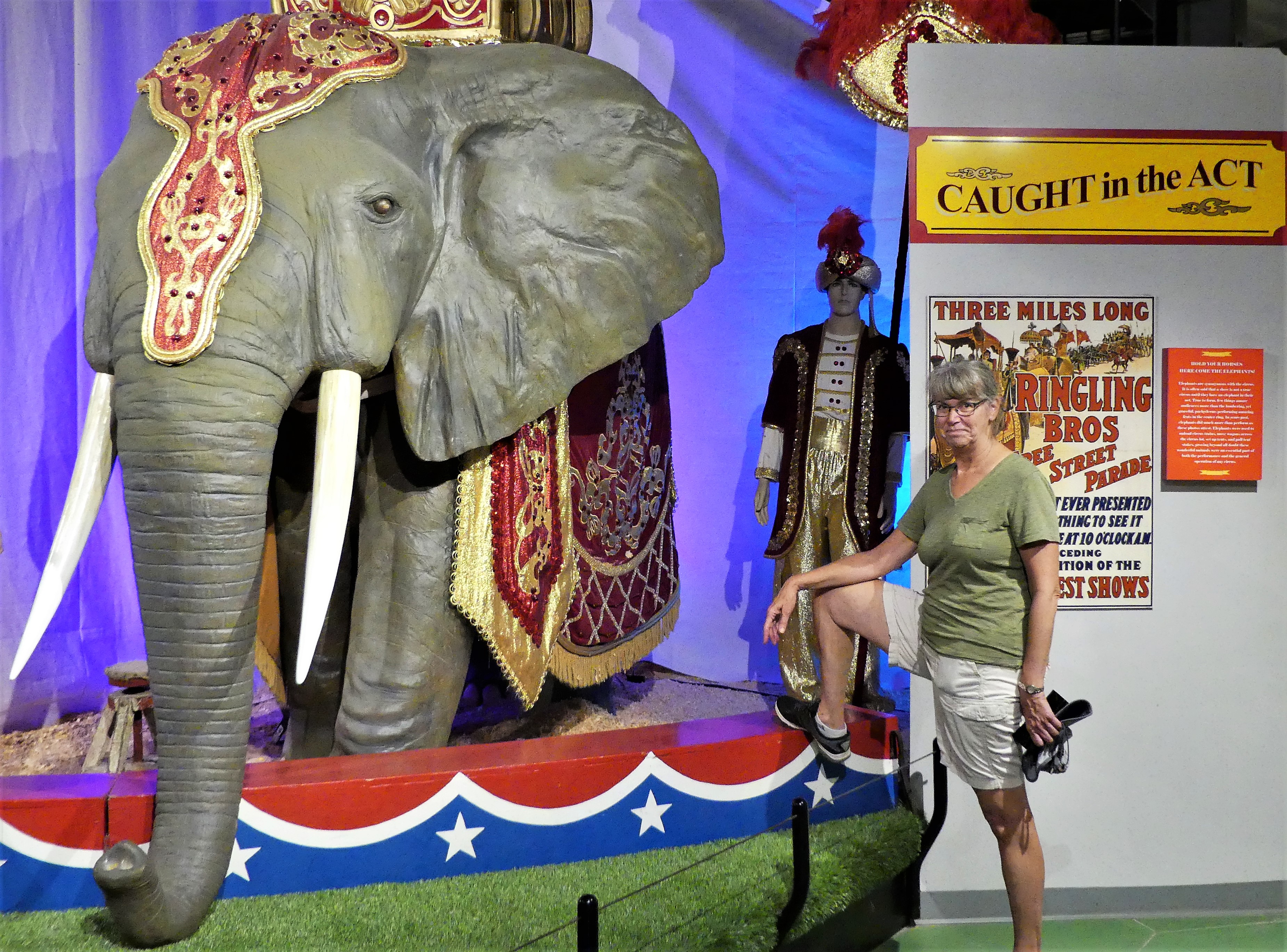
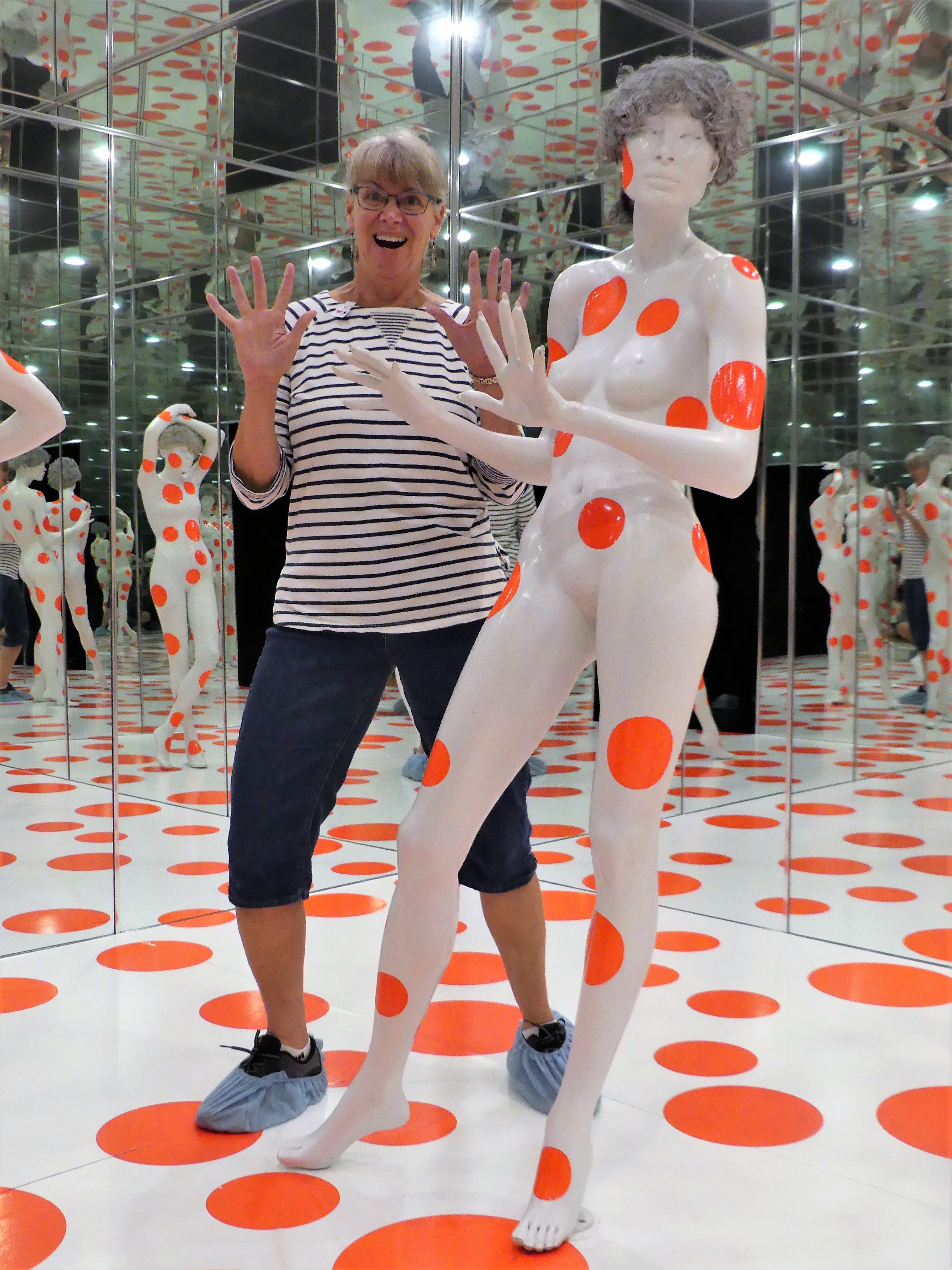
Entertainment was our second leading expense at approximately $10,000, which covered films, concerts, shows, tours, park fees, and ample opportunities for sampling the best food of the area, from fine dining to dive bars.

Next, we spent nearly $8,000 purchasing food and groceries–including paper products, personal hygiene, and liquor–with the lion’s share spent at Walmart and Costco.

And our last largest expense was for gasoline and liquid propane, which ran us close to $8000. We made 115 trips to the pump for 3300 gallons of gas, yielding an average of 11.8 miles per gallon from coast to coast to coast, while towing mileage topped out at 10.1 MPG.

Living aboard the Airstream for a year was also an exercise in living with less. At 240 square feet from stem to stern…

2017-airstream-flying-cloud-27fb-2-e1521351550640.png

and cargo limited to a folded rear seat and 52.8 cu. ft. of storage behind the cab of our Ford F-150 pickup…

2017-ford-f-150-carry-on-seats-folded (4)

we learned to live efficiently, but never uncomfortably.

Leah and I scaled down to a small wardrobe of layering, using a combination of casual sportswear, appropriate outerwear and a wide variety of outdoor footwear to address most weather conditions.

The galley held two pots, two pans, two mix bowls, and Corel for four; a drawer of utensils and a drawer full of cooking and kitchen gadgets; a traditional assortment of spices and herbs; one presspot (mine), one two-cup percolator (Leah’s) and two coffee mugs; a tiny toaster, a hand mixer, a built-in microwave, a compact vacuum, and a VitaMix–my biggest indulgence for emergency frozen margaritas.

Electronics included: two mounted LED TVs, two tablets, one laptop, a color compact HP printer, a Kindle, a pair of UE Booms, Jaybird wireless earbuds, a Lumix DMZ-FZ300 for photography, and a tangle of cables and charging accessories.

The truck bed was home to a couple of stadium chairs, a CLAM screen enclosure, a 2000-Watt Honda generator, a hefty tool chest, and a portable Weber grill.

Our bicycles clung to the backside of the Airstream, tied to a Fiamma rack.

bikes.jpg

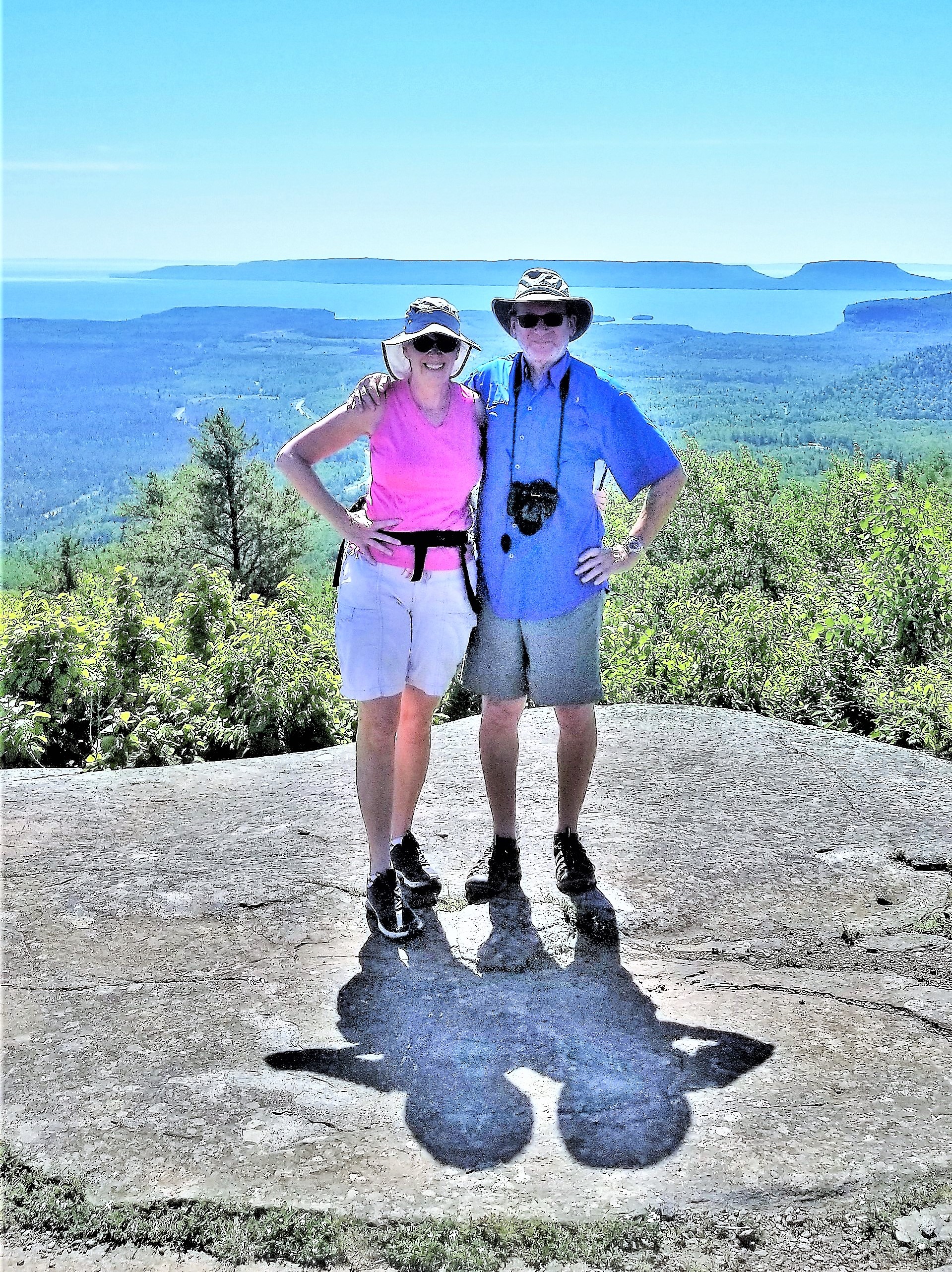
Getting along for 365 days was our biggest experiment, and a wild card for this trip’s success. While there was no denying our compatibility, we would often joke if we would still be smiling and talking to each other by day 365.

Our roles were defined early on, seemingly divided along gender lines: I did the routing, navigation and driving, the setups and breakdowns at RV sites, and all the general maintenance; while Leah acted as cleaning commando (inside and out) and laundry lieutenant. Invariably, Leah prepared a simple breakfast and packed a light lunch, while I played chef de cuisine for dinner.

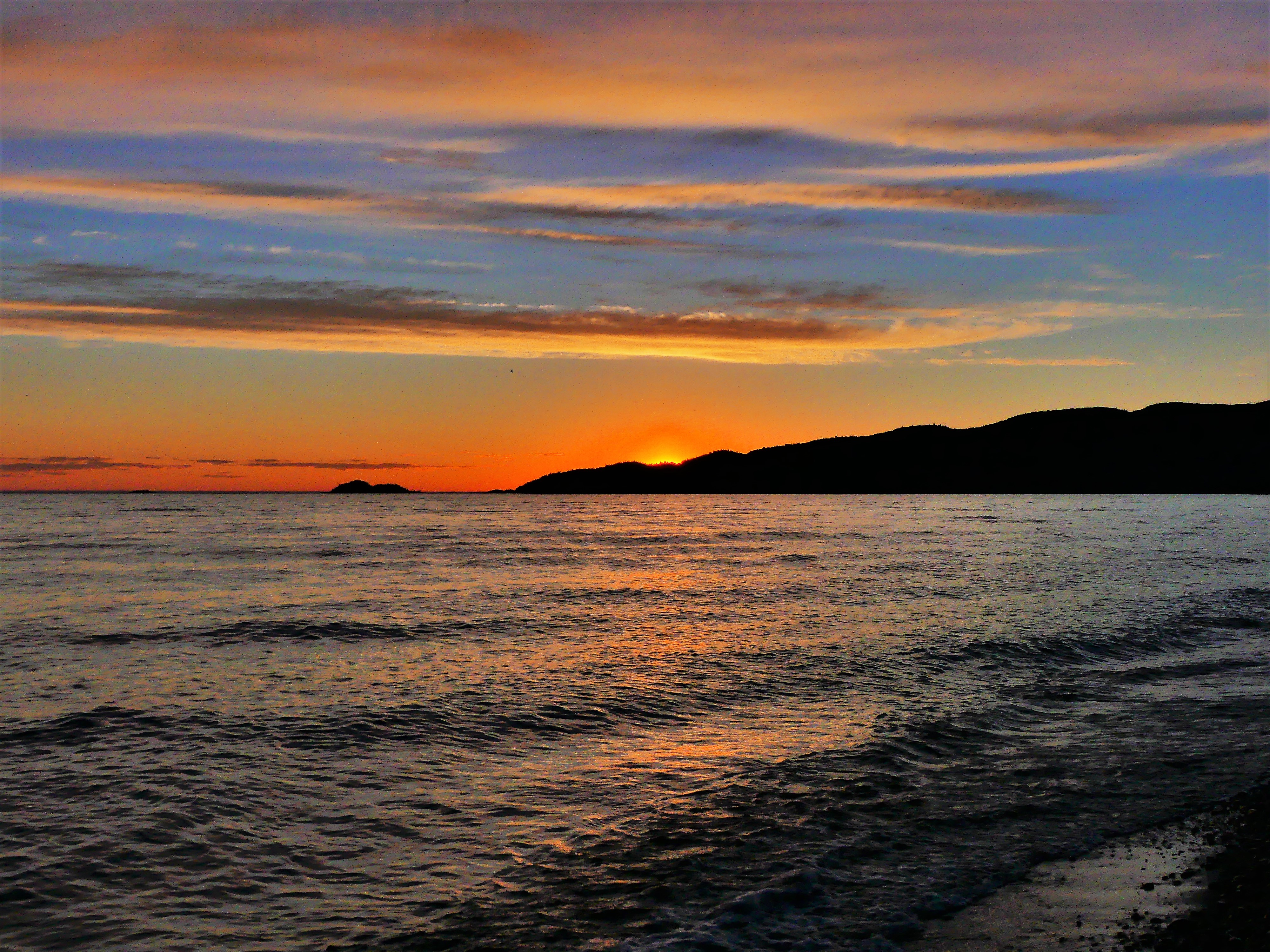
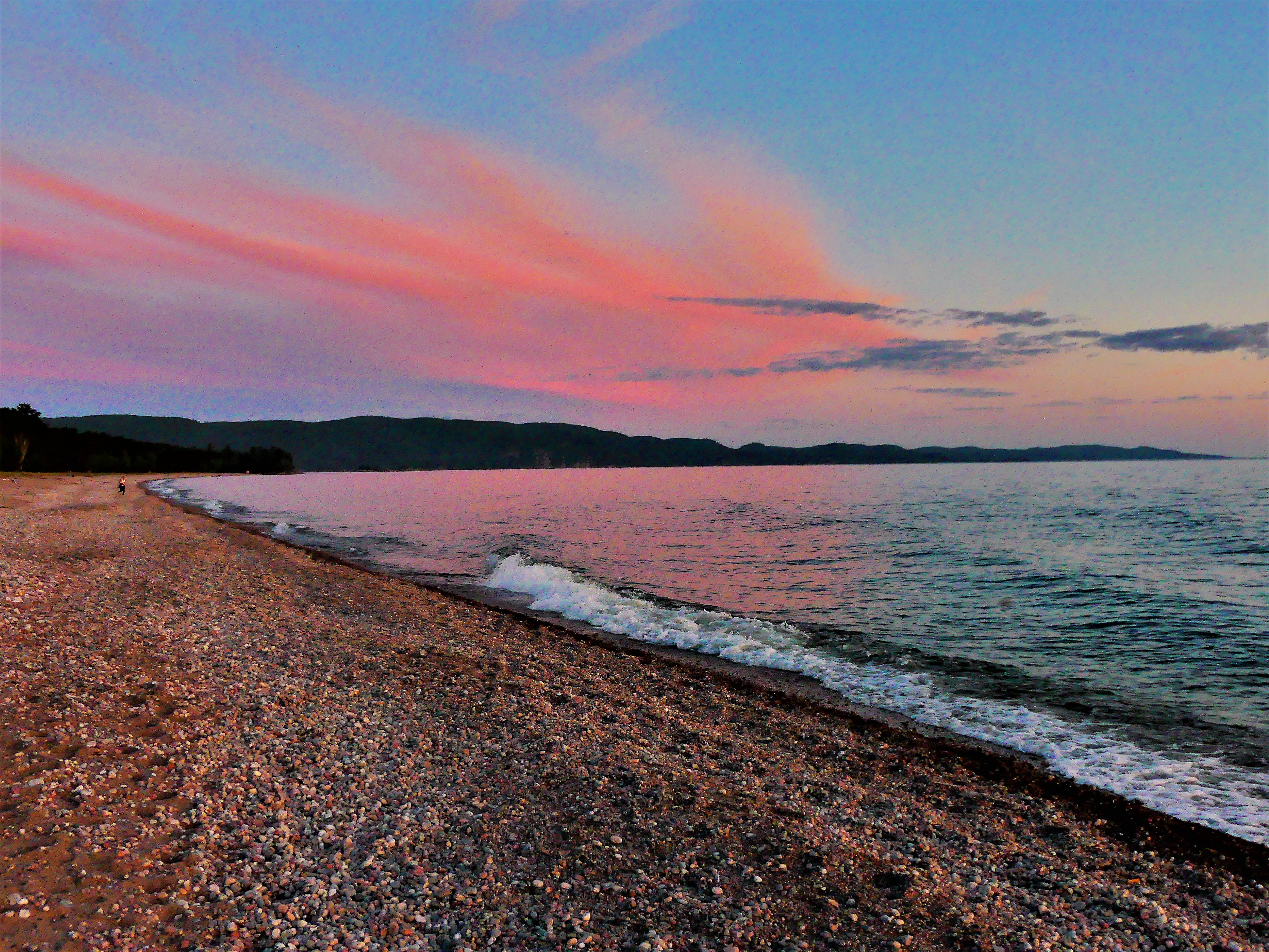
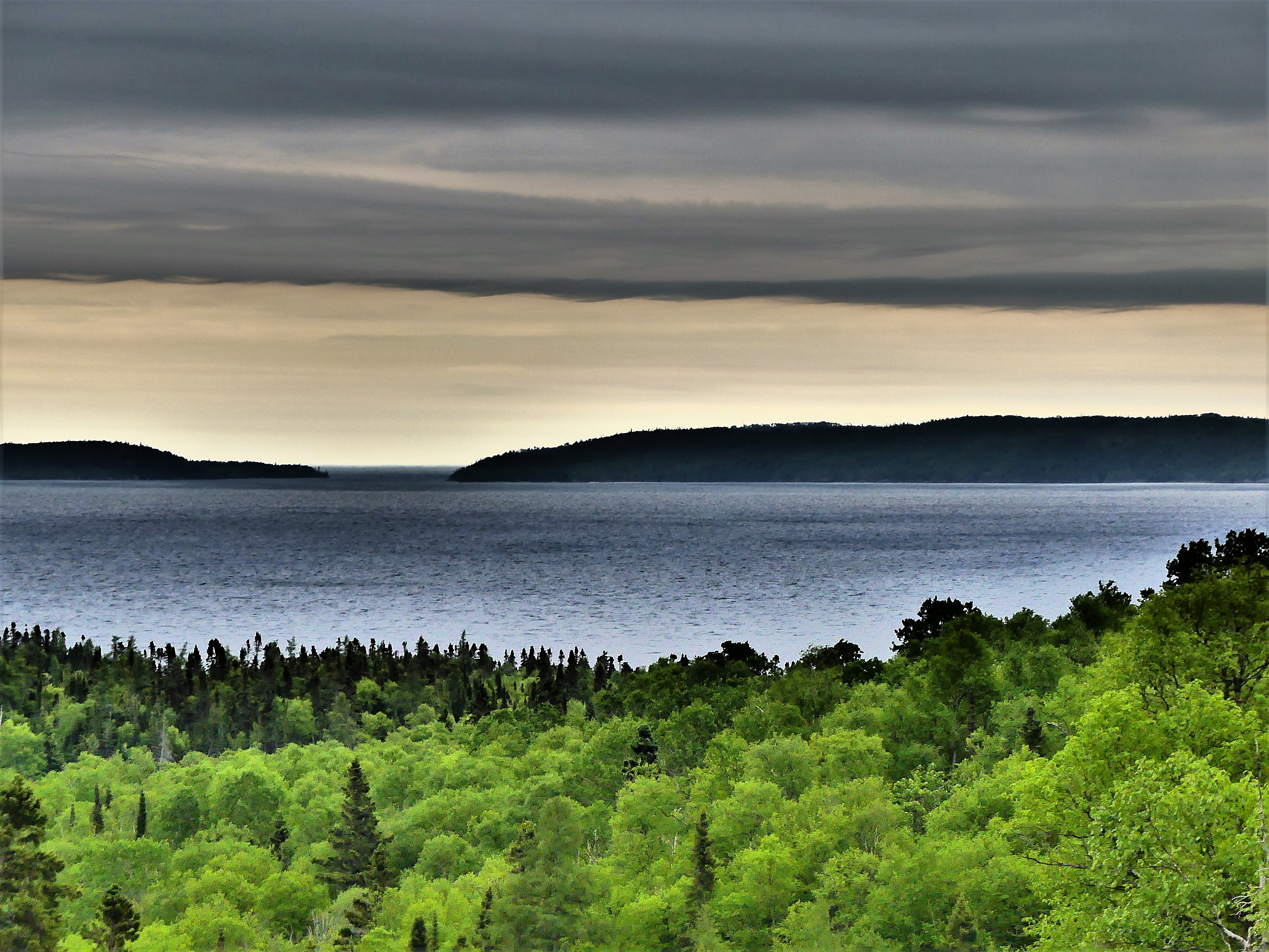
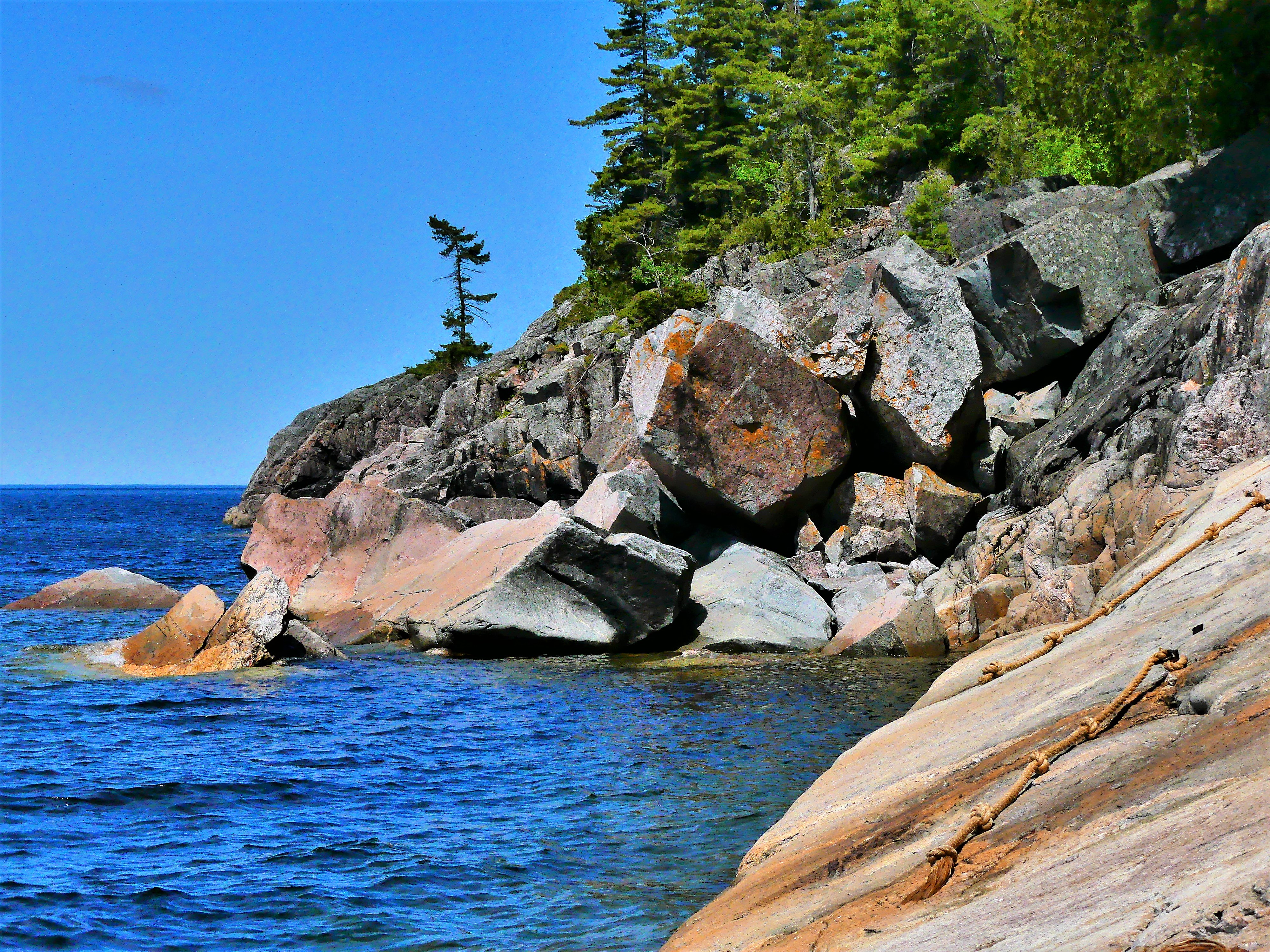
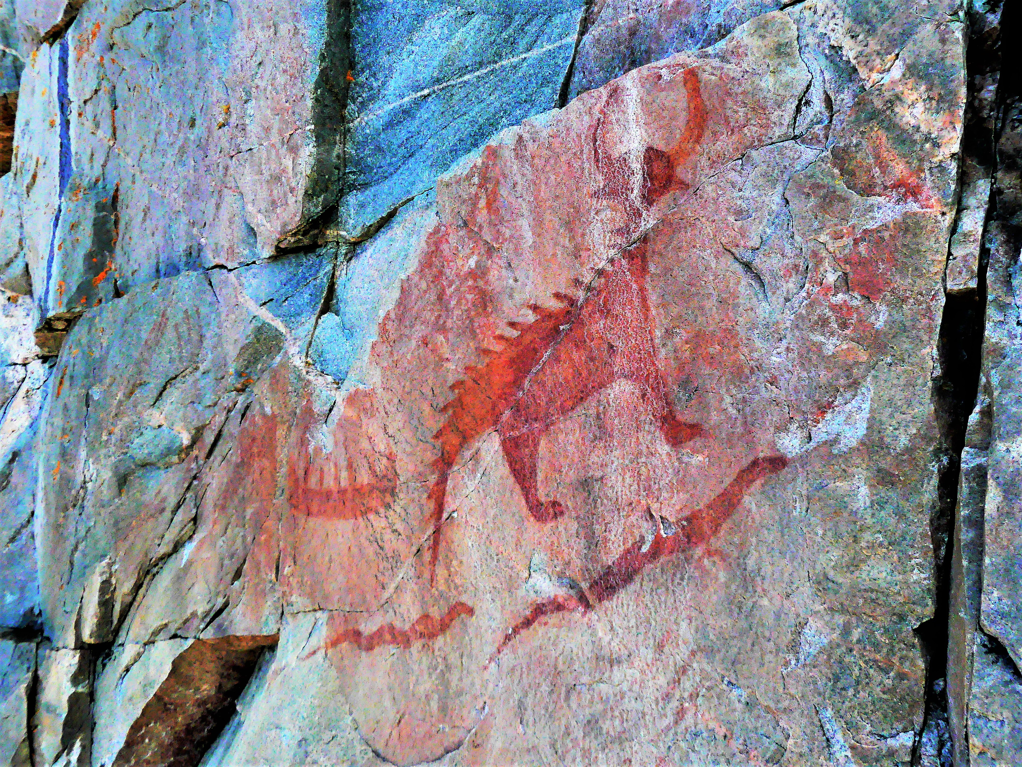
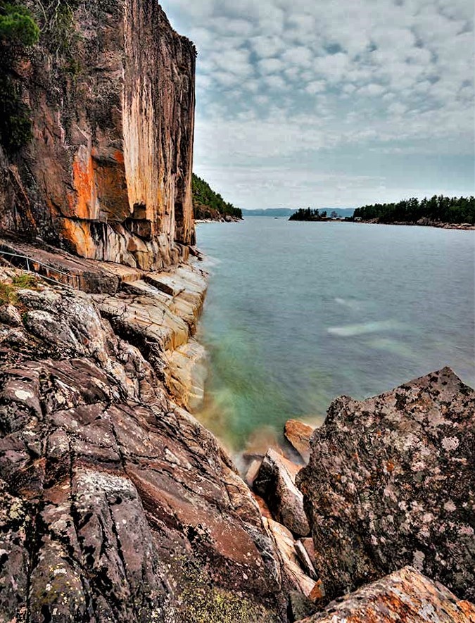
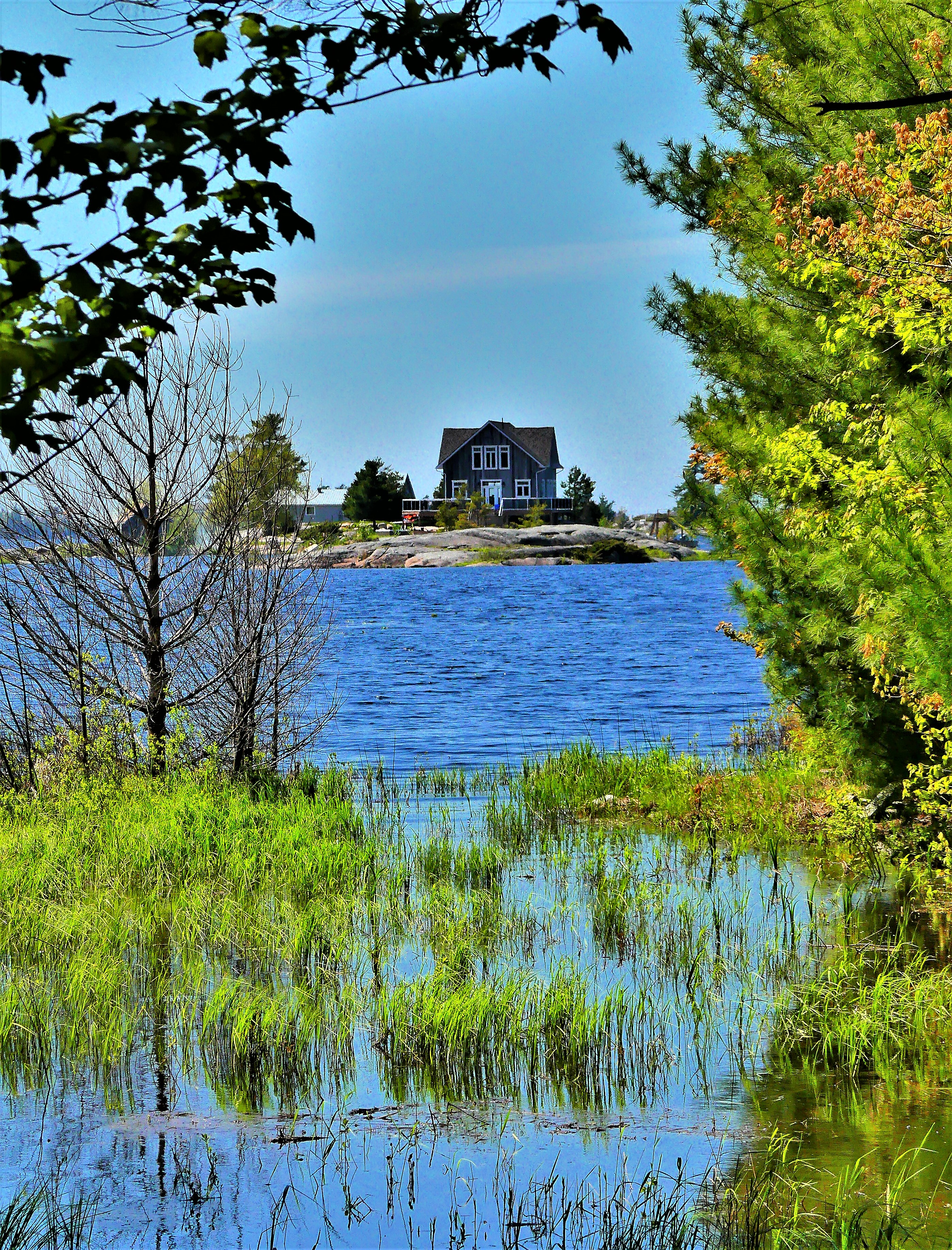
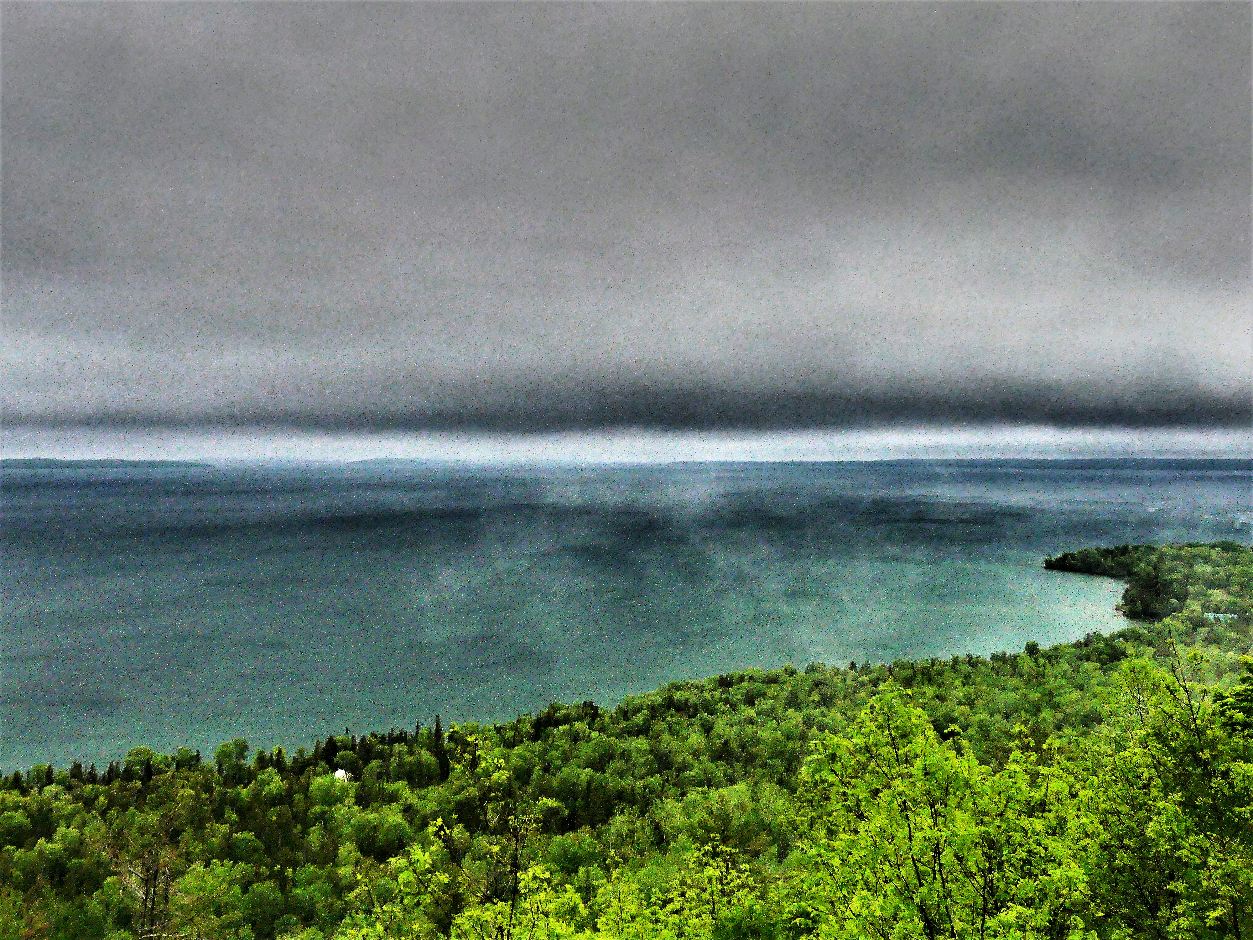
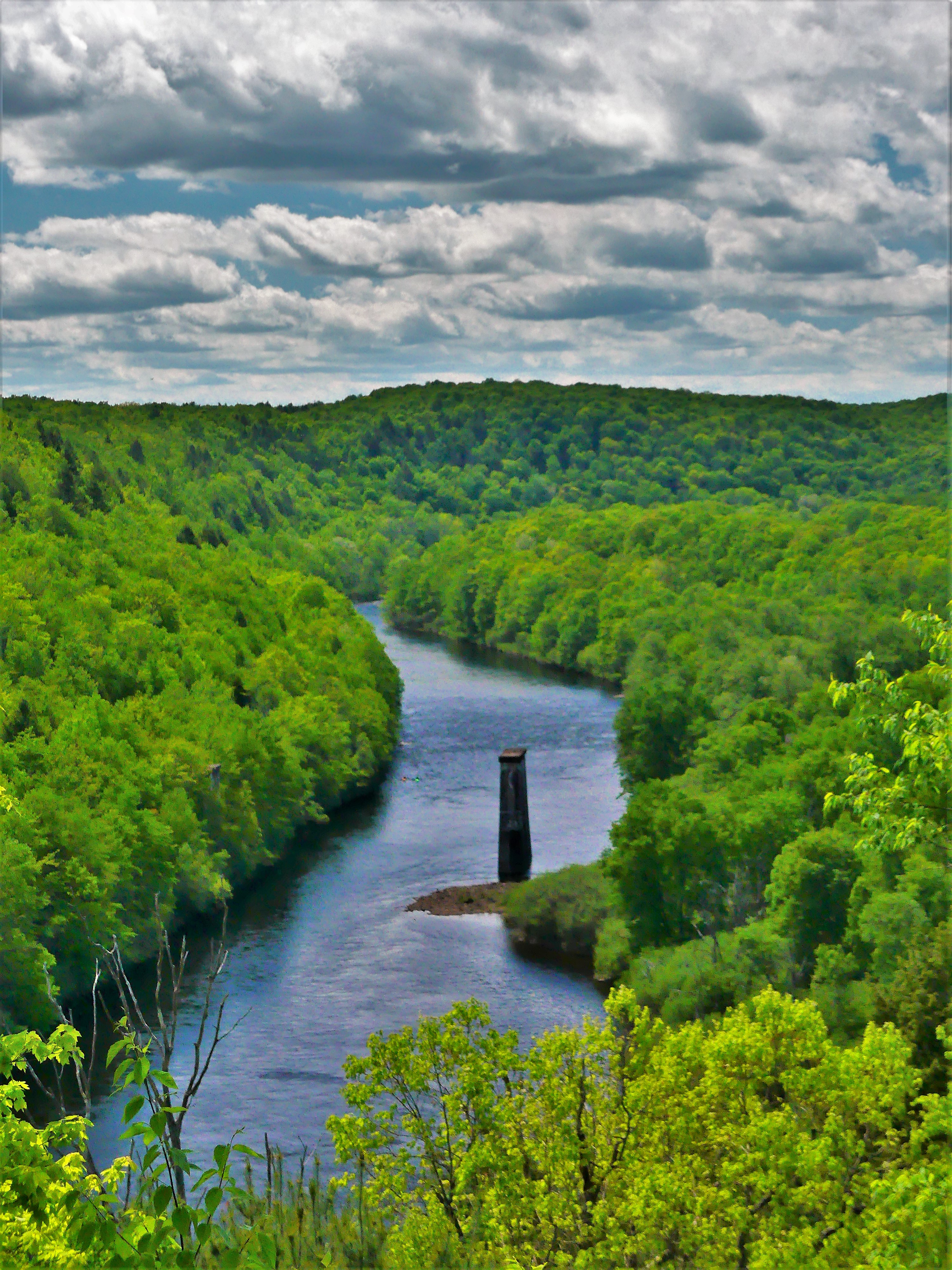
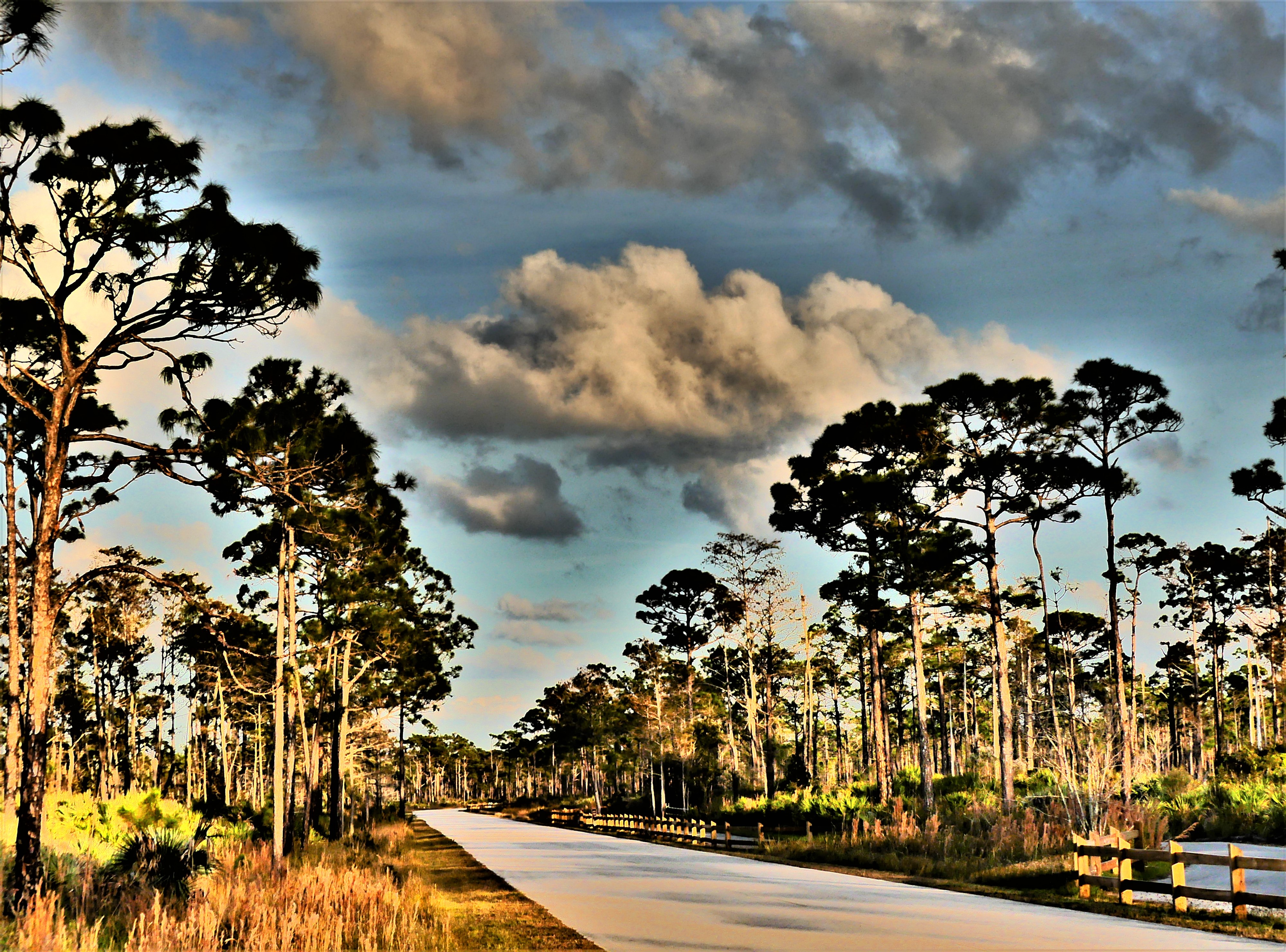
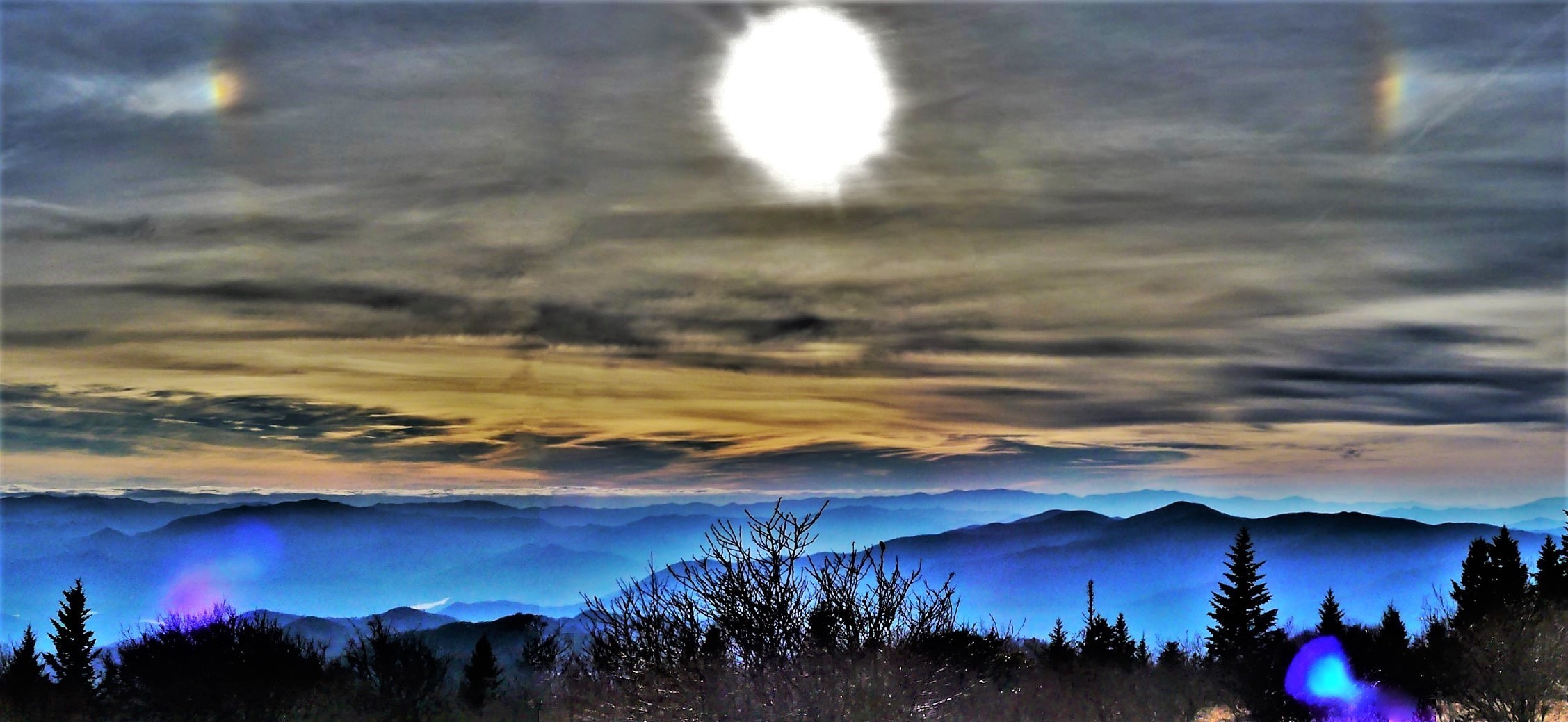
Although our living quarters were tight, our door usually opened onto something spectacular, from sunrises…
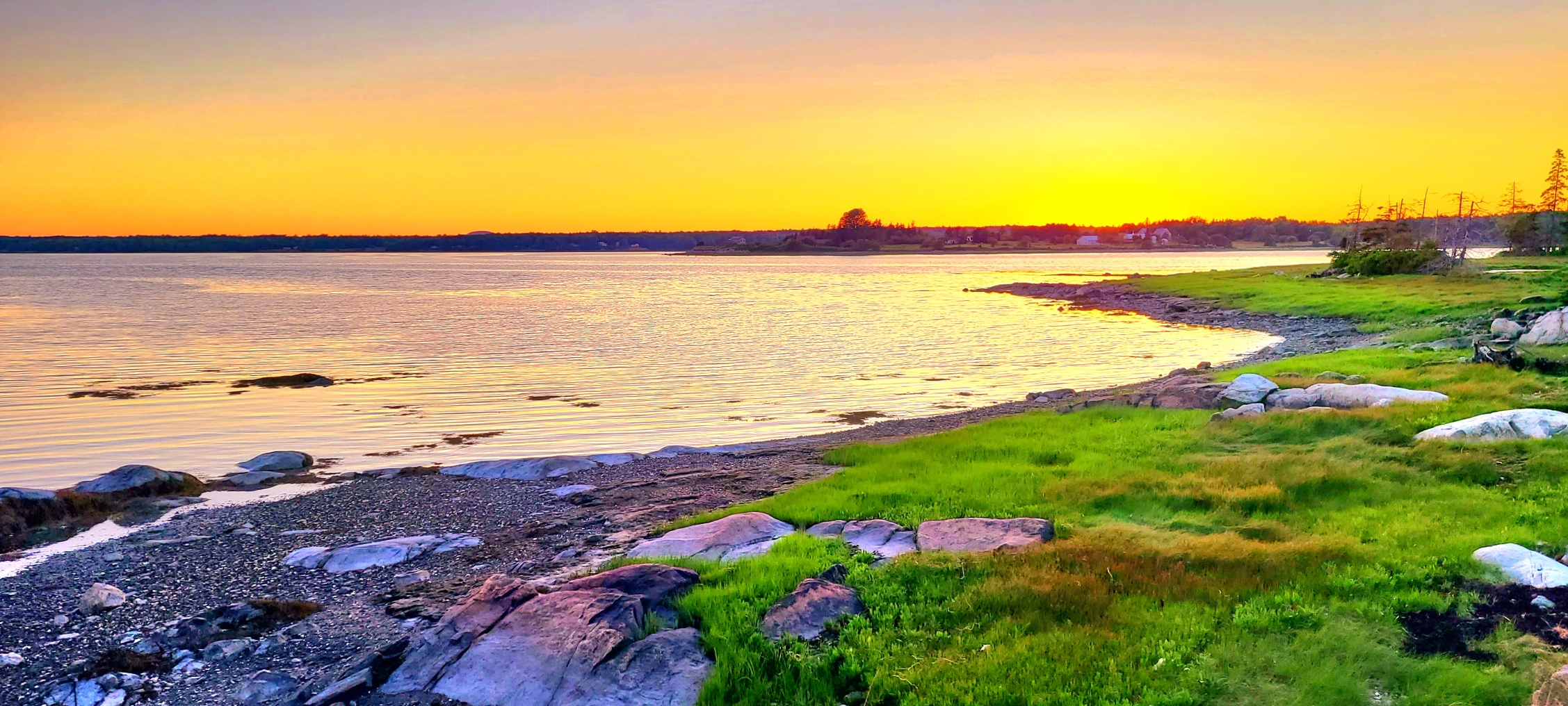
sunrise (2)

Grand Canyon sunrise (2)

to sunsets…

Mt. Pleasant, SC

sunset

sundown panorama (2)

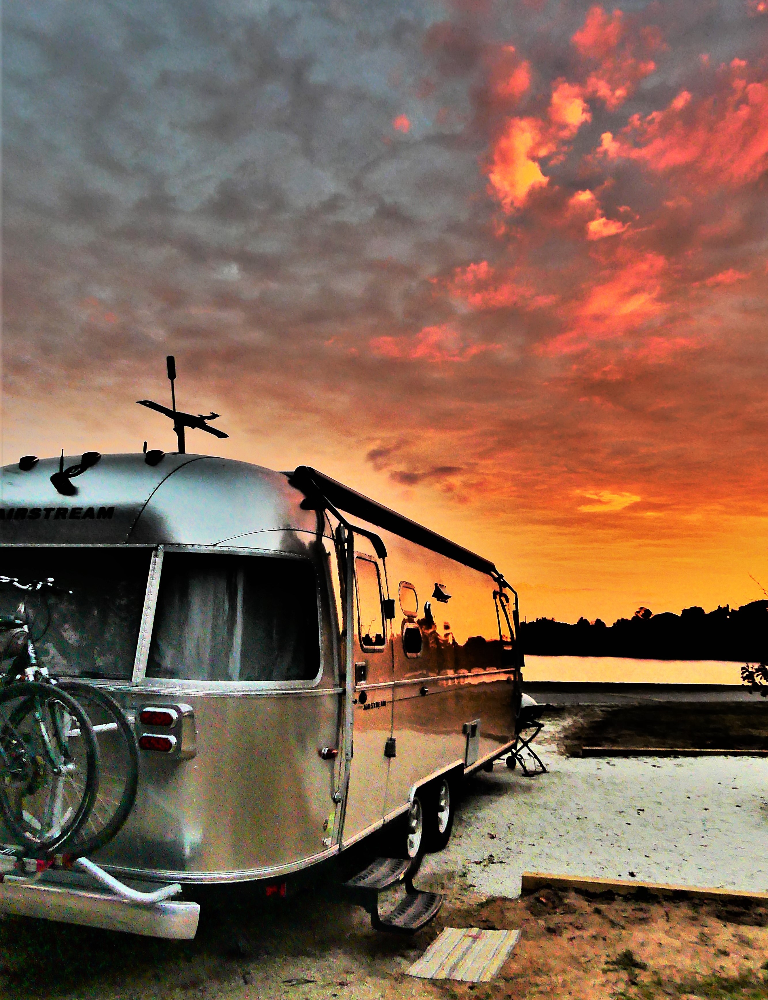
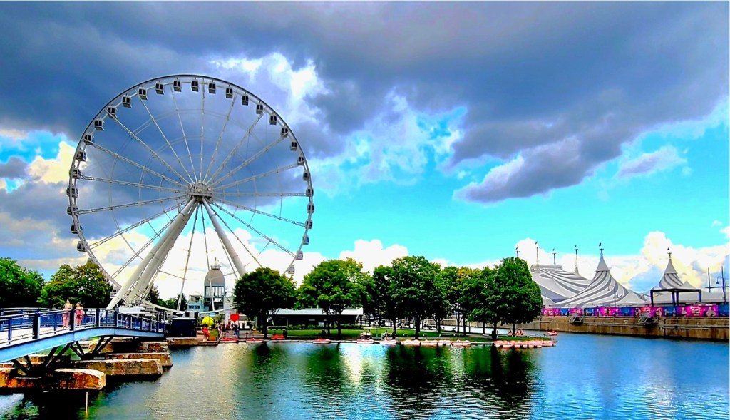
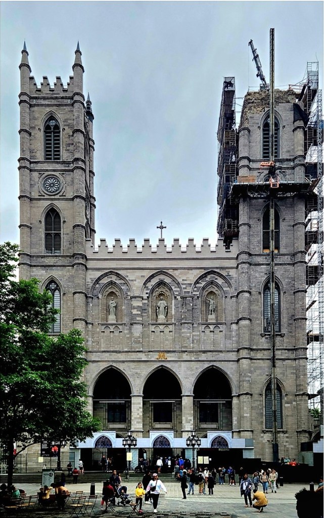
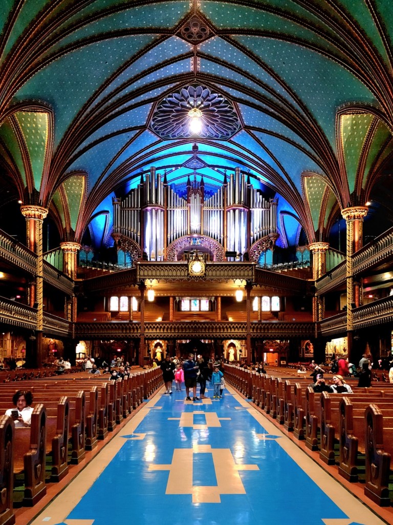
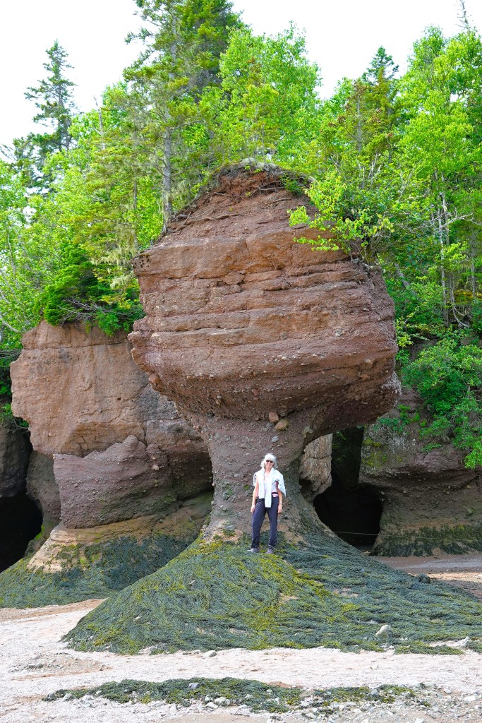
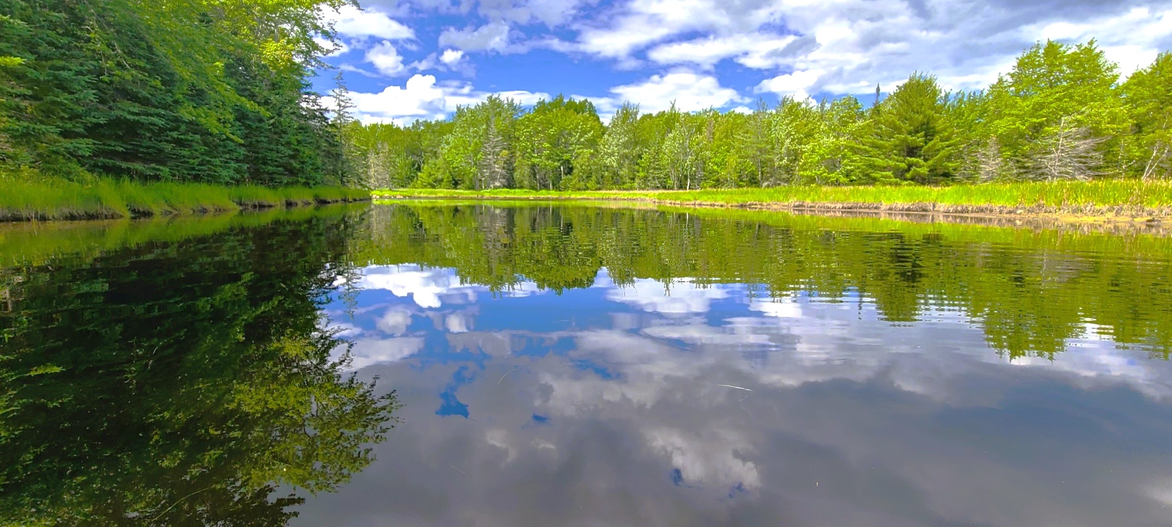
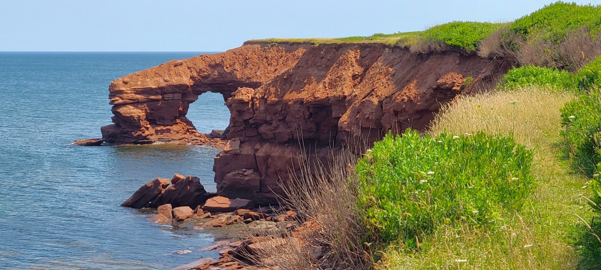
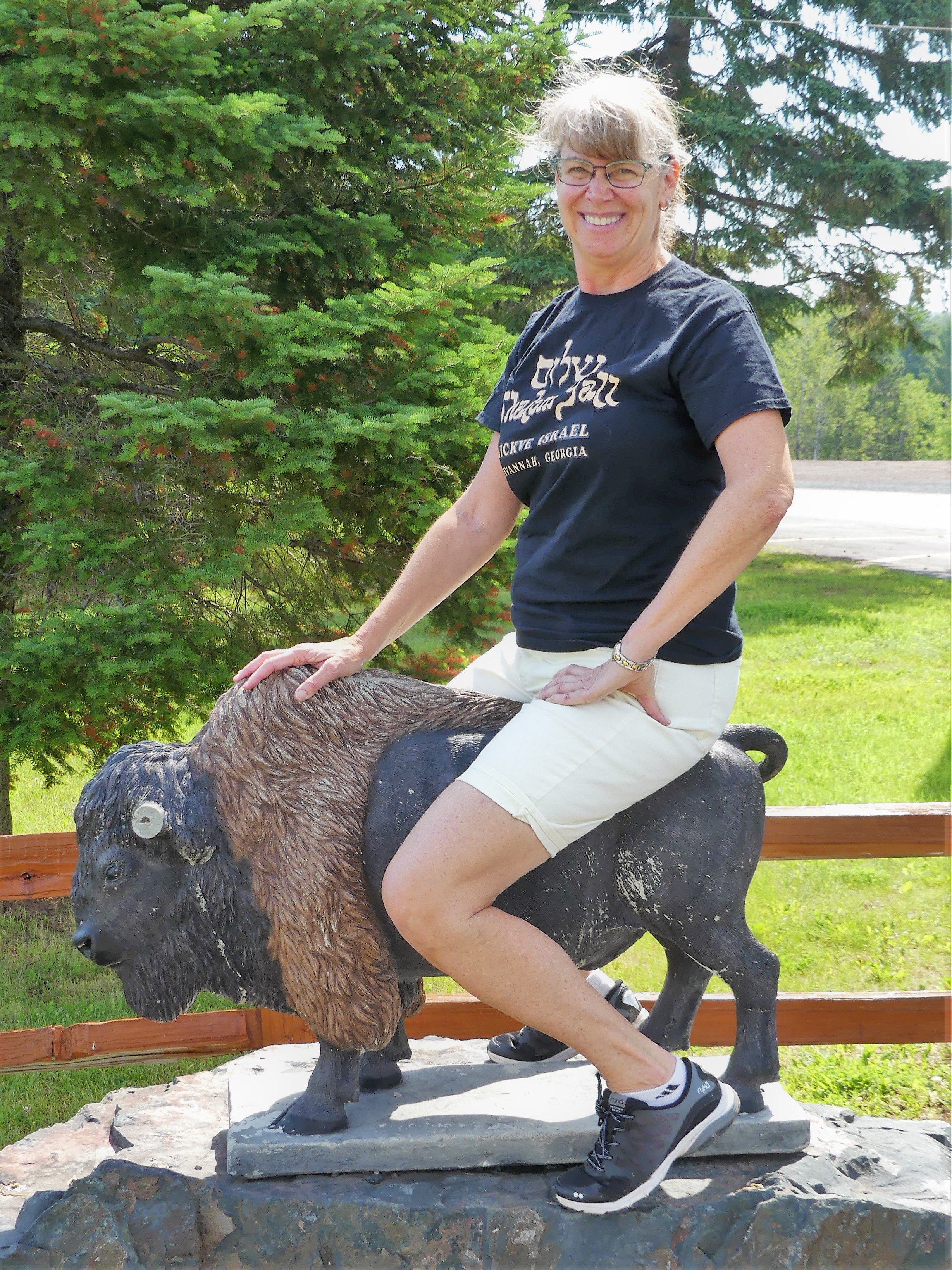
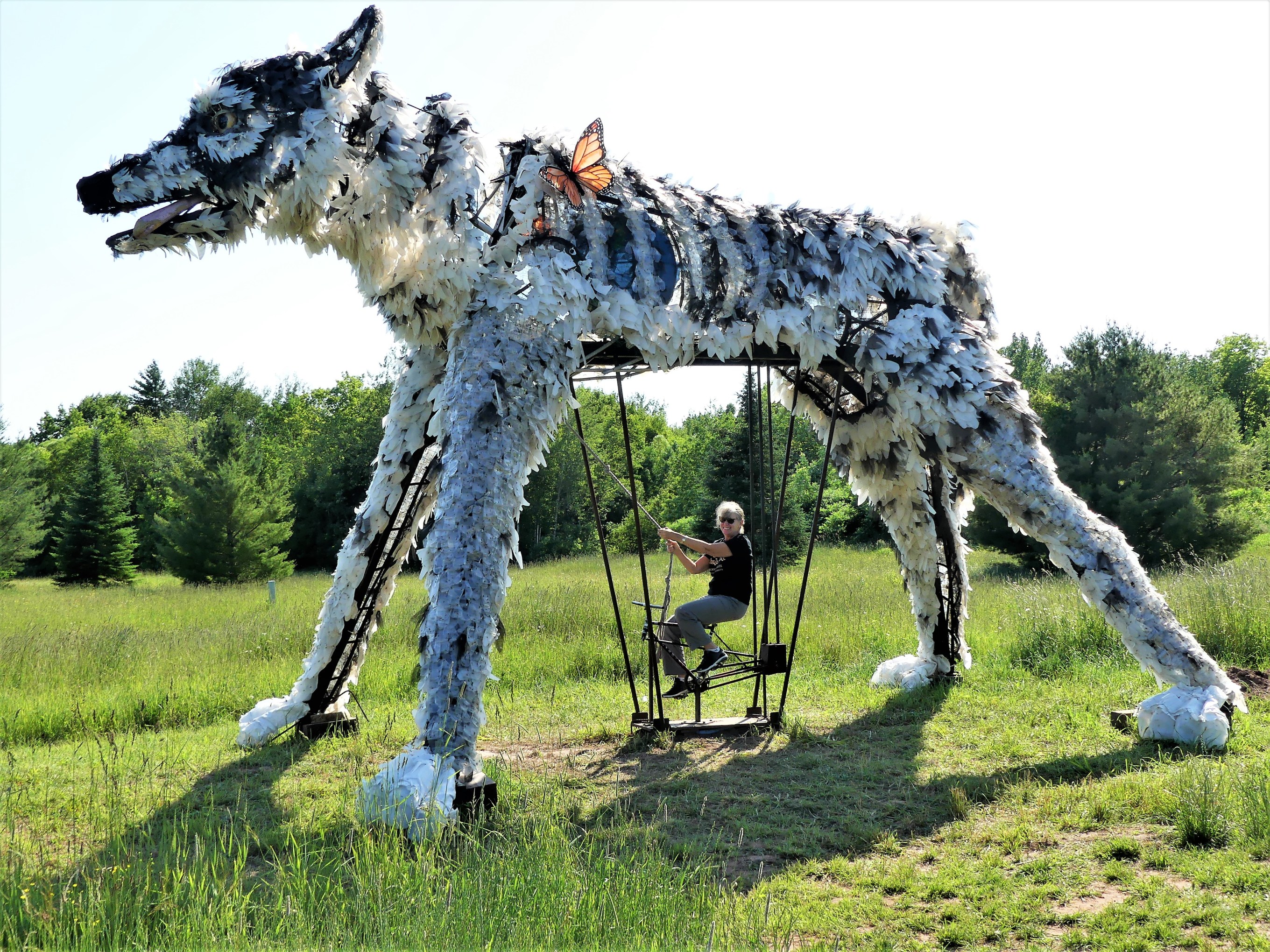
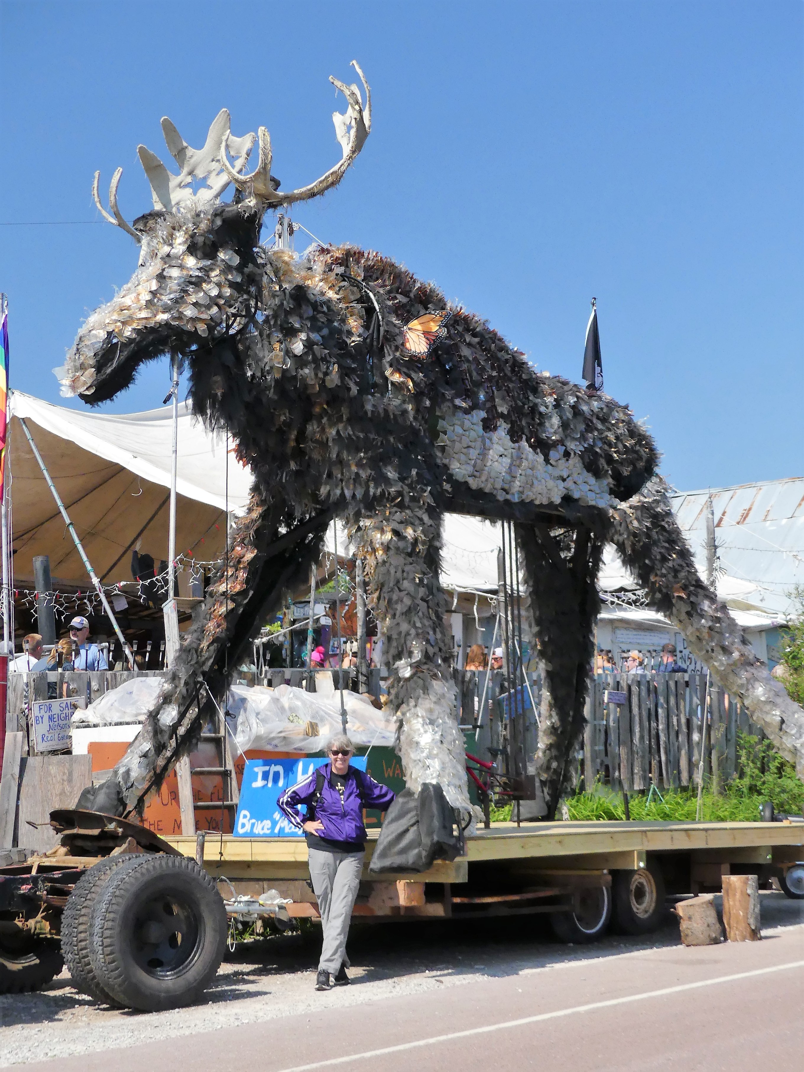
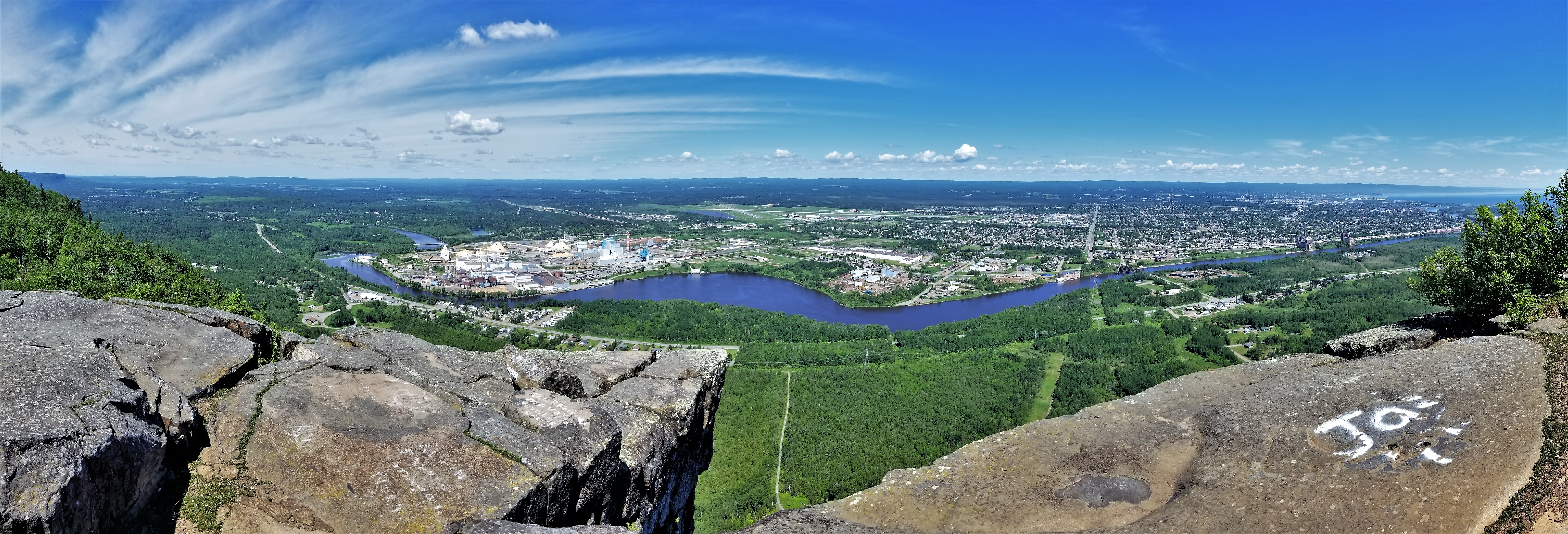
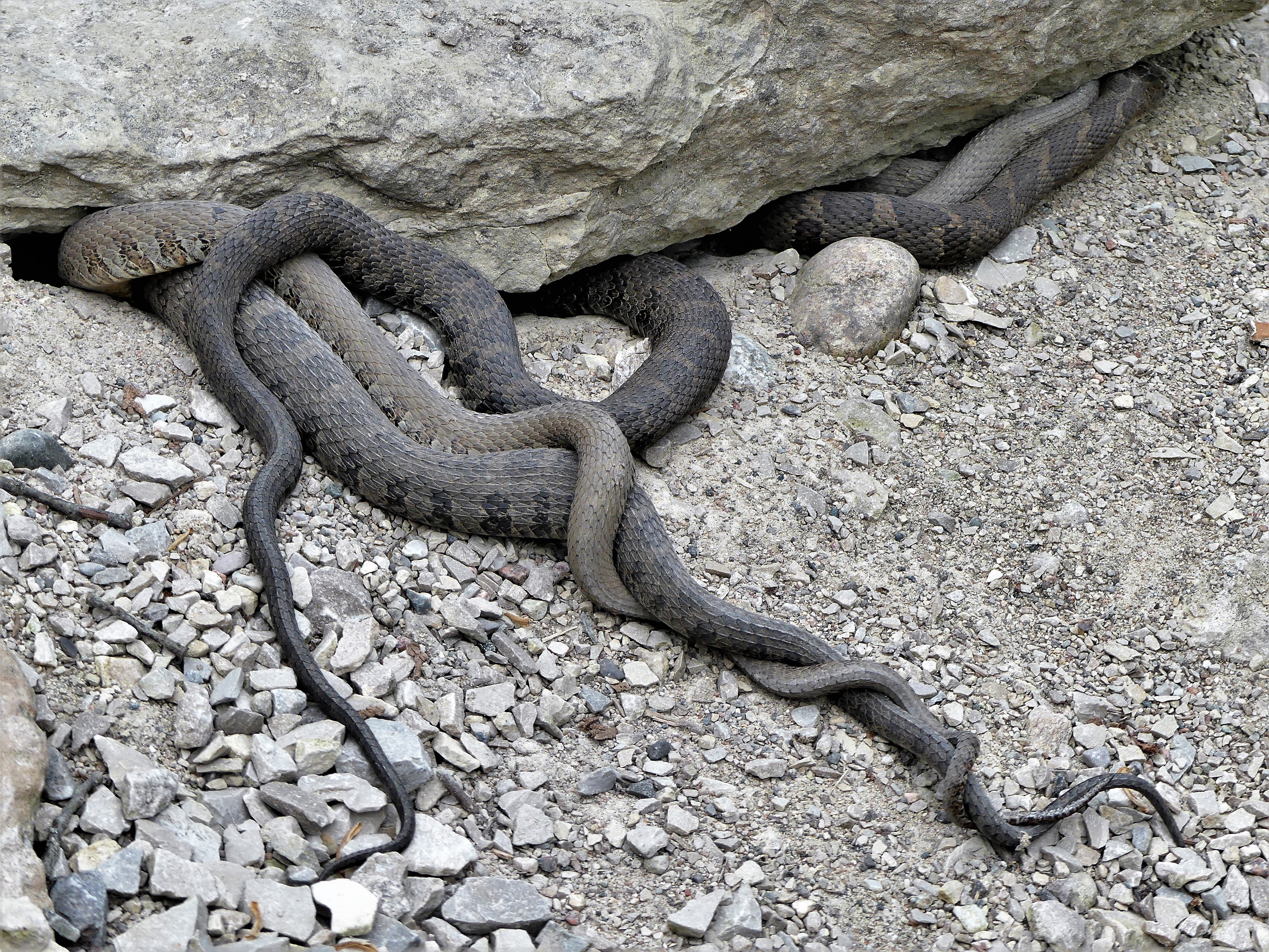
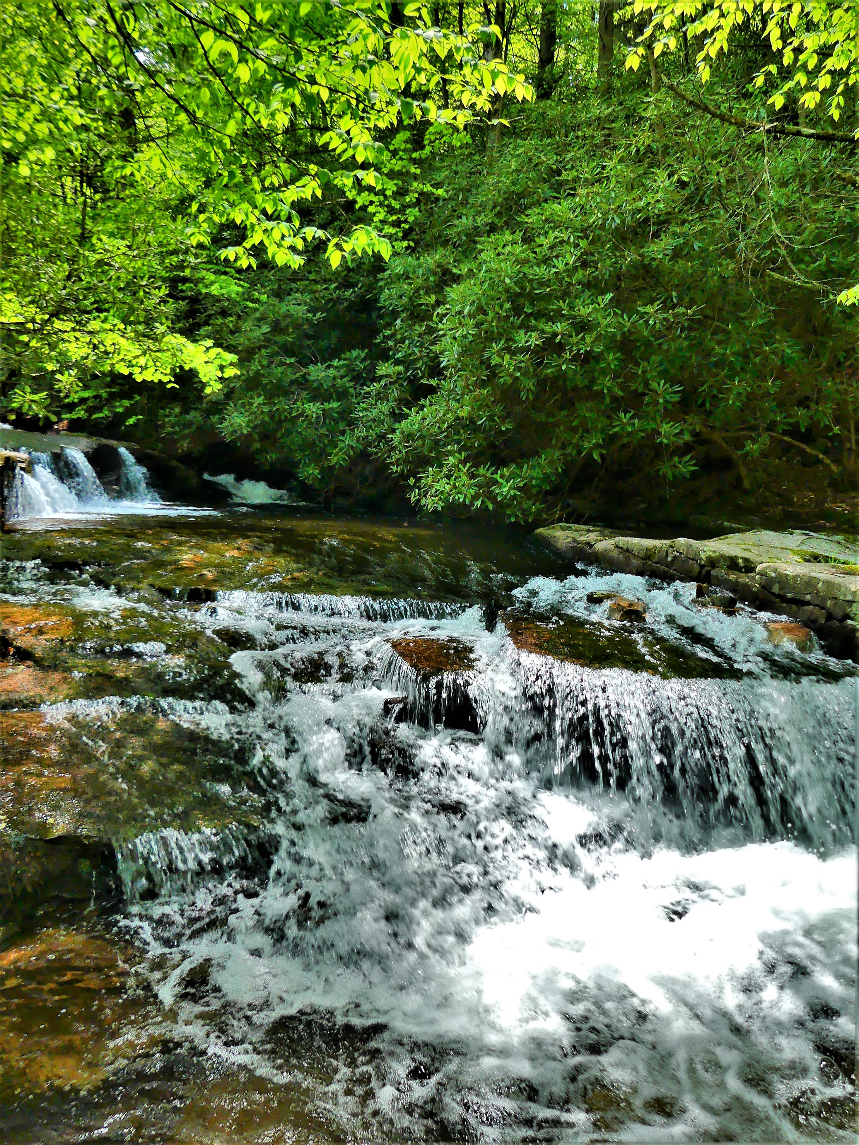
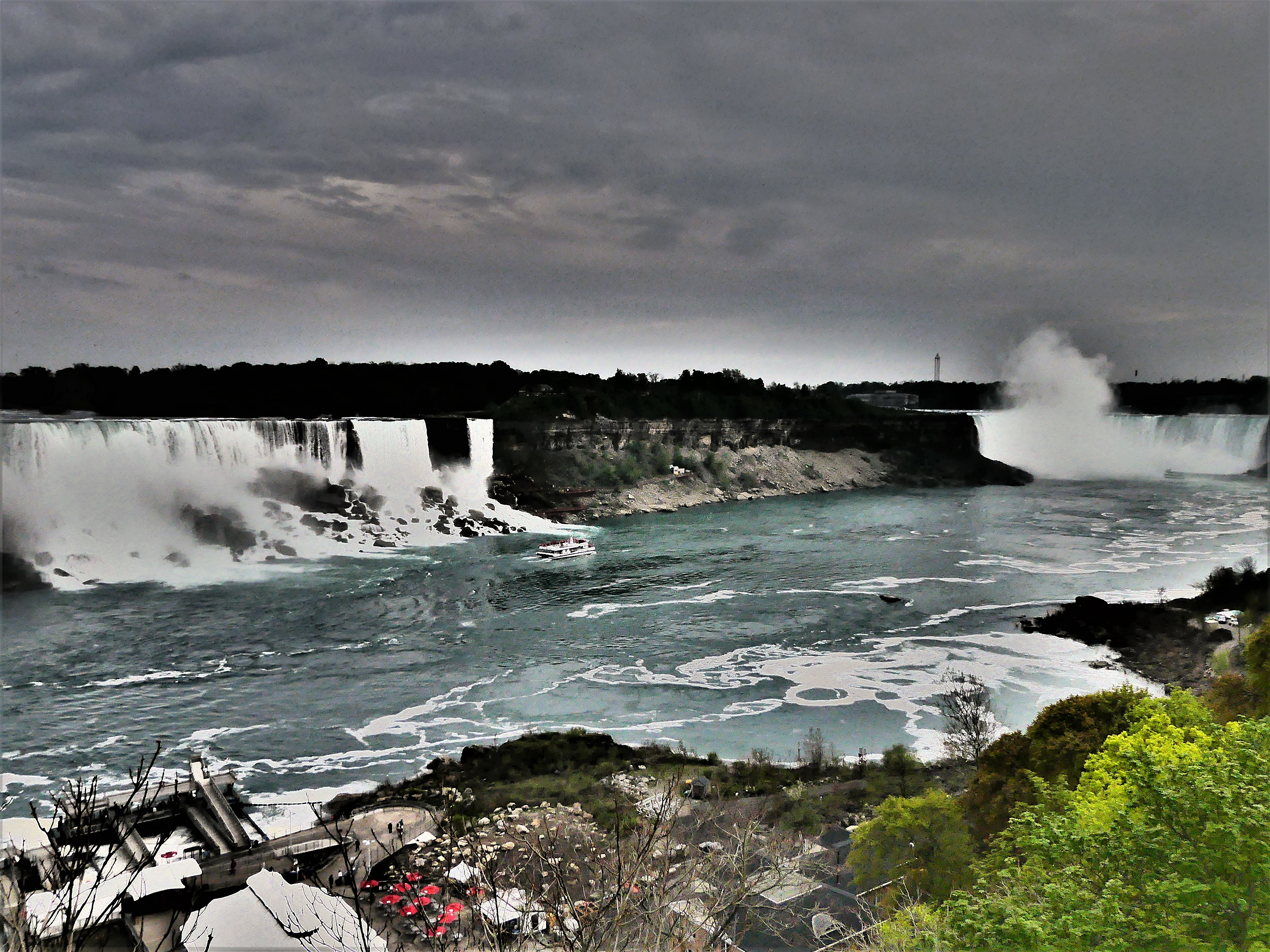
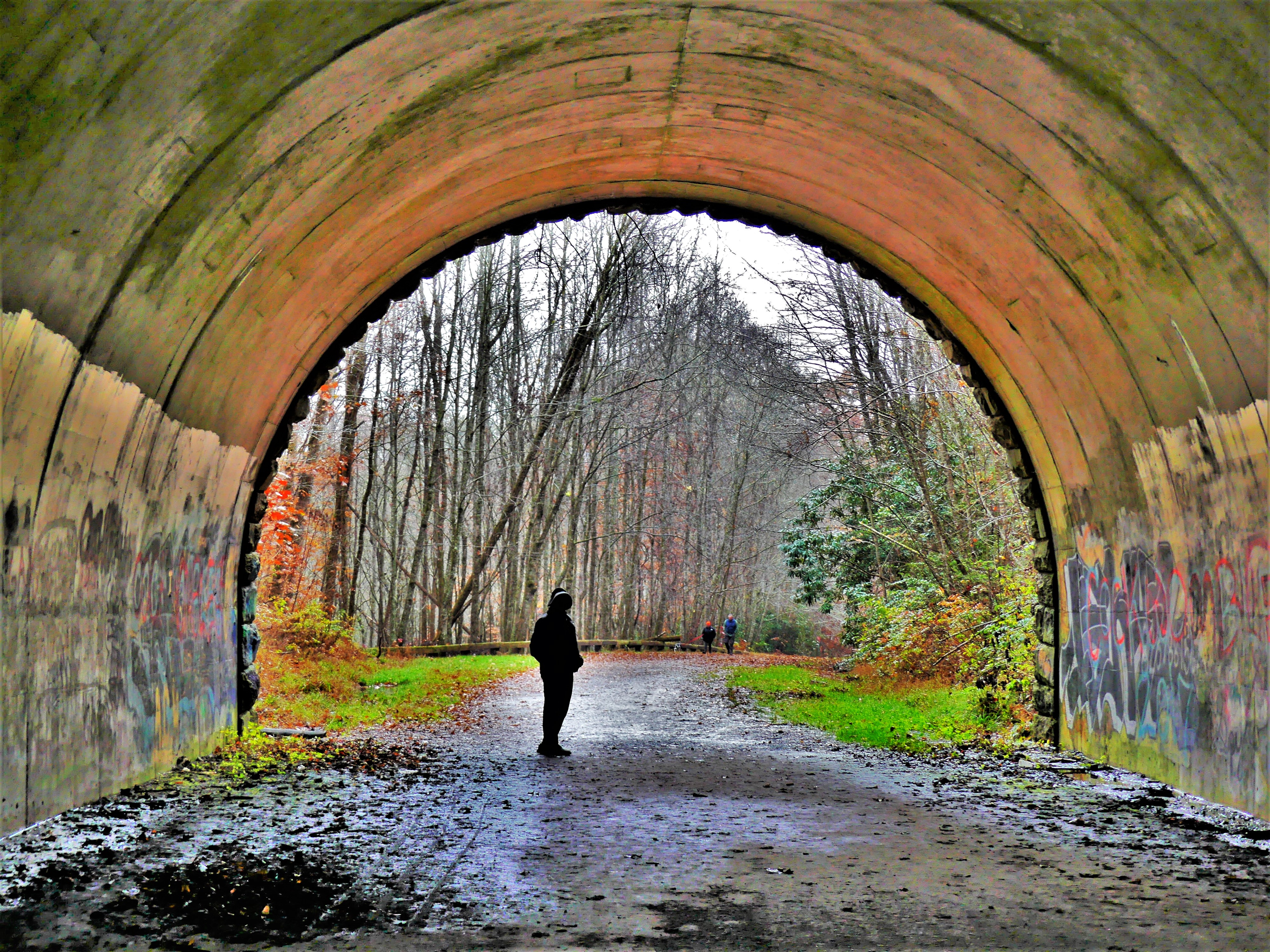
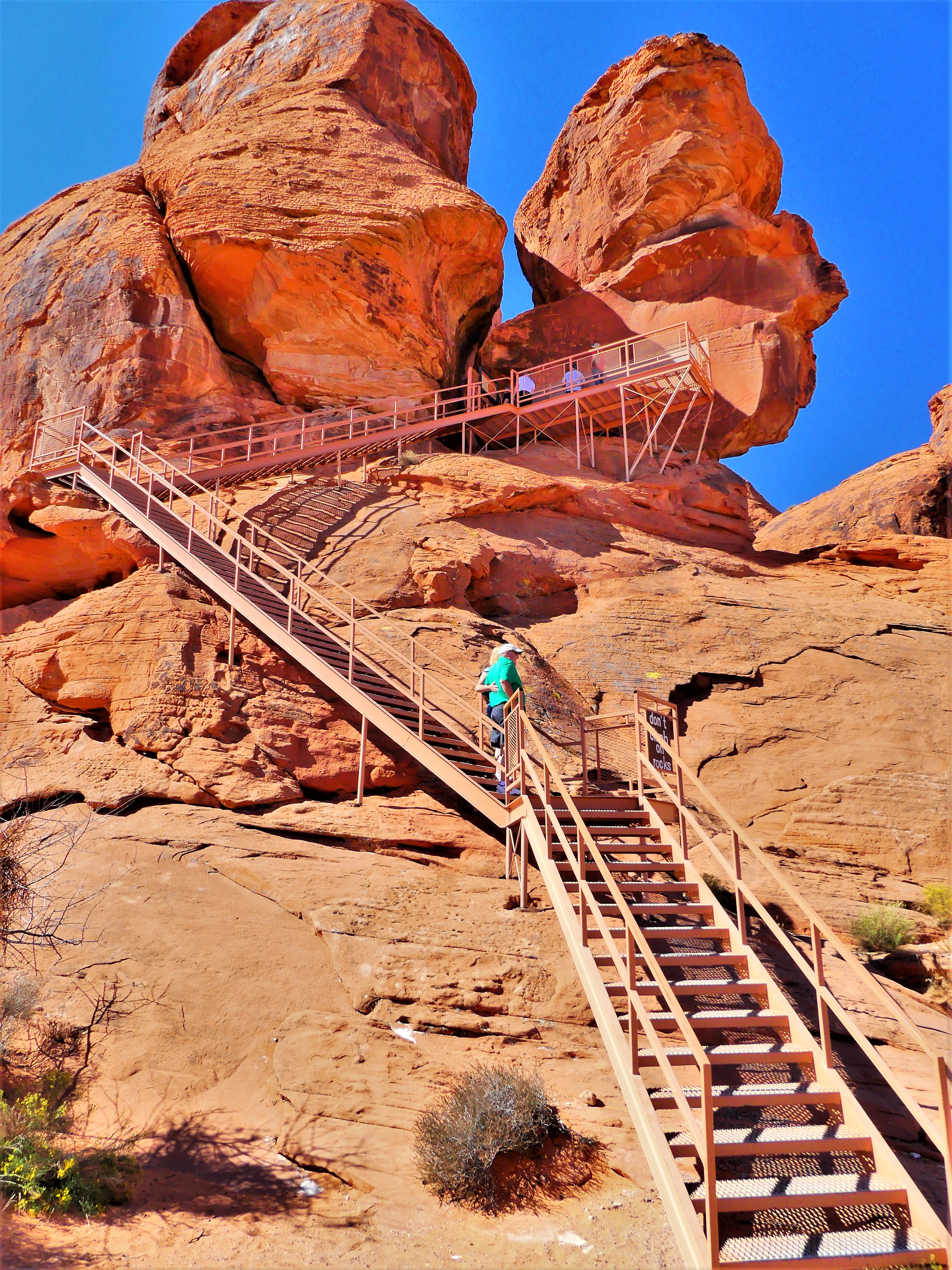
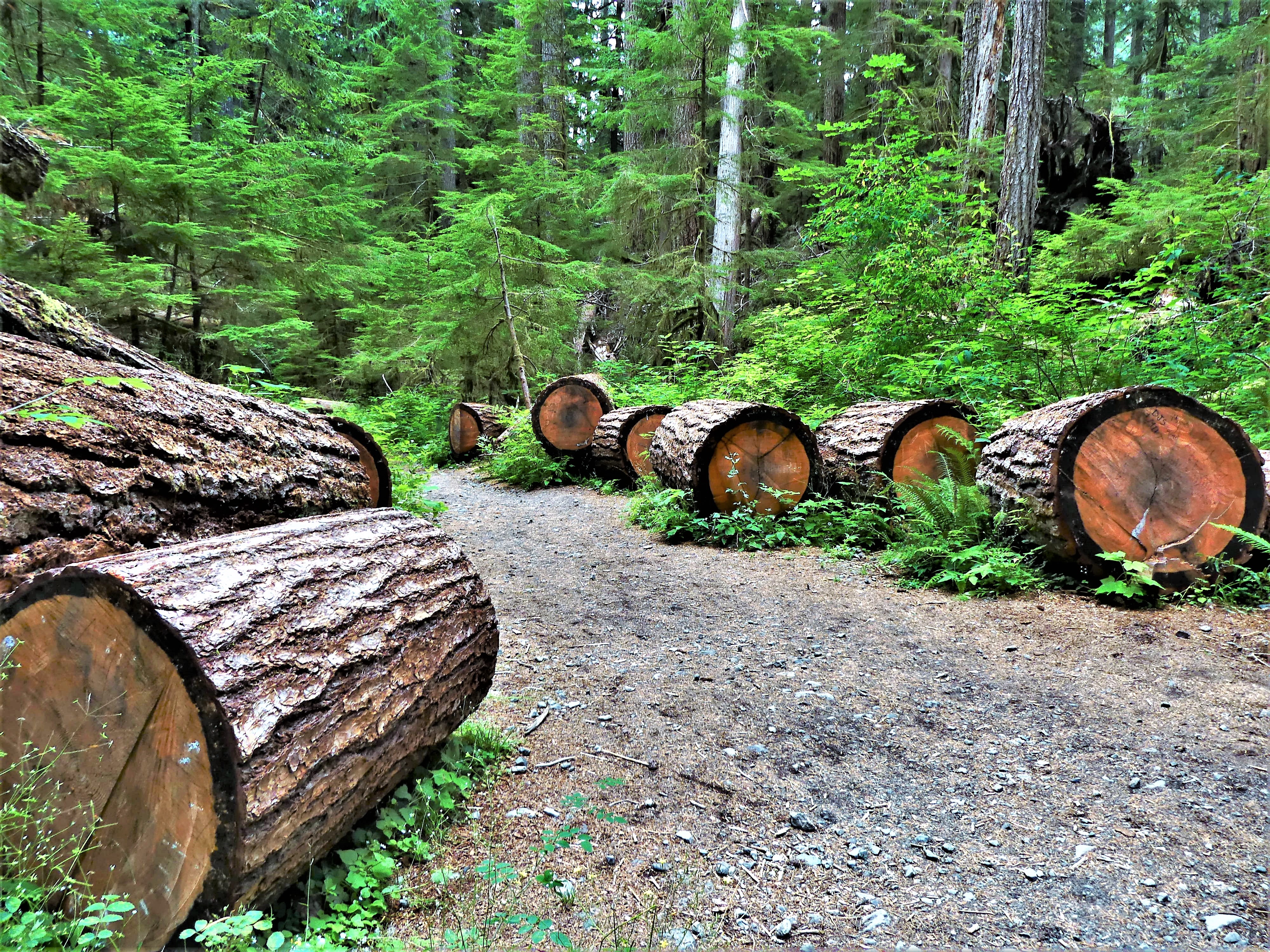
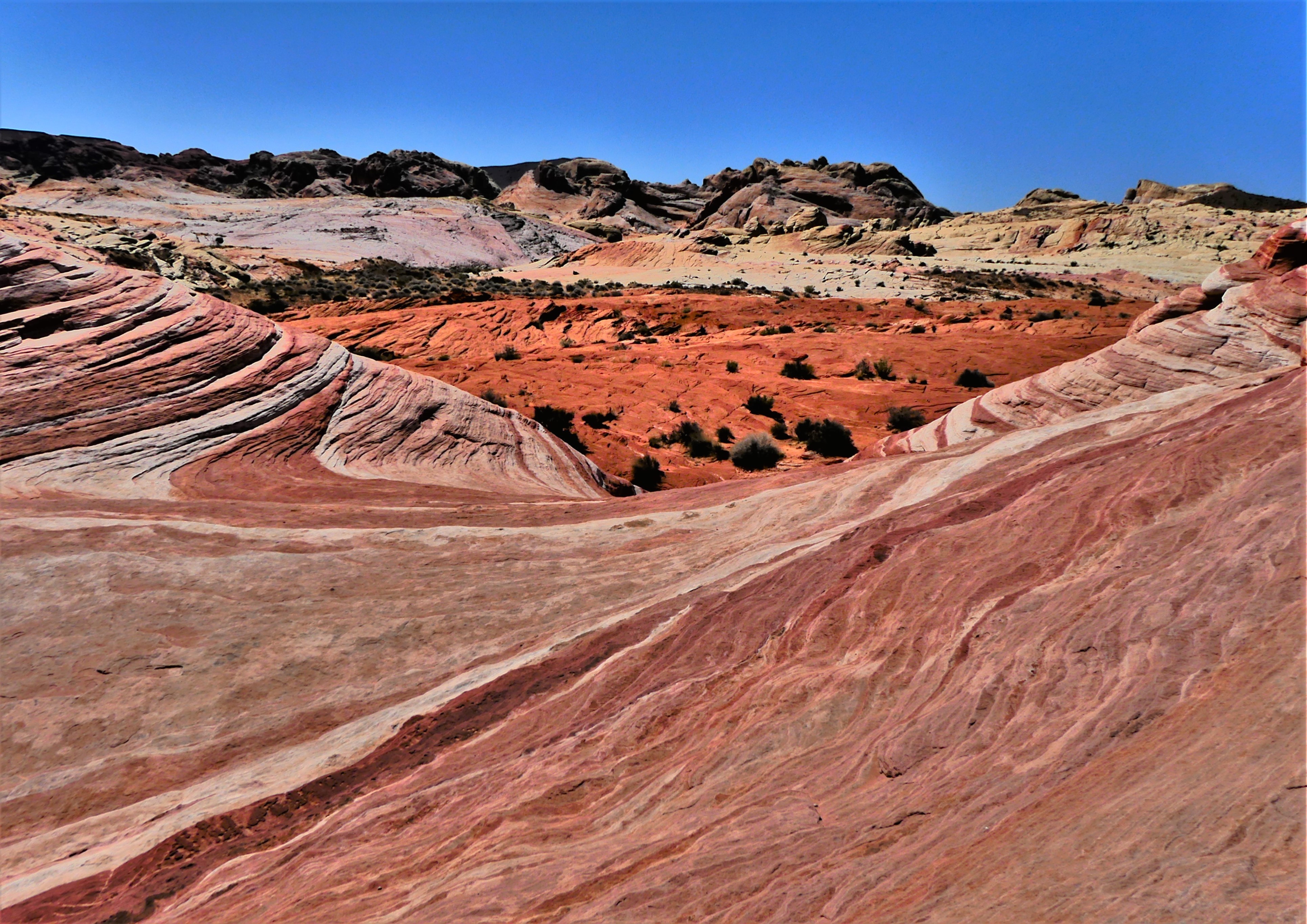
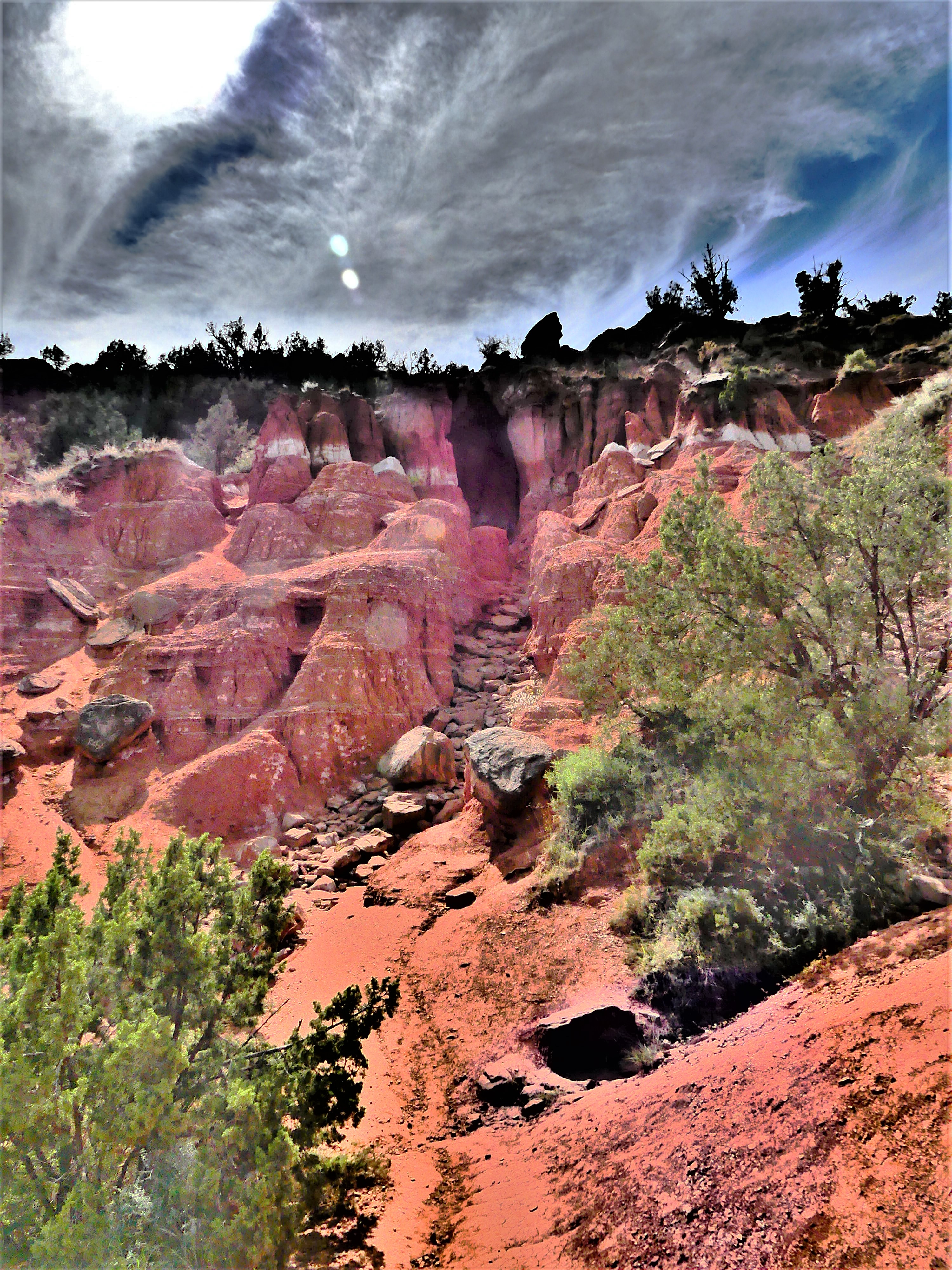
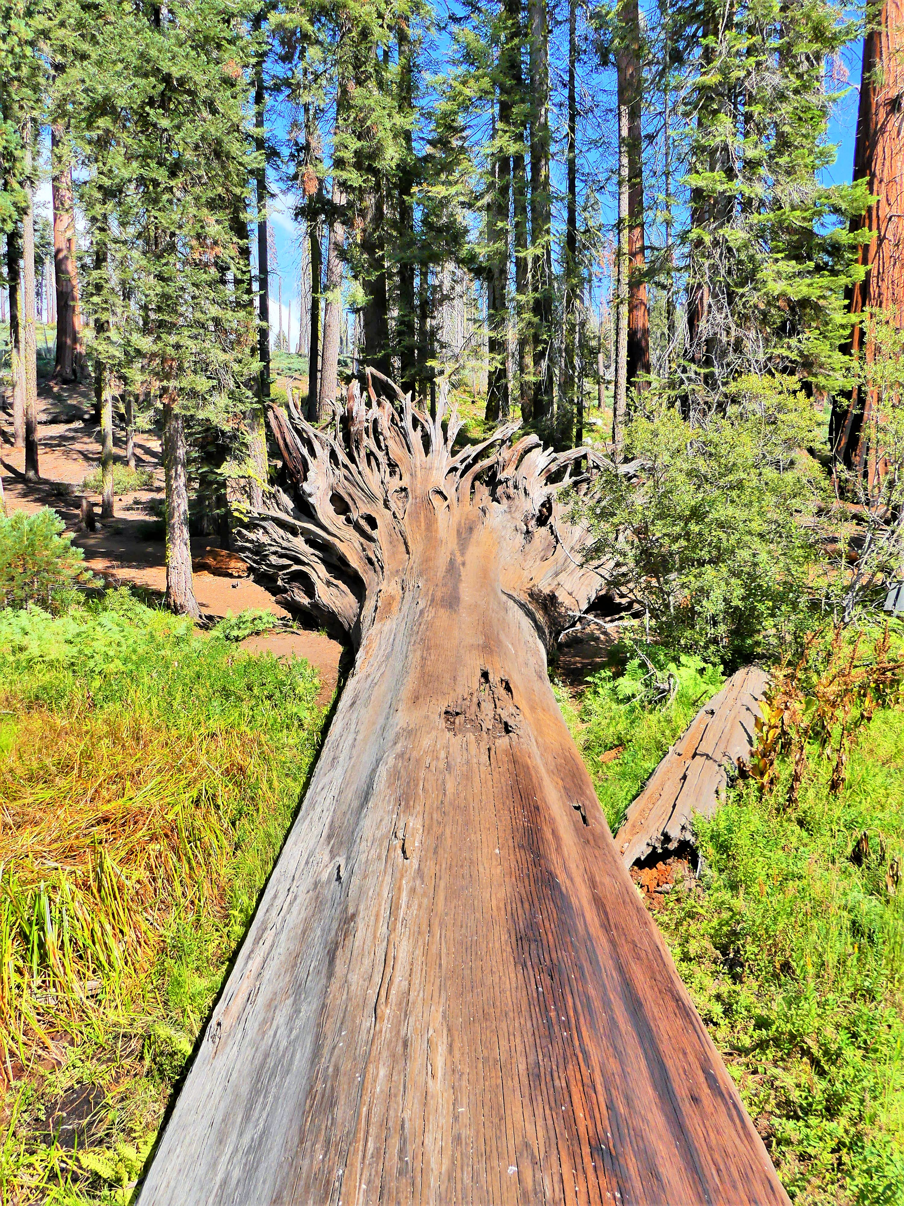
so most of days were spent exploring the extraordinary.

We brought along a cribbage board and backgammon set, thinking that when our conversation ran dry, we could always resort to games, but when it was the two of us together lounging in our lair, we either stretched out along the dinette streaming Netflix when internet allowed, or sought alone time at opposite ends of the trailer, separated by a sliding screen or a swinging lavatory door.

Our queenish-sized platform bed was roomy and comfy. And the only times we slept apart was for five days when I was fighting the flu. Otherwise, our sleeping cycles alternated between retiring together, or more often than not, Leah retiring early while I night-owled to edit photography du jour, or posted to my blog.

Although this blog is by no means the end, it has been a means to an end. Streaming thru America has given me a springboard to dive into my desire to write consistently for a audience bigger than one, and a jump-start to reinvigorating my passion for photography. Combining my writing and photography in a travel blog has been reaffirming and therapeutic, and the motivation I needed to pump out 160 posts of 100,000 words and 2800 photos along the way.

What started as a forum for family and friends has grown organically to a following of 1900 plus fans through WordPress and social media, with viewers from 140 countries along for the ride. I am awed and humbled every day that people from all over world find value in my words and pictures. And I am determined to keep going.

Long before we started out, Leah had already decided on our exit strategy–that once we’d completed our trip, and our Airstream had served its purpose, we’d put it on the selling block. But I had a different vision–that this trip would lay the foundation for future trips around the continent. While it would never be as epic as this particular journey, I could nonetheless foresee regional trips to faraway fields and streams for a month or two or three.

However, after shoving off and putting hundreds of miles behind us, the new and scary gave way to familiar and fearless, and Leah was hooked.

As it happens, there were so many destinations that we short-changed in favor of keeping the whirlwind spinning (see An Olympian Apology), not to mention sections of the country that we bypassed all together, that today we feel compelled to prepare preliminary plans to patch the holes in our past itinerary.

For now, the Airstream sits in the dealer’s lot awaiting its spring maintenance, although the fourth nor’easter forecasted to hit this area in as many weeks makes us yearn for the Texas heat spell we endured last April (see “We’re on the Road to Nowhere”).

When we return to Towaco, we’ll have a house to sell and a household to pack away for our anticipated move to St. Augustine (see Finally!). Then, in a few months, we’ll recapture the glory of living as seasoned road warriors, as we savor the feeling of hauling our reconditioned Airstream through the Shenandoah Valley and over the Blue Ridge Mountains to a long-term storage solution in Charlotte NC.

And before too long, it will be time to hitch up the Airstream like old times, and follow the road on a new course and a new adventure.

Until next time,

streaming thru america

Happy Trails!

Mercer’s Swan Song

High on a bluff, overlooking the Wilmington River, sits Bonaventure Cemetery, 160 acres of inspired Southern Gothic funerary art and monuments worthy of any fabled ghost story setting, and one of the most hauntingly beautiful resting places found in America.

Named Bonadventure–good fortune in Italian–and conceived as a 9,920-acre plantation stretching from Ebenezer to Sunbury, Georgia, the land owners, Tattnall Sr. and Mullryne (son and father-in-law) mistakenly sided with King George III during the Revolutionary War, and were immediately denounced as traitors and stripped of their holdings by a Georgia council.

Tattnall Jr. returned from England soon after the war and reacquired a 750-acre tract of the property, where he settled with his Savannah-bred wife and family, before selling to Peter Wiltberger in 1846, who converted the land to a cemetery.

The day of our visit was dreary and wet, and it seemed fitting that the Spanish moss draped over 300 year-old oak trees would be weeping from the occasional drizzle.

Theuslandscape

Oddly, two sets of gates provide access to the graveyard: a Christian wing to left…

Christian entrance

and a Jewish gate to the right.

Bonaventure gate for Jews

We approached a gravedigger who was stepping out of his pick-up.

“I couldn’t help but notice the Jewish stars on top of the gate posts,” observed Leah.

“Yes, ma’am,” responded Doug, “This here’s a public cemetery.”

So Christians and Jews are buried together?” I questioned.

“Yes, sir,” agreed Doug. “Each religion’s got their own separate sections, and…”

“And there’s still room inside?” Leah interrupted.

“Yes, ma’am. I dug two fresh graves today. But you can’t buy your way in anymore, cuz everything’s all sold out long ago. But people keep askin’. I guess they’s dyin’ to get in,” joked Doug.

Fascinating!

We set off to explore. The cemetery was unexpectedly quiet for being a top attraction for curiosity seekers, and the bereaved.

Bonaventure Lane

We were on separate missions. Leah went in search of her namesake, and found her in a short matter of time.

Leah Goldstein

Whereas, I was in search of Johnny Mercer’s memorial–the legendary lyricist who penned over 1500 songs, was nominated for 14 Academy Award nominations, won Oscars for The Days of Wine and Roses, Moon River, In the Cool, Cool, Cool, of the Evening, and On the Atchison, Topeka and Santa Fe, and co-founded Capitol records–which turned into more of a scavenger hunt.

Resorting to the internet, I discovered the section and plot (H-48), but finding it was another matter, since the layout is unlike any grid, with over 31,000 burial records to date.

map.jpg

Leah went one way, and I went another. We wandered aimlessly through rows and rows of plots till we plotzed. I quickly understood why guided tours through Bonadventure Cemetery are so popular.

Eventually, I got some help from a pair of caretakers who were blowing damp leaves across the dirt and gravel roads. They were eager to help, but my inability to translate Malaysian, turned my request into a game of Charades.

Using broken English and hand gestures, they redirected us to the general vicinity, where we crossed paths…

intersection

with officers…

General Anderson

Wheaton and wife

and gentlemen…

Morgan

Rauers

Dieter

ladies…

Hartridge

Ives

…and children.

4 babies

We wound our way through Section H until signs pointed to Johnny Mercer’s shrine of hits.

Johnny Mercer site

JM bench

Also in the vicinity, lies Georgia’s poet laureate and tragic orphan, Conrad Aiken,

Conrad Aiken

who is buried beside his father who murdered his mother, before turning the gun on himself when Conrad was 11-years old. Conrad went on to study at Harvard, where he was mentored by T.S. Eliot, and won the Pulitzer Prize for Selected Poems in 1930.

Another literary thread woven through the Bonaventure fabric includes New York Time’s longest-standing (216 weeks) bestseller, Midnight in the Garden of Good and Evil, a true tale written by John Berendt.

midnight-in-the-garden-of-good-and-evil

The book cover featured Sylvia Shaw Judson’s Bird Girl, who graced the graveyard in relative obscurity for decades, until fans of the book sought out the statue’s location at Bonaventure, and began chipping away at its base for souvenirs. Eventually, Bird Girl was rescued and resettled in Savannah’s Telfair Museum of Art, where she can rest in one piece.

Bonaventure Cemetery under overcast skies during late autumn appears mostly monochromatic and presents a solemn and sombre mood. There are occasional pops of color from late blooms, to liven up a lifeless location,

angel and roses

but I was unprepared for the cheeky display I discovered on my way out.

cheeky Vaughn

For me, this represents a bonafide celebration of a life once lived, versus a death soon forgotten.