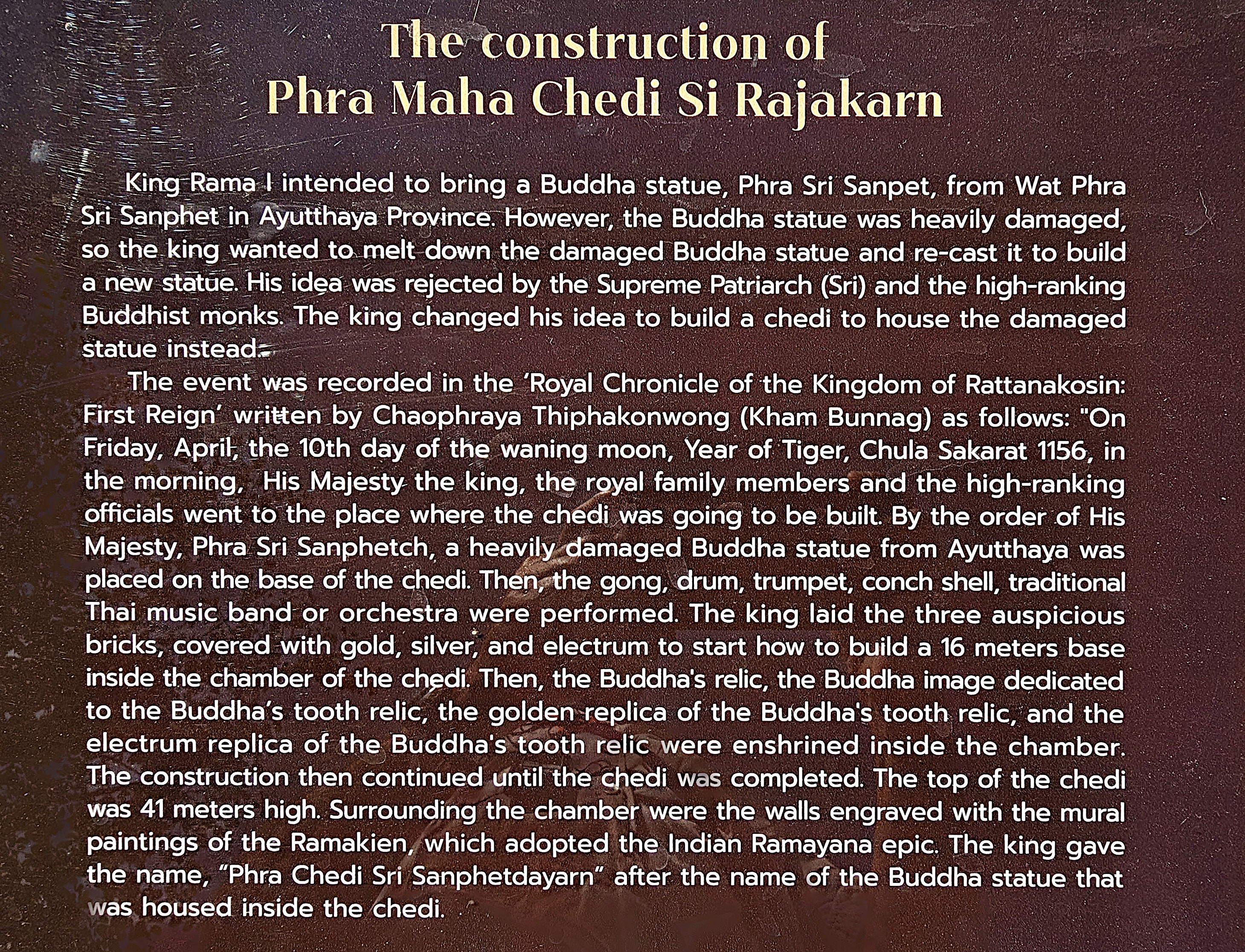
Overseas Adventure Travel, a familiar name in international group tourism, has a recognized history of offering an array of immersive tours that not only prioritize cultural engagement but also emphasize sustainability while remaining affordable for travelers. Their unique approach allows adventurers to connect deeply with diverse populations and local traditions, fostering genuine interactions.
In alignment with this mission, their charitable partner, Grand Circle Foundation has made a profound commitment to uplift and support the communities they visit around the world. This includes providing essential services in areas such as education, access to clean water, and leadership training, ensuring that the benefits of tourism extend far beyond the travelers themselves.
Since 1992, O.A.T.’s active participation in conservation initiatives aimed at protecting natural ecosystems and preserving cultural traditions has created a positive and lasting impact in every location they’ve ventured into, thereby enriching visitors and communities alike.
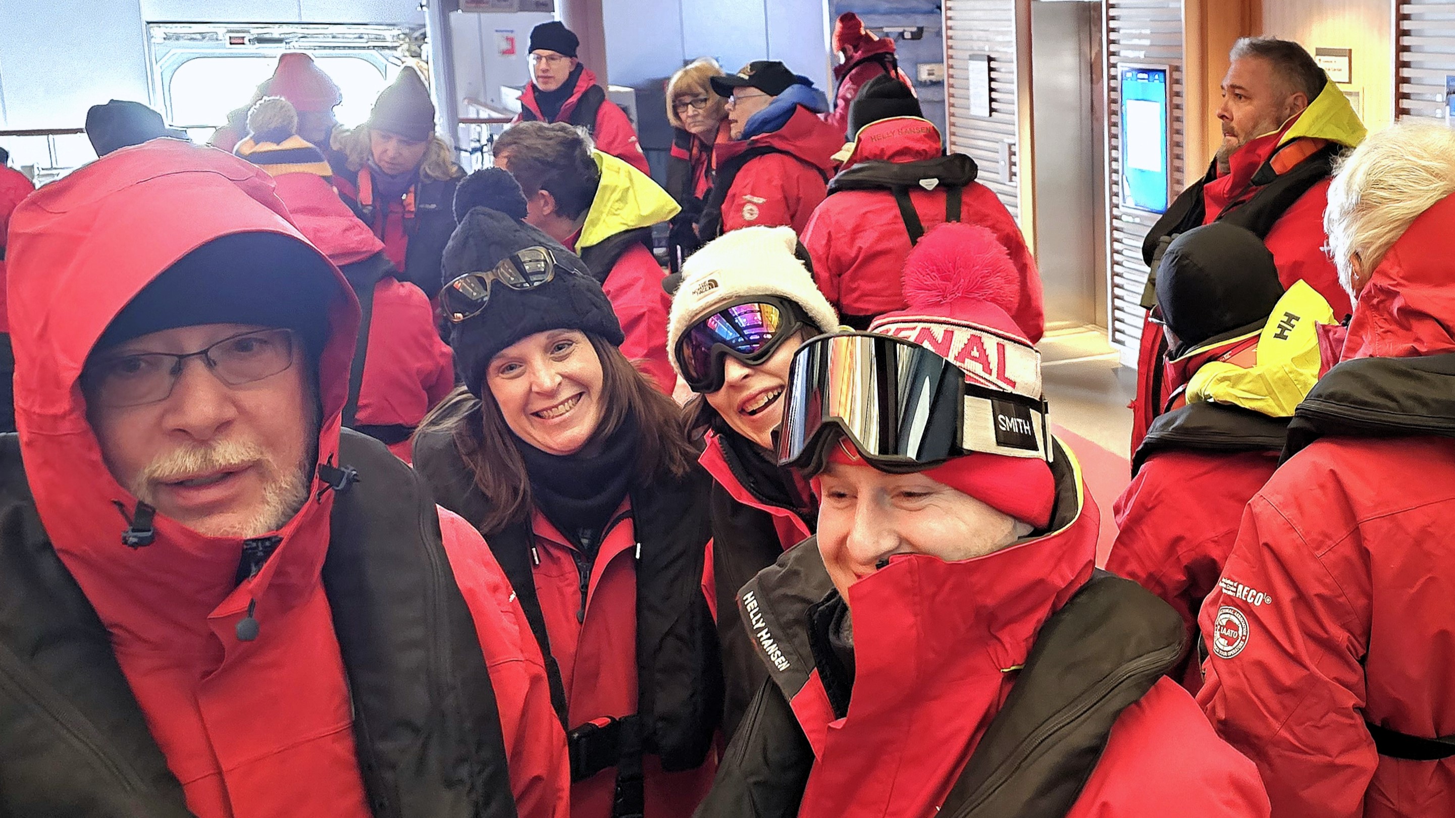
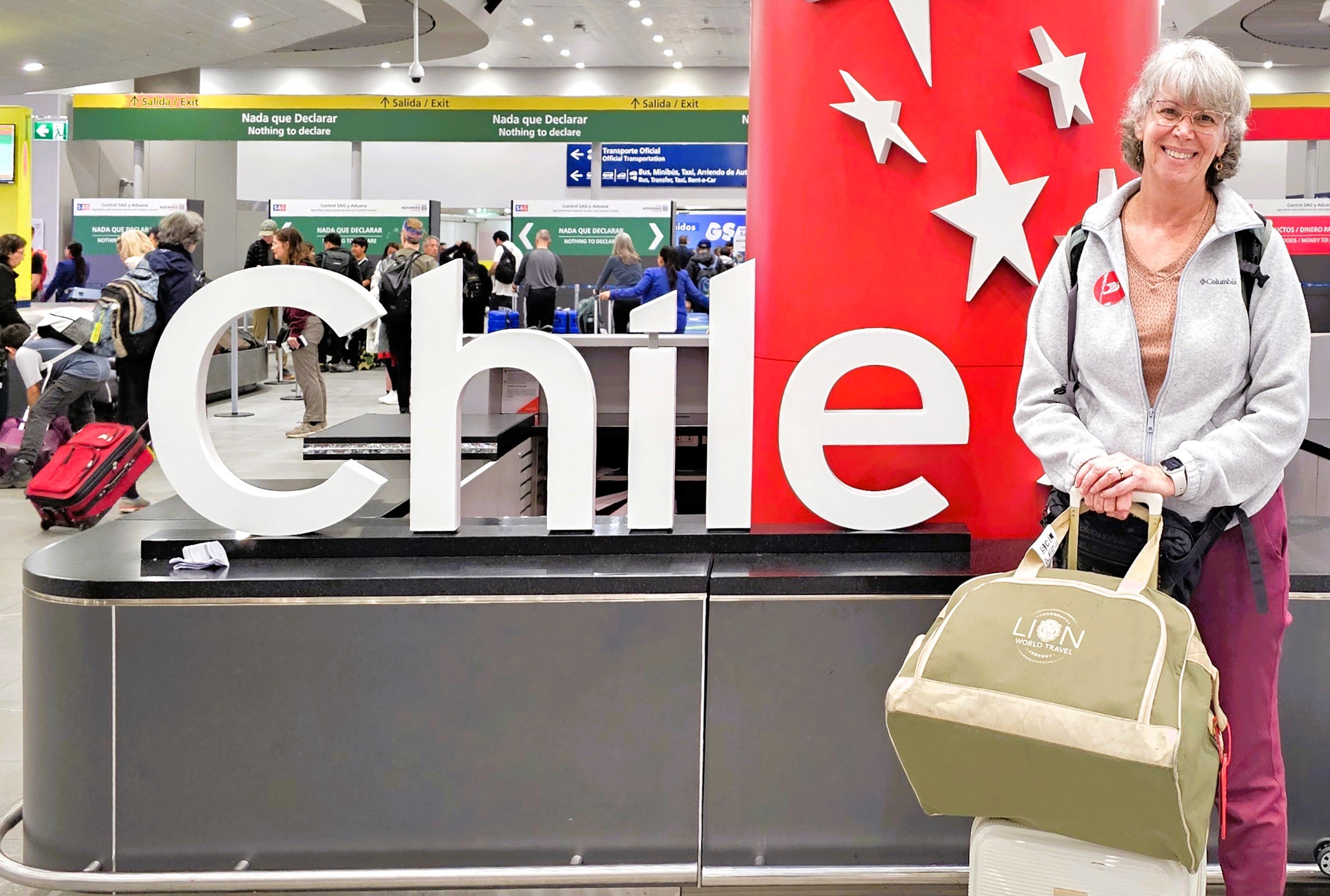
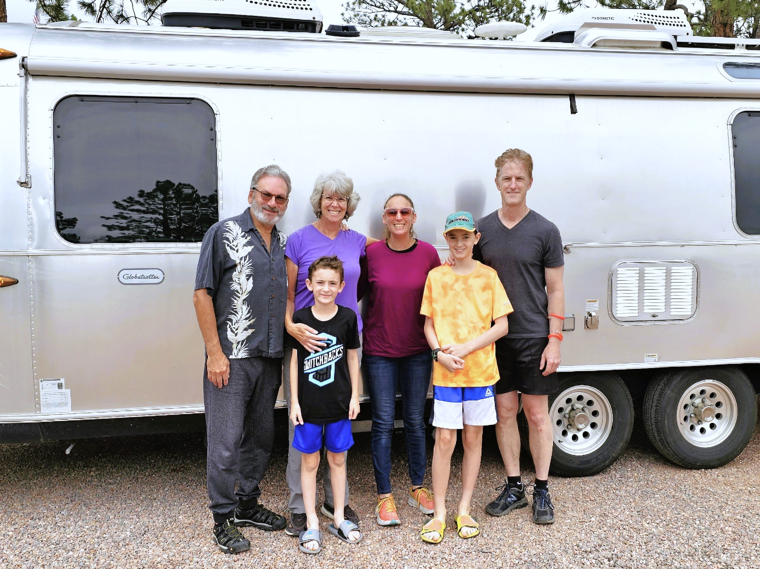
We were about to experience this, first-hand.
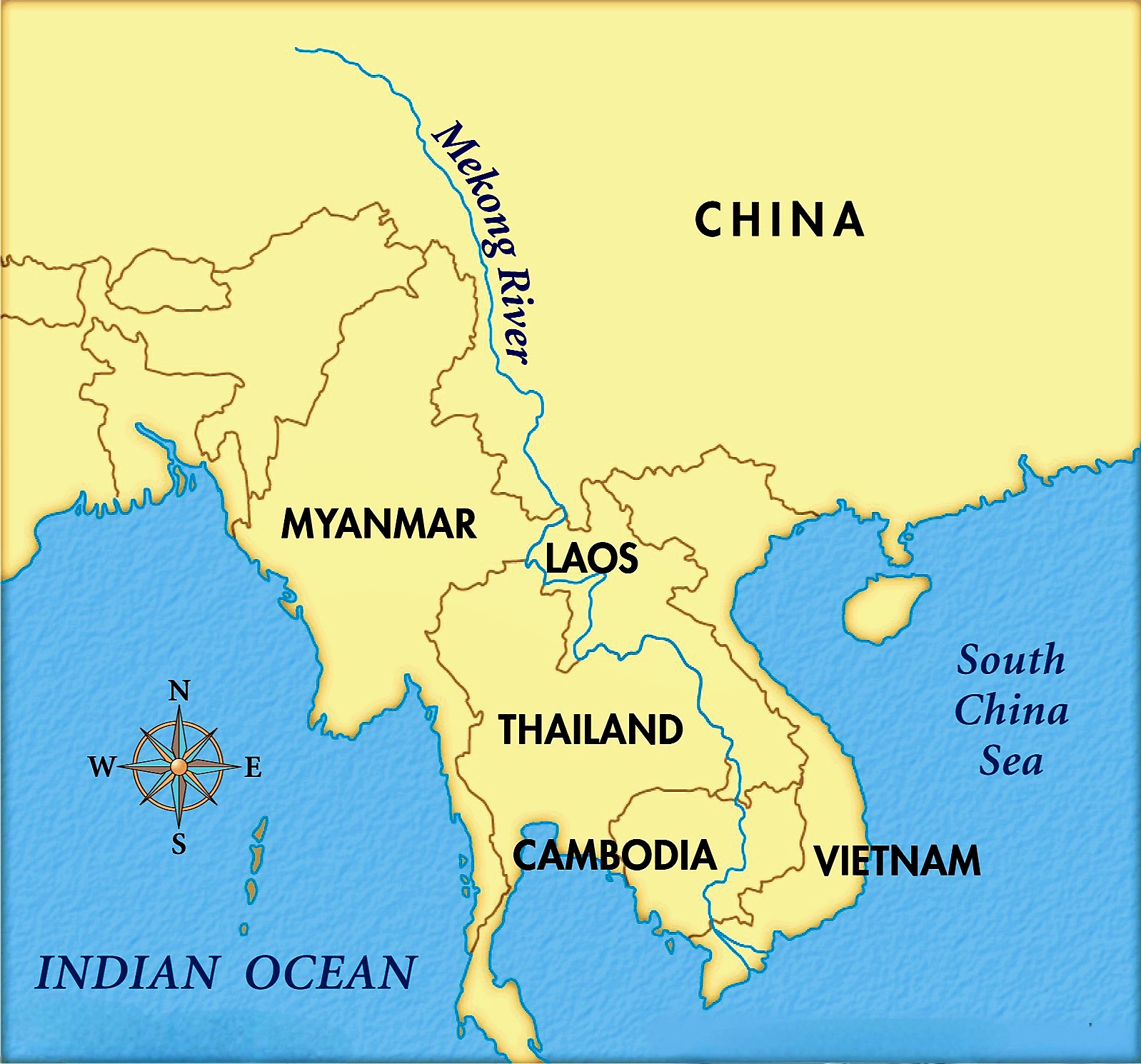
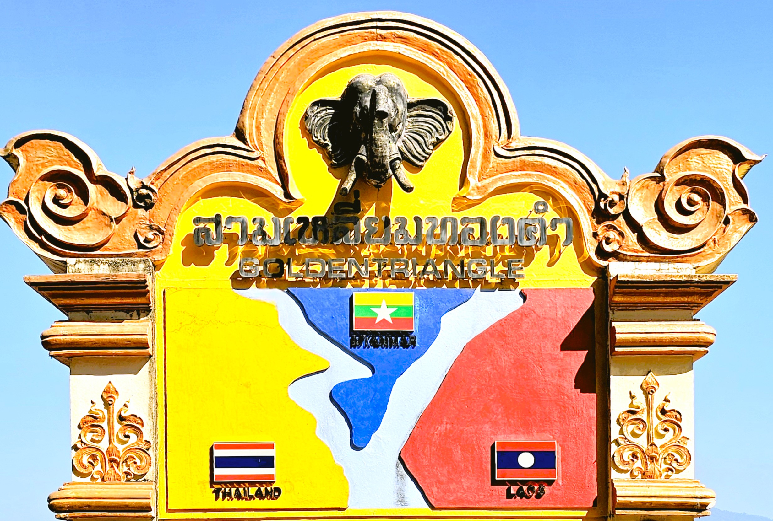
Our Ancient Kingdom itinerary carved out a few days to explore the ancient capital and UNESCO World Heritage site of Luang Prabang and its ethnic surroundings.

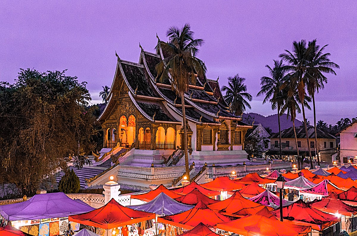
Leah and I got our bearings during our group’s late-day orientation walk through the historic district, where we admired Wat Sensoukharam,
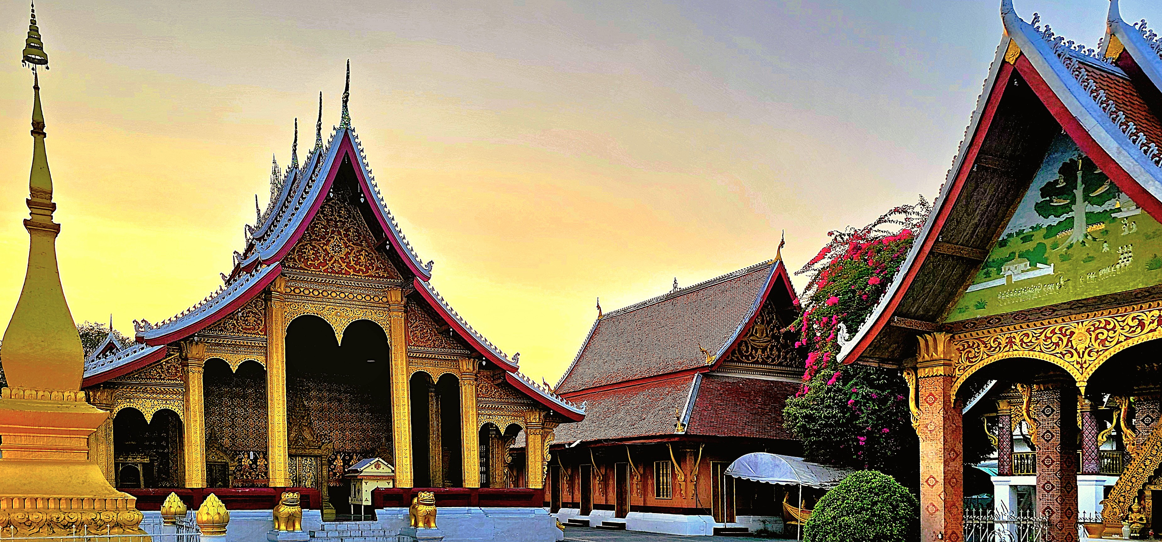
built in 1718 during the reign of King Kitsarath, and restored to its current state in 1957.
Also known as Wat Sen, the temple is believed to have been built using 100,000 stones from the Mekong River, giving the temple its name, roughly translating to Temple of 100,000 Treasures.

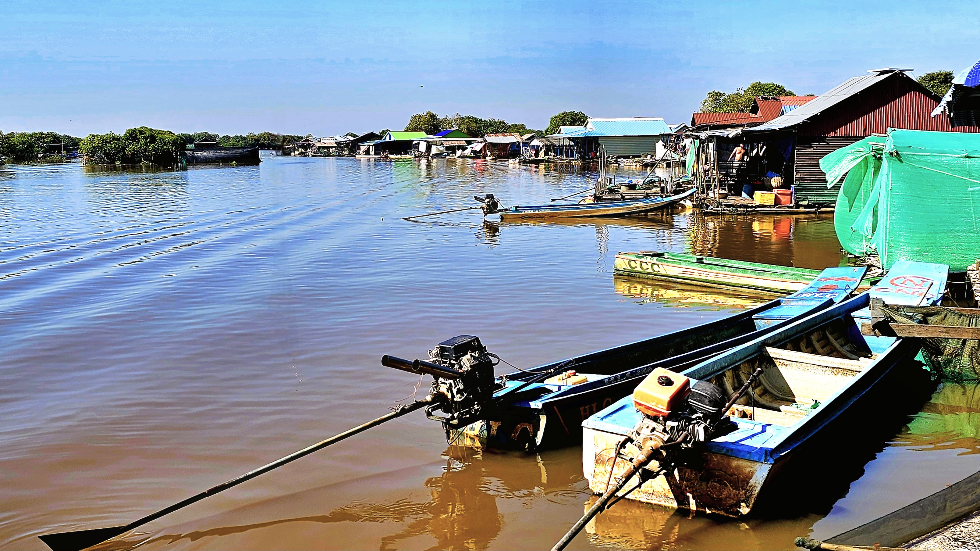
With the sun setting on the Mekong,

and commuter traffic saturating Sakkaline Street,

the sidewalk eateries busily prepped for dinnertime crowds.
Down the road, merchants appointed their stalls with purses, pottery and paintings before the weekend procession to the night market, where family and friends flocked for a social evening.
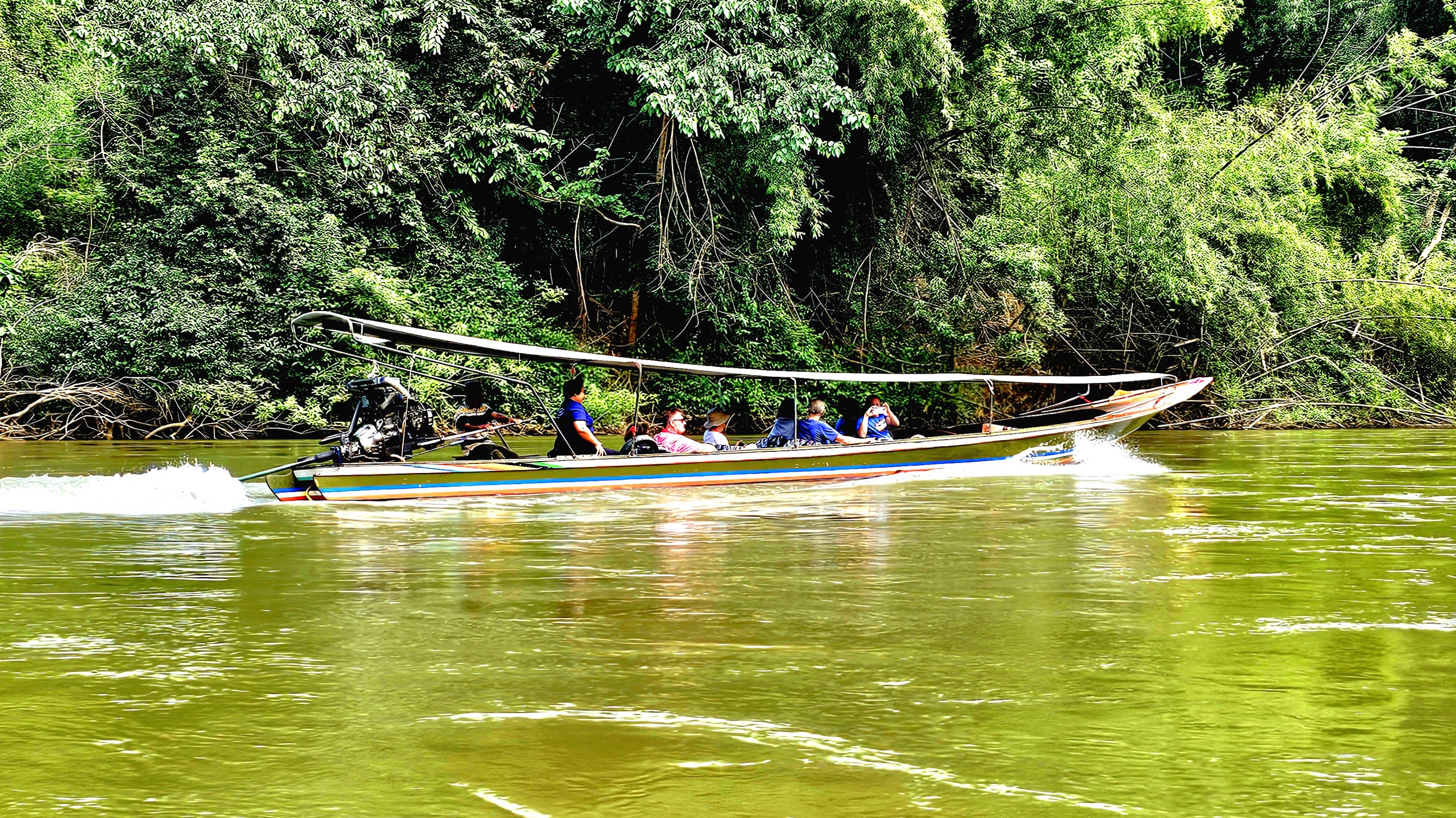
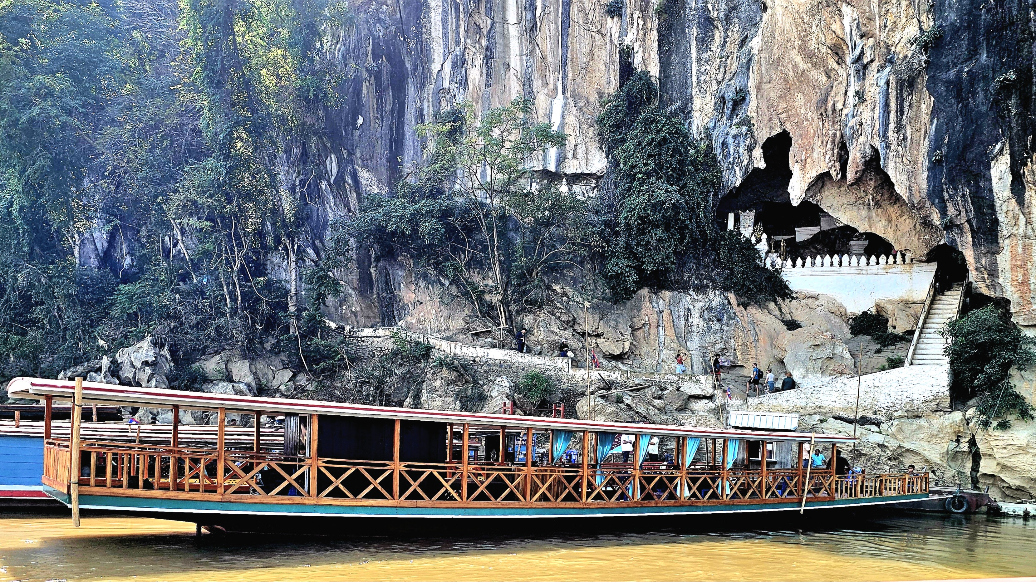
The following morning, we scrambled into jumbos,
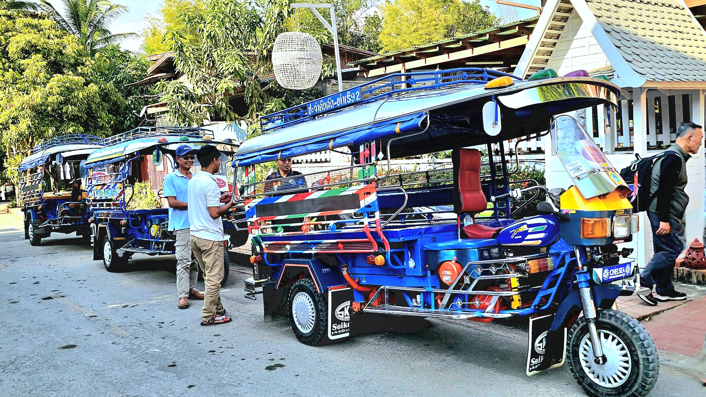
and rode to the Royal Pier,
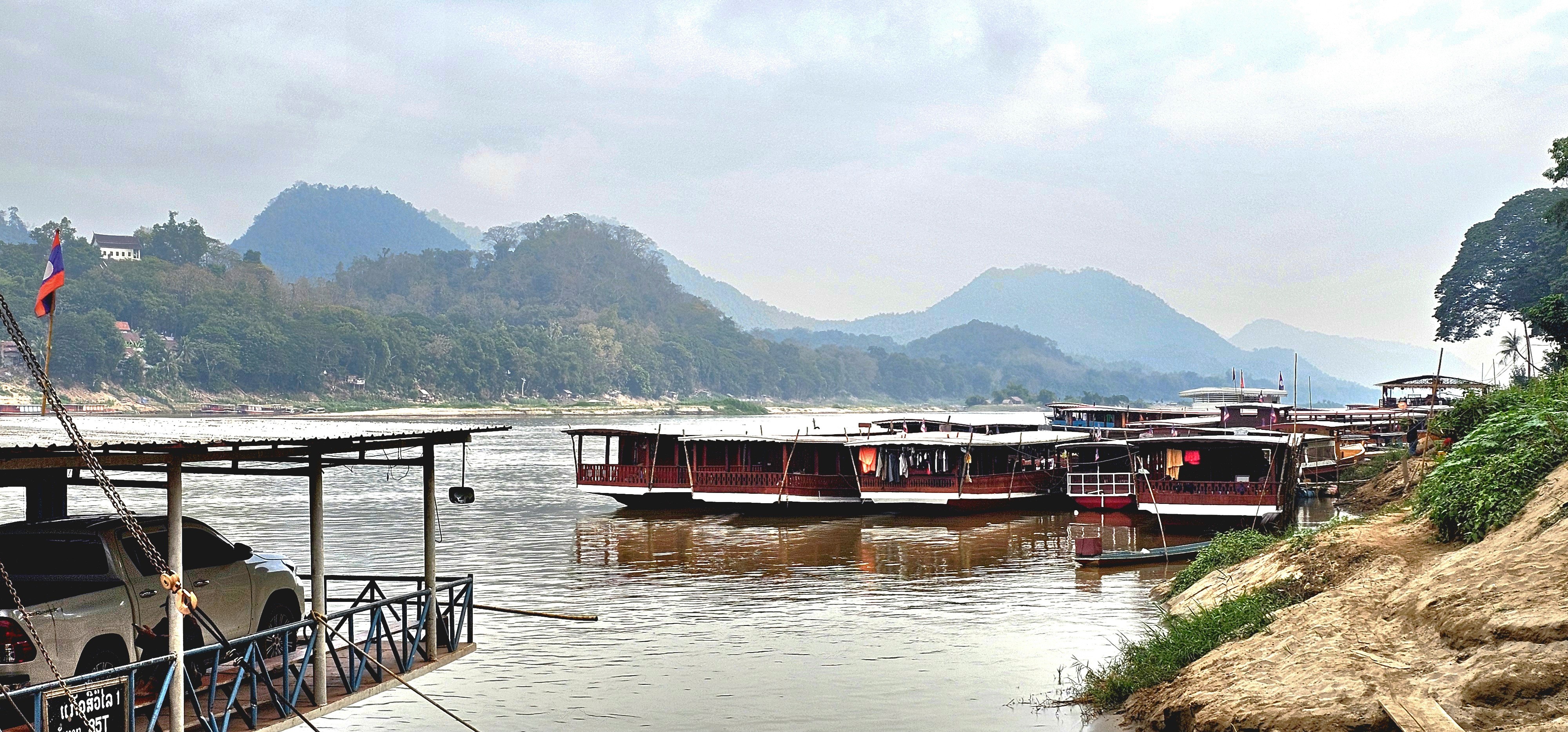
where we boarded a traditional wooden boat that transported us upriver to a nearby Buddhist temple on the western bank.

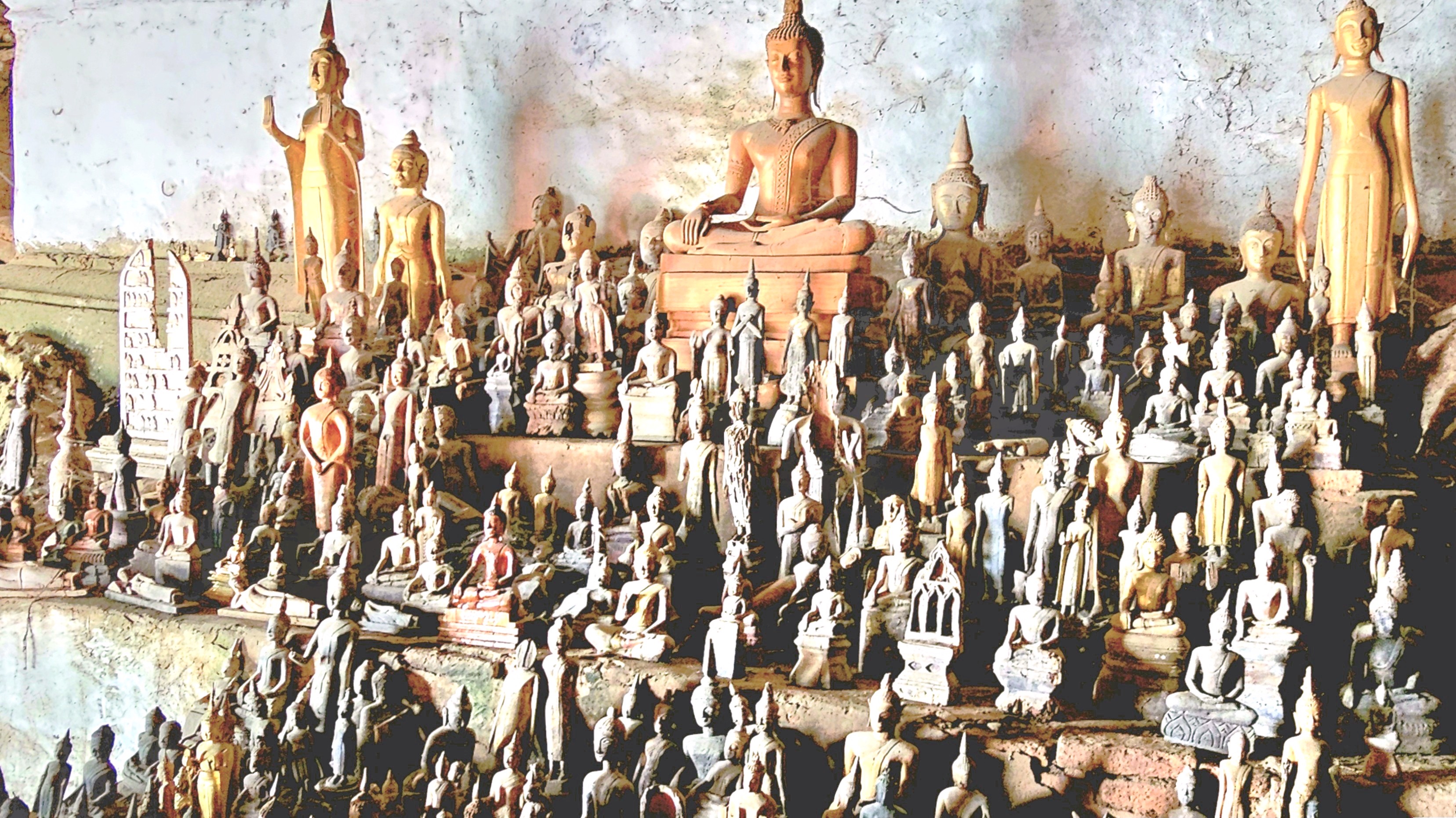
We roamed the modest temple grounds, surrounded by ramshackle monastery dorms,
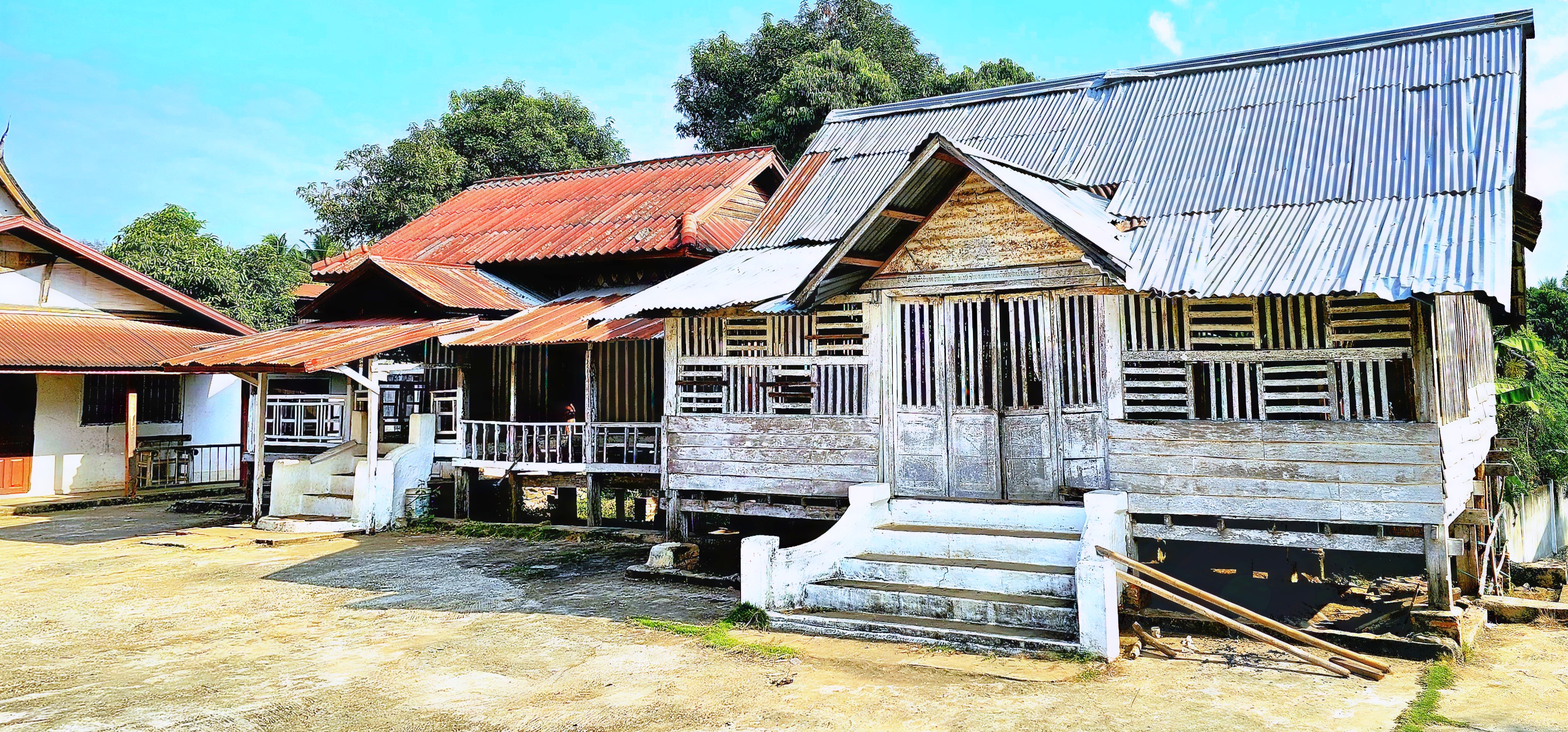
and temple buildings that had long forsaken its gold leaf …

for peeling paint.

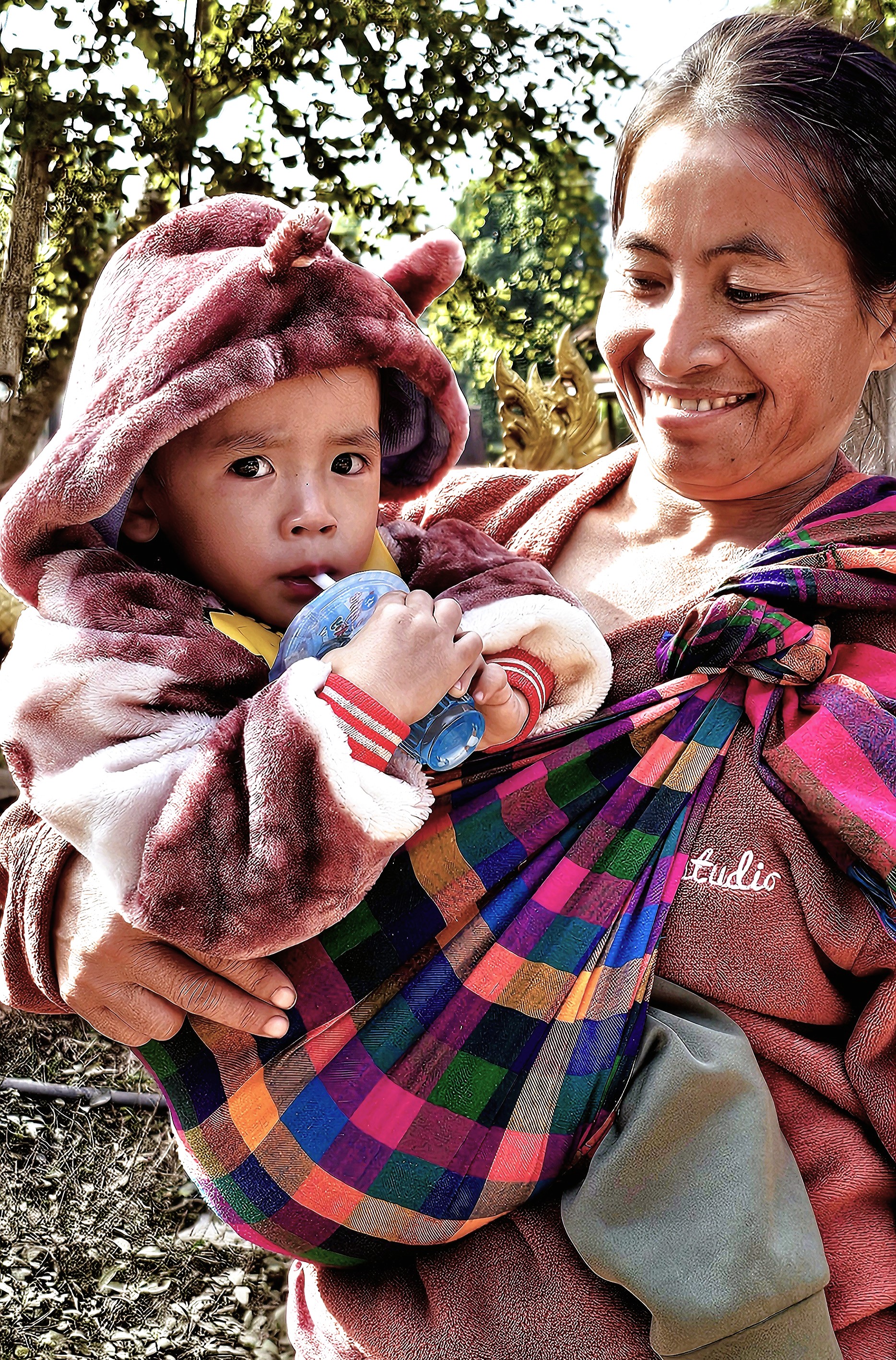
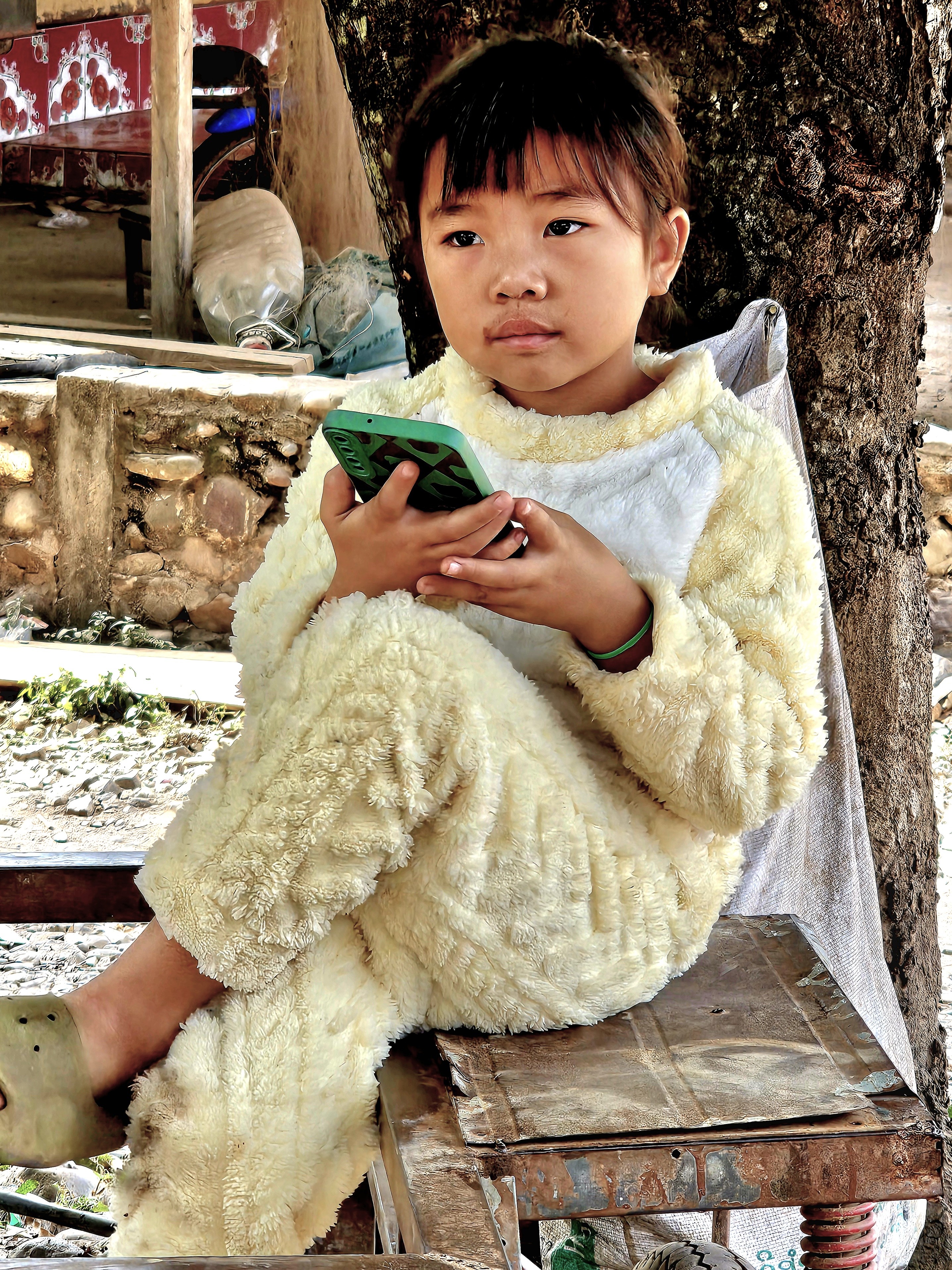
Just beyond the temple walls, a steady show of curious children received us,

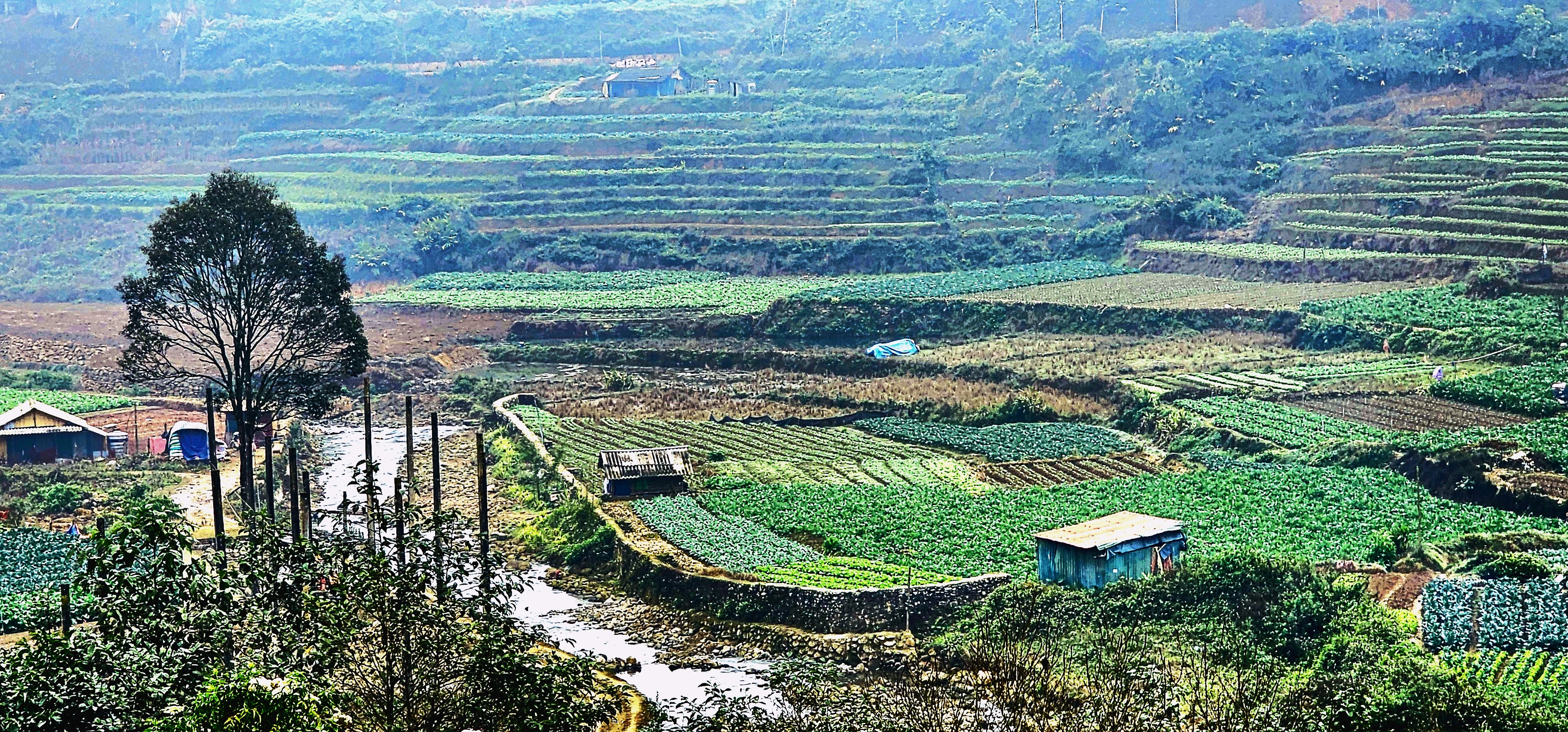
acting as welcome ambassadors to Mouangkham Village,

an O.A.T.-supported community that was eager to share its hospitality.
The villagers have banded together to literally sustain themselves in a grass roots business by producing khai paen, a dried, river weed delicacy for wholesale food markets.

We observed a demonstration: from washing and rinsing,

to beating the weed into submission, until it’s been reduced to a fine green veneer of fiber.

It didn’t look overly complicated, requiring just enough finesse to master the battering. Only a scattering of thinly sliced tomatoes, shredded garlic and a sprinkle of sesame seeds was needed to complete the process.
My best effort was donated to the local economy.

As a cottage industry, it may not seem like much, but it’s enough to provide for toddler high-tech.
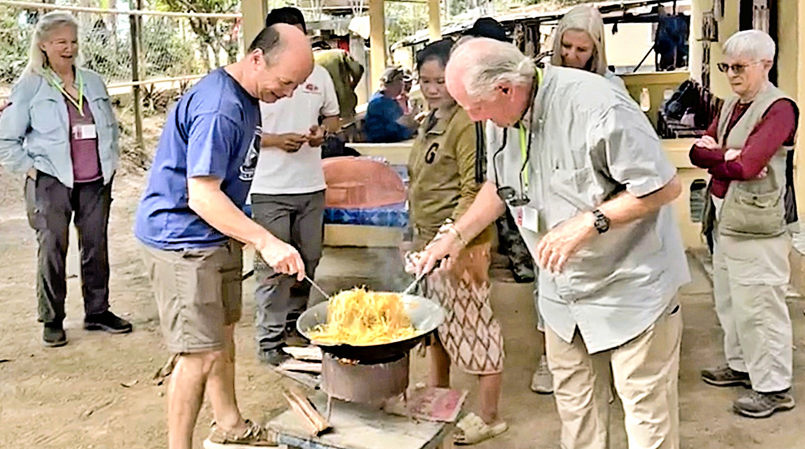
The following day, we boarded a bus to Mouang Khai Village for A Day in the Life experience among Lao, Khmu and Hmong people, who share humble homesteads,

but celebrate a rich cultural heritage, like playing the qeej (a reeded bamboo instrument) during a teenage courtship dance.
The village chief hosted a traditional Lao lunch, cooked by us with appropriate guidance…
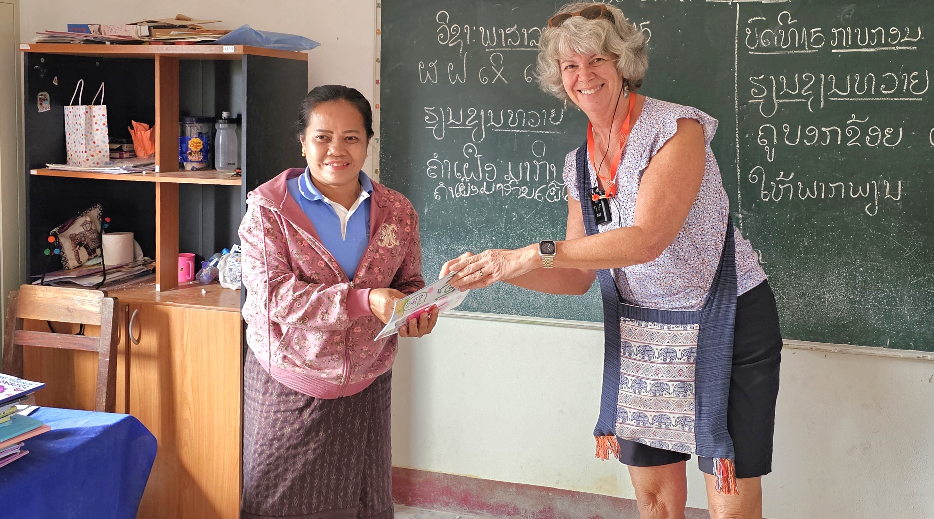
but the highlight of the day was attending primary school with a dozen youngsters at their Grand Circle Foundation-funded, one-room schoolhouse, where we were exuberantly serenaded,
while the older children…


looked after the younger children.

After a special presentation to the village teacher of 15 years,
we were escorted back to our bus.

It was a special day-in-the-life.
By reaching out and connecting with communities around the world, we learn to appreciate firsthand, not only our diversity, but our commonality — and the understanding we gain can be life-changing.