Clear Lake Mistake

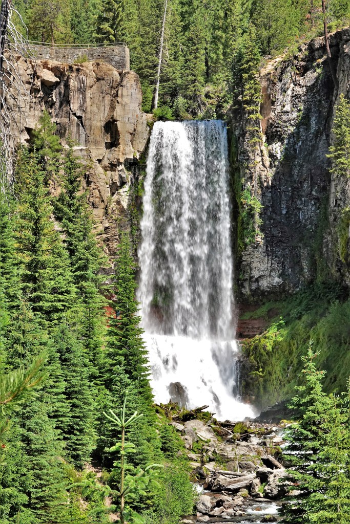
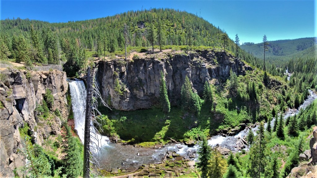
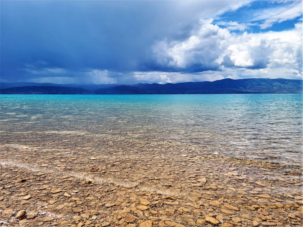
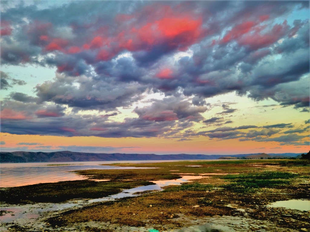
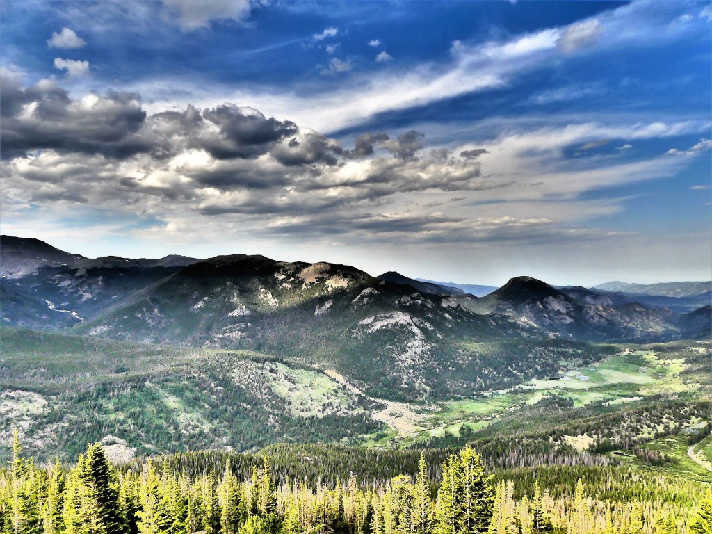
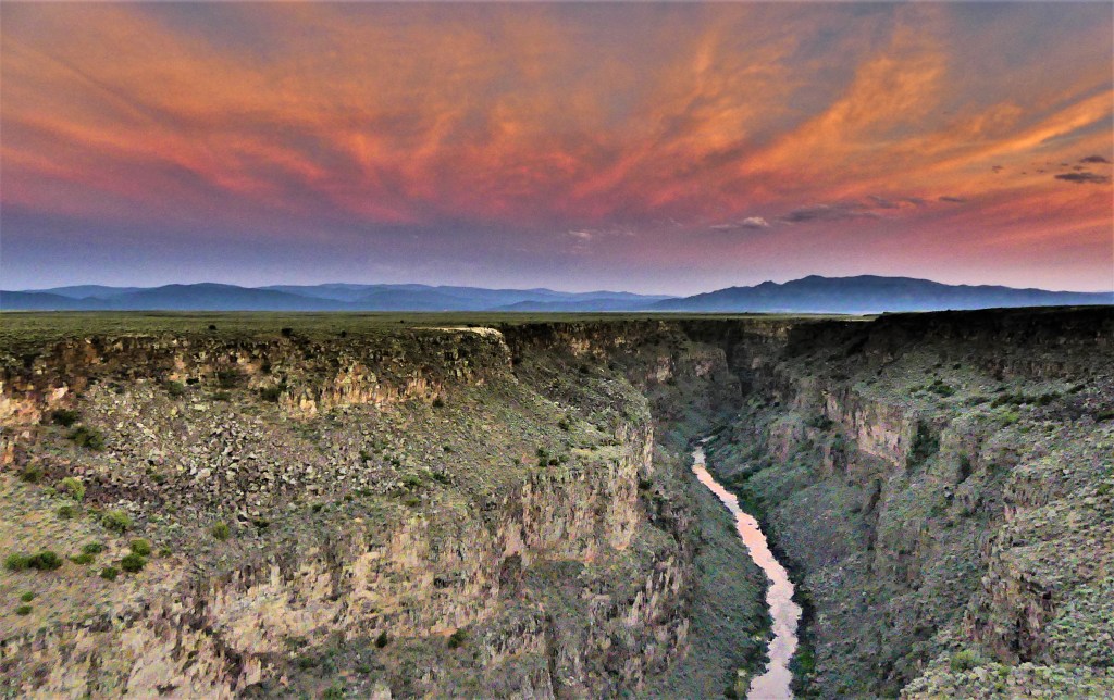
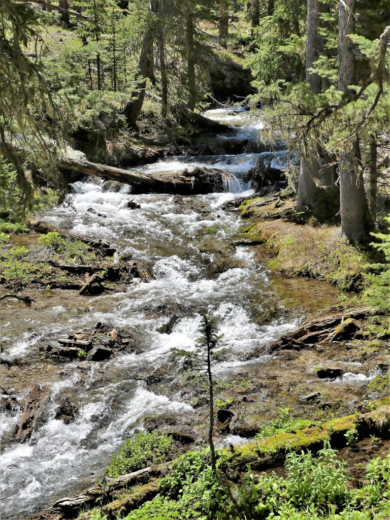
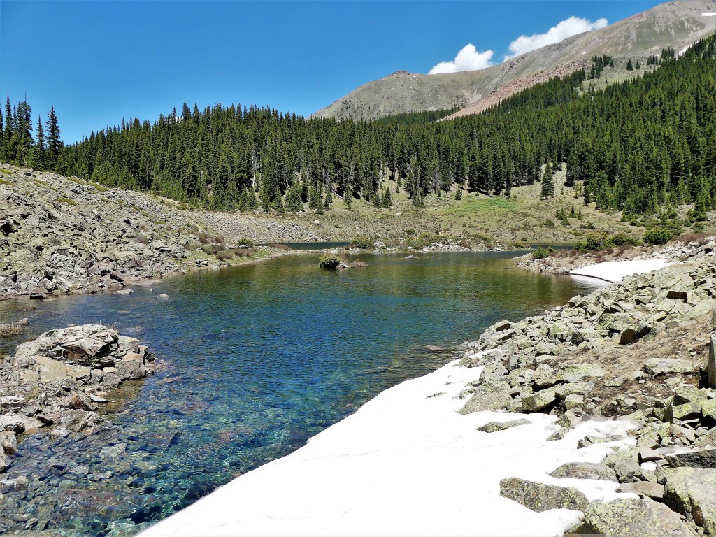
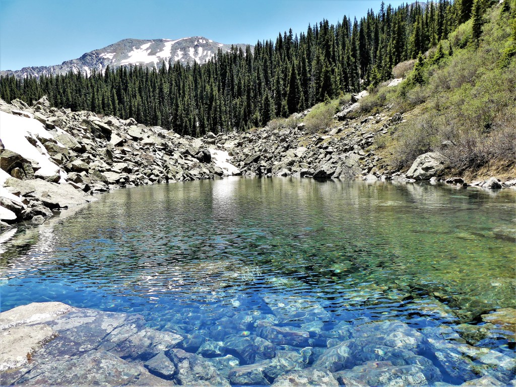
There is a lake in Oregon’s high Cascade Lakes region that was created 3,000 years ago by a lava flow that burned and dammed a forested valley. Then it filled with fresh spring water from Mt. Washington snowmelt and the McKenzie River springhead that percolated up through pumice and lava rock. The water is so pure and cold enough throughout the year that algae has no chance of growing, allowing remarkable visibility–up to 100 feet below the water’s surface. Hence, the name Clear Lake.

But even more remarkable is the standing forest of sunken petrified trees that time and alpine freshwater has preserved in pockets of the lake.

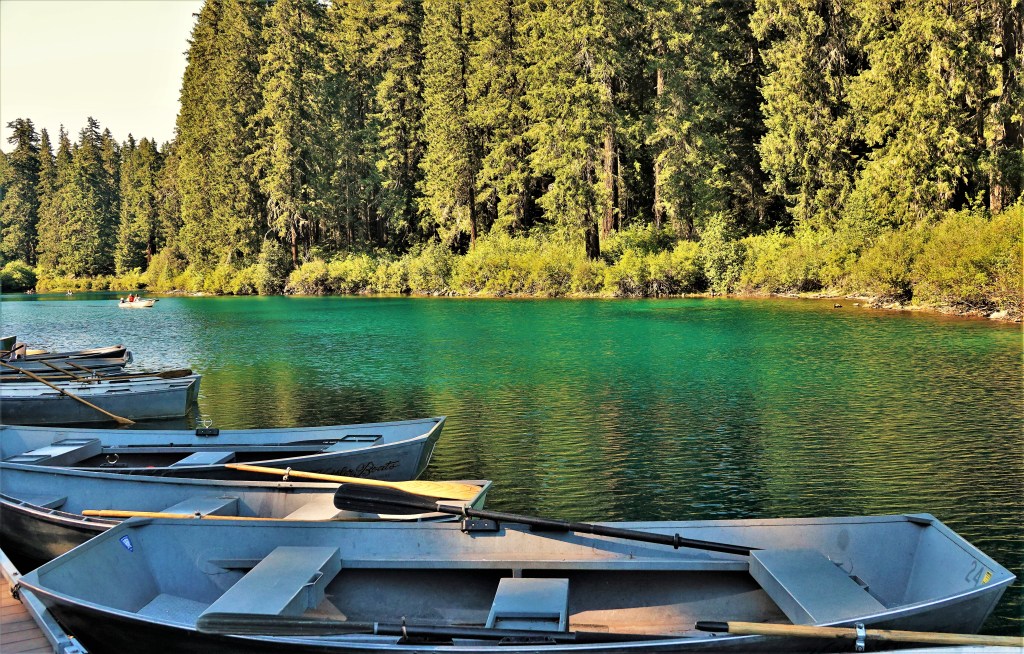
We arrived at Coldwater Cove to survey the scene with the option of launching our origami kayaks to explore the depths for its underwater secrets.

But Leah preferred to hike the 5-mile trail around Clear Lake, thinking that the water would be too cold.

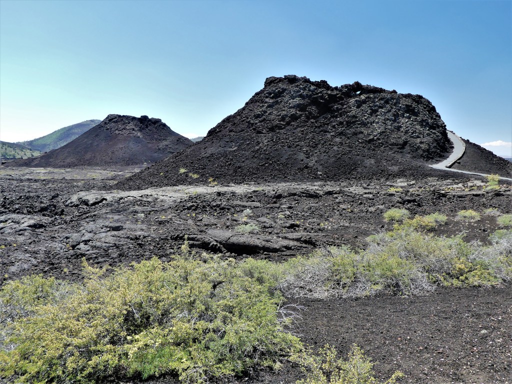
So we set about on foot, through the lava fields on the eastern shore, and walked around the south side of the lake, crossing the McKenzie River…

to an inlet where the water was mirror still.

At this point, I was perfectly happy to backtrack to the pickup to reconsider our kayaking option, but Leah wanted to finish the loop and talked me out of it.

The trail hugged the western shoreline, providing amazing views of the water…

until we reached the resort area, where a boat concession reminded me of my missed opportunity

to be paddling on the open water with the others.

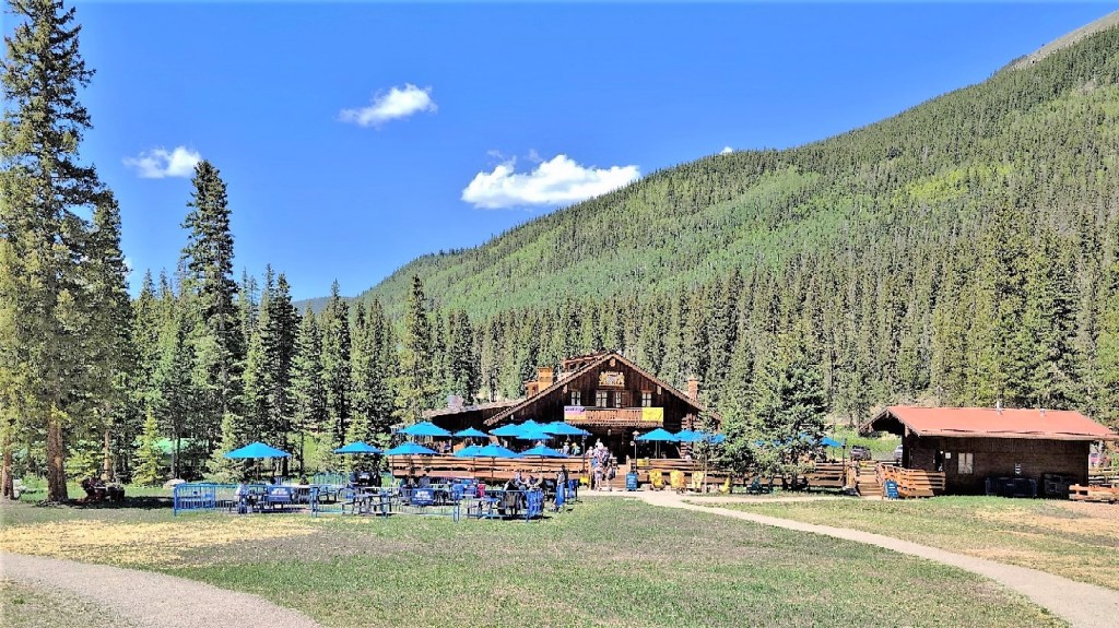
We pit-stopped at the resort store and filled our water bottles before pushing on, past the lakeside cabins to complete the second half of the hike…with the light beginning to fade.

Just as I was wondering out loud that we’d lost sight of the lake, we came to a bridge over a creek that directed us to the McKenzie River.

“I really think we should take the bridge and follow the water, because the trail we’re on is taking us away from the water,” I advised.

“But there was never any indication that we ever wandered off-trail,” Leah countered, walking past the bridge, “and besides, if that was the way back, it would be marked that way.”

“Okay, but if this trail is supposed to be a lake loop, then where’s the lake?” I followed up, as I was following her footsteps.

“How should I know? I’ve never hiked this trail before. Besides, you’re just bitter,” she said.

“Fine! Have it your way! But for the record, I think we should have taken the bridge,” I reiterated.

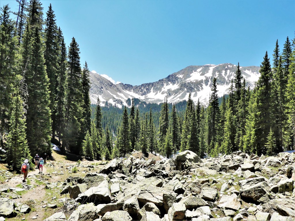
We continued to walk for a mile or so until we noticed changes to the forest. The trees grew thicker and taller, and light was struggling to penetrate a dense canopy of spruce. The mosquitoes must have sensed my uneasiness; they were feasting on the backs of my legs.

According to Leah’s iPhone, we had already exceeded what was to be a 5-mile loop.

“I think we’re lost, and if I only had a spark of phone service, I could prove it!” I said.

This is the map I could have downloaded if only I had a signal.

“Do you want to go back and take the bridge?” Leah offered.

“Are you serious or seriously joking?” I asked, wondering if Leah was really surrendering.

“In fact, we could also walk back to the resort, and bum a ride somehow,” she suggested.

“Who in the world is gonna pick us up and drive us back to our truck?” I sighed.

“You never know,” Leah snapped, “I can lure them with my wily ways.”

That’s when I heard the sound of traffic. There was a whoosh and it was gone. Then another whoosh, and another. The road had to be close by, but now the trail was leading us to the right, away from the road noise, but onto a single-lane gravel road with marker NR-2676. We followed the road north and around the bend, which brought us to a McKenzie Hwy turnout.

“Do you know which direction to go?” Leah asked.

“We have to cross to the other side to go back to the resort,” I advised. “Maybe you’ll have a chance to charm a ride from someone who’s rented a kayak for an hour or two.”

There wasn’t much traffic in either direction, which meant the park at 7PM was past its peak busy period. We walked along the roadside, occasionally stopping to flag down oncoming traffic but no one had any interest in slowing down.

“You realize it will be dark by the time we reach the truck,” I figured.

“What if I fake a limp, and maybe someone will feel sorry for us and stop.” she said, badly imitating someone with a bad knee.

“I’m not sure I want a ride from someone who pretends to feel sorry for us,” I mused.

That’s when a gray Toyota Avalon sedan slowed and pulled off the road, fifty feet ahead of us.

“I told you it would work,” she declared.

Leah didn’t know whether to run, or limp, or limp-run.

A burly middle-aged man with thinning gray hair exited his car, and opened the rear door.

“I’m gonna make some room in the back for you. Don’t mind the dog on the floor. He’s old and harmless,” he assured.

Leah took the middle seat beside his sullen son, and I wedged myself behind the driver’s slouching seat. A mangy terrier sat between our legs while our driver drove us to Clearwater Cove where our truck was parked.

His mother was animated in the front seat during the ride. She explained to us how special it was to “see the sights of nature” with her family.

We were so relieved to get back to the truck, and so was their dog, because It followed Leah out the door and refused to listen to its owner, our driver. Leah and I spent the next 10 minutes chasing, corralling, and eventually luring the dog back to the car while everyone watched from inside the car.

Nevertheless, Leah and I are immensely grateful to you and your family for stopping to help us in our moment of need. You saved us the time and trouble of walking an extra 3.5 miles.

We certainly need more moments like this in our lives, if only to prove to ourselves that humanity is about community, and mistakes make us more human.

P.S. I regret that I never learned your name during our brief exchange, but I remember giving you my card. If by chance, or design you happen to be reading this, I hope you’ll post a comment so I can thank you by name.

Land of Landscapes and Landmarks

If the Three Sisters are the most dominant feature of central Oregon’s landscape, then we must be in Bend. In fact, these three volcanic peaks comprise the centerpiece of the Oregon Cascades.

Leah and I stopped at a roadside turnoff to capture their beauty while on our way to Broken Top–a damaged volcano who forever defends his spinster Sisters from the 6-inches-per-day glacial advances of Mt. Bachelor.

Our mission was to drive and hike our way to Tumalo Falls to admire a waterfall plunging 97 feet…

over a channeled canyon wall…

that was shaped by ice 20,000 years ago,

and to our benefit.

Leah and I followed the 6.5-mile Tumalo Creek Trail upstream for a short distance before turning back.

Nearby, under the watchful gaze of Mt. Bachelor sits Little Lava Lake–created by its ancient lava flow,

and the origin of the Deschutes River, which runs through the city of Bend–providing its residents of all ages with a familiar recreational pastime.

Which begs the question,

“How does anything get done in Bend, if everyone’s out on the river?”

Equally as telling that we’re in Bend is our visit to the last Blockbuster on the planet,

where hundreds of DVD-heads, curiosity seekers, and nostalgia collectors drop by daily…

to pay homage to a cultural icon by capturing a selfie at the entrance…

or participating in the next 80’s fashion redux.

It all adds up to good times, and a good reason to Bend over backwards to visit this outdoor wonderland.

Crystal Blue Persuasion

Leah and I needed a useful midpoint between Bruneau Dunes and Bend to divide the drive if we were heeding my tank-of-gas rule. And because I draw the line at driving no further than a full tank of gas will carry us, we were limited to a 350-mile range. In many ways, Crystal Crane Hot Springs offered the perfect locale: it was geographically convenient; it provided full hook-up; and it was also therapeutic.

We arrived at 1:30 PM and Leah entered the office to check-in.

“I’m afraid you’re too early,” said the clerk. “Check-in isn’t until 3:00.”

“But we reserved site #6 and it’s empty now. Why not allow us to pull into the space?” Leah asked.

The clerk was unmoved. “Our policy is that check-in is 3:00—no sooner—so, no, I can’t let you into your space at 1:30. However, you’re welcome to buy a guest pass for $10 if you want to use the facilities while you’re waiting.”

Leah returned to the truck with the news. “Are you kidding me!?” I exclaimed. “I’m cooking out here, already. Why in the world would I want to marinate in a 98° hot spring when it’s 102° outside? All I want to do is hook-up the electric to the Airstream and sit under the air-conditioning.”

“I tried,” said Leah, “but we need to wait another 90 minutes.”

“Ridiculous!” I remarked.

This stop was always intended as an overnighter, so there was never a need to unhitch—just plug and play. Meanwhile, the Airstream doors and windows were opened wide to circulate fresh hot air into a cabin that had already reached the outside temperature and cooling the space would take hours.

At 2:30 PM, I entered the climate-controlled office and approached the counter where a large, buxom woman with a mole inside her dimple was standing behind a plexiglass barricade. Rather than argue my case, I flattered her to the point where she conceded, and gave us access to the space a half-hour early.

With the sun setting and the day’s heat dissipating, the spring had become a hive of activity. It was finally time for us to ceremonially cleanse ourselves of all the dust and grime and sand that followed us through 5,000 miles of travel between New Mexico, Colorado, Utah, Wyoming, and Nebraska.

Hot, Hot, Hot

Extreme heat is baking the northwestern states in July, and historic highs are being set with every new day. Murphy, Idaho is no exception. Triple-digit heat has become the new normal, and we were about to cross that threshold, as we continued our journey across the Snake River Plains to Morley Nelson Snake River Birds of Prey, where temperatures reached 104° the other day with no foreseeable break in the heatwave.

Originally, the plan was a sound one–we would travel across Idaho, from Craters of the Moon to visit a raptor sanctuary. But at the time, we never considered that booking a Bureau of Land Management campsite (the only campground in the vicinity) would expose us to unbearable heat inside the Airstream, as most all BLM campsites are primitive–meaning NO services.

Leah and I needed to adjust our plans accordingly and without delay if we were to remain on course and on schedule, but we had to find a worthy substitute for the next couple of days. We thought about staying in Boise (it was nearby), but we had little interest in visiting Idaho’s largest city (pop. 230,000); we were looking for something more adventurous and outdoorsy.

After checking area state parks, I discovered that Bruneau Sand Dunes State Park was close by (1.5 hours away) and available with water/electric hook-ups. There would be no sightings of prairie falcons or golden eagles at Bruneau Sand Dunes, but if we closed our eyes, we could imagine them in air-conditioned comfort. …and lots of sand…again (see Great Sand Dunes National Park).

We arrived to a nearly empty campground on the edge of the “tallest ‘single-structured’ sand dune in North America,” with a peak rising 470 feet above the surrounding desert floor. The park also touts its own observatory within a Dark Sky Place, searching the sky with Idaho’s largest telescope (25 inch diameter) for public viewing.

My first inclination was to compare it to Great Sand Dunes National Park, but I was determined to curb my skepticism and see what surprises awaited us inside our new backyard/playground…for the meantime.

The following day, we went exploring. Unlike a couple of coeds and a dog, we immediately dismissed the notion of climbing the dunes in extreme heat.

We were looking for a more sedate hike that required less elevation. Rather than follow the 6-mile self-guided hiking trail step-by-step, we improvised, skipping the Big Dune ascent, and followed the trail around the dune base,

where we discovered water, and that made all the difference.

We circled the lake…

and dunes…

and crossed over a few of the lesser dunes,

until we reached the observatory.

I was eager to stargaze that evening, but the observatory was closed until further notice due to COVID-19. Unfortunately, the only celestial offering on-site was a human sundial created by Girl Scout Troop 140 in 2015.

I was curious about the design, but I required a human to test its accuracy.

Leah stood on the current month (July), for the sun to cast her shadow on the current time of day. Checking my watch, I recorded 10:24 AM, which from the looks of her shadow, validates her as human and punctual.

The rest of the day, we played by the water, and enjoyed the air-conditioned comfort of our Airstream, never giving Morley Nelson Snake River Birds of Prey a second thought.

Craters of the Moon

Craters of the Moon is a deceptive name for a National Monument and Preserve. After all, the craters of Idaho don’t resemble the surface of the moon.

On the contrary, the upheaval of 600 square miles of basaltic lava as recently as 2,000 years ago was caused when the Great Rift fissure reawakened. Nevertheless, it was NASA’s preferred location to train Apollo astronauts to search for rock specimens because its harsh terrain is akin to a lunar landscape.

This patch of scorched earth along the Snake River Plains is still considered active, although unlikely to erupt in the next hundred years or more–which gives all of us plenty of time to explore the lava fields…

for stellar examples of lava craters,

lava tubes,

(that’s Leah, standing top left)

lava cascades,

spatter cones,

and cinder cones.

Trudging up the steep gravel pile to the summit of Inferno Cone gave us sweeping views of the Snake River Plains,

an overview of the volcanic basin,

and a distant impression of the Pioneer Mountains.

Next attraction to explore on the 7-mile Loop Road was the Indian Tunnel and neighbor caves, stitched into an underground network of collapsed lava tubes.

Before arriving at Indian Tunnel, Leah and I consulted a ranger at the Visitor Center who helped to plan our day. She also permitted us to enter Indian Tunnel (stamping our park map), but not before allaying her suspicion that our clothing, shoes, and all personal accessories were carriers for spreading white-nose syndrome to a vulnerable bat population.

Traditional stairs and railings led us to the brink of the cave, but we were soon on our own–finding our footing over and around immense basalt boulders–as we descended deeper into a pit surrounded by colorful walls.

Available light came from a open dome whose ceiling had crumbled hundreds of years ago.

We scrambled through rock piles, feeling our way through the tunnel, until we reached another lit opening, signaling our exit.

We rounded out the day’s visit with a stop at Devil’s Orchard, a nature loop trail winding through cinder beds and hearty vegetation,

although, flourishing flora was more the exception than the rule.

The following day, Leah and I drove through the Craters of the Moon Wilderness,

taking a dusty, rutted, gravel road to the edge of civilization.

We were completely isolated in a desolate wasteland. Only the livestock had a half-hearted interest in our visit.

We were eager to find something significant on the drive, but we quickly reconsidered after discovering Piss Ant Butte in the distance.

At last we reached our objective: the end of the road, and Snowdrift Crater, a landmark detail on our map.

Back at Arco, I captured the edge of town beneath a cloudless sky, and I had low expectations for any kind of a sunset.

And then the winds pick up…

They’re gusting at 40, 50, mph…

and baby pinecones are peppering the aluminum rooftop…

and a storm cloud passes directly overhead, shooting crazy lightening…

and Leah is tracking the storm on her phone…

and the TV announcer is cautioning viewers to prepare for tornadic thunderstorms…

and I’m standing outside with my camera, wondering if the lava fields have come alive, after all.

Flaming Gorge

Kissing the edge of the Ashley National Forest at the intersection of Wyoming and Utah lies Flaming Gorge.

Once underwater and formed over a billion years ago, the Precambrian Uinta Mountains showcase the dazzling red cliffs of a glacial gorge cut from a river system that also carved the Grand Canyon, courtesy of the Green River.

The Green River ends at the dam wall constructed in 1958,

and completed in 1964 as one of four storage units for the Colorado River Storage Project.

The dam impounds Wyoming’s largest reservoir,

providing water storage and hydropower generation to seven states,

and offers 91 miles of water recreation bliss behind its wall.

But scenically, the clear cool water is the perfect foil for a mesmerizing landscape of vivid colors and mountain formations.

Following the footsteps of Major John Wesley Powell and company, who explored the Green and Colorado Rivers in 1869, Leah and I set off on our own geologic survey

for a closer inspection of castle rock…

folded rock…

limestone towers…

and notched peaks…

which is more than enough to inspire future geologists.

Bear Lake Blues

There’s a lake that straddles northern Utah and Idaho that boasts a turquoise-blue color that rivals any Caribbean beach, and it’s all due to the refraction of calcium carbonate (limestone) deposits suspended in the lake. The intensity of the color also shifts with the sun’s position, the wind direction and the current, to where it becomes dizzying, trying to frame and capture patterns of varying shades of blue through a camera viewfinder.

Leah and I camped in two of several neighboring Utah State Park campgrounds to round out our visit. When initially making reservations, the Rendezvous Campground only had openings for the last two of our three nights, so we took up residence at South Eden Campground on the east side for the first night, with an understanding that it was a primitive site.

To our surprise, the facility had been upgraded with water and electric service over the past year. Of course, we would have preferred to stay for the duration of our visit, but that’s not how reservations work at a busy summer resort.

Moving to a new site after one day was not a relaxing proposition, but with so much running around over the past two months, we owed ourselves some down time from traveling, and Bear Lake seemed like a good fit, despite the campground fuss.

Aside from the splendid color of the water, our beach was far from beach towel-friendly, with broken shards of shale, shell, and limestone liniing the shoreline

and beyond, making hard-sole, water-shoes essential footwear.

But what mattered most to me at the moment were the clouds that were moving in and out of view.

Would there be enough cloud cover to support a world class sunset?

Armed with a camera and a silent prayer, I waited anxiously on the beach as the sun kissed the sky goodbye.

And then came the explosion I’ve come to expect. I would have my sunset, after all!

The following day, we moved to Rendezvous Beach on the west side of the lake, where the accommodations were as advertised: modern facilities and tighter sites,

followed by uncrowded sandy beaches? Where were all the people?

I later learned that all the “missing” were running their boats up the lake from the Bear Lake State Park Marina. And I’d like to personally thank each of them for the onslaught of wake that made for an average time kayaking in open water.

The final evening of our stay, we drove into Laketown for ice cream and a sunset. We found a quiet side street that dead-ended at the waters edge, and we waited…

“Not as brilliant as the other night, but not terrible,” Leah assessed. “C’mon, we need to go before the town shuts down and we miss our chance at ice cream.”

“Don’t be in such a hurry. Wait for it. Otherwise, you’re gonna miss the best part. The sky is still developing,” I predicted.

I got the sunset I wanted, but not the ice cream, as most of the town had shut down by 9 PM. With only one late spot open, we opted for flavored milk shakes and called it a night.

The moral of the story: A Saturday Night Sunset beats an Ice Cream Sundae!

Ode to Scotts Bluff

While spending time with friends in Cheyenne WY, Leah and I scheduled a side trip across the state line to visit Scotts Bluff in Gering, NE. Nebraska was not originally part of our travel plan, nor did we consider Nebraska when we set out to explore America four years ago, but we caved to public opinion and we are now happy to endorse Nebraska as a state with a meaningful attraction.

This Bluff is a Butte,
or this Butte is a Bluff?
It don't amount to a hill of beans
.
A wide range of arrangements 
are only future cliff-hangers
for cave-dwellers.
Making mountains out of molehills
or taking the high road,
We all plateau on the summit or the plain.
Monumental achievement
can only be measured at the

peak of a towering task.

Rocky Reservations

Leah and I have been planning our current trip since January–looking at various routes, places of interest, and RV park availability. At times it seemed like a logistical nightmare–having to shift dates and locations to accommodate timing, anticipated weather and RV park amenities (service hook-ups).

By April, most all of our mapped destinations (44 in all over 20 weeks) were booked. That’s about the same time the National Park Service (NPS) announced that two of our anticipated stops (Rocky Mountain and Glacier) now require timed-entry permits to be eligible to visit.

Because NPS is grappling with record attendance and overrun facilities at many locations, this additional measure is intended to relieve congestion at the park gates at best, and eliminate park closures due to limited parking and staffing woes.

At Rocky Mountain National Park, two reservation options were available for visitors between May 28 and October 11: Bear Lake Road Corridor plus full park access, which includes Wild Basin, Long’s Peak, Trail Ridge Road, and Fall River Area from 5:00 AM – 6:00 PM; and all park roads except Bear Lake Road Corridor, with a reservation period from 9:00 AM – 3:00 PM.

When the reservations window opened on May 1 at 8 AM (MDT), passes became available on a first-come basis—up to 60 days in advance–with approximately 25% of day passes held for guests planning to arrive within 2 days. I logged on to recreation.gov bright and early, and was eager to claim my permit, but apparently the rest of the world had the same idea.

When the online dust settled, I had my coveted entry pass, albeit with a 2:00 PM start time. While it wasn’t the most ideal situation–losing half the day–it was better than making the trip, only to be turned away. Yes, it’s happening.

On the day of our permit, Leah and I meandered through Estes Park for a few hours, breezing through art, jewelry, sporting goods, and general stores, where Leah found an eyeglass lanyard for a buck. We passed a dress-up cowboy spieling in front of Bob and Tony’s Pizza on Elkhorn Ave. and laughed it off, but we returned for some of the worst pizza we’ve ever tasted, although comparable to spreading Ketchup over a cardboard circle, which I did as a child.

Once we passed through the Bear Lake ranger checkpoint, we stretched our legs with a walk around Sprague Lake, the site of a one-time mountain resort, and immediately, we were greeted by a curious teenager,

who looks as if he had a bad reaction from a slice of pizza from Bob and Tony’s…

and is returning to a healthier diet of tall grass.

Half way around Sprague Lake, we encountered his girlfriend romping through the water, courtesy of Leah’s iPhone…

Completing the lake loop, we stood in awe at the doorstep of the Continental Divide and admired the view…but not for as long as I would have liked, since we only had a narrow window of time to explore our immense surroundings.

Naturally, being inside the Bear Lake Corridor gave us an opportunity to circle Bear Lake,

and its neighbor, Nymph Lake.

But running short on time, I abandoned my goal of hiking the rest of the trail to Emerald Lake,

and opted for time in the higher elevations. Our drive took us through Moraine Park,

till we reached Horseshoe Park at the junction of Trail Ridge Road.

Once we rounded the bend from Hidden Valley…

it was one spectacular lookout…

after another…

and another…

and another…

until we reached the Gore Range, the highest elevation on the park road at 12,183 feet.

We drove as far as Medicine Bow Curve, when a herd of elk happened to wander across the tundra to graze, as if to remind us that we were approaching dinner-time. It was our cue to U-turn.

As we doubled back, our conversation turned to the timed-entry, reservation system. The time we were allotted was just a teaser, considering the 355 miles of hiking trails throughout the park.

While I would have preferred a whole day or two or three to satisfy my craving for mountains, I support more people having a chance to appreciate this country’s beauty without annoying crowds, and to capture a lasting memory…

Wings of a Fallen Angel

U.S. Marine Corps 1st Lieutenant Victor David Westphall III and 16 Bravo Company soldiers under his command lost their lives in an ambush at Con Thien (“Hill of Angels”), a combat base near the former Vietnamese Demilitarized Zone.

But Victor “Doc” Westphall shaped his grief differently than 58,000 other Gold Star families who were looking to find meaning in their child’s death from a senseless and unpopular war. He and his wife Jeanne would dedicate the rest of their lives working to fulfill their son’s legacy by honoring ALL victims of the Vietnam War.

When sons or daughters die in battle, parents are confronted with the choice of what they will do to honor the courage and sacrifice of that son or daughter. Following the death of our son, Victor David Westphall, on May 22, 1968, in Vietnam, we decided to build an enduring symbol of the tragedy and futility of war.

With $30,000 seed money from David’s life insurance payout and another $60,000 in savings, Doc commissioned Santa Fe architect, Ted Luna to design a chapel on his Moreno Valley hillside property off U.S. Highway 64 in Angel Fire, NM.

After three years of sweat equity, Doc presented the Vietnam Veterans Peace and Brotherhood Chapel…

to commemorate the loss of his son.

The spartan, triangular-shaped chapel was intended as a non-denominational sanctuary, with the exception of a towering cross-like torchiere at the vortex.

But Westphall’s vision was running on fumes; he needed $20,000 per year in maintenance expenses, and donations were in short supply, especially after Maya Lin’s national memorial (the Wall) was dedicated in Washington D.C. on November 13, 1982.

Fortunately, the Disabled American Veterans organization committed to funding Doc’s memorial, and ownership was transferred to their foundation. The Disabled American Veterans charity tended “Doc’s” dream till 1998–building a much-needed Visitor Center into the hillside in 1986, and acquiring an additional 25 acres for a buffer zone before reverting ownership back to the David Westphall Veterans Foundation (DWVF).

In 1999, DWVF inherited a decommissioned Huey for the Vietnam Veterans Memorial grounds from the New Mexico Army National Guard, acknowledging the impact that the Huey had in Vietnam combat assault, resupply, and medivac missions.

After 17 years of ground service at the memorial, their Huey was lovingly restored…

and returned to its hallowed perch.

On Veterans Day 2005, Gov. Bill Richardson granted the Vietnam Veterans Memorial state park status, which secured state resources for needed renovations and a newly built amphitheater behind the chapel.

In 2007, a commemorative walkway was inaugurated for all U.S. veterans. The dates on the bricks-for-bucks signify the dates of service. Two stars denote the person was killed in action, and one star designates missing in action.

On July 1, 2017, management of the Memorial was transferred from the NM State Parks to NM Department of Veterans Services.

Doc Westphall died in 2003 at the age of 89, and his wife Jeanne died the following year. Both are buried at the memorial.

At the time–during the Vietnam War–I would have registered as a conscientious objector if necessary, as I had no taste for war. Lucky for me, I side-stepped conscription with a college deferment in 1970, and a high enough number (#181) in the Selective Service Lottery held on August 5, 1971. By then, Nixon had ordered phased withdrawals to coincide with Vietnamization. Consequently, fewer numbers were being called up to relieve the soldiers returning home, who received little fanfare and support from society at large.

Approximately 2.7 million men and women served in Vietnam over the course of 20 years without America ever realizing its objective–to thwart the spread of Communism in Southeast Asia.

So many young soldiers made the ultimate sacrifice to defend their country with honor, and so many paid the ultimate price with their lives. Moreover, far too many came back broken from their war experience. At the very least, we owe them all a debt of gratitude, and above all, our respect.

Thankfully, the Vietnam Veterans Peace and Brotherhood Chapel offers us a place to share our grief, heal old wounds, and bring us closer to awareness and acceptance of our past.

Rio Grande del Norte

Just north of New Mexico, in the San Juan Range of the Colorado Rockies, Canby Mountain snowmelt and multiple mountain base streams join forces to form the Rio Grande. On its 1900-mile journey to the U.S. southern border, the Rio Grande passes through the Rio Grande Gorge near Taos, having carved out the 800 foot canyon over the past several million years.

Beyond Questa, NM, a dirt road bordered by sagebrush scrub distinguishes the gateway to the National Park.

It’s high desert all the way, as the road winds through 10 miles of overlooks, campgrounds and trailheads…

until its terminus at La Junta Trail–currently closed for maintenance.

While hiking into the canyon wasn’t possible due to trail closure,

the overlook provided a closeup of native flora,

local fauna,

and a distant glimpse of the confluence of Red River and Rio Grande.

But like so many others, we were not settling for amazing…we were looking for spectacular. So we drove a few miles north of our campground on US-64, and waited patiently for sunset on the Rio Grande Gorge Bridge, an engineering masterpiece.

For the many who contemplate diving from the bridge,

there are strong warnings…yet sadly, two or three a year will never make the call.

With the sun fading, the sidewalks on the bridge begin to populate

each of us patiently waiting for Mother Nature’s final curtain before we resume our sacred lives.

Hiking Williams Lake

Our house in St. Augustine stands 11 feet above sea level. It may not seem like much, but it’s proven high enough to keep coastal flooding from our front door. But at what cost? Leah and I wondered if marinating at sea level throughout the pandemic may have also made the two of us soft.

While we routinely took beach walks, cycled marathon distances and paddled local creeks and lakes during a year-long quarantine, we had some doubts about whether we were fully prepared for our first alpine hiking challenge of the summer.

From Taos Ski Village, we drove up a winding dirt road past residences and restaurants to Kachina Village (elev. 10,350 ft.), and found overflow parking behind Bavarian Restaurant. We thought our arrival was timely, but there were so many other vehicles parked at 10 am that we wondered if we were late starting out.

It was a brief hike to the the trailhead,

which we found just beyond the ski lift wheelhouse. I locked the scene in my mind for future reference. I believed this hike was clearly beer-credit worthy.

Already, a family had flocked to the snowmelt runoff to cool down from the heat.

Once we crossed the Bavarian bridge, we were on the trail.

It was a steady climb past rushing water…

until we reached the snowline, halfway through our trek.

We were mindful of taking plenty of breaks along the way to hydrate, catch our breaths, and snap some photos.

The second half of the hike was a bit steeper and more slippery, as snowmelt made the trail slushy and unavoidably muddy in places.

But we were almost there…

Finally, after climbing 700 feet over the course of 2 miles, we made it to our destination: Williams Lake (elev. 11,040 ft.)

“Any interest in hiking the rest of the way to Wheeler Peak?” I teased. “It’s only another 2 miles to the summit from here.”

“Not a chance!” Leah asserted. “Besides, it’s time for lunch and time to enjoy the view.”

We didn’t spot much wildlife at the lake–just a variety of unidentified birds and a hungry chipmunk who stole a Lance cracker when I was looking the other way.

A hiker told us of a hidden pond behind the lake, which piqued my interest, but it required a fair amount of rock scrambling to get there.

“Not for me,” sighed Leah, “but I think you should do it.”

That’s the only invitation I needed. Once outside the rock debris zone, I traipsed through knee deep snow, until I rounded the bend…

for a view of a crystal clear and frigid pond fed by distant peaks of the Sangre de Cristo. It was breathtaking, but this time it was not elevation-related.

Surprisingly, there were many hikers on their way up the mountain, as we were on our way out. When we emerged from the forest, I was hot and thirsty,

and ready to claim my reward.

Bandelier Delivers

Leah and I were en route from Albuquerque to Taos when I noticed an early road sign for Bandelier National Monument. As we got closer to our destination and signs for Bandelier became more frequent, I proposed that we make it a stop–not for overnighting, but a daytrip to break up the travel monotony–considering it wasn’t more than an hour out of our way.

While there wasn’t hardcore support for the idea, there wasn’t serious objection either, which meant I still had a chance to sell the idea.

“I think it’s been 46 years since I was there–probably some side-trip while visiting Santa Fe during my first cross-country honeymoon trip,” I started.

“I think I was there sooner than that,” Leah commented, “like in the past 10 years.”

“Really? It couldn’t have been with me,” I asserted. “Do you not have an interest in going?”

“I don’t know,” she maintained. “I mean, is there anything there that we haven’t seen before?

I thought, “Are you kidding me?! Would you pass up Niagara Falls because you saw Victoria Falls?”

I said, “It’s the site of an ancient pueblo village. It’s similar to Mesa Verde, and I think you may be mistaking one for the other, because we last visited Mesa Verde when we flew to Santa Fe for Carrie’s wedding 12 years ago.”

“Are you sure?” asked Leah.

“As certain as I was about Blue Hole,” I replied.

“What do you propose we do with the Airstream, ’cause we certainly can’t pull it around the canyon,” Leah asked and answered.

“We can work that out when we get there,” I proposed.

Sometime that answer gets me in trouble…but not this day!

We first passed through Los Alamos (with maybe more nuclear physicists per square mile than anywhere else on earth), and climbed a ridgeline of the Jemez Mountains,

overlooking the Frijoles Canyon.

“Any of this look familiar,” I teased.

We followed a serpentine road that wound around the mountain, carrying us deeper into the canyon. A park ranger stopped us at the park entrance station.

“Sorry folks, but your trailer–nice as it is–doesn’t fit on our mountain roads. To get to our Visitor Center and trails, you’re gonna have to drive to the Juniper Campground parking lot and unhitch there,” he advised.

“Sounds reasonable,” I confirmed.

“You’re prepared to do all this work just to drive the park?” Leah asked.

“You’ll see. It’ll be worth it!” I said.

We walked the Pueblo Loop Trail, passing Big Kiva (a ceremonial underground chamber)…

and the 700-year ruins of Tyuonyi (QU-weh-nee) village

originally a 3-story ring of sandstone rock debris exceeding 400 rooms.

From a distance we saw several families poking through the cavates, chipped out of porous rock.

We soldiered on, beyond the remnants of the Long House…

lined with protected petroglyphs,

and imagined what it once looked like…

when all that remains are chiseled-out rooms,

once hidden behind adobe walls.

We took the trail extension in anticipation of climbing to the Alcove House…

but Leah chose to sit this one out.

The climb was steep and narrow, and the ladder rungs were on fire from baking in the sun all day.

While Leah enjoyed the shade beside Frijoles Creek, I had an aerie to myself with a nestled kiva,

and sculpted rooms for meditation.

Which may have prompted me to say a prayer or two before my looong climb down.

Blue Hole

With Amarillo behind us, we were finally on our way to Albuquerque to visit Leah’s family. Earlier in the week, Leah had made preliminary plans with Carrie, her daughter to take the grandkids to Santa Rosa, NM to visit a popular water park the day after our arrival.

But not so fast!

We were driving on I-40 West with very light traffic, and had just crossed the border into New Mexico when a couple in a pickup pulled along side me and grabbed my attention. The woman in the passenger seat looked concerned. She mimed a circle with her finger while shaking her head, and pointed in the general direction of our Airstream before the pickup sped away.

“Oh, shit!” I grumbled. “There’s trouble back there.”

“What do you mean, trouble?’ Leah asked.

“I don’t think she was playing Charades…hopefully nothing serious” I answered.

I slowed to a crawl–pulling off the road to inspect our rig.

I hadn’t anticipated another blowout (see https://streamingthruamerica.com/2019/06/12/blowout/).

The original set of Goodyear Marathons looked nearly new upon general inspection, and I‘d only pulled the Airstream about 5,000 miles since starting out on our Great American Road Trip. Thank goodness for tandem axles. As for the blown tire, the tread was gone and the cord plies were shredded, but miraculously, the wheel and wheel well were still intact.

“We need a new tire,” I sighed. “The one that used to be there looks like spaghetti.”

“So now what? We’re in the middle of Bumfuck,” she panicked.

“Not exactly,” I tried to reassure.

“And on a Sunday to boot!” she continued.

“You’re not helping,” I advised.

Analyzing our location on GPS, I responded, “It’s showing that we passed a truck stop the moment we crossed the border.”

I called Russell’s Tire Center and learned that Cole was on-call. He agreed to meet us at the shop in half an hour. He also advised that he would be charging his travel time back to me at $95/hr. in addition to the emergency repair at $95/hr. It was a different kind of highway robbery, but I was out of options since I lacked the tools to lift a 7500 lb. trailer.

“There! It’s arranged,” I crowed. “We just need to get to the next exit and head back.”

“How are we gonna do that without a tire, genius?” she asked.

“Slowly and carefully,” I suggested.

It seemed like forever, but we limped along at 20 mph with flashers flashing until we approached the next westbound exit. Ironically, Jennifer (our GPS voice) routed our return along Route 66–parallel to I-40 West–as if she knew that slow-going was ill-suited for Interstate travel.

We got to Russell’s first and waited for nearly an hour when Cole arrived. He got straight to work. With the wheel off, I discovered what became of the tread. Luckily, no harm was done to the shock or the brake system.

Feeling insecure about using the spare under the Airstream, I opted for a new tire. When all the dust had settled, we were finally on our way to Albuquerque after a 2-hour layover and $300 in expenses. But I was feeling weary from the incident and wary behind the wheel, knowing that the other tires needed to be replaced.

90 minutes of drivetime took us to Santa Rosa, NM.

“Wait a minute! Aren’t we scheduled to drive here tomorrow with Carrie and the kids?” I asked.

“That’s right,” confirmed Leah.

“But we’re already here. Why on earth should I drive another 90 minutes to Albuquerque, only to return here the next day with your family,” I reasoned. “Why can’t they meet us here instead? They could even camp with us tonight if they want. Besides, I’m exhausted from this expensive mini-adventure.”

“Not a bad idea, Einstein,” she quipped.

Good News! Google confirmed that 2 walk-in sites with services were still available at Santa Rosa Lake State Park. Jennifer navigated us to the park campground, where we looped around twice to locate the open sites as advertised. Turns out, one site was handicap reserved; the other site was reserved for camp host.

As with most self-help campgrounds, Leah put our payment in an envelope and dropped it into a paybox at the entrance kiosk. After plugging into the host site, it was a relief to finally kick back with a cold beer and a blast of A/C to melt my stress level.

But not so fast!

Two park rangers have approached Leah, and it didn’t go well. We have been evicted, unapologetically.

So we rolled back onto Route 66 and found an overnight spot at a local RV park. Leah made arrangements with Carrie, who eventually drove to meet us and spend the night car camping with Devin and Gabe outside our Airstream window.

The next day, we drove to the Blue Hole

–ready for excitement.

When we arrived, I had this nagging feeling of déjà vu.

“We’ve been here before,” I mentioned to Leah.

“I would have remembered this place,” she disagreed.

“I’m telling you, this place is very familiar to me,” I insisted.

“Maybe you were here with someone else,” she theorized.

“Nope! You were with me, and I can prove it,” I stated emphatically.

I scrolled through the picture gallery on my phone, as if by chance…until…

“There it is!” I insisted. “We were here on October 18, 2017! And here’s the picture to prove it!”

“Congratulations! You’re right again, as usual,” Leah said without conviction.

“We never went in the water,” I said, “But that’s about to change today.”

It took some coaxing, but eventually everyone braved the 61o F temperature…

except me. I was going for the whole enchilada.

I watched as several youngsters scrambled to the ledge 20 feet above the Blue Hole and jumped,

which was all the preparation I needed for my jump.

The water was freezing–enough to take my breath away. But at least I left with bragging rights.

P.S. After we reached Albuquerque, our Airstream got a new set of shoes…

and they fit just fine.