The Mountain Is Out Today

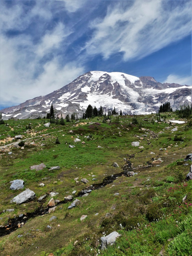
Mount Rainier is so imposing that it makes its own weather, and on most days the mountain disappears under its thorny crown of rain clouds.

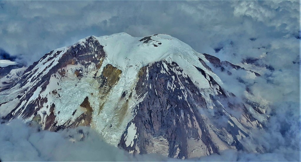
In fact, weather analysts calculate the odds of “seeing” Mount Rainier likely hovers between once or twice a week, considering the 189 rain-days per year, producing 126 inches of precipitation annually.

On the other hand, July is Mount Rainier’s driest month, with an average of 7 days of rainfall, amounting to 2 inches on average, which improves the odds tremendously for the millions who live and travel the I-5 corridor between Tacoma and Seattle. They invoke a familiar colloquialism that captures the moments when Mount Rainier reveals itself. They say, “The mountain is out today.”

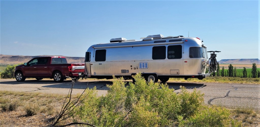
My youngest son Nathan, who lives in nearby Bellevue had arranged long ago to glamp with Leah and me for a summer weekend at the National Park so he could experience Paradise, up close and personal, for the first time.

Happily, during our visit, “the mountain was out,” and it was magnificent!

On our first day together, we sought out a few of the requisite park sites as part of Nate’s Rainier orientation, including:

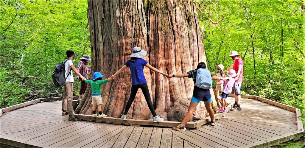
a wobbly walk across a suspension bridge…

to gaze at ancient trees…

in the Grove of the Patriarchs;

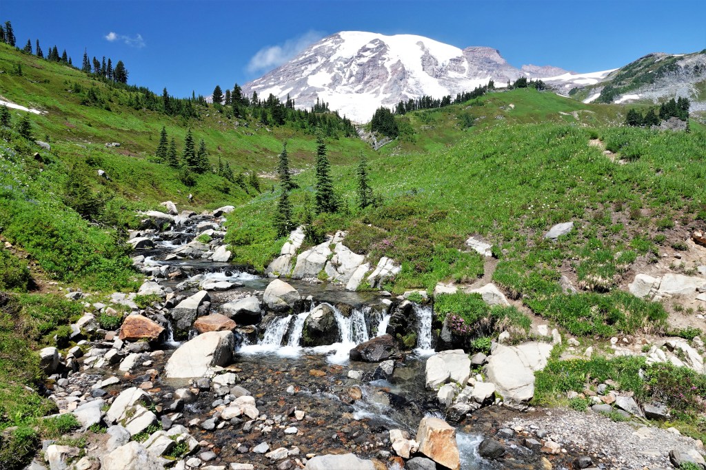
a hike to Myrtle Falls, cascading 72 feet into a rocky gorge;

a gambol across Sunbeam Creek on the Wonderland Trail before it rolls into Stevens Canyon;

tracking iconic, Narada Falls,

as it plunges 168 feet into a canyon of split rocks;

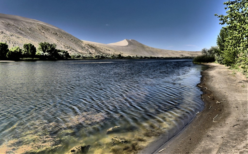
admiring Reflection Lakes, sans the reflection (ruined by wind-swept ripples);

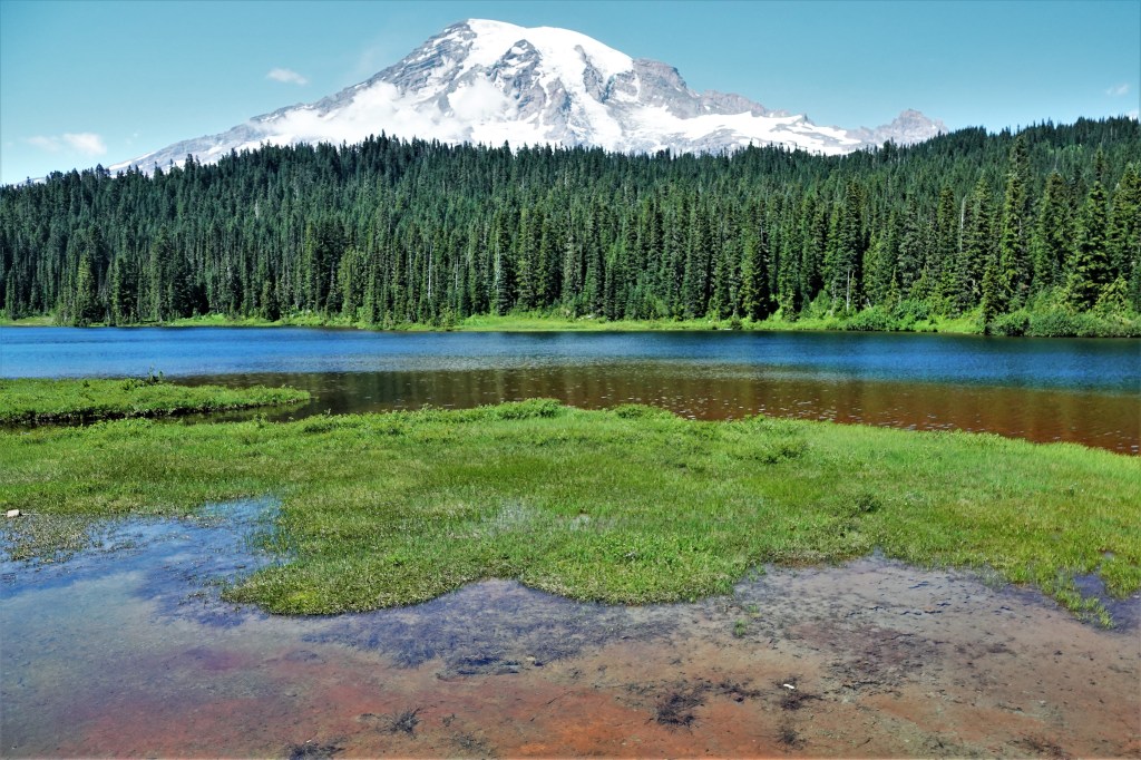
and relishing the trove of jaw-dropping, mountain vistas that seem to vanish into thin air–

which we reflected on while enjoying a soft-serve swirl at the historic Paradise Inn.

The next day, the mountain was still out, and it was a picture perfect day for hiking the Skyline Trail to Panorama Point.

Of all the trails I’ve trekked, I can say with cautious certainty that the Skyline Trail may be among the most magnificent of them. With the sun out, and blooming wildflowers dotting the landscape, there are few hikes that can compare.

We started on a paved path from the Paradise Inn at 5,420 feet elevation, and continued to climb through flower-carpeted meadows for a mile…

until we reached the Deadhorse Creek Trail spur, and looked back in wonderment.

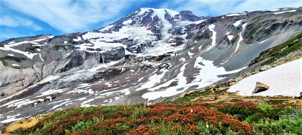
We were now traipsing through packed snow and rocky terrain as we reached the tree line. We paused for a break where other hikers were keenly aware of something or someone through binoculars and long camera lenses. I scanned the mountain for movement through my viewfinder, and discovered the attraction–a team trekking across the glacier on their way to the summit.

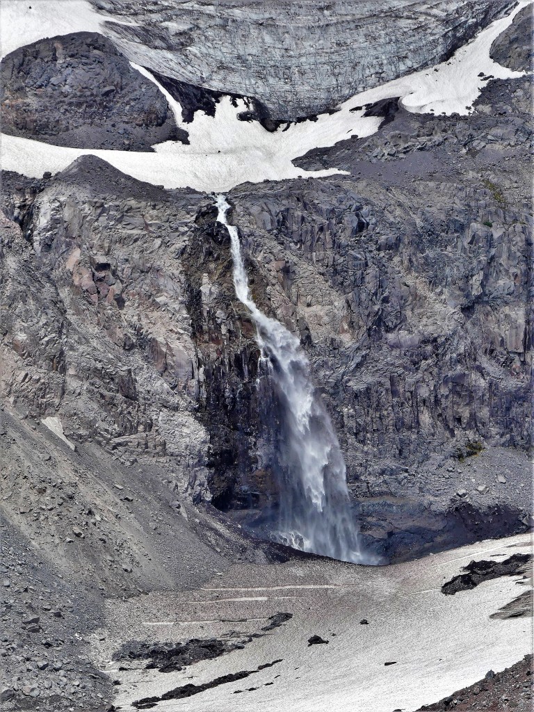
Nisqually Glacier was now looming large in our sights.

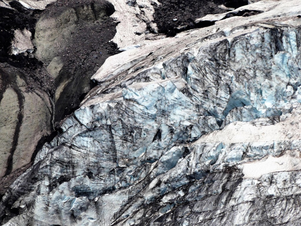
The spectacle of watching the snowmelt pummeling the moraine below was thrilling.

It seemed to us that Rainier was so close, we could almost touch it.

With one last push, we arrived at Panorama Point, having climbed 1400 feet in 2 hours. I should have felt drained, but I was giddy with excitement with views from the overlook,

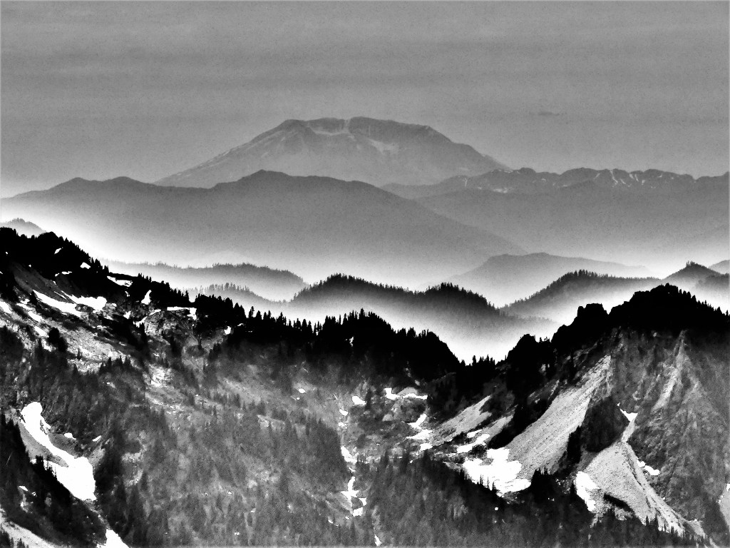
while also spotting Mount St. Helens far in the distance,

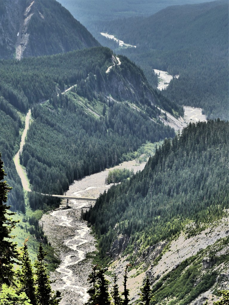
and capturing the Nisqually River as it meanders through the Rampart Ridge gorge.

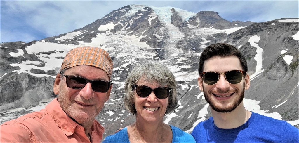
On our return trip, we opted to take the Glacier Vista spur for a beauty shot of the mountain,

and ourselves.

Returning via the Alta Vista Trail gave us a very different impression of the valley below,

but also prompted us to occasionally glance back to admire the source of all the magic.

Hot, Hot, Hot

Extreme heat is baking the northwestern states in July, and historic highs are being set with every new day. Murphy, Idaho is no exception. Triple-digit heat has become the new normal, and we were about to cross that threshold, as we continued our journey across the Snake River Plains to Morley Nelson Snake River Birds of Prey, where temperatures reached 104° the other day with no foreseeable break in the heatwave.

Originally, the plan was a sound one–we would travel across Idaho, from Craters of the Moon to visit a raptor sanctuary. But at the time, we never considered that booking a Bureau of Land Management campsite (the only campground in the vicinity) would expose us to unbearable heat inside the Airstream, as most all BLM campsites are primitive–meaning NO services.

Leah and I needed to adjust our plans accordingly and without delay if we were to remain on course and on schedule, but we had to find a worthy substitute for the next couple of days. We thought about staying in Boise (it was nearby), but we had little interest in visiting Idaho’s largest city (pop. 230,000); we were looking for something more adventurous and outdoorsy.

After checking area state parks, I discovered that Bruneau Sand Dunes State Park was close by (1.5 hours away) and available with water/electric hook-ups. There would be no sightings of prairie falcons or golden eagles at Bruneau Sand Dunes, but if we closed our eyes, we could imagine them in air-conditioned comfort. …and lots of sand…again (see Great Sand Dunes National Park).

We arrived to a nearly empty campground on the edge of the “tallest ‘single-structured’ sand dune in North America,” with a peak rising 470 feet above the surrounding desert floor. The park also touts its own observatory within a Dark Sky Place, searching the sky with Idaho’s largest telescope (25 inch diameter) for public viewing.

My first inclination was to compare it to Great Sand Dunes National Park, but I was determined to curb my skepticism and see what surprises awaited us inside our new backyard/playground…for the meantime.

The following day, we went exploring. Unlike a couple of coeds and a dog, we immediately dismissed the notion of climbing the dunes in extreme heat.

We were looking for a more sedate hike that required less elevation. Rather than follow the 6-mile self-guided hiking trail step-by-step, we improvised, skipping the Big Dune ascent, and followed the trail around the dune base,

where we discovered water, and that made all the difference.

We circled the lake…

and dunes…

and crossed over a few of the lesser dunes,

until we reached the observatory.

I was eager to stargaze that evening, but the observatory was closed until further notice due to COVID-19. Unfortunately, the only celestial offering on-site was a human sundial created by Girl Scout Troop 140 in 2015.

I was curious about the design, but I required a human to test its accuracy.

Leah stood on the current month (July), for the sun to cast her shadow on the current time of day. Checking my watch, I recorded 10:24 AM, which from the looks of her shadow, validates her as human and punctual.

The rest of the day, we played by the water, and enjoyed the air-conditioned comfort of our Airstream, never giving Morley Nelson Snake River Birds of Prey a second thought.

Obscured by Clouds

On a hot and lazy weekend afternoon, a dip in Madeira’s community pool seemed like a winning idea to escape the heat, but to my surprise (and delight), no one else was there to take advantage of the water. Having the pool to myself was a blessing, if only the oncoming clouds that were assembling could keep their distance.

“You’re welcome to join me,” I offered Leah earlier. However, Leah had settled for the comforts of air conditioning and a Kindle moment.

“Y’know, it’s supposed to rain,” she forecasted.

“But it’s a swimming pool, and wet is wet,” I theorized with authority.

The expectation of rain is ever-present during Florida summers, and today was no exception. In the distance, despite the stillness of the air, the clear sky was yielding to a dark mass creeping in my direction and threatening to blanket the sun.

I floated on the water–as if in a trance–listening to the foreboding rumble, and watching the evolving cauliflower clouds occasionally glow with the flickering incandescence of faraway lightning.

In no time, the war clouds were upon me, but the sun would not surrender gently.

clouds and treetops

I cursed my misfortune for not having my camera with me as the billowing thunderhead gradually edged out the sun–it’s luminescence taking on an eerie beauty.

cloudy but colorful

However, my Samsung Galaxy was with me and it would have to suffice.

colors behind the clouds (2)

While it wasn’t my first choice for resolution, the camera phone adeptly managed to capture the nuance of color radiating beyond concealment…

obscured by clouds

until the sun was vanquished and the rainbow had retreated.

Once I managed to locate and retrieve the files uploaded to Google cloud storage, the captured skyscapes were no longer obscured by clouds.

Tightening My Bible Belt

If the idiom “raining cats and dogs” refers to heavy rain, then we drove through a storm front this morning on our way to Montgomery, AL that must qualify as “cougars and dingoes”.

So violent was the weather–bringing bouts of apocalyptic lightening and cataclysmic road floods–that I celebrated the opportunity to pull into a rest stop for 10 minutes just to catch my breath and clear my head. Texted news reports of tornadoes across Alabama border states kept us on high alert. Continuing south, the punishing winds played havoc with the Airstream, despite its aerodynamics. Keeping it centered between the lane lines had to be as challenging as today’s Supreme Court confirmation of Neil Gorsuch.

This is not the game plan we had prepared for yesterday. The Airstream was all hooked up and ready to roll from the night before. Our easy and early departure from Talladega was intended to give us a head start in advance of the storm, so that our arrival at Gunter Hill Park would coincide with the worst of the weather. But as my late Grandma Straws was so fond of saying in her heavy Slavic accent, “You kenen nit makhn a contract miten de veter.”¹

What a relief it was when the squall finally weakened as we exited the highway and turned onto Old Selma Rd. in search of our campground that I may have muttered a “Hallelujah”. If we were grateful to God for arriving without incident, there was no shortage of venues to Praise the Lord. It turns out that eight different churches lined the five-mile route–all of them captured below.Church2.jpgchurch3.jpgchurch4.jpgchurch5.jpgchurch6.jpgchurch7.jpgchurch8.jpgchurch1.jpg
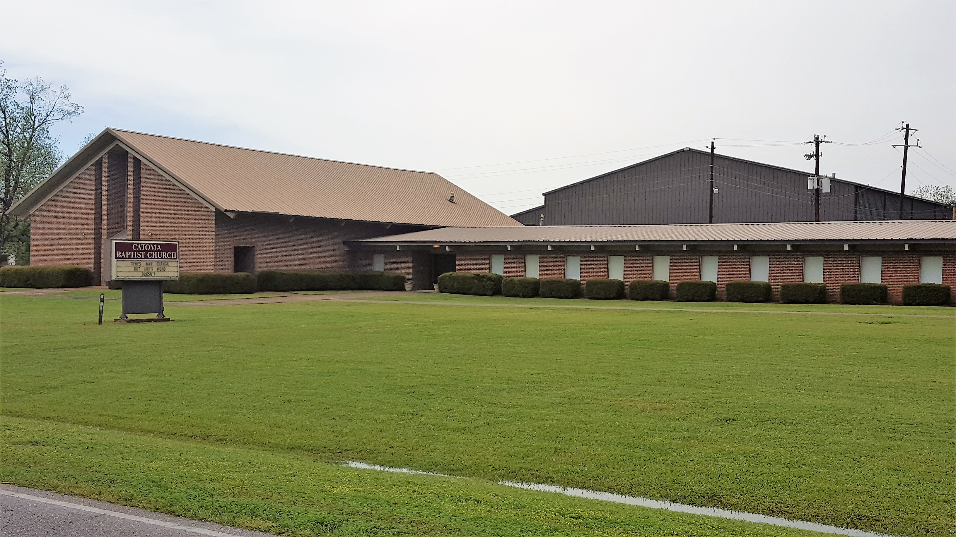
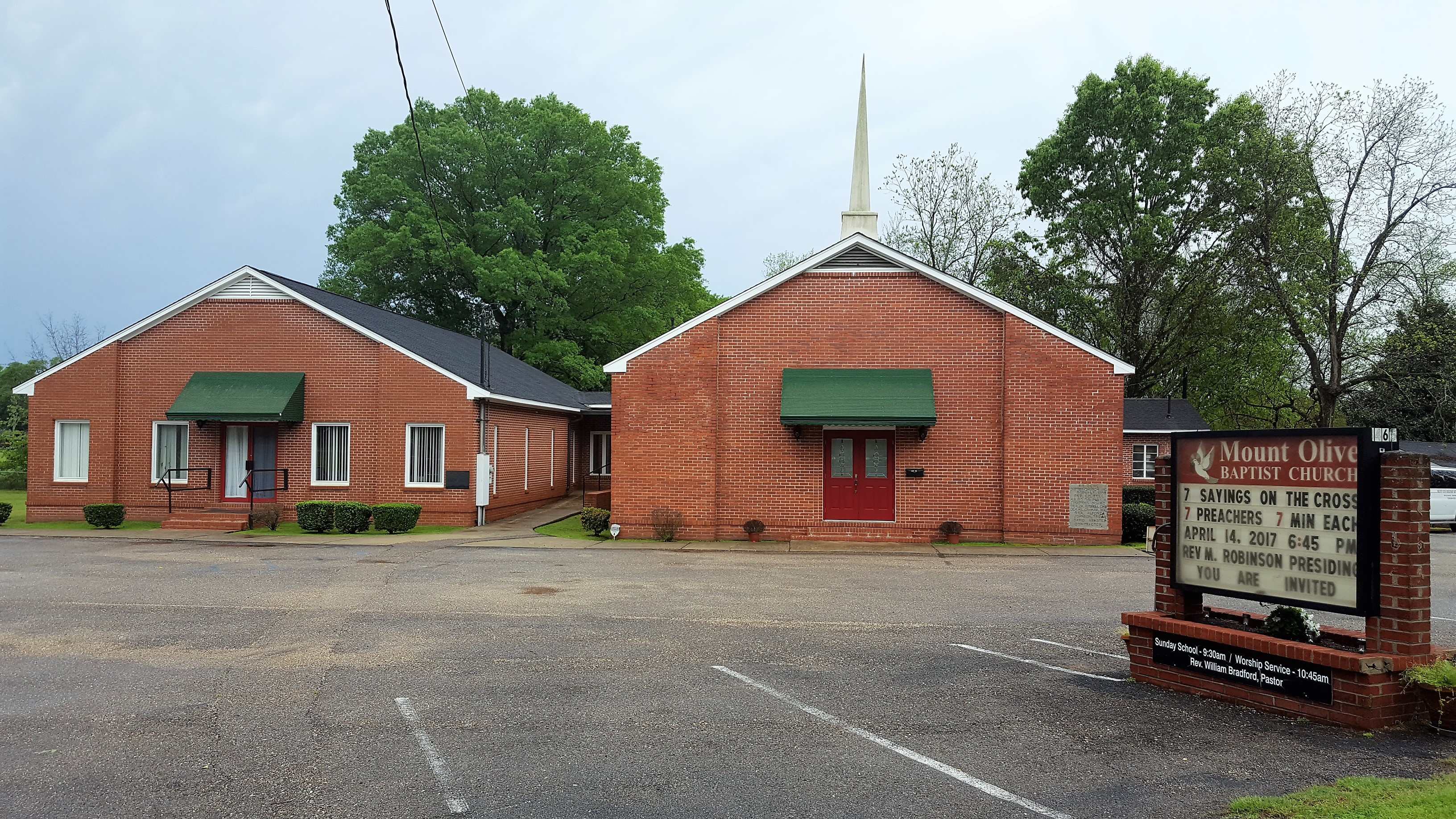
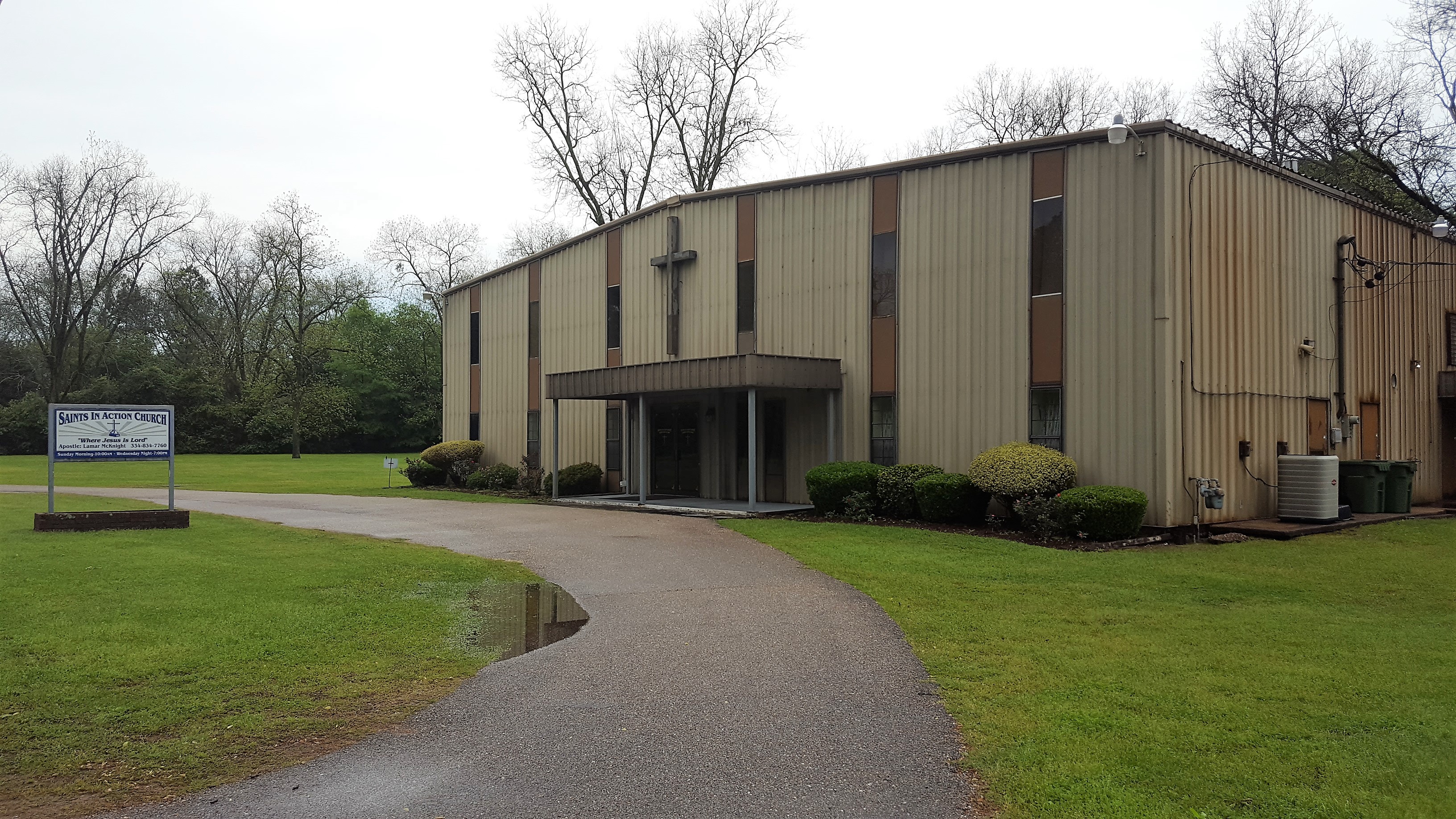
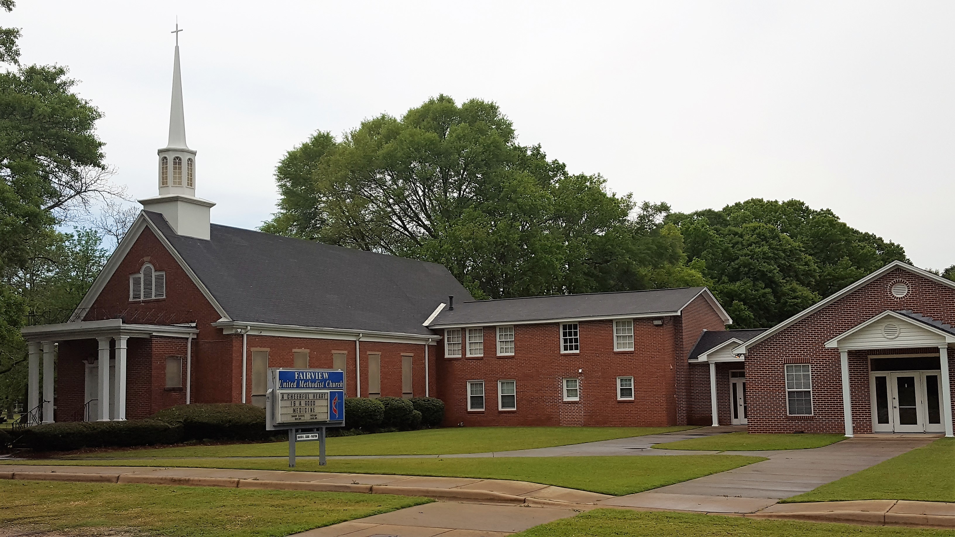
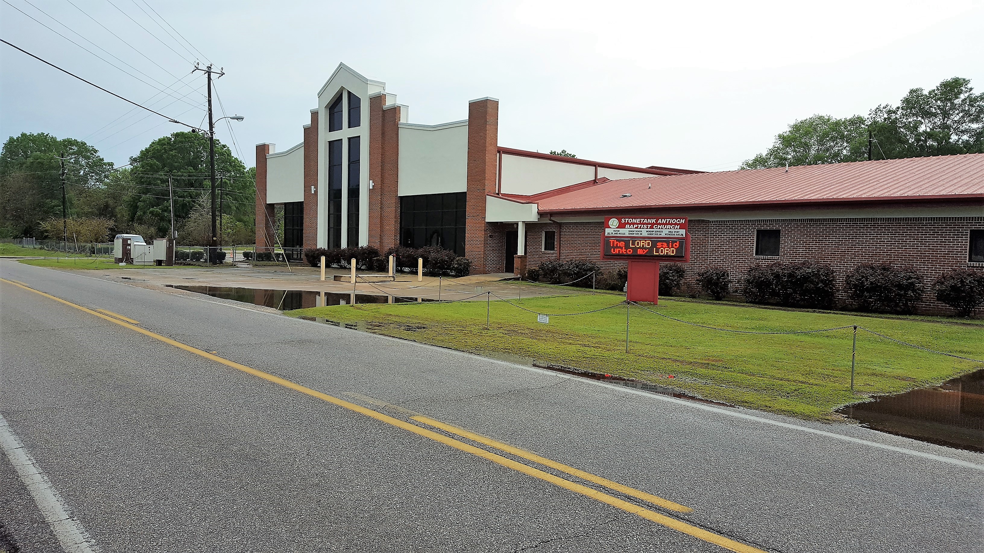
If salvation is part of your endgame, it seems that Old Selma Rd. is one of the most God-fearing stretches of asphalt in all of Montgomery, and the place I know where you should go, to save lives lost at any cost.

Or at the very least, buy a bag of boiled peanuts and shelled pecans from the roadside vender who looks as old as Moses.

¹Translation: “You can’t make a contract with the weather.”