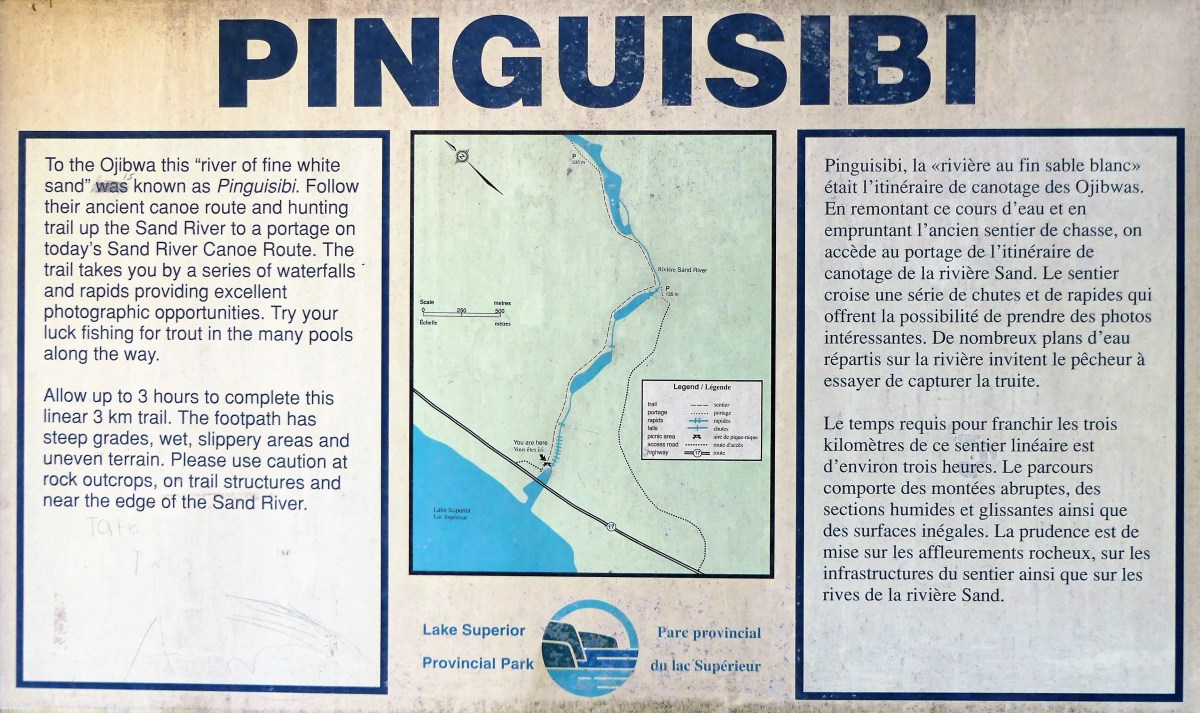
“It says so in the brochure,” she states. “I quote, ‘Caution is advised when venturing onto this rock ledge due to its slope and the unpredictable nature of Lake Superior and its wave action.'”
“Sounds like fun. We should see it,” I suggest. “This is ancient historical shit!”
“It sounds a lot like the petroglyphs that we saw in Nevada,” she offers.
“But this one’s on the water, and not the desert,” I tease.
“I know that, smart ass, and it’s also harder to get to, so you need to be careful!” Leah lectures.
“Like I said, how hard can it be?” I reiterate.
We park the truck only minutes from our campsite at Agawa Bay, and enter the trailhead where we are met with a screaming red sign:
“Like I said…” drops Leah.
I deflect the dig. “Check it out.” I direct Leah’s attention to a different sign to our right–a red diamond hammered to a tree with a white arrow and 400 km on it.
“That’s where the trail begins. And according to that sign, we’ve already walked 20% of the trail!”
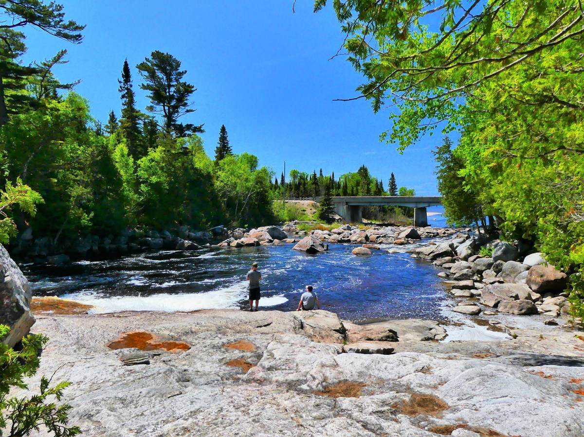
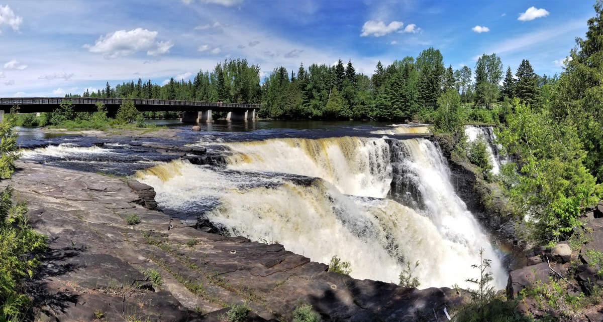
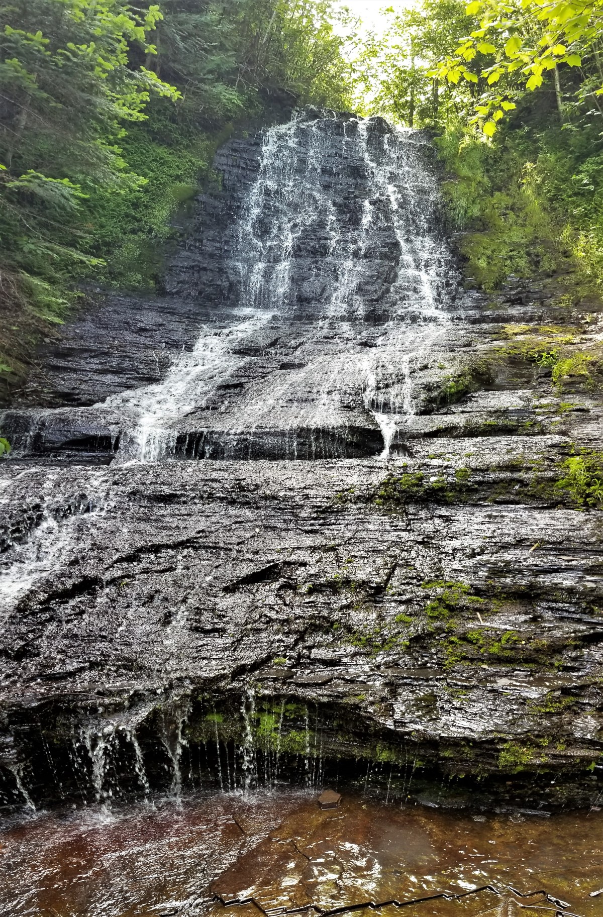
It’s true the trail is rugged and a scramble. The descent runs through a narrow chasm, over sharp boulders and bulging roots. But it’s only treacherous if wearing flip flops, which a student rangerette at the visitor’s center admits can be a problem with some hikers.
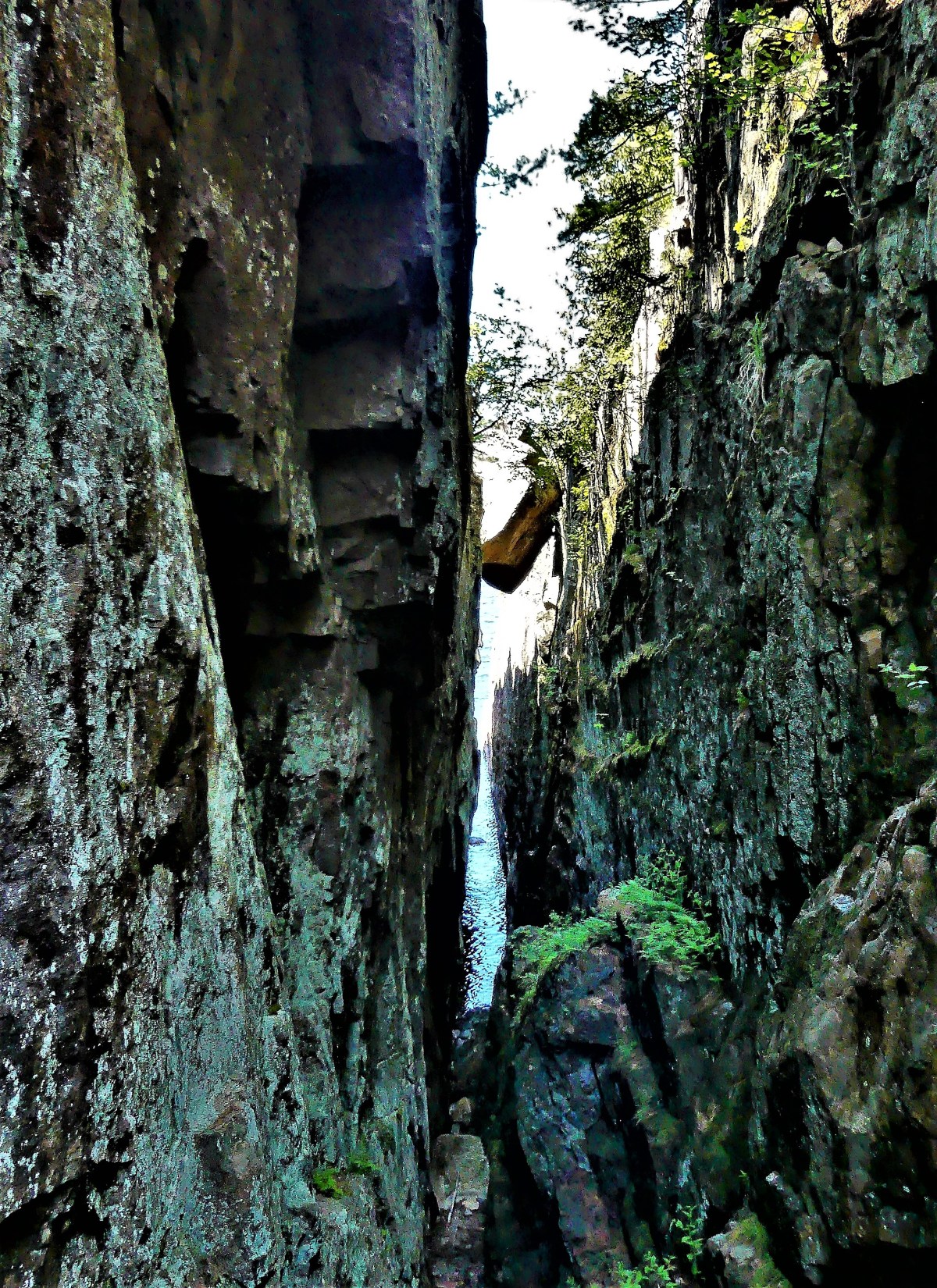
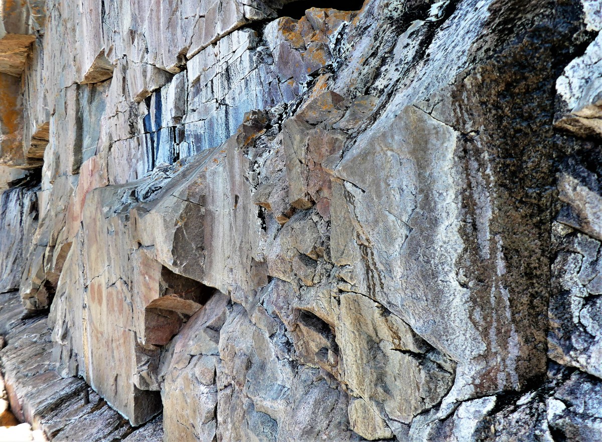
Halfway to our destination, a gash in the cliff exposes a 10 ft granite chunk mysteriously wedged between darkness and daylight.
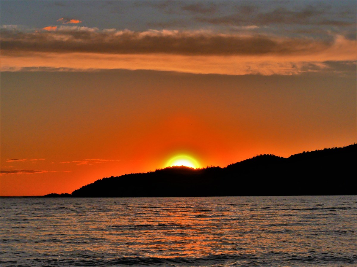
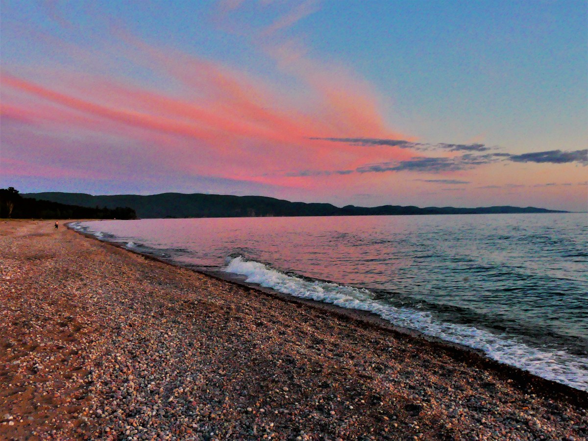
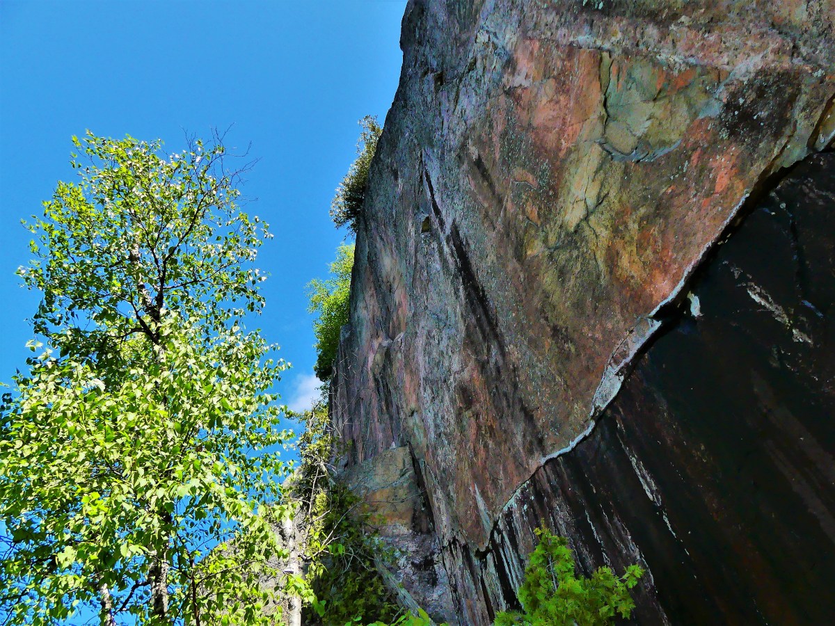
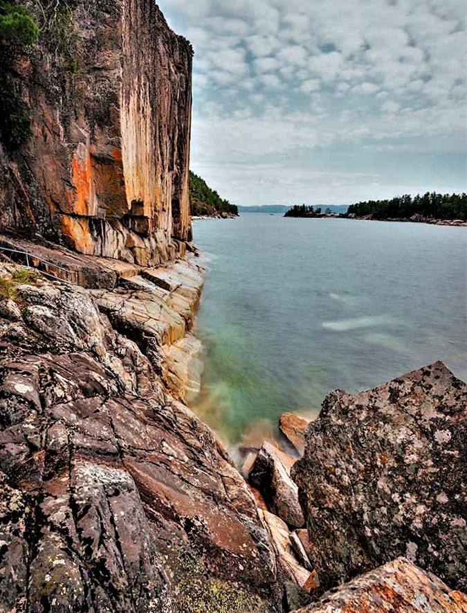
In 15 minutes we arrive at a clearing of flat rock where the sky opens up to the water. A colorful cliff 15 stories high looms above us, grabbing my attention.
Leah is content holding onto a pipe rail that separates the adventurous from the cautious.
“Are you coming?” I ask.
“Down there? Not a chance!” Leah answers instinctively.
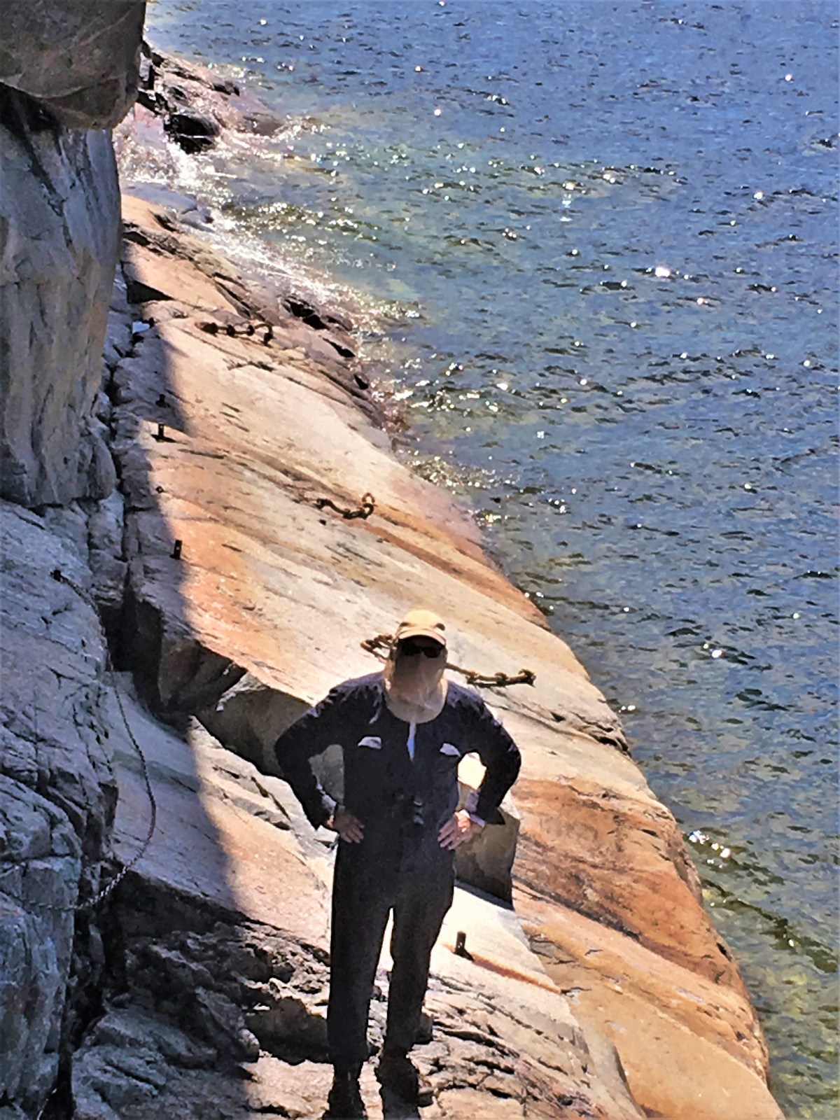
A short drop onto a wet ledge of granite sloping into Lake Superior takes added time, but planting my feet with measured steps is the best method for staying safe.
courtesy of Leah
Knotted ropes threaded through embedded pipes are there to assist the daredevils who spill into 50° F water.
Once I get my footing, I can sidle across the ledge for a better look at the cliff face.
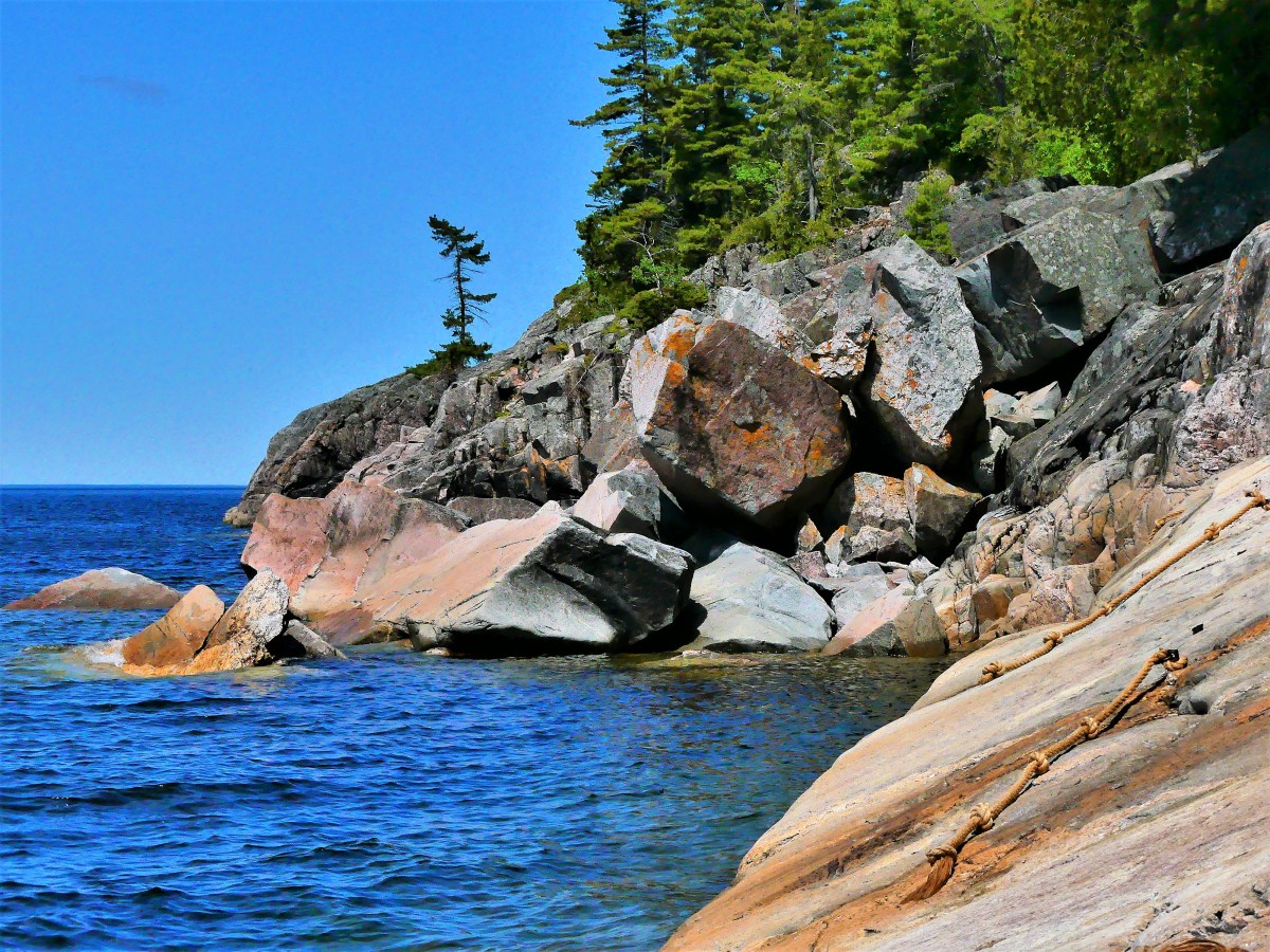
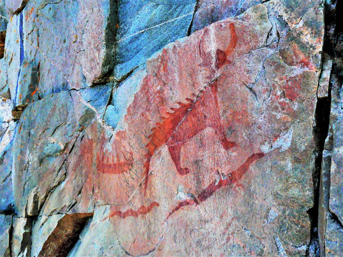
Venturing further out on the ledge, I meet Mishipeshu, the Great Lynx, who was empowered by the ancient Ojibways to control Lake Superior.
There are dozens of sacred drawings set in stone, dating back to the 17th century, but most are faded and nearly unrecognizable from eons of sun, water, ice and wind. Their message remains unknown, but experts reason that the pictographs depict historical events, and could signify manitous from shamanistic ceremonies.
I carefully manuever onto terra firma,
and we hike back to the parking lot.
“That was amazing, down there,” I exclaim.
“It was alright,” notes Leah.
“But you never got to see the pictographs,” I mention.
“That’s OK. You did all the hard work for me. I’ll just have a look at your photographs,” she laughs.