
Seldom am I so amazed that I am speechless or at a loss for words…
After visiting twenty-nine U.S. National Parks, four Canadian National Parks, a dozen National Monuments, numerous State and Provincial Parks, and driving thousands of miles of scenic byways over the past twenty-nine weeks,
captured on:
Leah and I have yet to discover a place that is so captivating that we didn’t want to leave…until now.

Valley of Fire State Park allowed us the chance to finally exhale, after America held its collective breath trying to make sense of yet another senseless killing spree, when a maniacal sniper opened fire on a crowd of 20,000 innocents a ¼-mile away.
We were 4½ miles out of harm’s way, staying at an RV resort off I-15 at the time, and wondered about the incessant sirens screaming past our open windows after 10 pm that fateful evening..
“I can’t believe how much crime they have here,” Leah exclaimed.
“Wouldn’t want to live here,” I offered.
Switching on the TV, all stations were locked on breaking news of an active shooter at the strip, but details were sketchy with the story developing by the minute. We quickly realized that we were listening to the soundtrack of a massacre: SWAT teams, police, EMT, and ambulances were sprinting past our Airstream–in and out of the danger zone.
Originally, we booked a couple of days in Vegas to decompress, and intended on exploring the strip in search of available show tickets once the Airstream was unhitched. But the prospects of casino crawling quickly faded after an afternoon of relaxation by the pool. Then again, we figured there would always be tomorrow.
Yet by morning, as the tragedy at Mandalay Bay unfolded, the thought of unthinkable loss left us gasping for air.
Leah summed it up: “It doesn’t feel right having fun when we’re surrounded by so much pain and suffering.”
We needed a getaway. We took off for Red Rock Canyon to escape the inhumanity, and clear our heads.
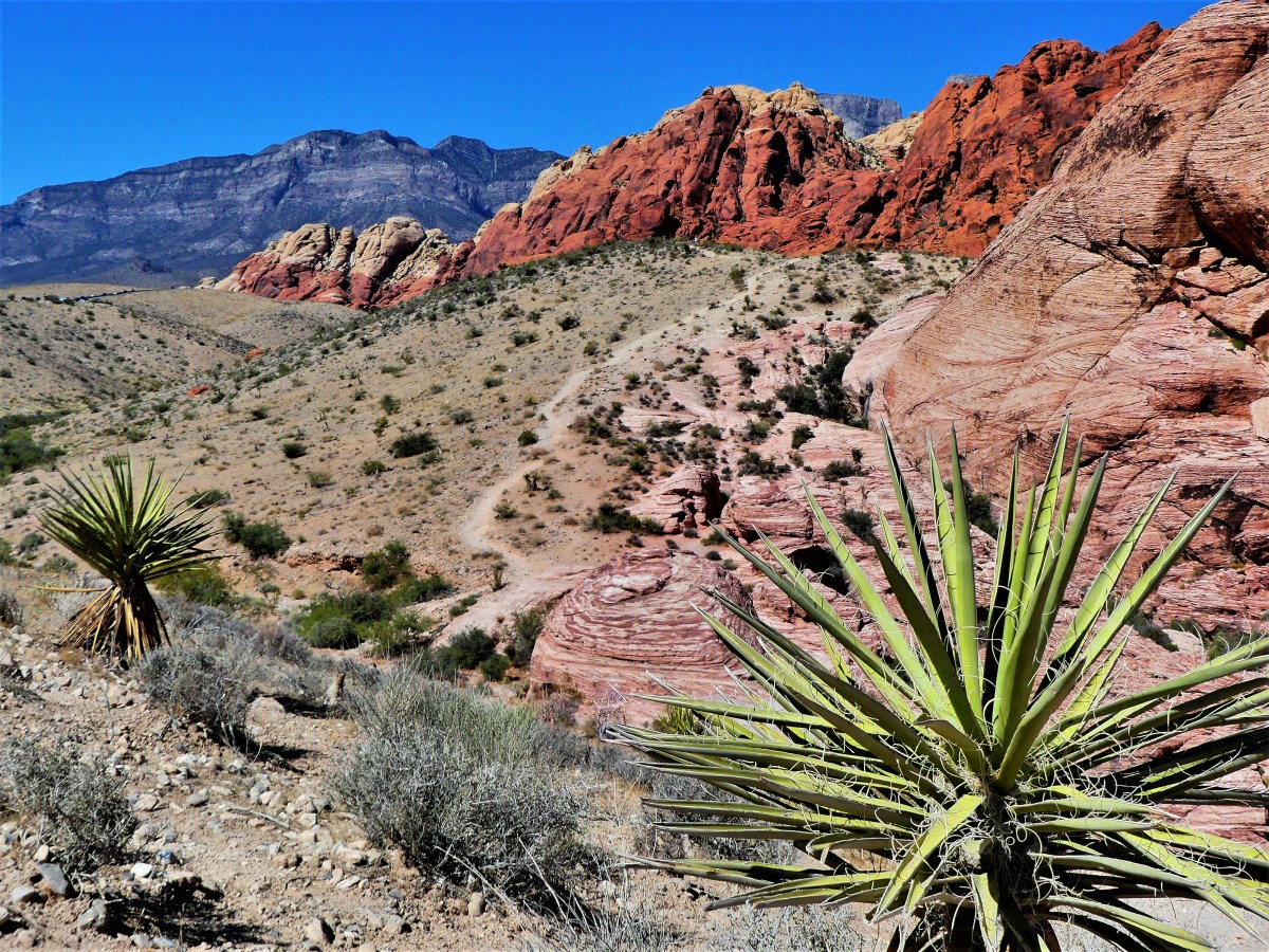
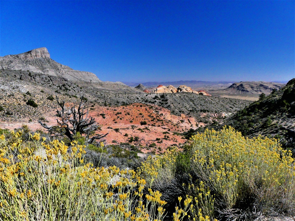
It was a small dose of nature for the day, and helped to heal our heavy hearts.
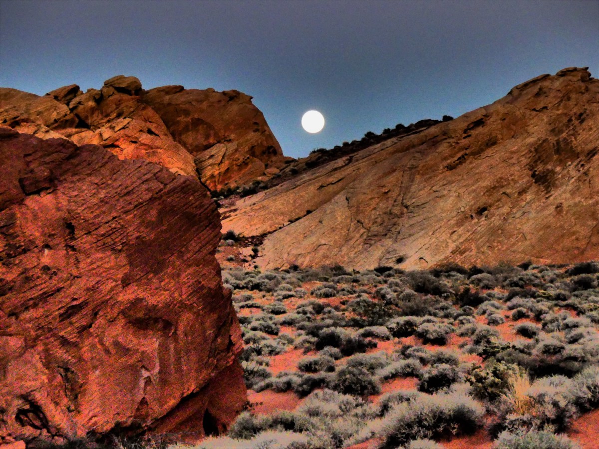
The following day, we moved our Airstream fifty miles east, to the Valley of Fire, where we found the perfect antidote to murder and madness. We found a place where we could breathe,

and the only sound at night was silence.
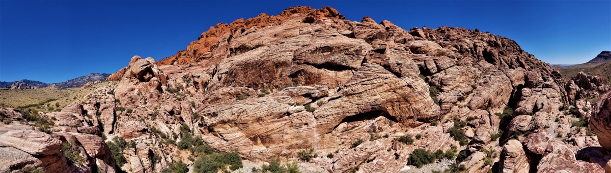
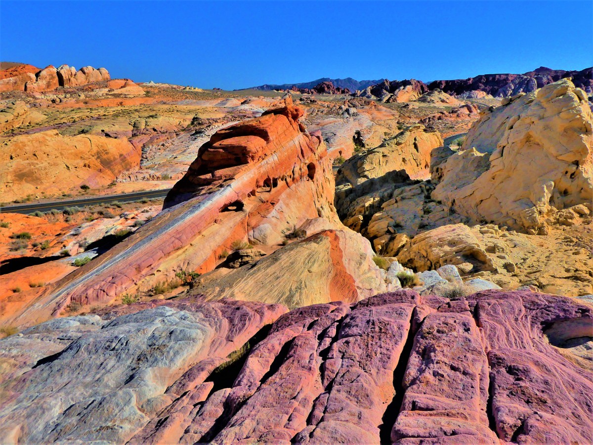
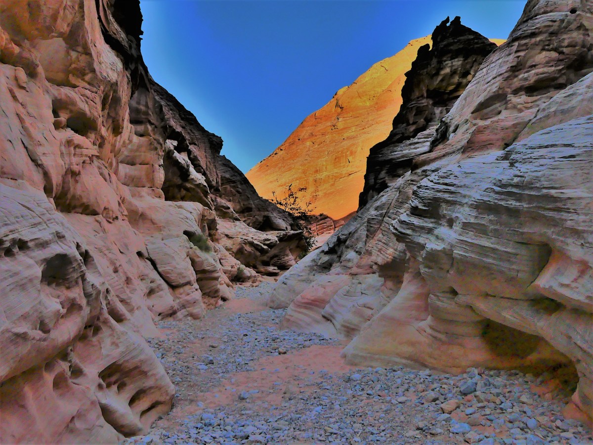
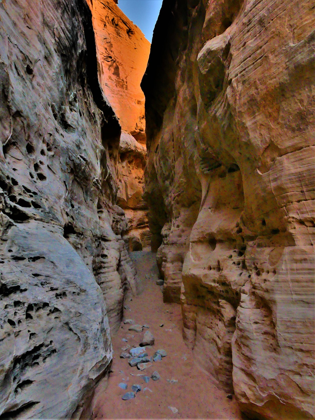
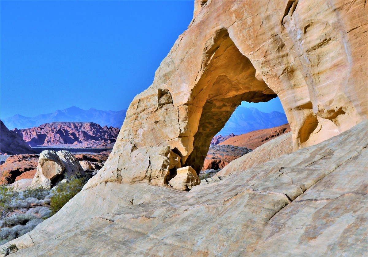
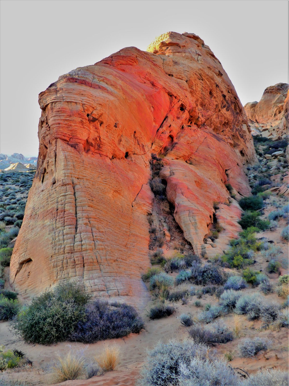
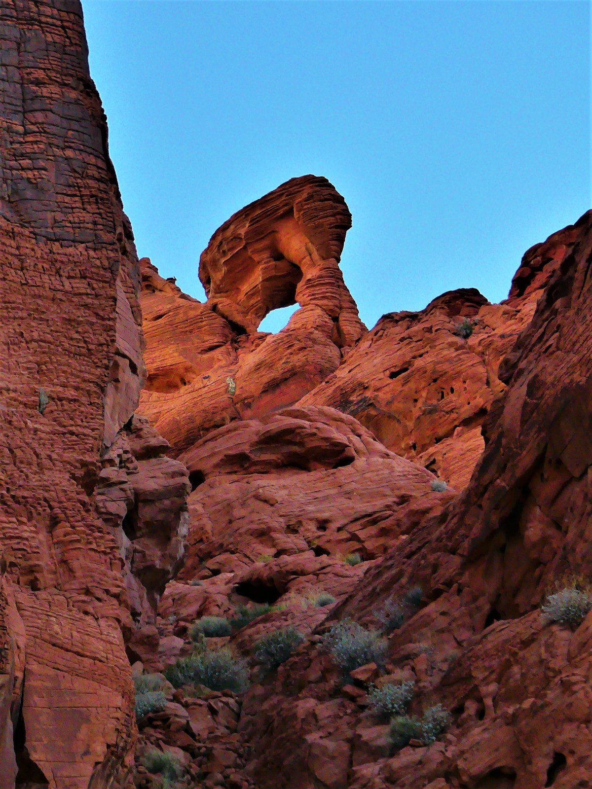
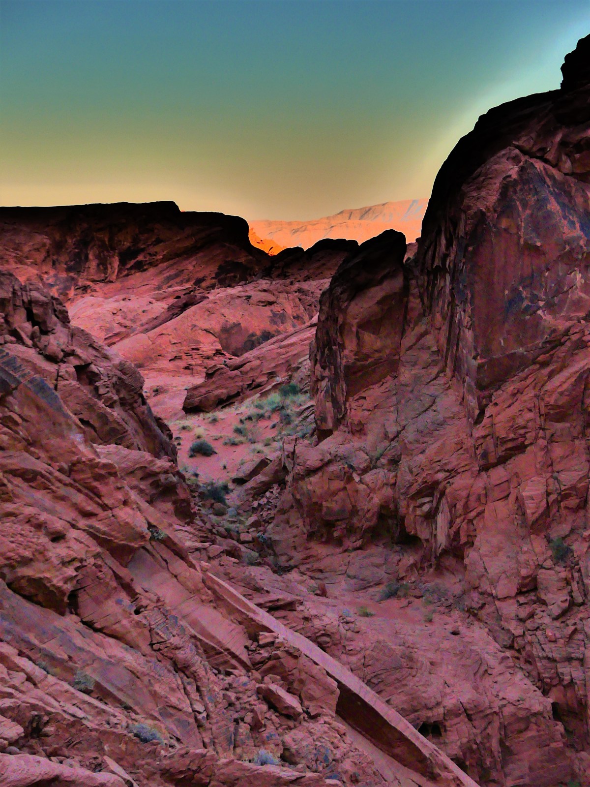
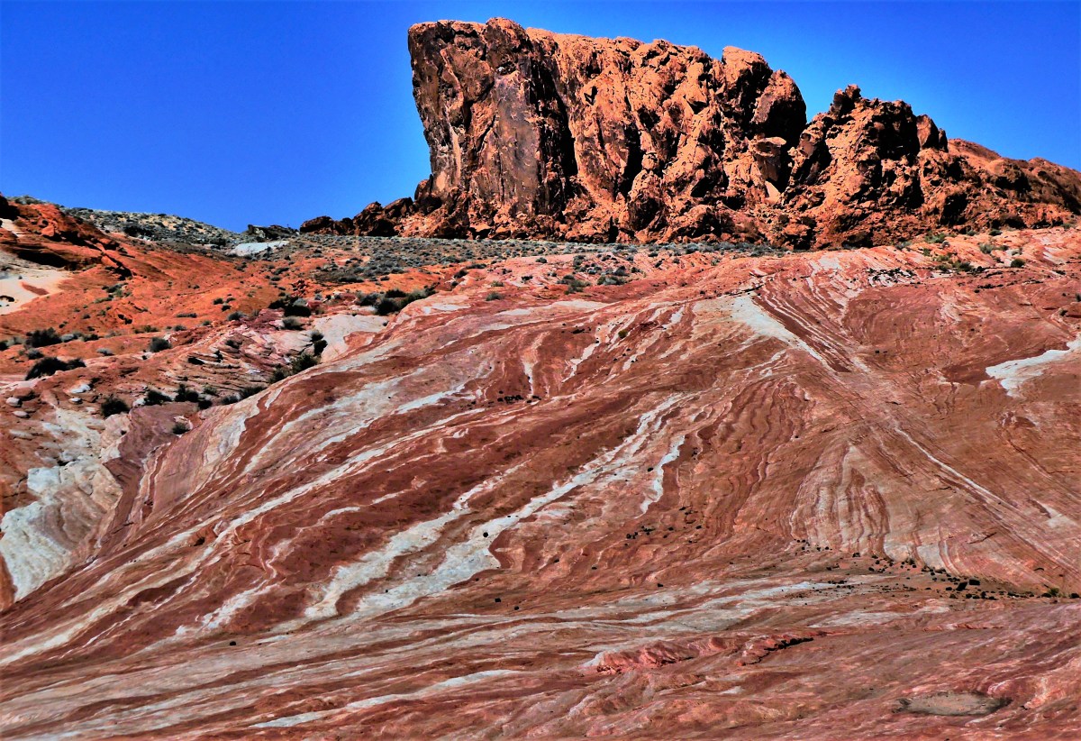
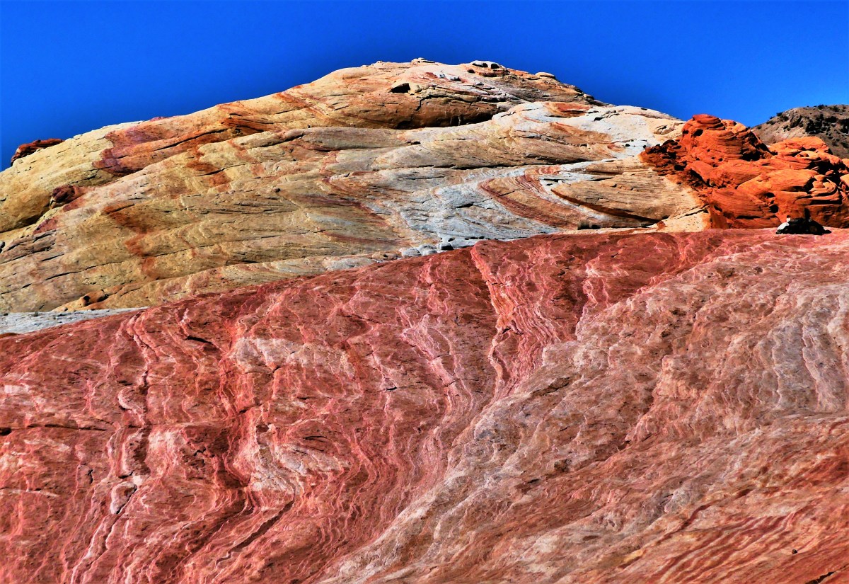
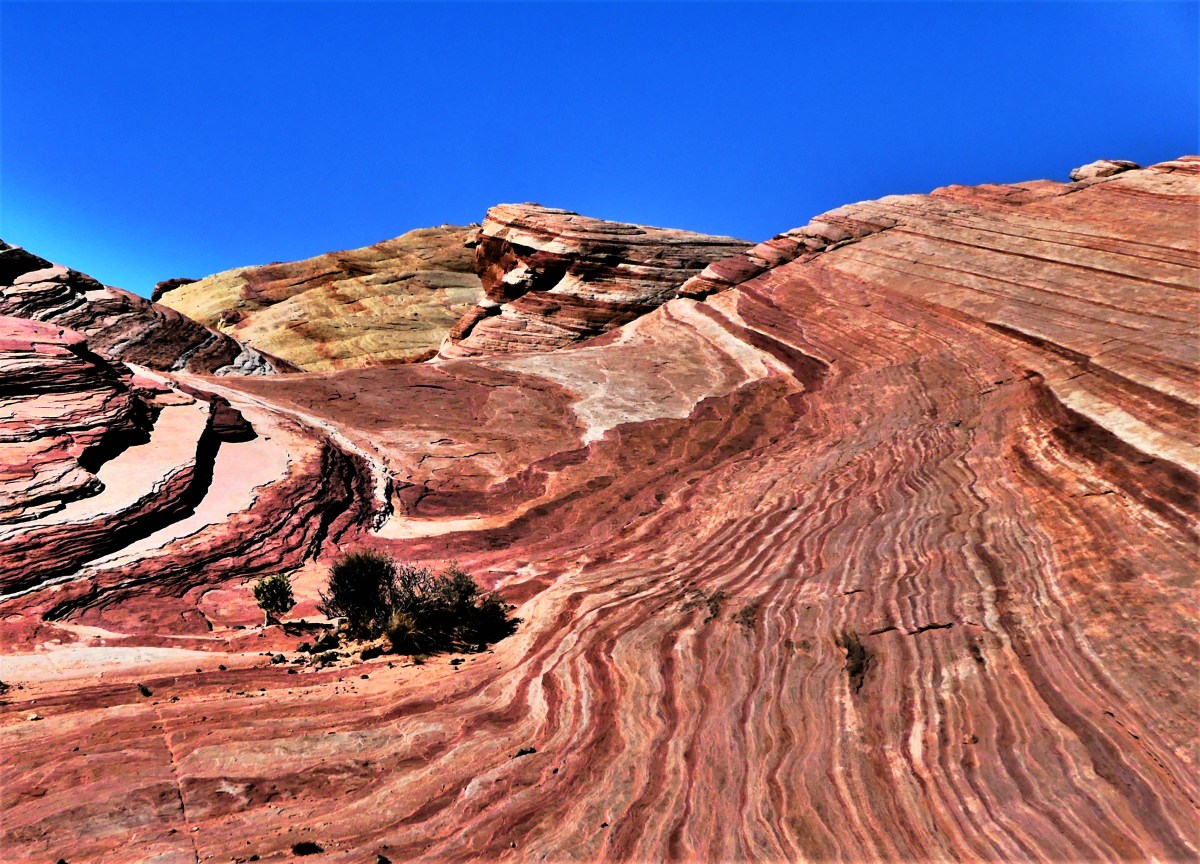
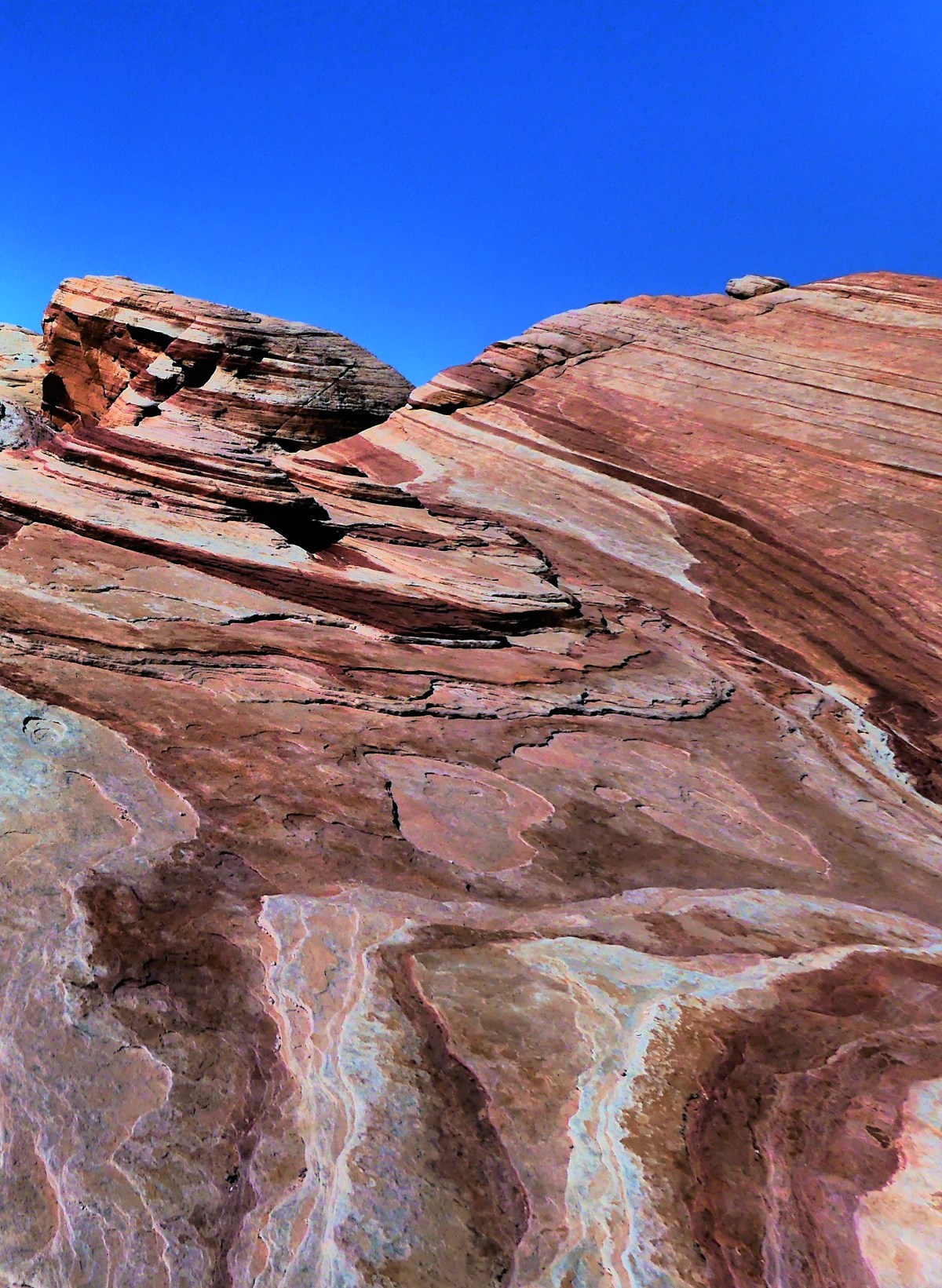
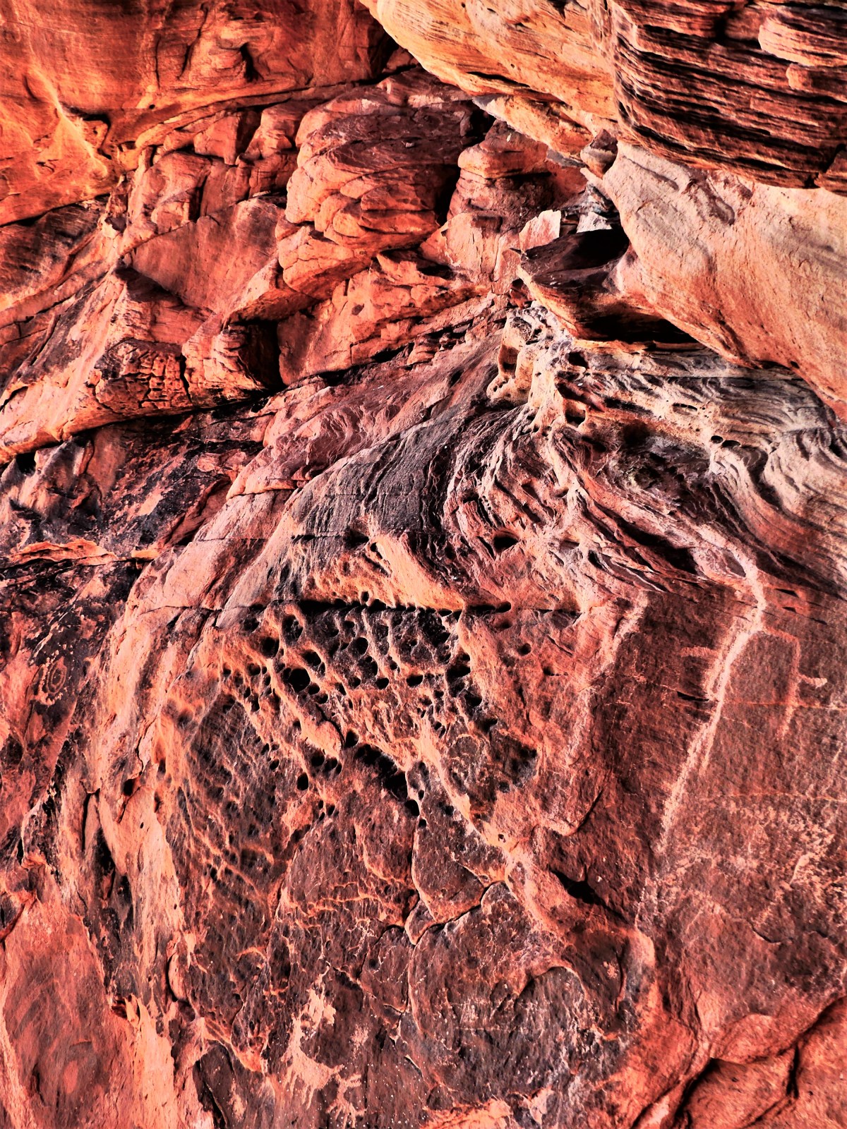
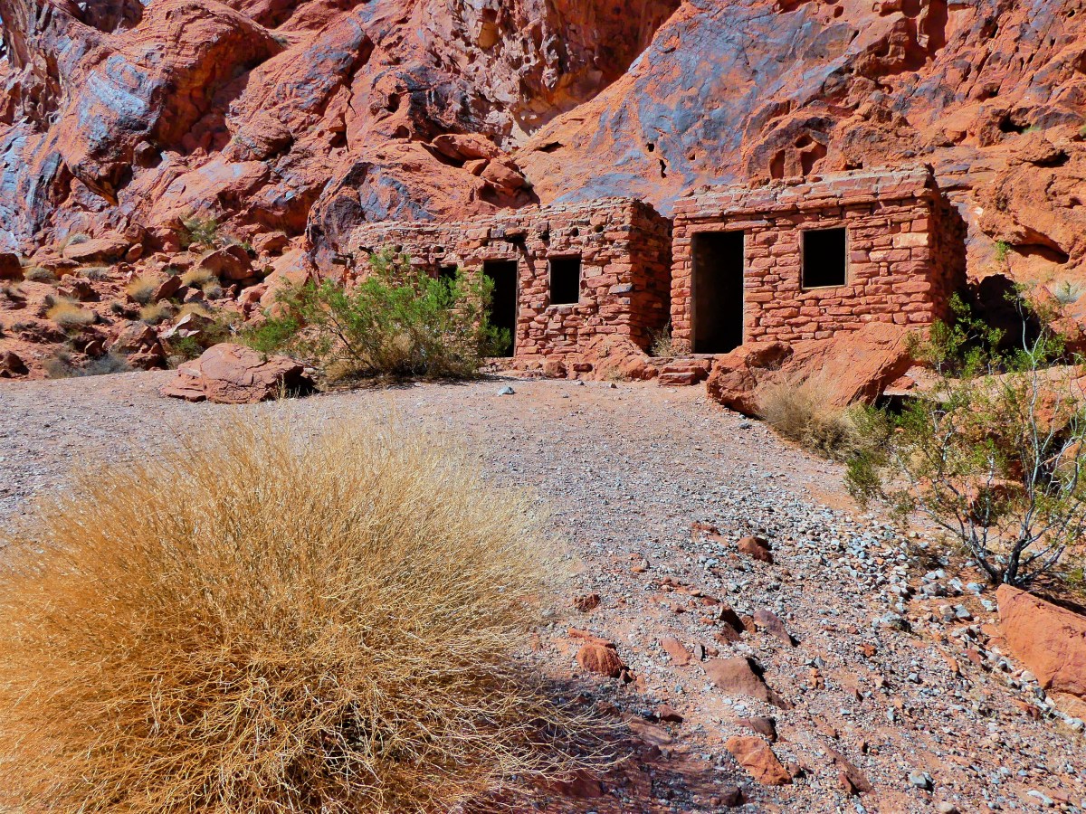
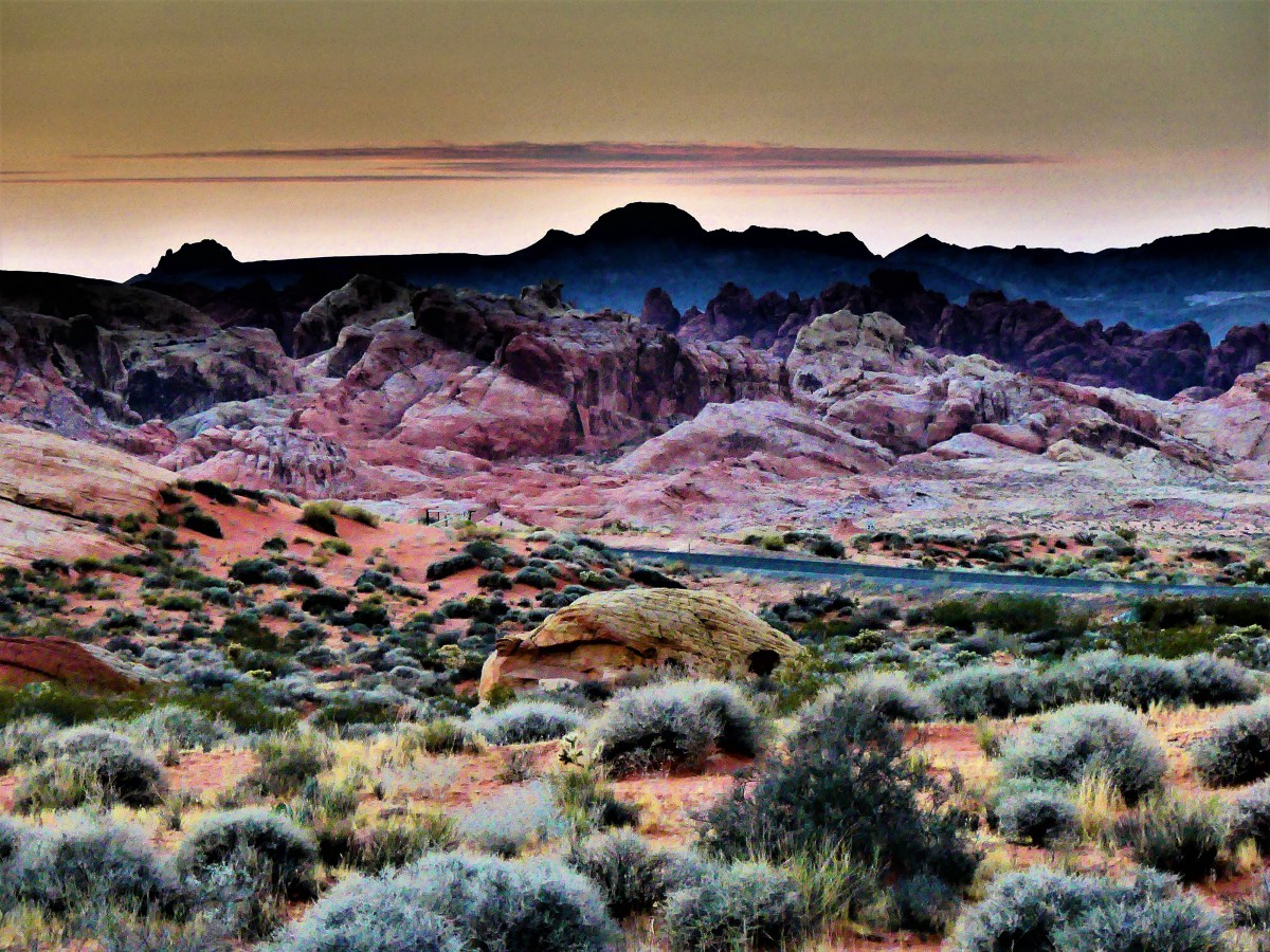
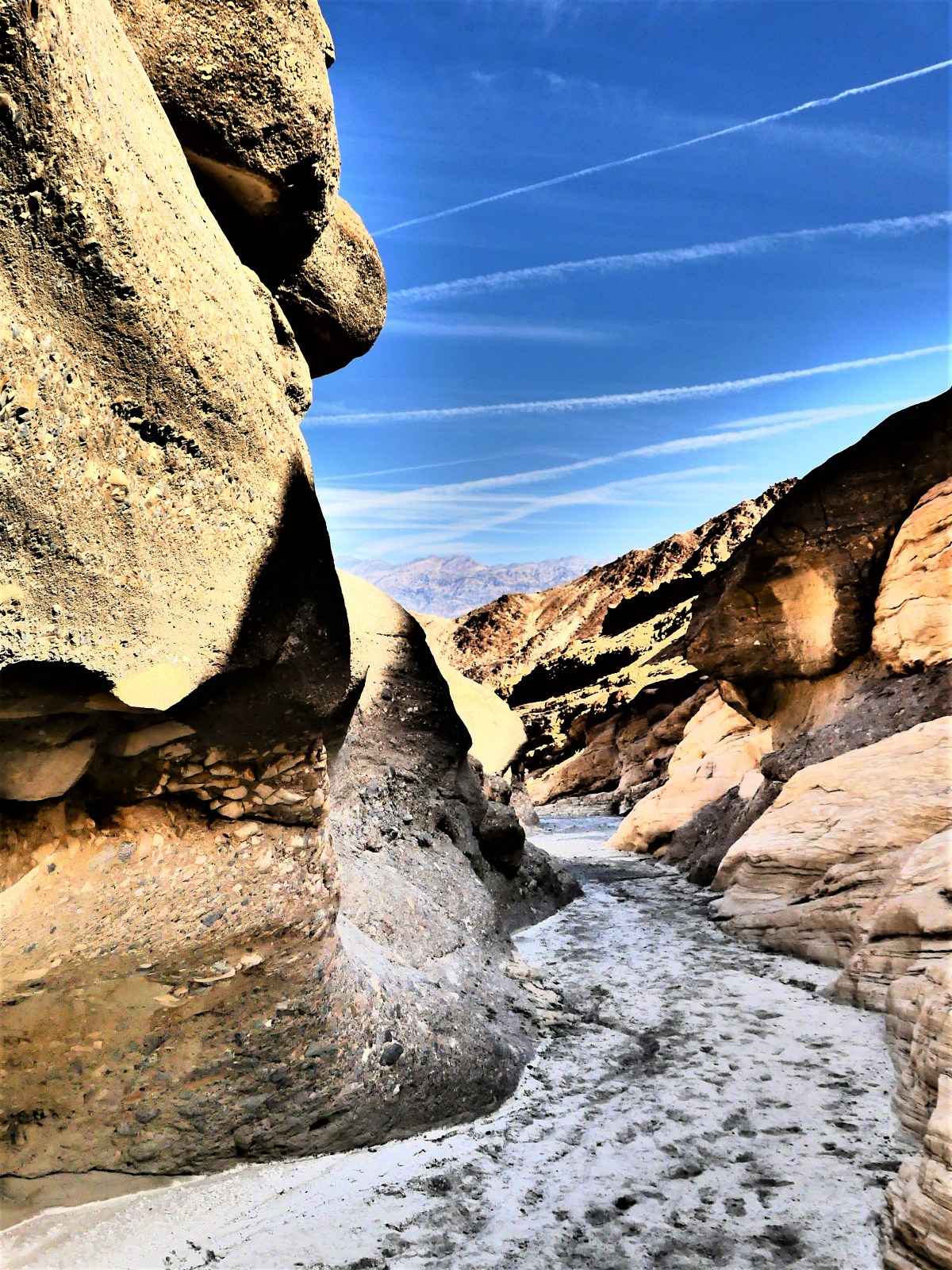
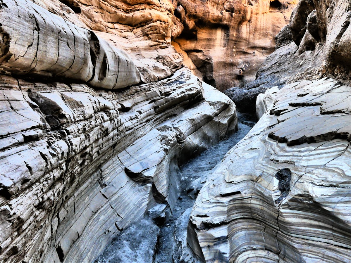
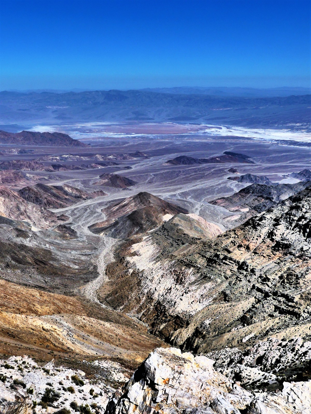
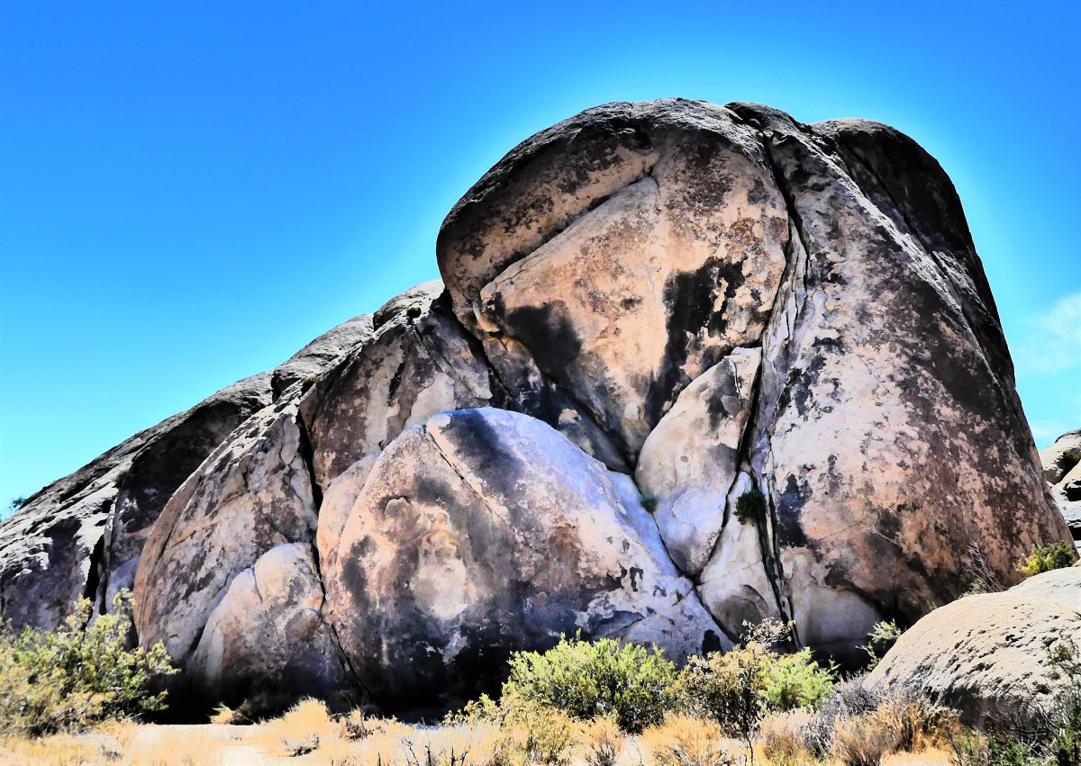
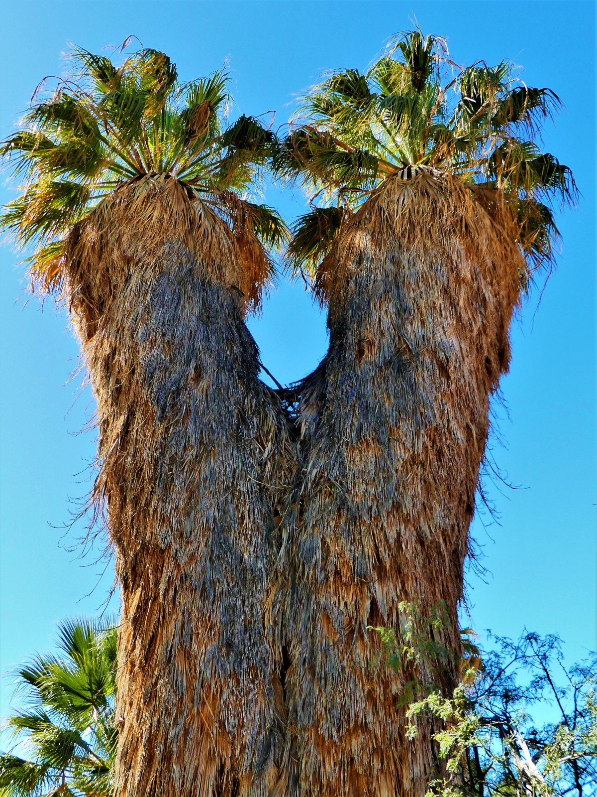
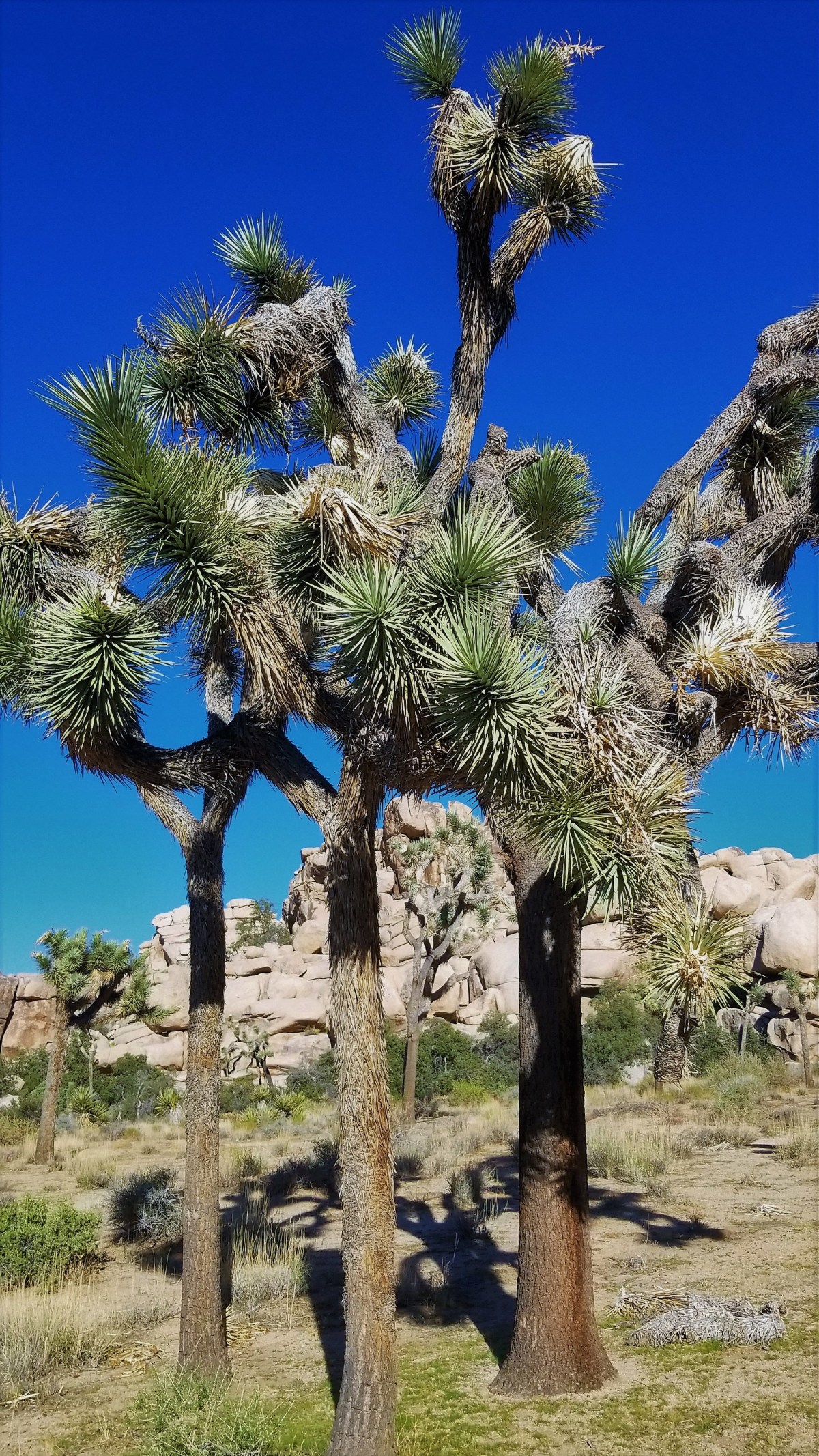
The park has an abundance of features and formations.


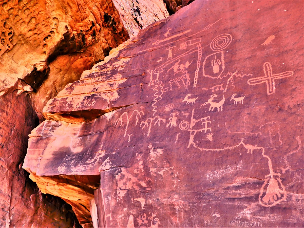

But the hiking trails off White Domes Road offer the biggest reward.
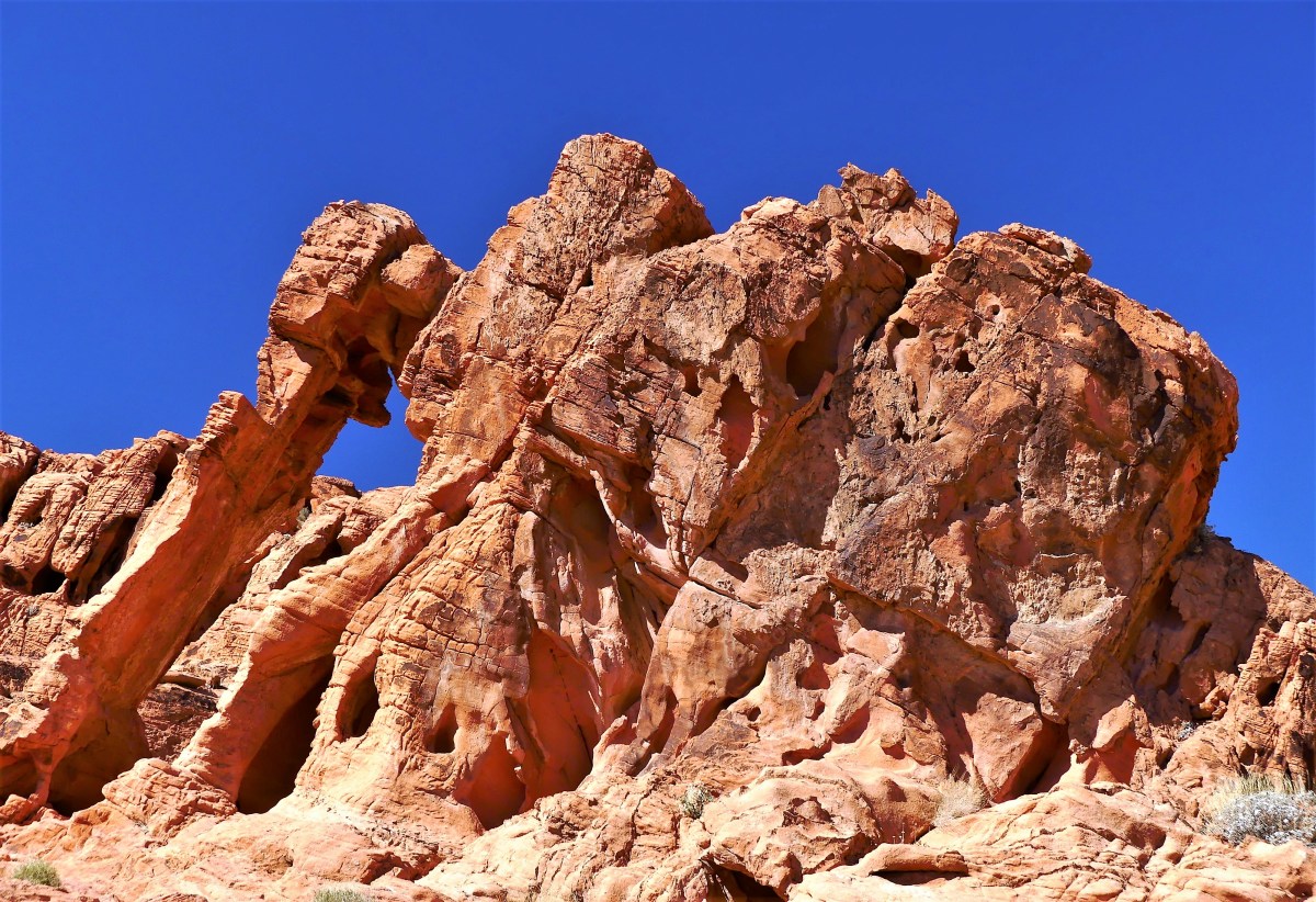
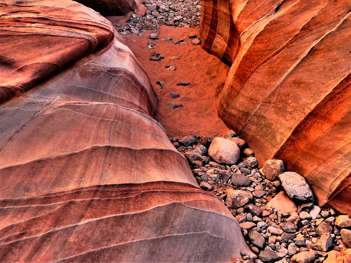
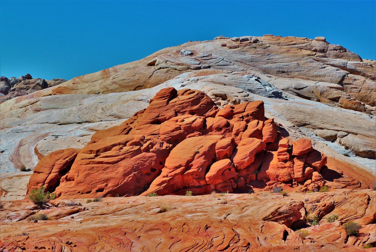
Rainbow Vista gave us an opportunity to scramble over rocks with more colors than a box of Crayolas.


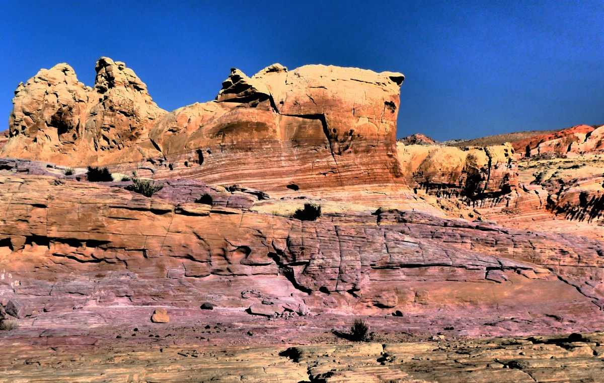

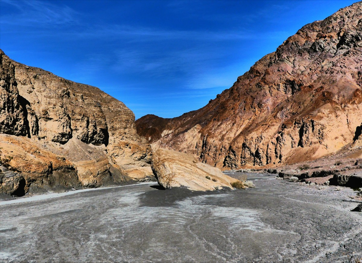
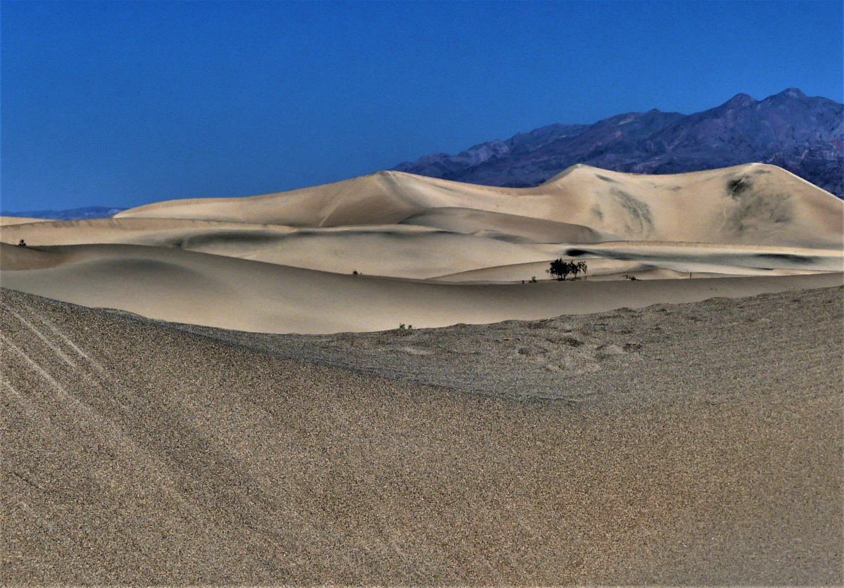
A loop through the deep red sands of White Domes transported us to the 23rd century set of Star Trek: Generations.

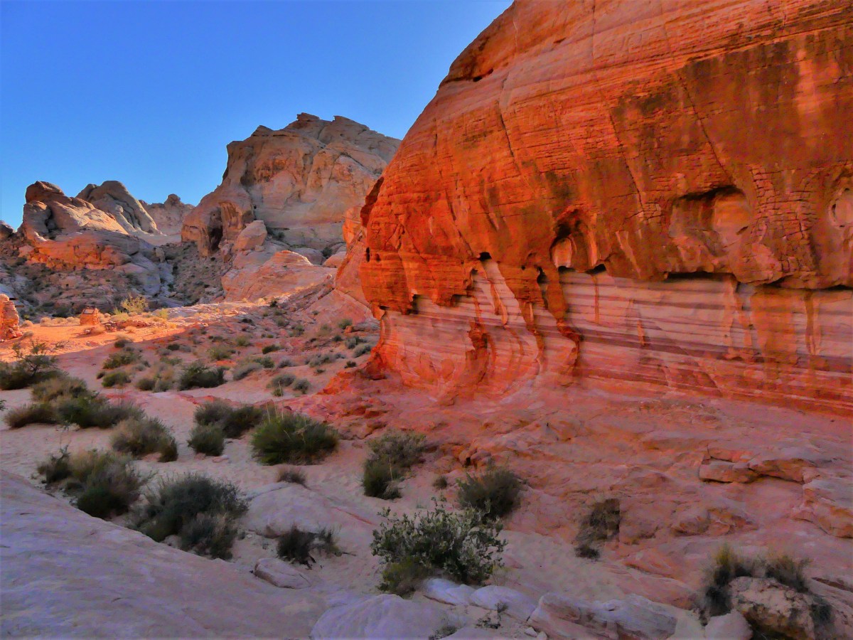
A stroll through Fire Canyon during late afternoon gave us the impression that each rock radiated from within.


But I was unprepared for the exhilaration I felt after reaching the Fire Wave.


I’ve adopted Valley of Fire as my Muse. Even now, when I close my eyes, I believe I’m living in Candyland–a magical world where the cliffs look like candy, and all the residents of the world are tolerant of each other.
This post represents a milestone of sorts, as its #100 in my series of posts for Streaming Thru America–a blog intended to showcase and celebrate the diversity of beauty throughout the country. I dedicate #100 to all the victims, and their families, and I salute the first responders, the good Samaritans, and the medical personnel, who continue to fight for the living.


 Surely, there must be gators here. Why else would they post a sign, we wondered. Yet we saw no alligators. However, another hiker told us that she was told by a park ranger who had heard from another ranger that a resident gator was spotted earlier in the day crossing the road in front of our campground–the very same road where we towed our Airstream, so that should count, right?
